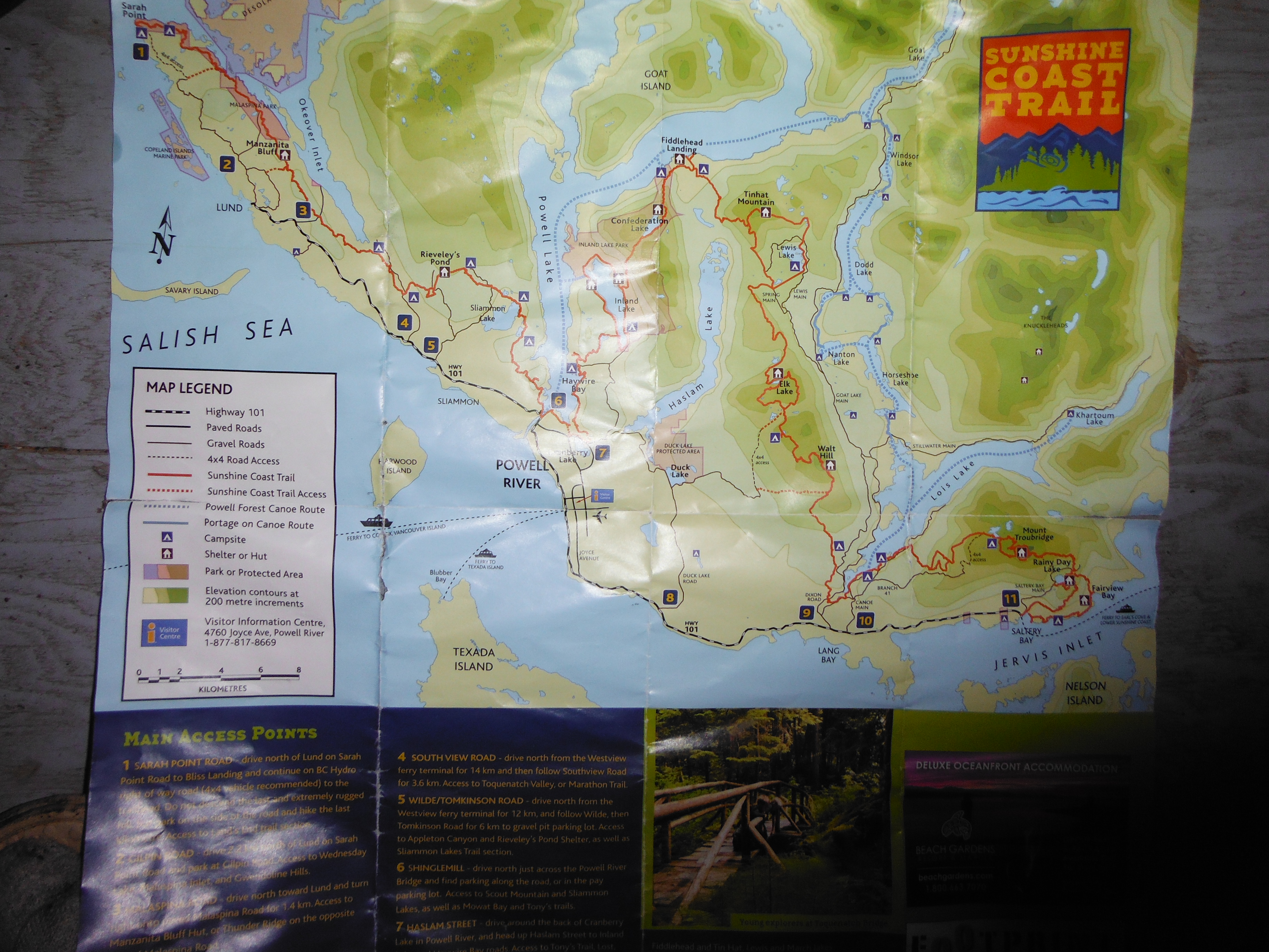
Sunshine Coast Trail Map
Introduction (Cora): A few months back, my friend Ionatan contacted me and asked me if I would be interested in joining him on the Sunshine Coast Trail near Powell River. This trail is 180 km long, and includes many lakes and mountains, as well as a portion that travels along the coast. There are huts along the trail, but the largest distance between two huts is ~48 km. Therefore, bringing a tent is a very good idea, for both this reason and also to keep bugs from eating you alive at night. Many of the huts are not completely closed but rather have open sides, which allows the bugs to find you and bite you relentlessly. I told Ionatan that I was super keen and then recruited both Laurent and Marie-Eve for the adventure. Marie-Eve read online that we could hike the trail in ten days. This seemed reasonable since that would be an average of only 18 km per day. We decided that we would hike the first 130 km from Saltery Bay to Powell River in 7 days, and then get dropped off at Sarah Point to hike the 50 km back to Powell River for our last 3 days. This is our tale.

Team Alpine Start: Marie-Eve, Laurent, Ionatan, Cora
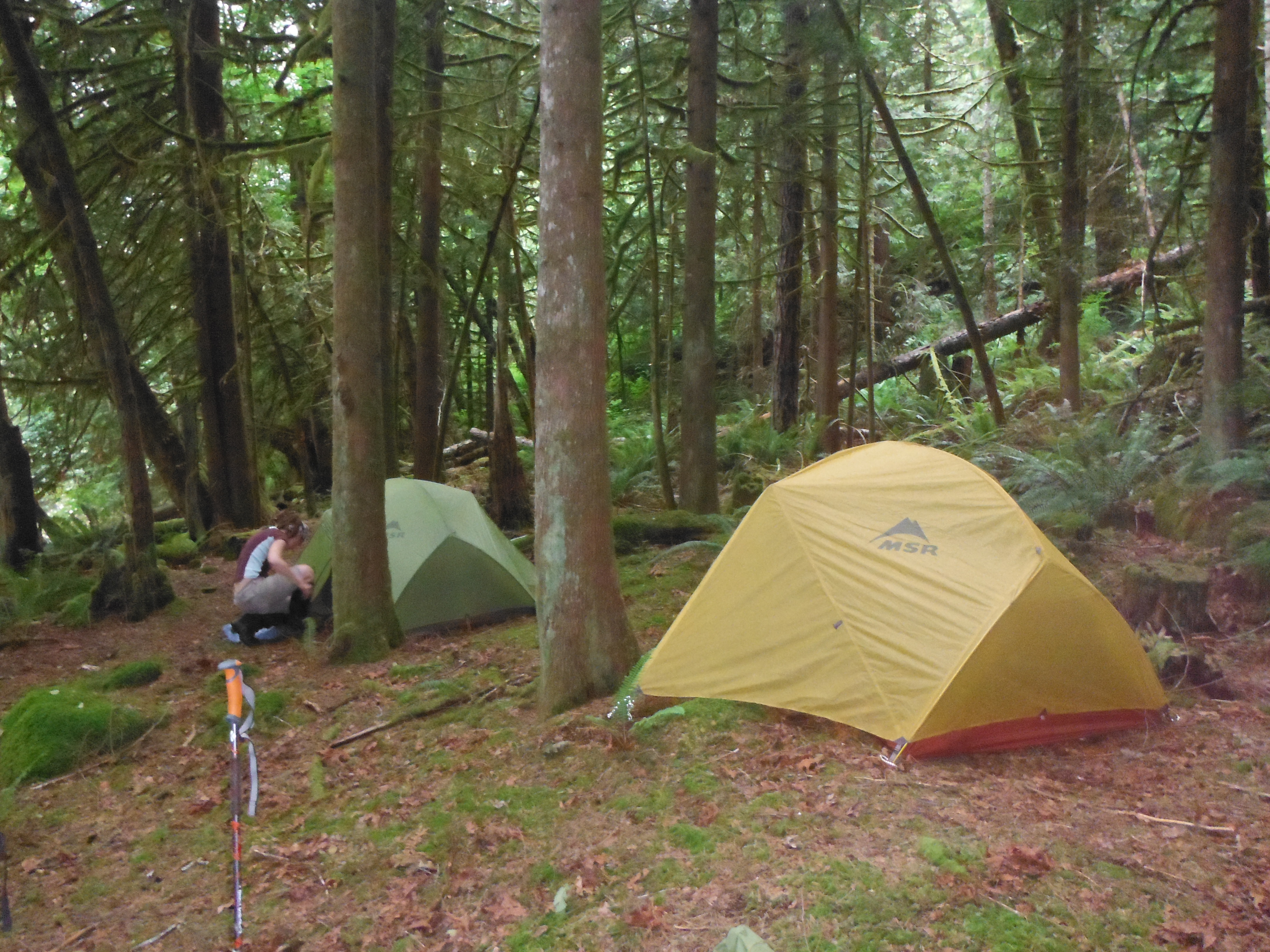
Day 0.5 (Cora): We set the pace for the trail on June 20th, 2013, when we decided to get a near alpine start and begin hiking the Sunshine Coast Trail at 5:45…. PM. Okay, so perhaps our alpine start was off by about 12 hours. But this really did set the pace for the rest of the trip.
Initially, we intended to catch the 7:20 AM ferry to Gibsons out of Horseshoe Bay which would require a very early morning departure. The day before, however, Ionatan contacted us to inform us that him and his friend Tom (who was also suppose to join us on the trip) had come down with a horrendous stomach flu and would no longer be able to join us. We therefore decided to catch the 9:25 AM ferry instead and get a little more sleep. It was a good thing that we did not aim for a later ferry, however, because the second ferry that crosses over to Saltery Bay (where the trail begins) had sailings at 12:20 (which we caught), and then again at 4:30 PM!
Once we arrived in Powell River, we first went to the visitor center, picked up a free trail map, and contacted Jon with ‘Footprint’ to arrange for a ride to the end of Sarah Point after our first 7 days on the trail. We then met up with Ionatan at the Shingle Mill Pub where he was with his friend Natalie. We decided to sit down and have a proper meal before heading out for our ten day trip. We all got along so well, that it was 5:00 PM by the time that we realized maybe we should start hiking! Ionatan decided that he was going to join us for at least the first 3 days after all where he could then exit by Dixon Road if he still felt ill.
Natalie dropped the four of us of at the trailhead near Saltery Bay, and we were finally on the trail towards Rainy Day Lake Hut at 5:45 PM. It only took us 2 hours to do these first ~11 km… but we are pretty sure we accidentally missed the trail and took a logging road up instead. It was an easy two hours.
The hut was an open sided hut and there was already one other person there: Flo from Germany! He was visiting Canada for a few weeks and decided to do this first part of the trail while near Powell River. We had a bon fire and set up our beds in the loft of the hut. Despite the walls being open, we were not eaten alive by bugs our first night on the trail. If only we knew what lay ahead…
Day 1 (Marie-Eve): In the car on the way to Powell River, we decided to not set up alarm and to instead wake up whenever we wanted. So that’s what we did the first morning… and woke up around 10 AM. I think mostly everybody was awake before that, but since we didn’t know who else was awake we all decided to stay in bed until someone started to do stuff…

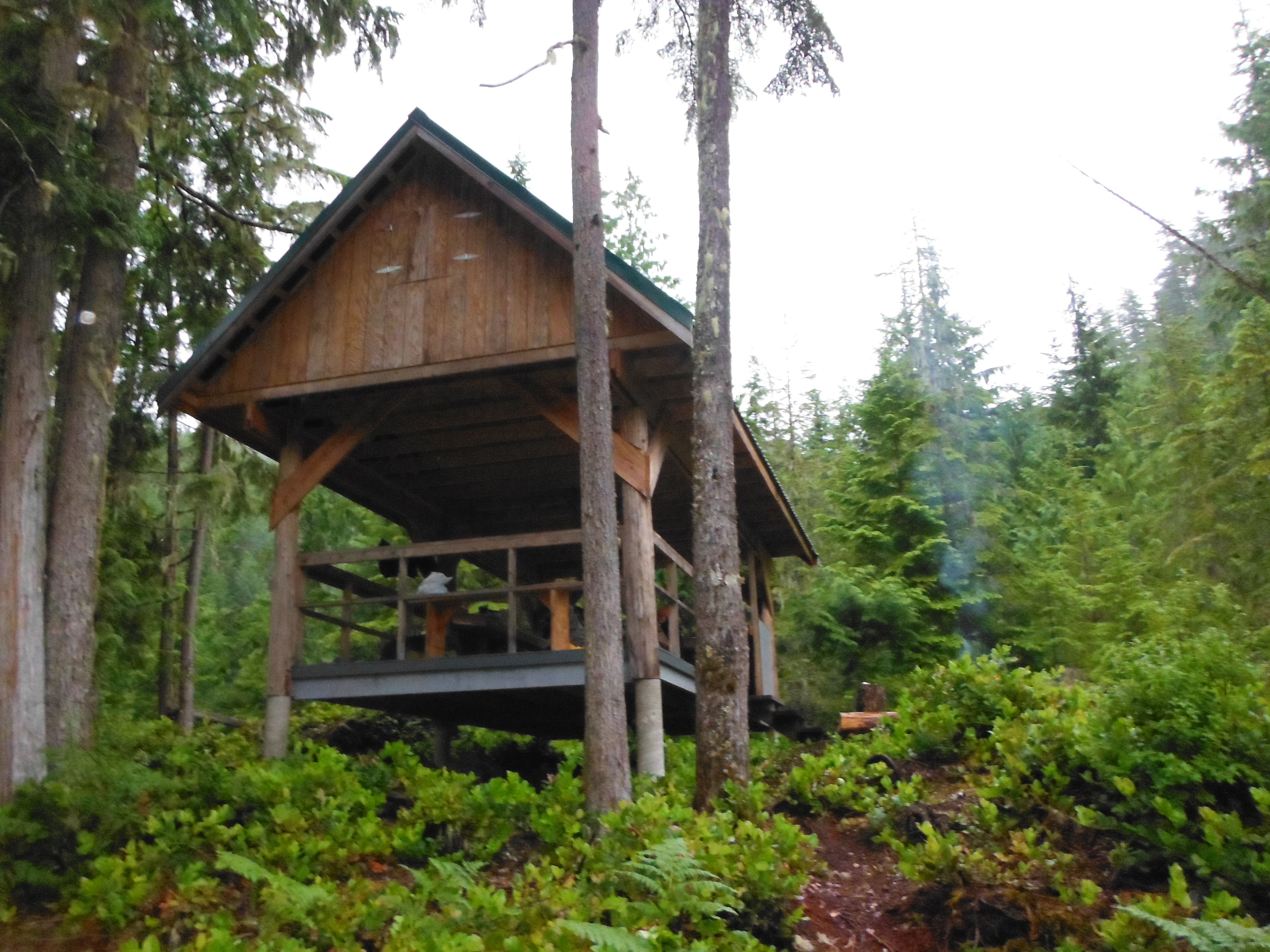
Mt. Troubridge Hut
A bit before we started hiking (around 11:30am), we heard a big screaming in the forest… Flo left us a couple minutes earlier, could be him in trouble… Ionatan went on the trail to figure out. He couldn’t find Flo or the source of the noise. Do we have a stalker? A murderer maybe following us…
It wasn’t raining…. yet. We had 11 km to do to reach the next hut, and about 800 m elevation gain, then the next camping was about 5 km after. The following hut was quite far… about 47 km and 1700 m elevation gain. We are all in quite good shape, but you know… We reached the Mt Troubridge hut around 3:30 pm under the rain. We had the choice of staying there or continuing to the next campground. Since it was raining and getting late, we decided to stay at the hut, have a good night of sleep and walk longer the next day. Ionatan had the super power of starting the fire (they use small wood pieces that look like rabbit poop…). We played our first card game: Elevator! During our game, we heard a loud weird noise again… Ionatan (very courageous guy!) went on the trail again to see if someone was in trouble. Nobody… The stalker followed us again!
Since we did only 11 km in 4 hours, we started worrying if we were able to arrive in Powell River on day 7, since we had about 120 km left. Given that we woke up so late the next day, we decided to set up alarm from now on… next morning: 7 AM! Alpine start!
Day 2 (Cora): We set out early the next morning after a long night of discussion about fun things such as teddy bears and life experiences. Luckily, this day was mostly downhill and hiking went much quicker than it did the day before. We did not come across the campsite indicated on the map as being 5 km passed our luxurious, warm, closed hut. We were very glad that we stayed in the hut!
Hiking went quickly as we passed through beautiful forest and the occasional cutblock, accompanied by a constant drizzle; the sun was yet to make an appearance. The trail is composed of many sections of logging road, which makes the hiking faster. The trail is also labelled with trail markers: diamonds indicate that you are heading North, and squares indicate that you are on the trail in the South-ward direction. I was in the front of the group when suddenly a grouse came flying at me while her babies start scurrying away! This angry grouse refused to let us pass for a long time, by blocking every advance that we made. Finally, we decided that we would rush the bird as a group. Ionatan made such unusual noises that I thought the bird was flying at my face, and I quickly ducked and covered which everyone else looked at me confused.
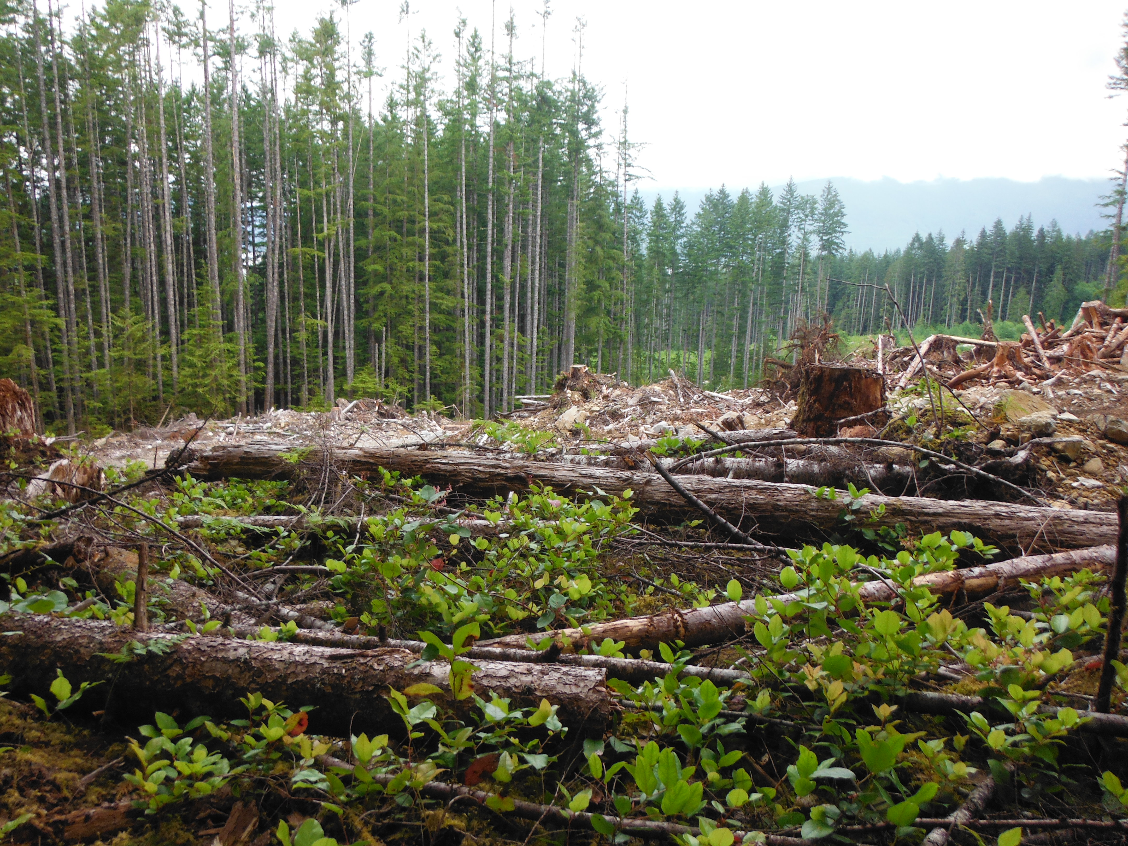
Clear cut section
Despite the hiking going quickly, we were still limited by time. I have a strong suspicion that the distances marked on the trail may not be 100% accurate as some kilometers were ridiculously long and others (although significantly fewer) felt much shorter. We passed the first 2 campsites indicated on the map as being along the lake and decided to aim for the 3rd campsite for the night. Sadly, we managed to lose the trail and became lost for approximately an hour next to where we were supposed to cross the river. This was a re-occurring theme and for the rest of the trip, we got lost on average once every two days in one way or another. Once we were finally back on the trail, we reached Dixon Road at the end of an already 22 km day, but it was getting late and the next campsite was labelled as being another 6 km away. We decided to hike back down to the river where there was flat ground where we could place our tents. Ionatan left us at this point to return to Powell River, so we were down to 3. I promise that we did not lose a member to a bear or cougar… We put all of the food together in my bag, and set up a ‘fantastic’ cache (which worked great because no bear came by to eat our food!). We bathed in the river and played cards in one of our tents until we decided to go to sleep. Sleep, I should mention, included at least one hour of Cora talking… I am very talkative in a tent, as many fellow tent mates can confirm!
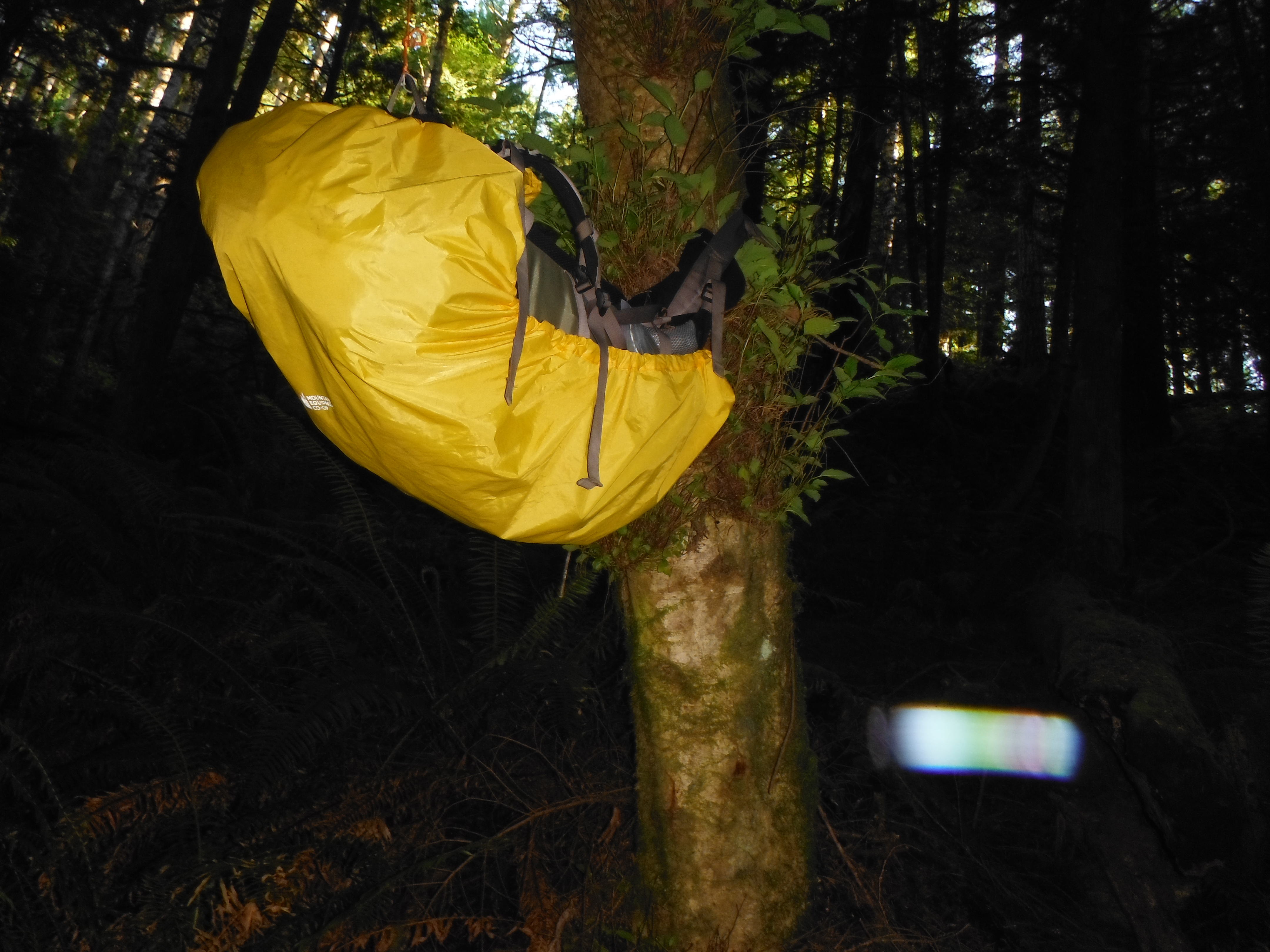
Food Cache
Camping by the River
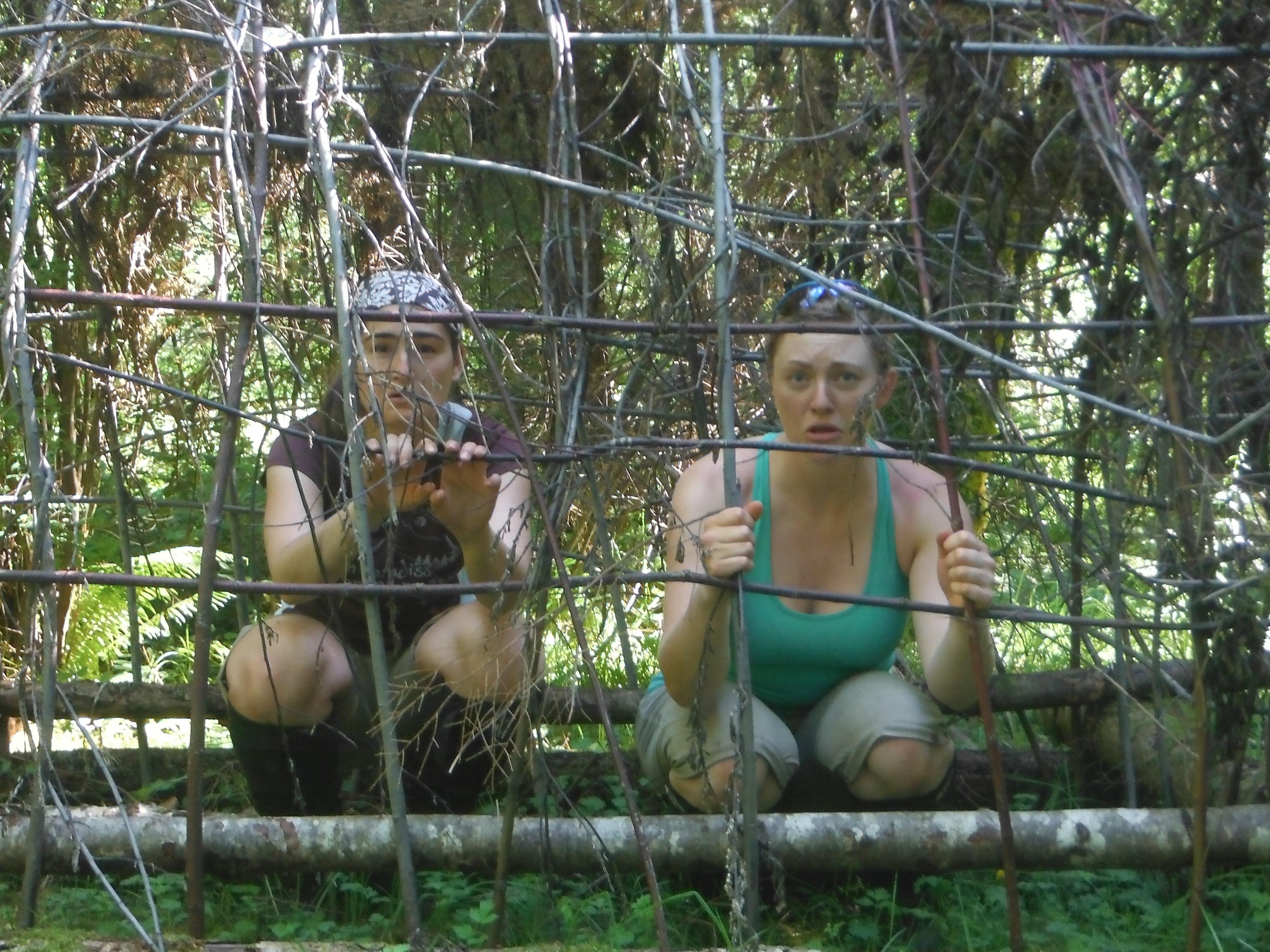
Day 3 (Marie-Eve): When we woke up this day, we finally saw a bit of sunshine! We woke up at 7 am, packed our stuff and left around 9 am. We had 13 km to do to reach the next hut (around 900m elevation gain). We crossed the road where we left Ionatan… then another road. Oops, this road was Dixon Rd, Ionatan took the wrong one… oh well. Shortly after, we found a beautiful red circus shirt on the ground… weird! Then, the unexpected happened… a Jason mask on top or a pink dress… Creepy! Is it our stalker/murderer that set it up for us? Or did Ionatan come back… A bit further on the trail, we discovered… a table with a set of tea cups!! What kind of weird party happened in the forest? Who knows…
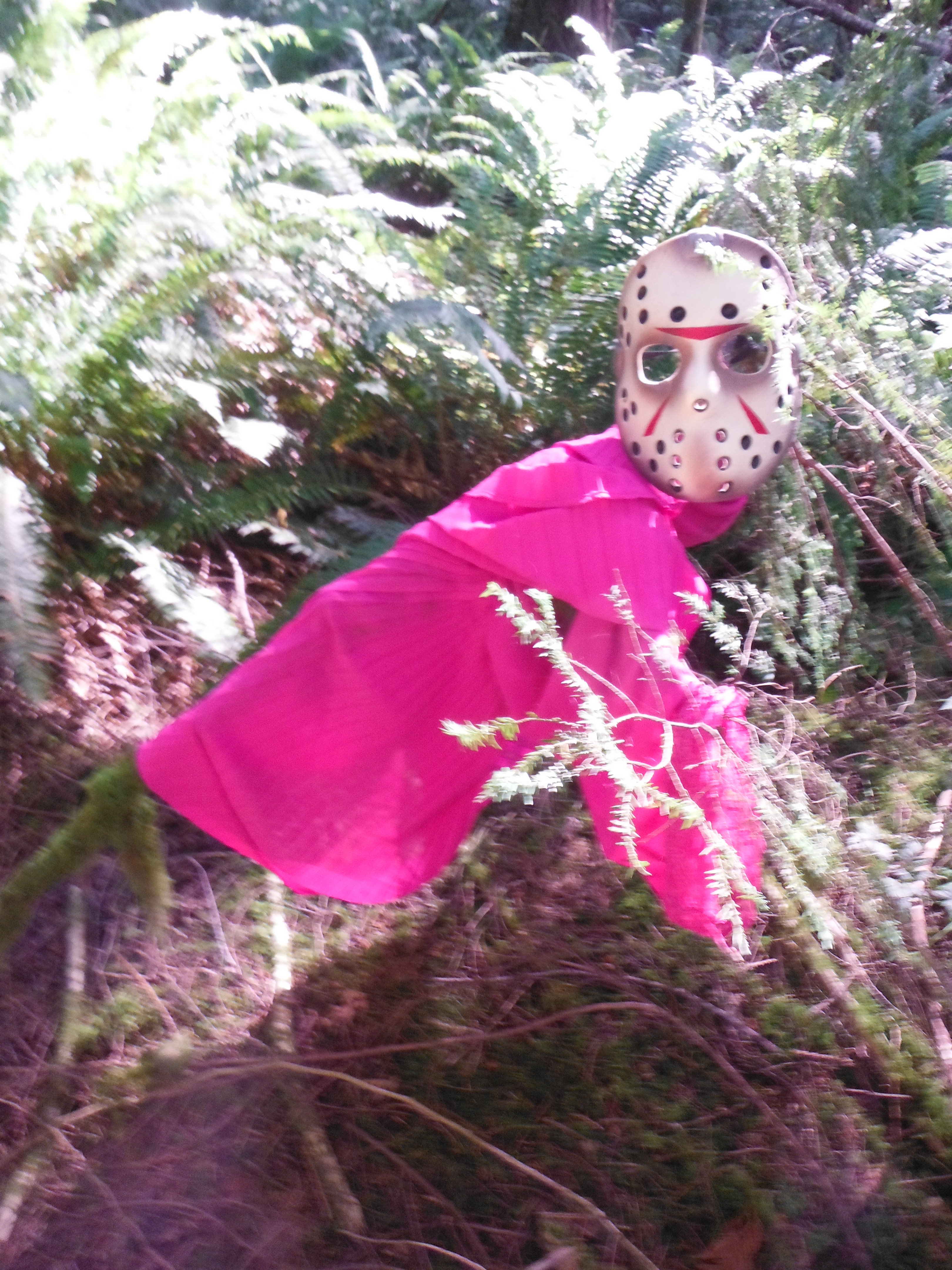
Creepy mask and clothes
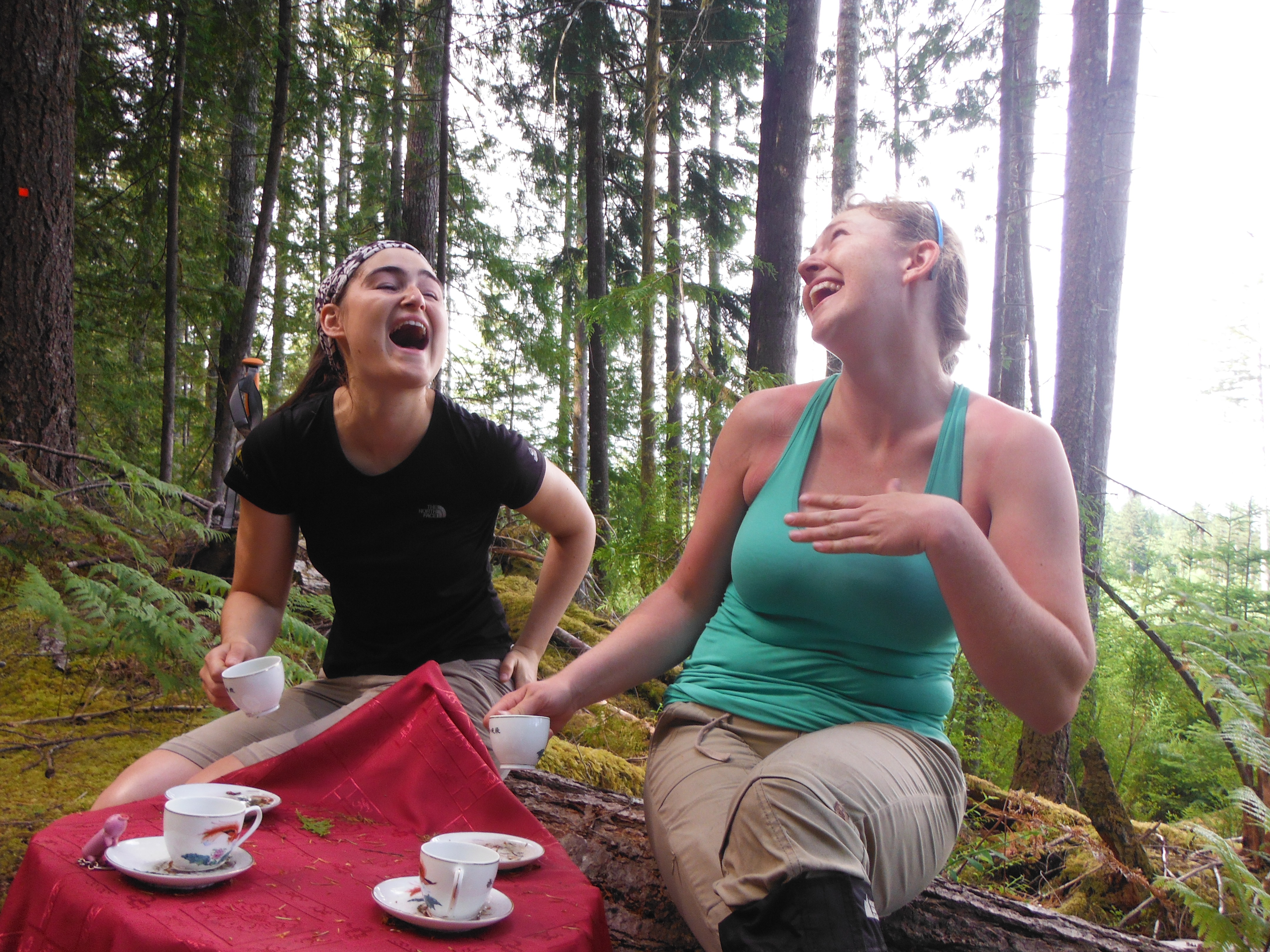
Tea Party: Marie-Eve and Cora
Then, Cora told us she saw a tick… OMG! I was very scared; the idea of having a bug inside my skin didn’t please me. She told me about the diseases you can get… from now on we started an end of the day routine: Tick search! It consists of being in underwear while the others look over your body to see if they see any. We became very close…
After the tea party, the clouds started to fill the sky… after a few km… rain again! We never found the next camping site… and apparently the trail we were on was closed due to logging. We were very glad we did not push for this third campsite the day before! We reached the first hut, Walt Hill, around 3 PM. We took a small snack break. Cora and I were very happy, the hut had spare toilet paper! Cora packed for 3 days of toilet paper, and I though I had enough with 1 roll and half… but when you pee on average 6 times a day, you need way more! From there, we felt pretty good, and the next hut was 12km away, mostly downhill, so we decided to keep going. This part of the trail was in my opinion the worst of the whole trip… full of crazy mosquitoes! Then I realized that I left my bug repellent at the river. Of course I was the only one that brought some… Our feet started to hurt, it was now pouring rain… we finally reached the second hut (Elk Lake hut) around 9 PM, making it a 26 km day. We were very happy to see the hut, we were singing and yelling. Oops, a lovely couple and their dog were already there, upstairs, possibly sleeping… well… now they were not anymore. When we set up our bed, we saw that they set up the mosquito net part of their tent. It was quite late and we were very tired, so we decided not to do that… and we thought it wouldn’t be too bad… Around 2:30 AM in the morning, unable to sleep, having mosquitoes and butterflies landing on our face, we finally decided to set up the tents inside the hut. Poor couples… we were not the best hut-mates ever! But they were very good-humoured and laughed at us secretly. The last thing they heard from us at 2:30 AM was Cora saying “Sorry!” as we all settled down to finally get some sleep.
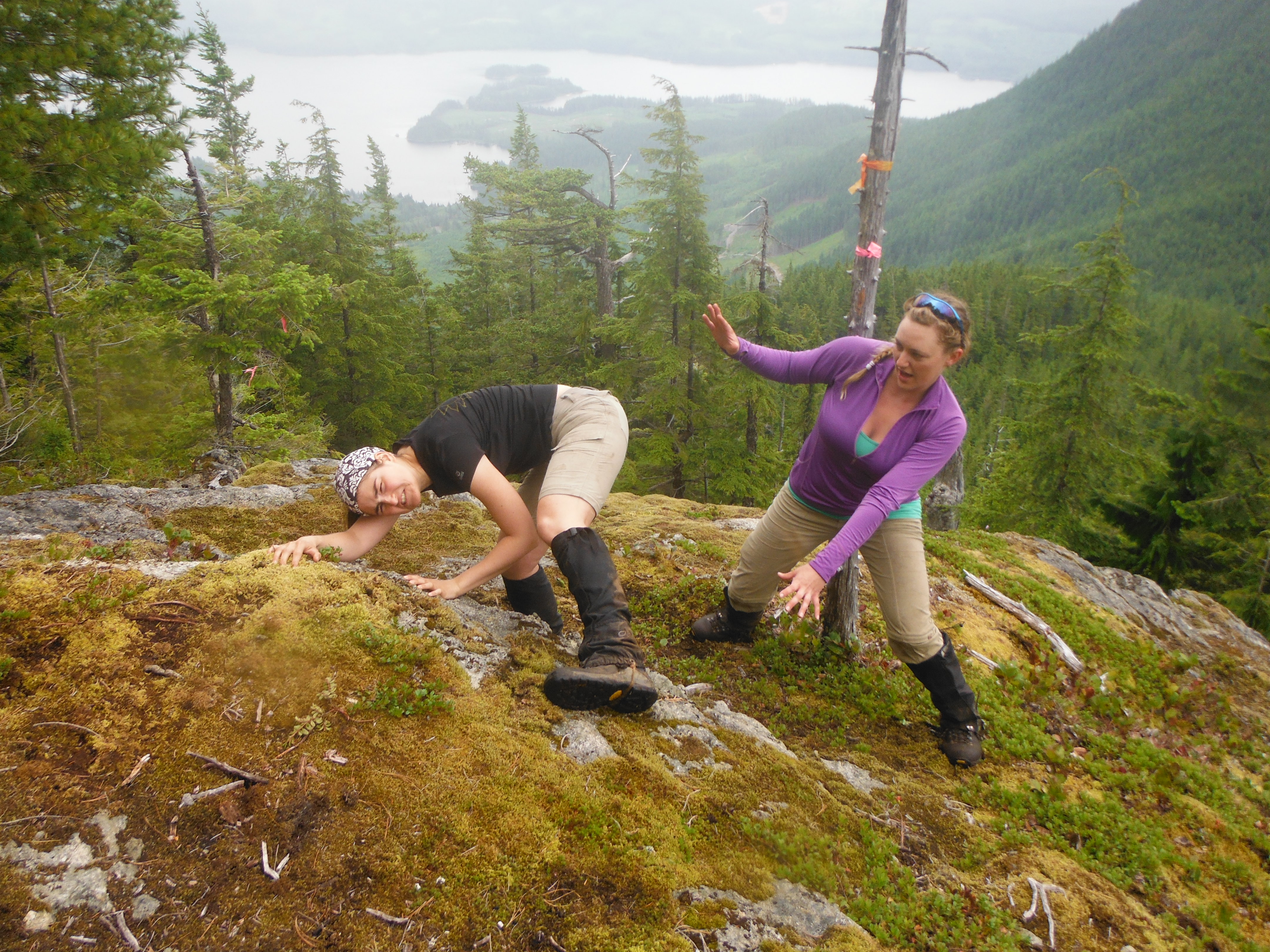
Marie-Eve and Cora: Cora is spotting Marie-Eve while she attempts a difficult boulder problem…

Laurent and Cora posing with a view.

Elk Lake Hut
Day 4 (Cora): We had 20 km to cover this day. The lovely couple informed us that the first 18 would be a walk in the park, followed by 2 very steep kilometers to the hut. They sure were right! We just did not know how right until it was too late. We hiked the first 18 kilometers in just over 4 hours and were feeling great! We passed through many clear cuts, and along many logging roads. We provided each other with entertainment by talking about our personal lives (I am really talkative while hiking as well, not just while in a tent). We noticed a re-occurring theme along the trail: every time there was a clearcut, there was a bench on a hill along the trail so you can sit there and admire the lovely deforestation that marked much of the trail.
The 19th kilometer took us much longer than expected and was surely much longer than the one kilometer indicated! We still had a few hours of sunlight to complete the last kilometer, when suddenly the trail markers ended. All that remained was pink flagging tape. When we had been lost two days before, we were following pink flagging tape and this sent off red flags in my mind. There was often a second trail of pink flagging tape which was NOT the SCT! We looked around for hours trying to find the right way. I scouted the pink flagged route for about 20 minute and decided that it did not lead to much. We had a group meeting and decided that we might as well follow the pink trail further and hope we get somewhere. So began the longest kilometer of our lives… to hike this one kilometer, it must have taken over 2 hours! It was very slippery in the rain since much of it involved scrambling on all fours. Morale was very low as the sun began to set and we had no idea if we were going in the right direction. Throughout the trip, we often sang while we walked. When morale was low, I decided to start singing again despite exhaustion to cheer myself up. I ended up in the front of the group when suddenly I interrupted my song to yell “HUT!!!!!!!!!!!!!!!”. I have never ran so fast in my life with a 40+ pound bag on, I was so excited!
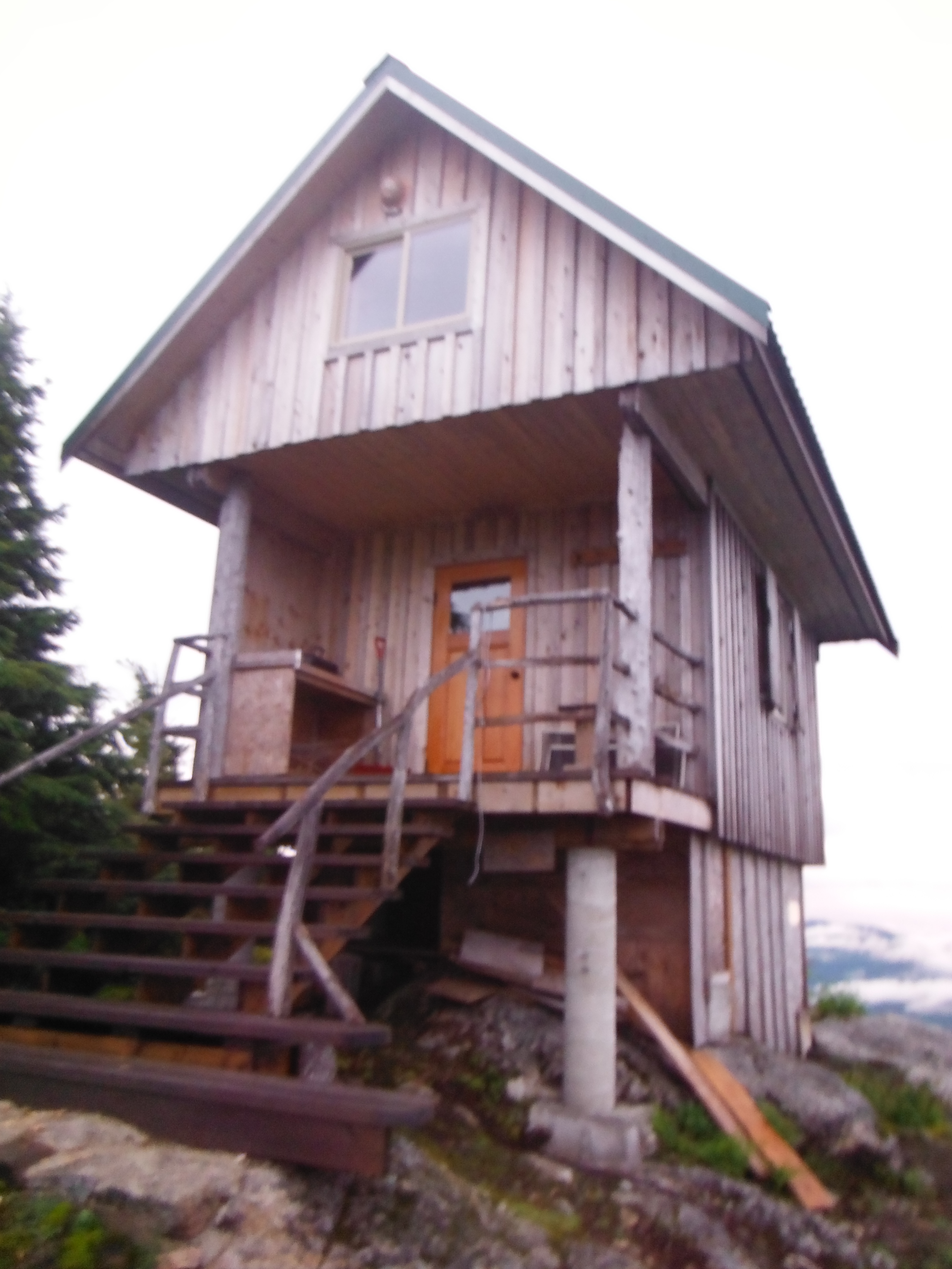
Tin Hat Hut
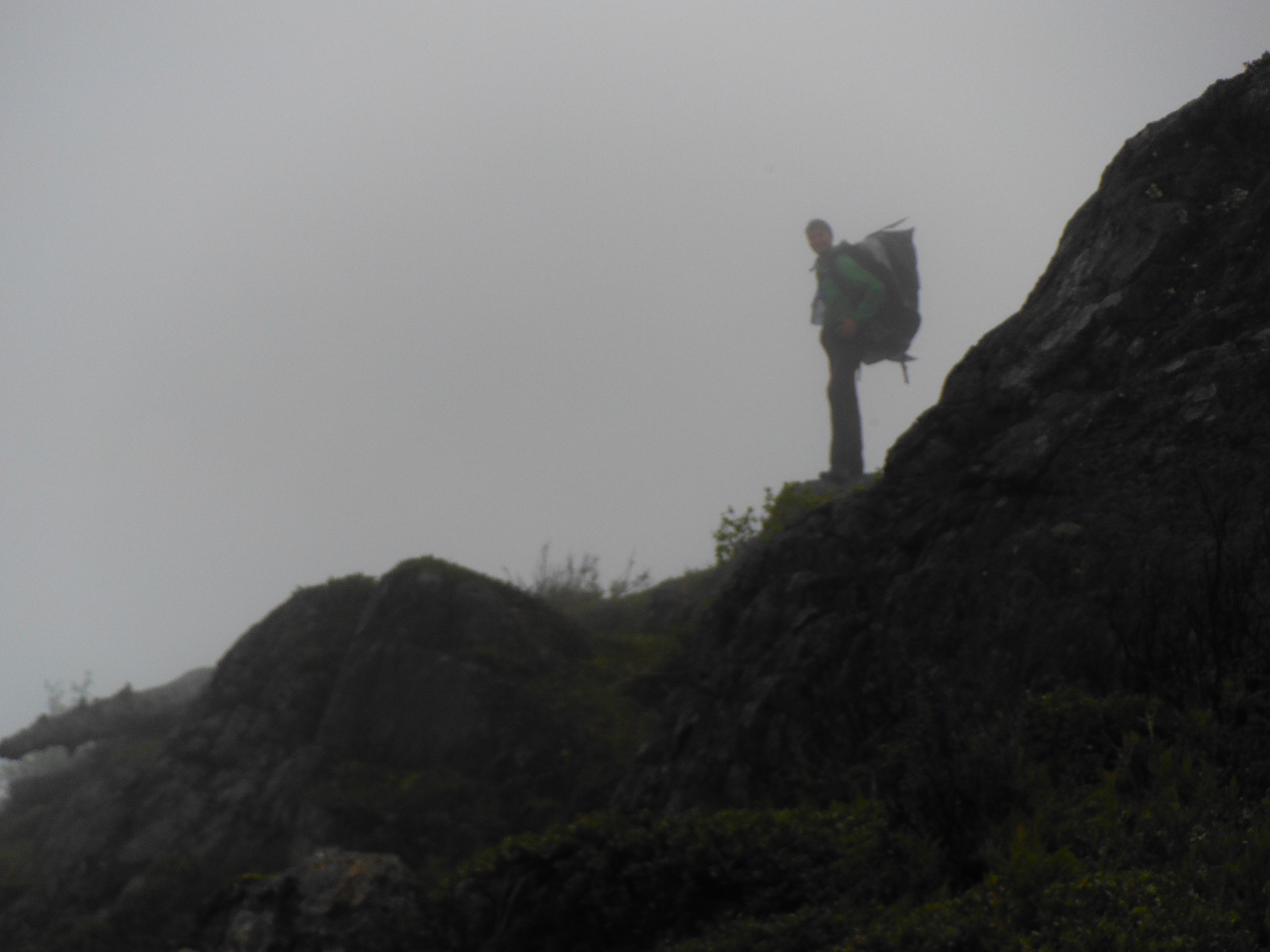
Laurent in the Fog
We were sadly not able to get the wood stove started to provide added warmth and dry our clothes, but at least this was a closed wall hut. It was St-Jean Baptiste Day, and since we had two Quebecois with us, we celebrated long into the night by playing elevator and drinking fireball (except for me who is a teetotaler- but I get placebo drunk!). I tended to win elevator most often when everyone was sober, but as soon as Marie-Eve has some fireball in her, she dominates the game! We celebrated so late into the night that the sun was rising. At 5:00 AM, I glanced out the window to see that we were no longer shrouded in fog and could see the 360 degree view around the hut! Laurent and I went out to enjoy it, deciding not to wake Marie-Eve up, assuming it would be clear when we woke up at 10:30 later that day for yet another alpine start… we were wrong…
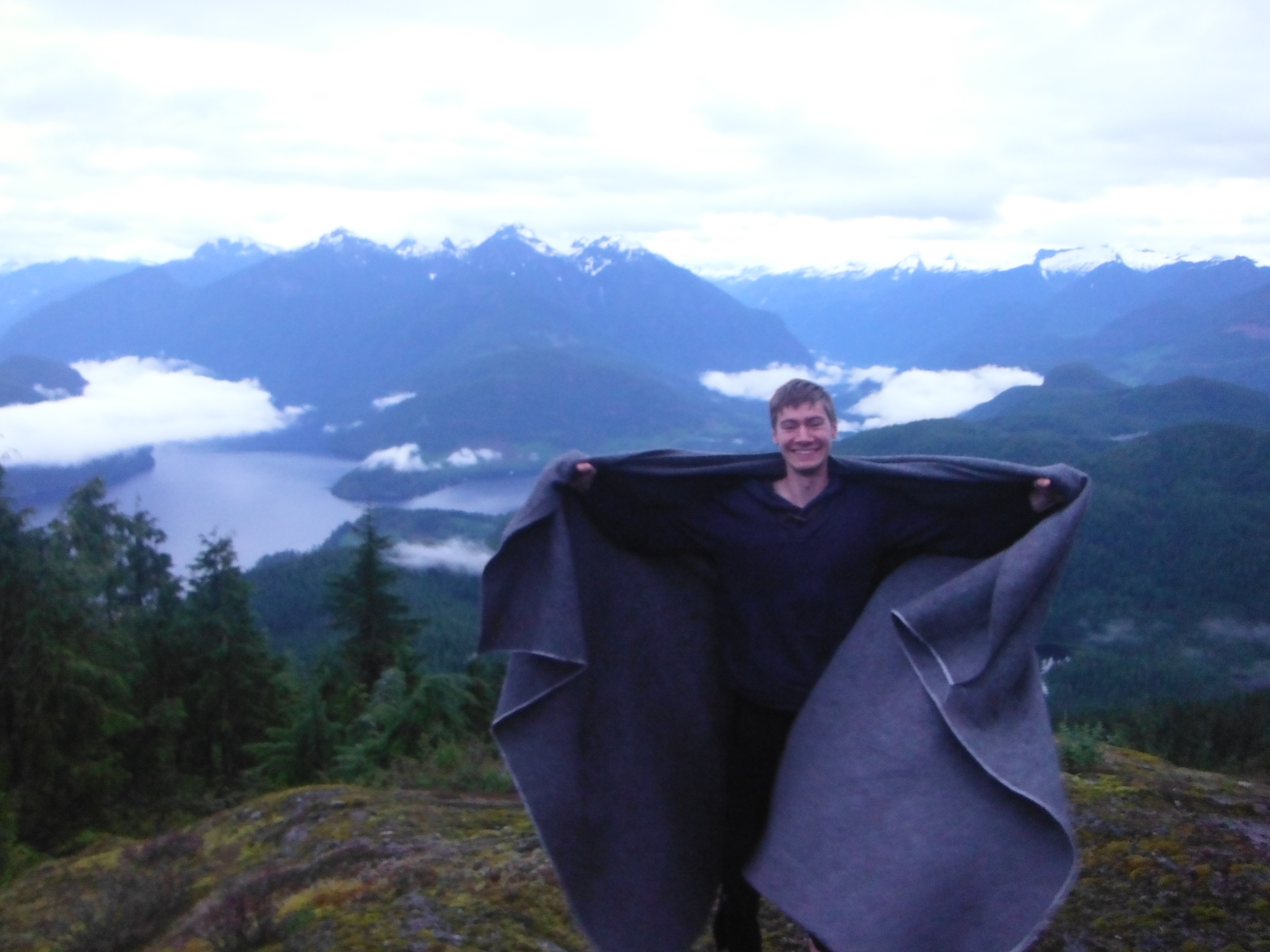
Laurent with the view from Tin Hat Mountain
Day 5 (Marie-Eve): After a late arrival and a bit of St-Jean Baptiste celebration, we decided not to set up the alarm and take a rest. Cora and Laurent went back to bed. We then all woke up around 11am. It was pouring rain! When I found out about the 5 AM view and the fact that they didn’t wake me up, I was quite mad, since it was supposed to be the best view of the trip. But in either way, I would probably have been mad…
Since we had to go down on a steep section possibly on boulders, it was safer to wait for the rain to calm down… we played cards again. Around 3:30 pm (clearly another alpine start), it stopped raining, and I had the chance to see a bit of the mountains through the clouds… better than nothing! We left around 4 pm. This was when we decided to call ourselves “Team Alpine Start”. We only had 9 km to do to reach the next hut, all downhill. We met two hikers on the way; they told us to be careful since it took them a while to find the Fiddlehead Hut, our next hut. First, they thought it was this small and ugly shack, but no… they found the real hut an hour later. The hut was supposed to be on km 81… Around 6pm, we reached the km 80, so we passed the hut… oh wait, the hut is on another trail that cross the SCT. Came back, stopped at a junction. Cora went to scout… and came back 1h later. She tried every possible trails, no hut. We came back further. Laurent went on one direction; I went on another. We finally met at the same place and continued searching. We found the same lake Cora had found on her journey (the hut was supposed to be on the side of it), but no hut. We came back on a trail in the middle of nowhere with our markers. We ended up at the previous junction where Cora did scout. Two hours later she was surprised to see both of us coming back together from another trail… Well, we never found the Fiddlehead hut! So we decided to sleep in the Shack… best Outhouse ever! Smelled of freshly cut cedar!

Inland Lake Hut Greeting
Day 6 (Cora): We woke up around 8 AM the next day and packed up to head out around 9:30 AM. We never did come across Fiddlehead Hut, but we did begin our long hike uphill to reach the creepiest hut I think I have ever seen: Confederation Hut. From the outside, the hut looks like a nice log cabin along a lake. Once you get inside though… it is creepy. There are old bunk beds set up with potentially bed-bug infested foam mattresses, a wood stove and cob webs everywhere. The outhouse had no roof and the walls were ripped off half way down! We were glad that we were only having lunch here and not sleeping in this hut…
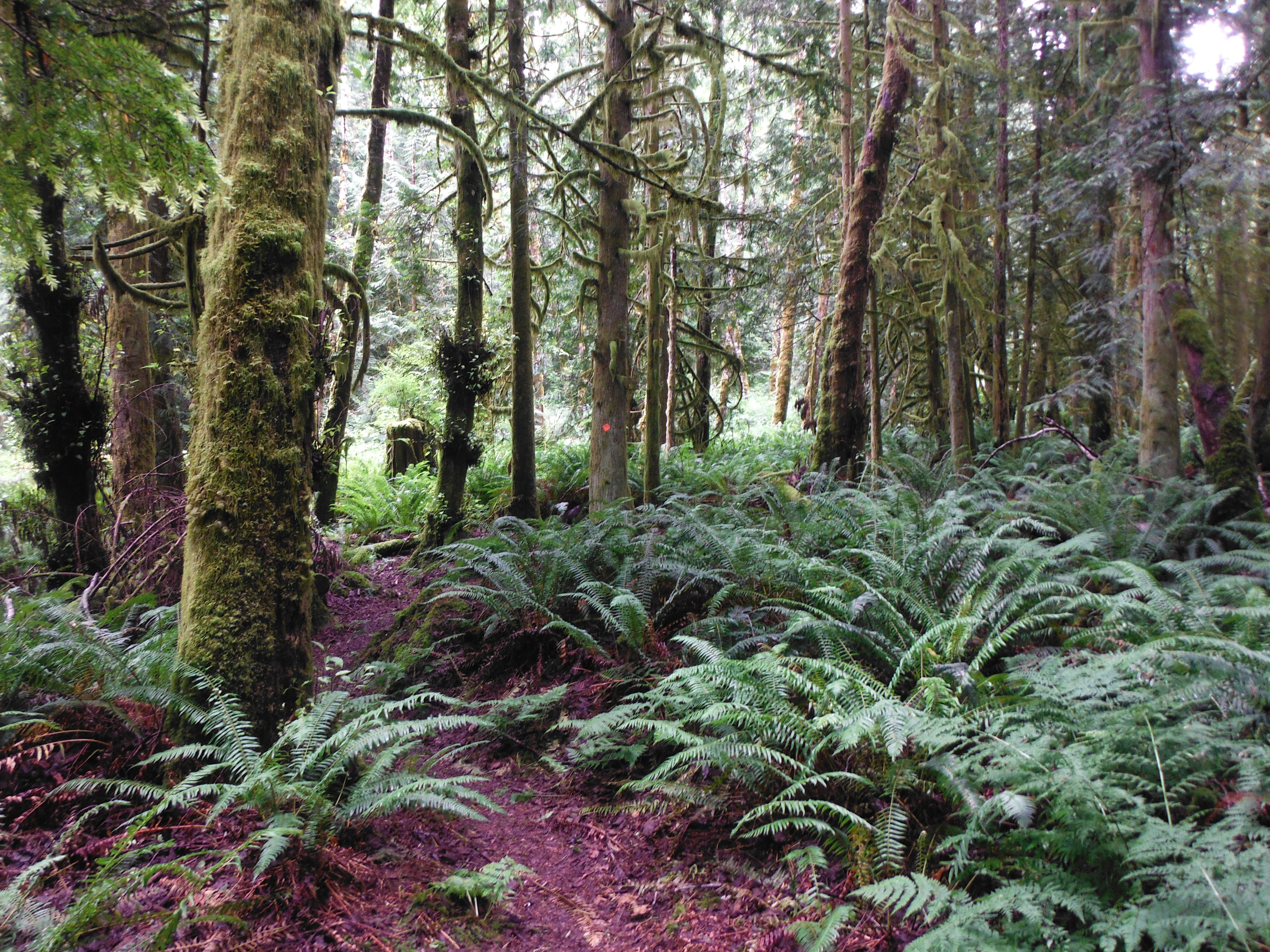
We continued on through beautiful forest that was not recently clearcut and replanted. We made it to Inland Lake Hut which was slightly less creepy… it had things written on the doors such as “Beware of the Crows”. There were three raised bed spots on top of a dirt floor. The hut was not, however, fully enclosed and we decided to set up our tents to offer bug protection… they fit well enough on the bed spots to work…
We bathed in Inland Lake with the biodegradable soap that was brought. For whatever reason, there was a fish that started to graze my foot. Now, I am all for animals and love them greatly, but this tickled and gave me an uneasy feeling. Then the fish became braver and started inserting my entire toe in its mouth and biting!!!! I was bitten by a fish! After the third time this happened, I had enough and evacuated the lake! I do not understand why Laurent and Marie-Eve were not targets.
That night we decided to spice up our game of Elevator by bidding blindy (i.e. before you look at your cards). It turns out that Marie-Eve is also very good at this game with blind bidding…

Wolf Hat
Day 7 (Marie-Eve): We woke up around 8:30am. Both tents survived! We left around 10:30am. We had 18±1km with a bit of elevation gain to hike to reach Power River. We felt so light! We finally reached a road in Powell River. We decided to call Natalie to get a ride back to Cora’s car and then her place where we spent the night. We briefly talked with Jon, the guy that was supposed to give us a ride to Sarah Point. We had the choice to leave the next day either at 7:30 am or around 4 pm. Cora was very tempted by the 4 pm so we can go to the Karaoke night, but the smartest decision was the early start and we all agreed. Then we washed our clothes and took a shower! Woohoo! Cora found a fantastic wolf hat that she kept when we did our grocery shopping. Ionatan joined us and made a great dinner (vegan and without gluten). We spent the rest of the night watching Youtube video. Best night ever!
Day 8 (Cora): We were woken up at 5:50 AM to prepare for our departure. Ionatan made us some gluten-free pancakes and other delicious food! We said good bye to Natalie and Ionatan and met with Jon from Footprint at 7:20 AM. We first had to hike about an hour to Sarah Point from the end of the road because the road gets too rough passed that point for most vehicles to drive. We had second breakfast at the official trailhead, and then began hiking from km 0! Much of the first part of the trail is along the coast, and then it goes into a beautiful moss-covered forest. Miraculously, it was not raining!
This did not last the whole day, however. As we approached Manzanita Hut, it began pouring rain. It turned out to be quite the good thing, however, because there is no water source at Manzanita Hut and we were out of water! The rain was dripping off of the roof, forming a puddle next to the hut that we pumped water out of. Once it stopped raining, the puddle disappeared.
We did our usual routine of card playing this night before going to bed, but we also were presented with a beautiful view of the ocean and Texada Island as the sun set.
View from Manzanita Hut
Day 9 (Marie-Eve): We woke up around 8 AM with… the sun!! We had a fantastic view on the ocean and the island. We had 17km to do, up and down. The plan was to eat at the camping site possibly close to a lake, so we can have a swim… well the lake was far. And the creek beside was… small! It quickly became very warm and humid… but we still didn’t miss the rain! We were hoping the pond close by the Rieveley’s Pond Hut would be good enough so we can jump in… well, no! The mud was so thick, Laurent was close to lose his sandal in there. No swimming/washing for today. Laurent looked at the sky and said: I am 100% sure that it won’t rain in the night. That was convincing enough for me to decide to sleep with my tent outside without the fly. I didn’t have the best sleep ever… without a fly, the bears and cougars can see me and attack me, right? Luckily, I survived…
We found a cage!
Beautiful trail.
Day 10 (Cora): We woke up to sun once again to begin our last day on the Sunshine Coast Trail. At this stage, we all had our injuries and pain. For me, I had a blister that formed on day 3 that was becoming extremely deep and unbearably painful. Others had toe ailments. Marie-Eve was kind enough to provide me with mole skin for the second half of the hike, and I am still grateful!
Maybe it was the sun, but this was the most beautiful portion of the trail in my opinion! We passed through so many beautiful forests and beside beautiful waterfalls. The viewpoint on the bluffs above Powell River was also quite beautiful. About 7 km in of these last 17+/- 1 km, I managed to sprain my foot. I sat off of it for 5 minutes, then powered through. When I woke up the next morning, it took me a few hours before I could weight-bear again. I am so thankful that it happened on the last day and not before!
We returned to Powell River and slept at Natalie’s once again, greeted by more of Ionatan’s wonderful cooking and Youtube videos. The next morning we could not sleep too late because we planned on attending the Farmer’s Market before catching the 2 PM ferry over. Little did I know, but the next day I was going to get to do something I have always wanted to do… pick up hitch hikers!
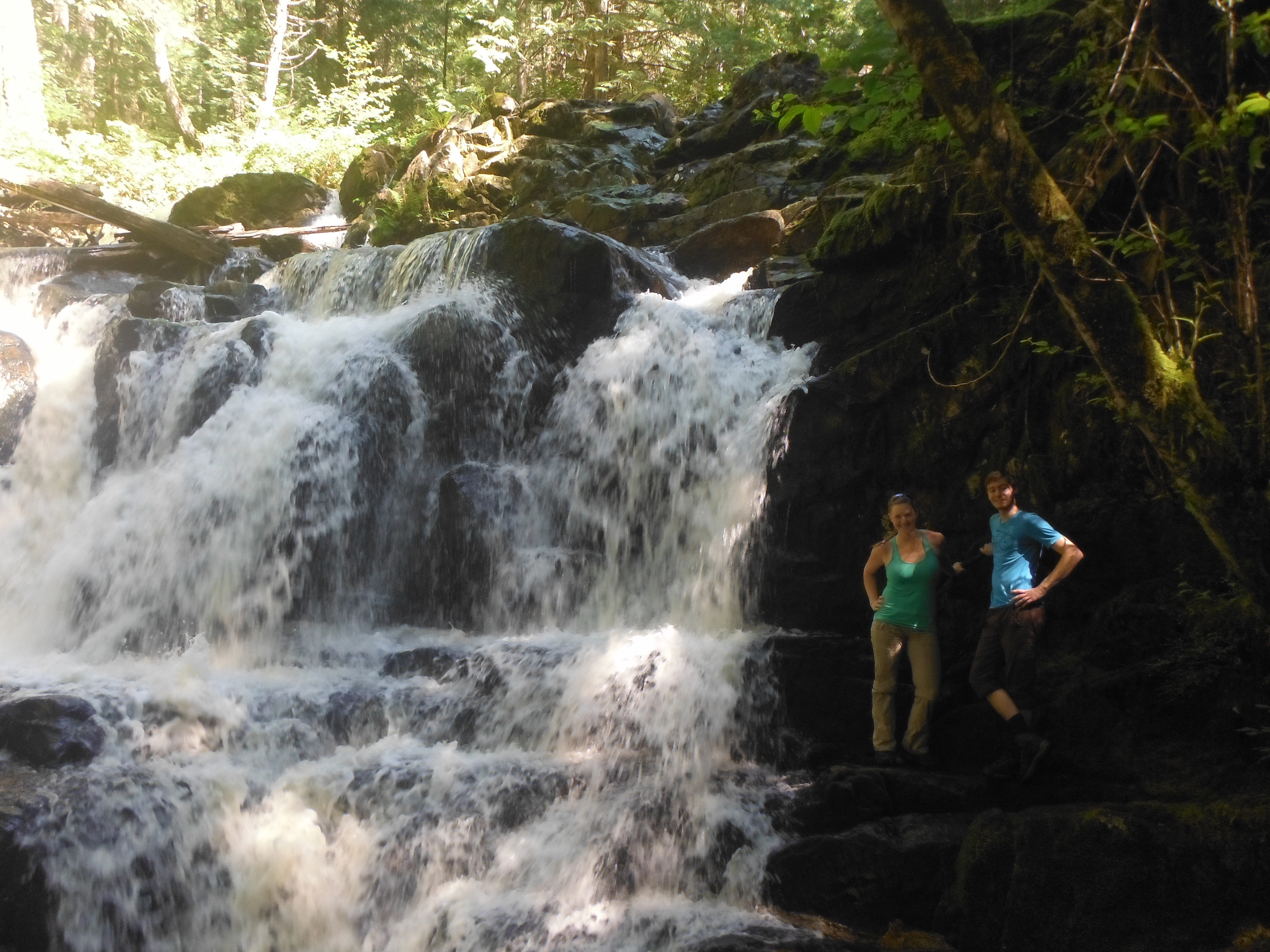
Waterfall- Cora and Laurent

Dog Paw Pond

Laurent looking out to Powell River
Day 11- Closing Statements (Marie-Eve): (Farmer’s Market) Last day, time to say good bye to Powell river. The Farmer’s Market was very nice, lots of local products and great music. Ionatan even sang some songs on the stage! We left around 12 pm to catch the 2 pm ferry. On the way back, we saw two hitch hikers on the side of the road, with a sign to Vancouver. Cora saw them, and on an impulsion decided to stop the car to take them. They were both very nice, we happily didn’t pick up serial killers.
What I learned from this trip? 1) one roll of toilet paper for 7 days is not enough, 2) One jar of Nutella is usually enough for 1 year, but for a hiking trip one is necessary for 10 days, 3) I started with 2 numb toes (due to backcountry skiing 2 months ago…), now I have 3 and half, 4) We don’t know a lot of song lyrics, it can quickly become redundant, 5) My boots stay dry for about 4 hours of rain only, 6) Total eclipse of the heart is an awesome song, 7) Mosanto is a very bad guy/company, but I like Minute Maid juice too much (and Quacker’s chips…), 8) Cheese that stays in a warm car for 7 days is not gonna stay good, 9) I am smarter when I drink Fireball
And finally, 10) hiking 180 km, even under the rain, is a lot of fun!
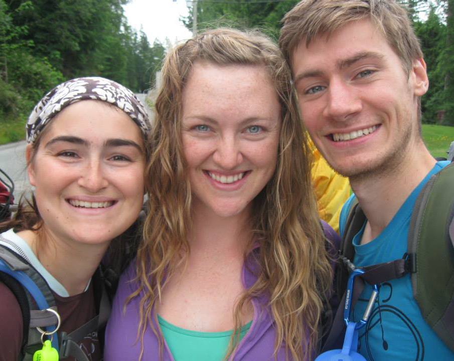
Us after 7 days of hiking: Marie-Eve, Cora and Laurent.
Nice TR! You know Cora, some people pay good money to have their feet nibbled by fish. http://en.wikipedia.org/wiki/Doctor_fish
I have a photo next to that waterfall too! I walked between the two lakes either side of that waterfall (and car camped in the parking lot in the middle)