VOC trips are organized by members like yourself, not professional guides. The trips go into wilderness areas where assistance is unavailable and unexpected events can occur. You could be seriously injured or die. You are responsible for your own actions. Please use caution.
Swim-bagging the Alpine Lakes High Route · Fri. Aug. 8th, 2025 - Mon. Aug. 11th, 2025
- Details Page: Where you can see brief trip details (publicly viewable).
- This trip does not have an associated Wiki Page.
- This trip does not have an associated Message Board Thread.
- Signup Page: Where you can signup, bail, edit participation entries, see/email members on the trip, etc.
- Wikitext Page: From where you can cut and paste information formatted for the wiki.
- Printable List Page: Which generates a printable list of participants.
- Edit Page: Where the trip organizer can edit the entry for this trip.
- Mark Going Page: Where the trip organizer can sign members up as "actually going".
- Modify Signups: Where the trip organizer can change signup classes.
Start: Friday, Aug. 8th
End: Monday, Aug. 11th
Pre-trip meeting: Wednesday, Aug. 6th
Pre-trip meeting location: Clubroom
Description:
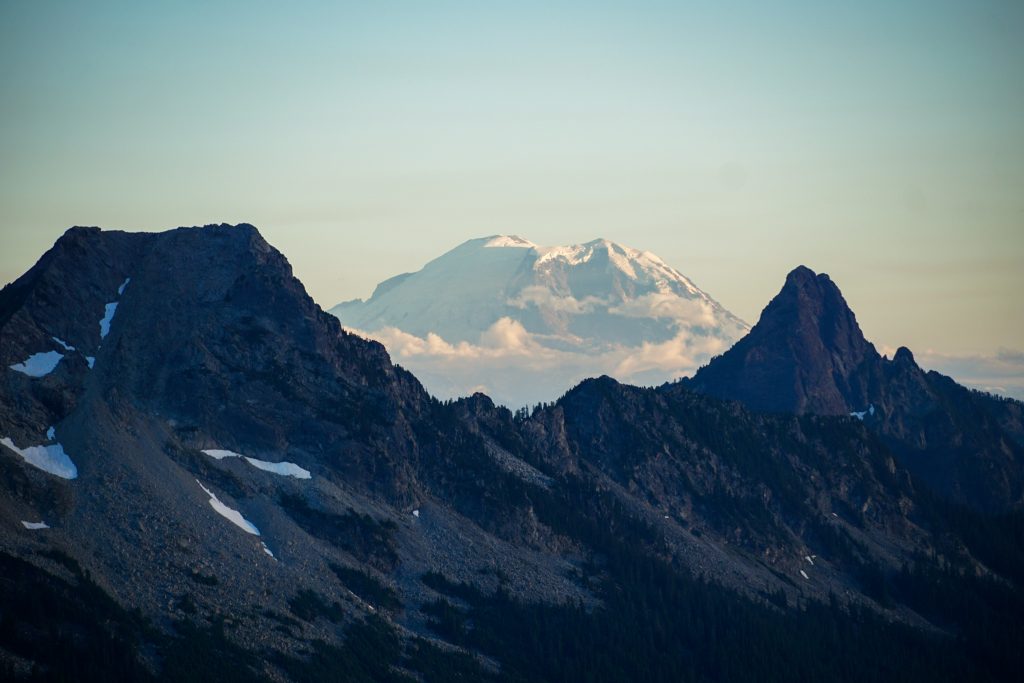
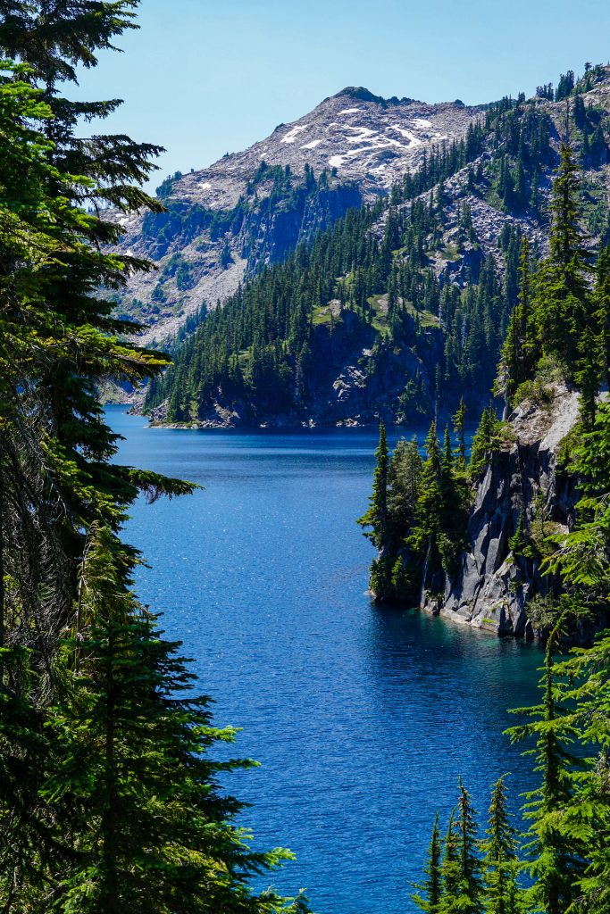
The alpine lakes high route is a 45 km trail/scramble that passes through the enchantment's area (but doesn't require the impossible-to-get) permits, near seattle. Even though it's only 45 km in length, the trail has some extensive boulder fields and requires a fair bit of navigational skills. The plan would be to head out early friday morning and return monday evening.
Note: the trip is beginner friendly in the sense that I'd like to take 4 days instead of the usual three to be able to soak in the sun and the views + do some swimming in the (many) lakes. However,
The trip requires decent navigational skills, a whole lotta bushwhacking and the ridge up to tank lakes is a class 2 scramble, with some class 3 moves, and plenty of exposure. Also, it's in the USofA. So a SAR call is going to cost $$$$. So ideally, if you're signing up, you've gone backpacking before. (Also make sure you can travel to the states lol)
I'll update this with a more concrete plan once more research is done. Depending on how gnarly the section of the trail to tank lakes is, we might make a detour via the lower route, or split into two groups based on confidence level (one taking the upper and one taking the lower) for that section of the trail. Depending on the experience level of the group, there are a few peaks along the trail that are reachable via a light scramble as well.
Owning a garmin-type sattelite communicator would be especially helpful for you to have for this trip, but not strictly necessary for each person to carry (having more than one across the entire trip group would probably be needed though).
https://www.alltrails.com/trail/us/washington/alpine-lakes-high-route
https://www.youtube.com/watch?v=y60frKNNoL4
Posted: 2025-06-21 23:43:46
Last modified: 2025-06-24 19:35:02