The Bedwell Centennial Trail is around 34 km.
It starts at the Bedwell Lake Trail in Strathcona Park near the middle of Vancouver Island. It ends at Bedwell Sound, 30 km from Tofino. There is a dude ranch at the end, which you can’t access by car. The trail was put up to help prevent future logging of Clayoquot Sound and to stop the dude ranch from building a horse trail up the Bedwell River Valley. It was put up in 2010, and there aren’t any recent trip reports.
We started on a windy day. My grandparents tried to drive me and my dad up to the trail. It was blocked up with danger tape, which was there because of what turned out to be downed power lines. The crews were letting people through the tape. My grandparents were going to hike with us for a bit, but the danger tape caused them to turn around.
We walked up the road for around 5 km to the trailhead for the Bedwell Lake Trail, maintained by BC Parks. There were a lot of green steps, and most of them were squashed by snow; there was still some snow along the trail. The trail was very clear until after the Bedwell Lake campsite. From there we headed up a route that ended up being the wrong trail, which we realized after seeing that we were going towards Cream Lake. We turned around, and my dad found the right trail. The sign that said Bedwell Valley Route was cut off and said “ALLEY ROUTE,” which my dad finds too amusing. There was a pay zone for the Bedwell Lakes for camping overnight, so we went out of the zone.

First Bridge on the Bedwell Lake Trail
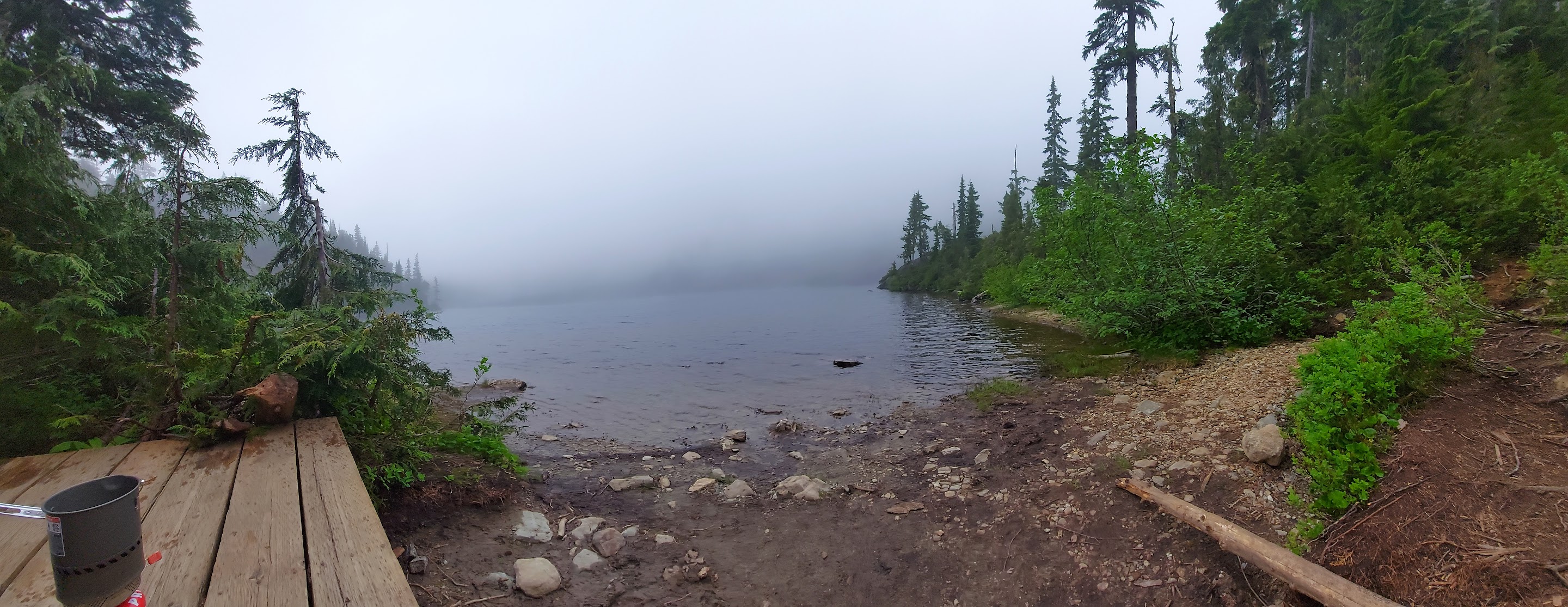
Supper at Baby Bedwell Lake

Squashed Green Stairs

Snow
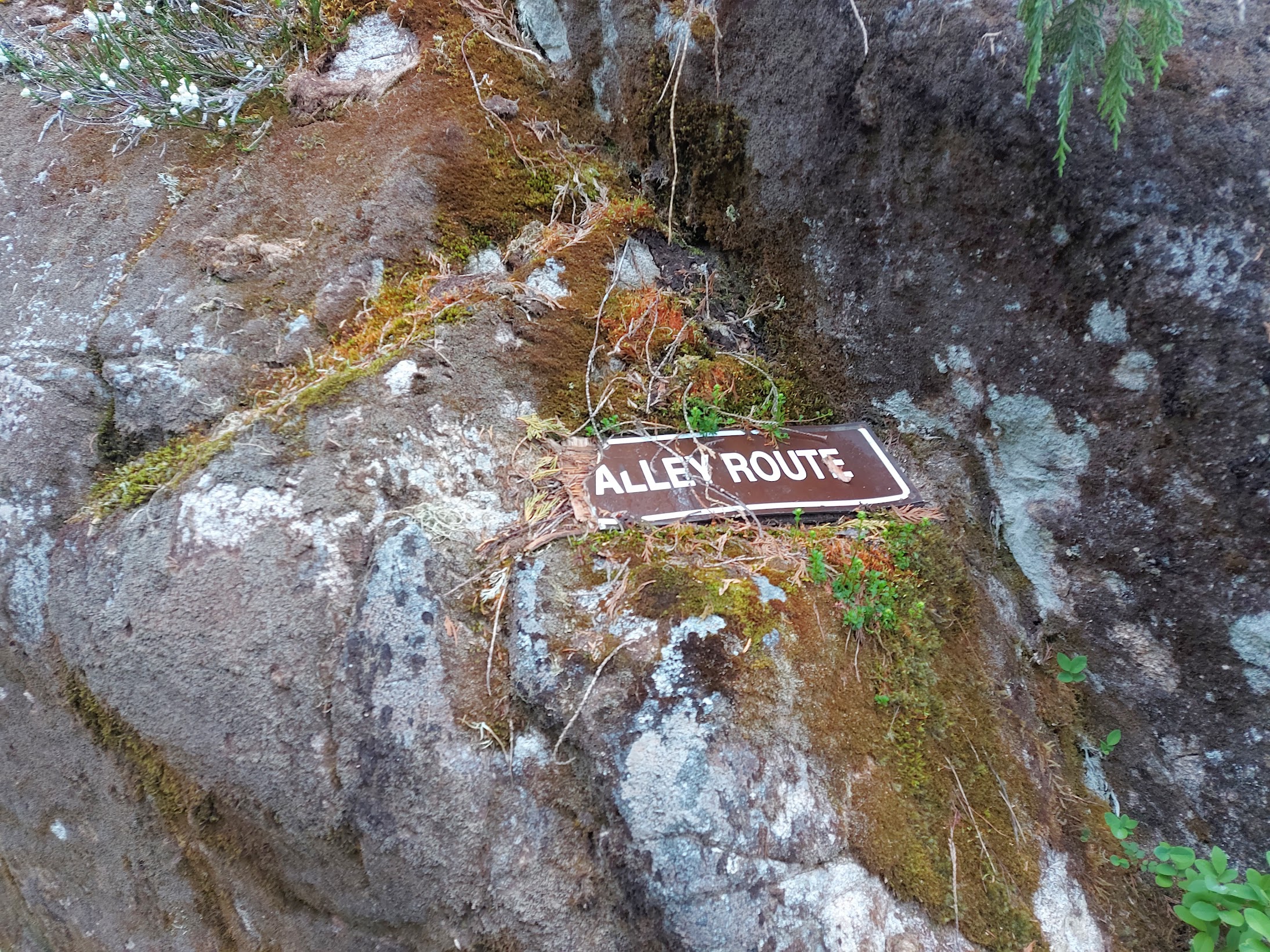
‘Alley Route’
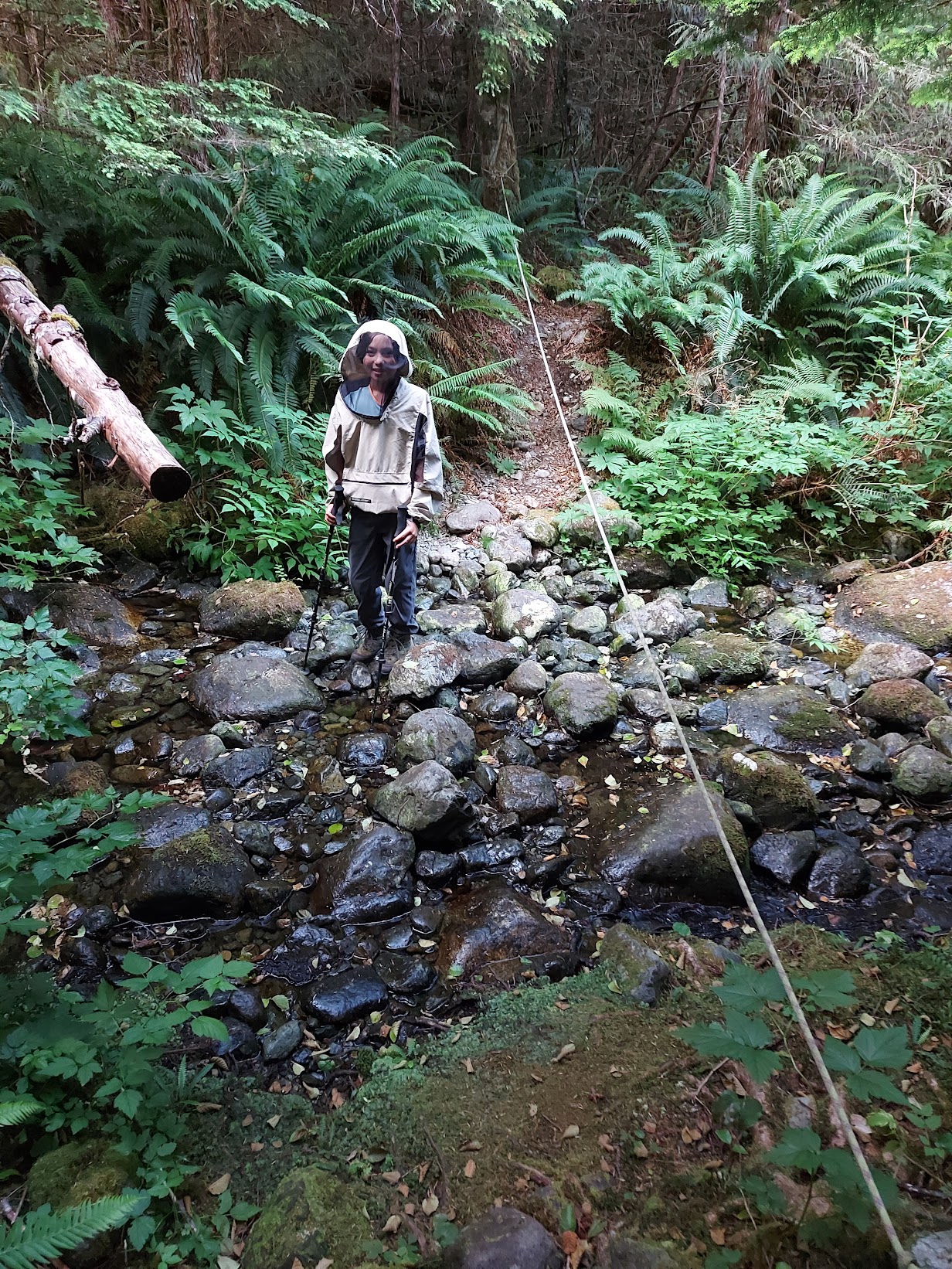
The next day the plants were very soggy due to fog. Rain pants and a rain jacket kept us dry. We checked the map and realized the waypoints were gone; this was probably because we shut off the phone to save batteries. We got to a snow slide, where we ate lunch. There were Roosevelt elk, which ran away. After eating lunch, we continued down the slide. The edge of it had a salmonberry thrash, which was pretty annoying but not as bad as the swamp thrash later on. We went along a pretty reasonable trail with a couple old logging roads to Ashwood Creek. After Ashwood Creek, the markings were pretty poor, so we lost the trail. We ate supper at Ashwood Creek. Turns out that the trail went up a valley over; the waypoints would’ve helped here. We had a thrash through a bunch of blueberry bushes. We waded across a small part of the river and decided to sleep on a shoal of the Bedwell River.

Wet Plants

Elk

Slide Path

Salmonberry Thrash
Old Logging Road

Shoal That We Slept On
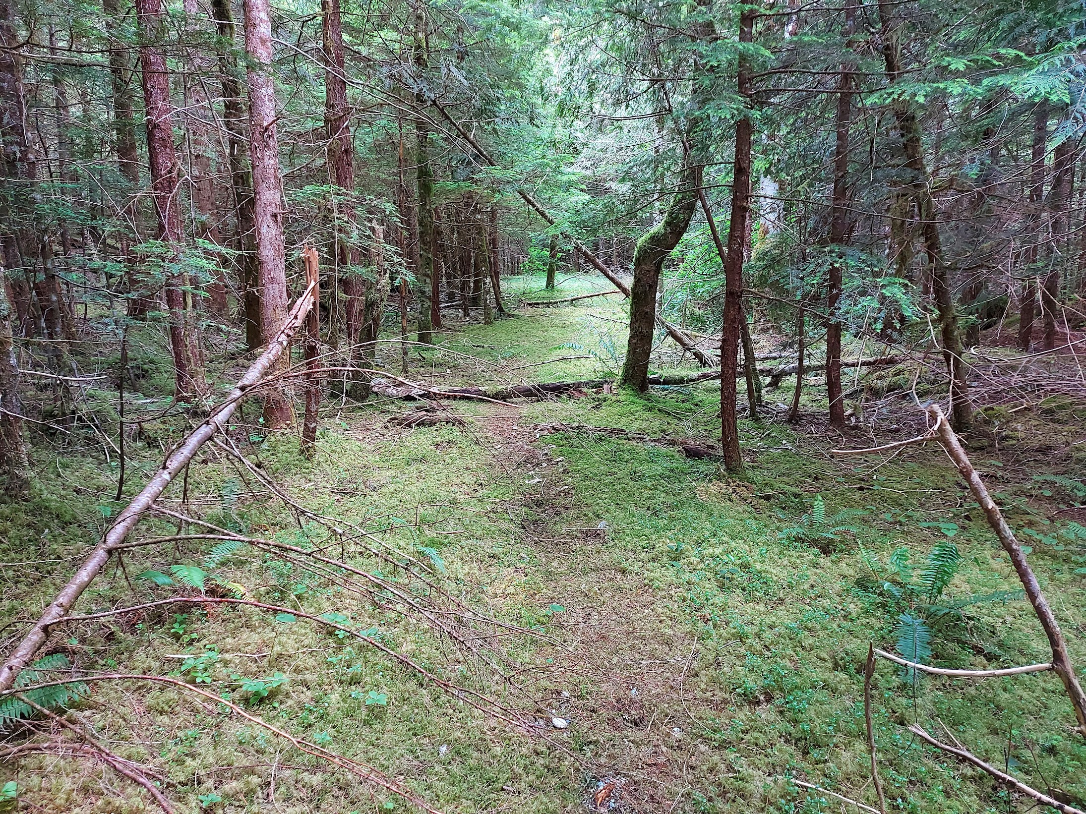
We woke up and crossed back and decided to go to the steep second-growth forest. It was full of deadfall, and it was cliffy, but it was better than the bushwhack a bit upstream. We went through the second growth for about 90 minutes before we found the trail. The trail was good, and then it went into a swamp near Blaney Creek full of 7-foot-tall bushes. The trail was impossible to follow, so we ended up breaking into the nearby coniferous woods. We went through that for around 2 hours and then reconnected with the trail. The trail went through the woods and was good. We climbed up to the 2 “lovely” ponds, which were very marshy. The trail was kind of tricky to follow, but then we found it and headed down, and the trail connected with a lot of old logging roads. After that the trail was a lot easier to walk on because the people from the dude ranch at the end of Bedwell Sound walked up there. We had supper near Bedwell Falls. It was easy to get to the Gayle McGee bridge. After crossing the bridge, we went to find a campsite. There was apparently a really good camp spot under the bridge, but it was covered up by stand-up paddleboards from the dude ranch. The camp spot we found was full of bugs and was pretty slanted.

Second Growth

Old Logging Equipment

Bedwell River

Lovely Pond

Old Logging

Fallen Log Bridge

Bedwell Falls
Very Necessary Handline Near the Dude Ranch

Gayle McGee Memorial Bridge

Broken Plank on Bridge

Gayle McGee Memorial
We woke up and headed down the logging road, which had some bike paths. The first staff member from the dude ranch asked if we did the Bedwell Centennial Trail. He said congratulations and was impressed that we made it. Someone drove by us, telling us that we wouldn’t make it to the Bedwell Lakes and then was surprised when we told them that we already made it. We got to the dude ranch, which had tents with queen-size beds, fireplaces, a piano, a pool table and a doggo (the doggo is the most important). We ran into the manager and a staff member who were waiting for us on the road where the doggo was. They told us no one has made it across since 2019. We got to the dock where the float plane would pick us up. We met a few people who came back from Tofino. We went swimming to wash off. The water was cold, so I only stayed in for 30 seconds, but my dad stayed in for a while. The float plane arrived, and one of the boat drivers from the dude ranch moved two boats around the dock for us. We went on the float plane back to Campbell River. The float plane had good views. We went back to my grandparents’ for a few hours, where we had supper.

Field at the Dude Ranch

Sasquatch Trail
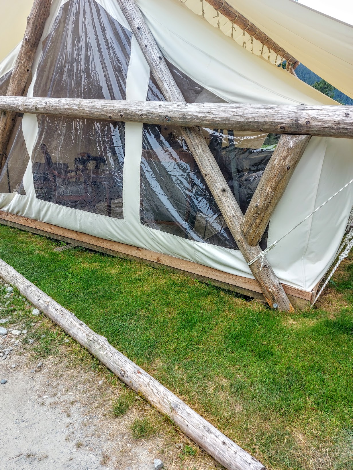
Tent with a Pool Table and Some Couches

Touching the Bedwell Sound

My Dad Swimming

Hanging Off Dock Bridge

Float Plane Landing

Float Plane Coming into Dock

Float Plane Controls

Me In Float Plane

Bedwell Lake from the Float Plane

Westmin Gold Mine
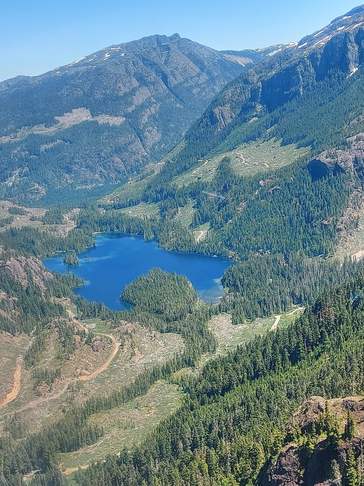
A Lake

Mt. Washington

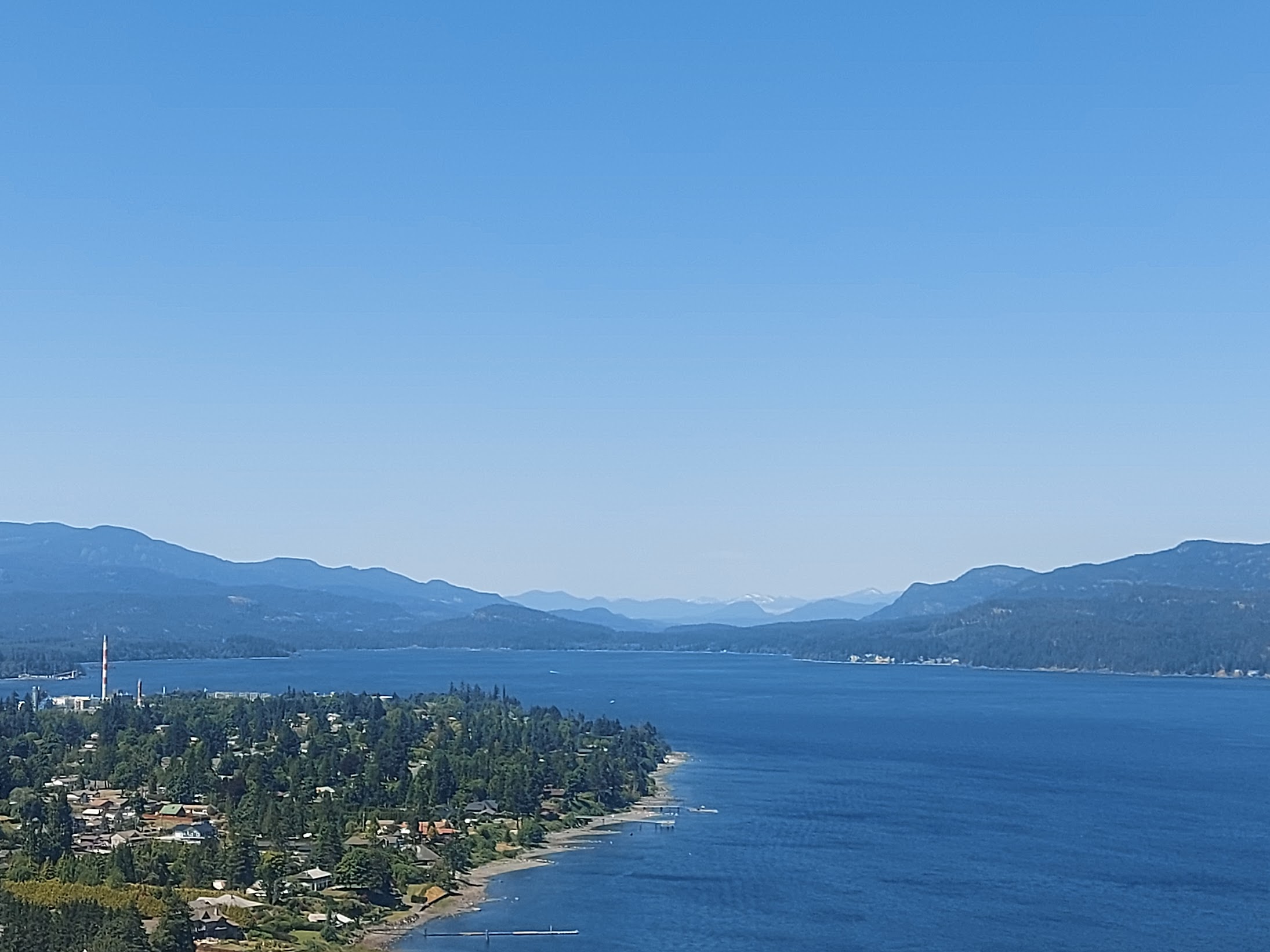
Campbell River Airport

Campbell River Neighbourhood
The Discovery Channel
My dad thought that the people from the dude ranch wouldn’t like us because the Comox District Mountaineering Club protested against the dude ranch’s plans of bulldozing a horse path up the Bedwell River. Turns out they were super nice and stoked that we made it. I don’t think they should be able to bulldoze the horse path that they wanted to make because it’s bad for the environment.
If you do this trail I would only do it once. It was interesting but would be kind of pointless to do a second time.
Nice trip report! But I was disappointed not to see you guys on skis
Wow, you guys got to ride a float plane. That’s way cool!
Oooh, I’ve always wanted to do this trip. Looks like a neat route.
Awesome trip Devlin!