Flavia Caprez, Alex Barth, Ivan Fediaev, and myself (Erik Reimers)
After spending a couple weeks pouring over route descriptions, trip reports, forecasts, and Copernicus/Sentinel Hub satellite imagery, Flavia and I decided to start off our “June adventure week” on skis (Woo!!). In particular, we were eyeing up somewhere in the Nch’kay (Garibaldi)/Mamquam area. Out of incredible luck, Alex and Ivan were looking at checking out Nch’kay (Mount Garibaldi) themselves and were even driving from Vancouver. Tagging along with them, Alex drove everyone up the Cat Lake branch of the Cheekeye Forest Service Road (FSR) where we camped for the night at the snowline (1300m).
Although not the traditional start/end of the Neve Traverse, this access point brings you up to Brohm Ridge (one of the western arms of the Nch’kay massif) as an alternative to the Garibaldi Lake start/end. During most of the year, this ridge is a zoo of snowmobiles or dirt bikes. But, if you time it just right (too little snow for snowmobiles to bother and too much snow for dirt bikes to bother), you can enjoy the expansive, tranquil scenery all to yourself. This was precisely the case on this June morning as we packed up camp and peacefully skinned up the remainder of the FSR to gain the ridge. While Alex and Ivan were there to check out the Nch’kay summit, for Flavia and myself, our plan was to continue around Nch’kay heading southbound across the expansive glaciers that make up the mega-classic Garibaldi Neve Traverse.
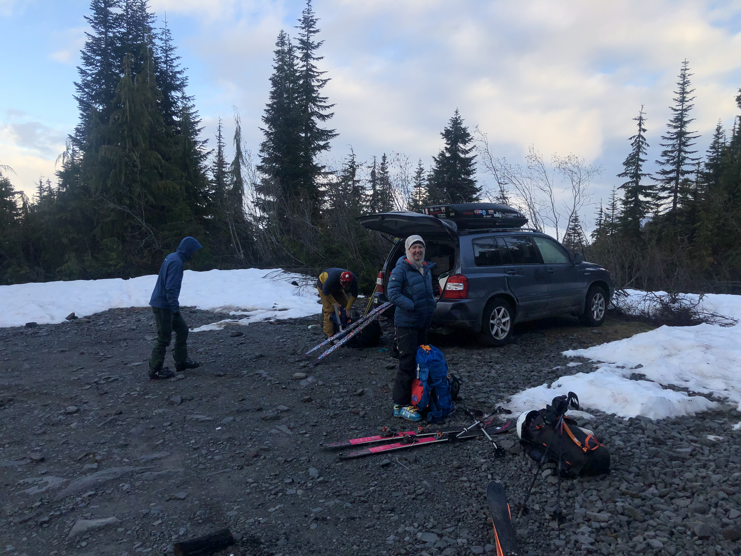
Morning excitement as we get ready to head out after camping beside the car.
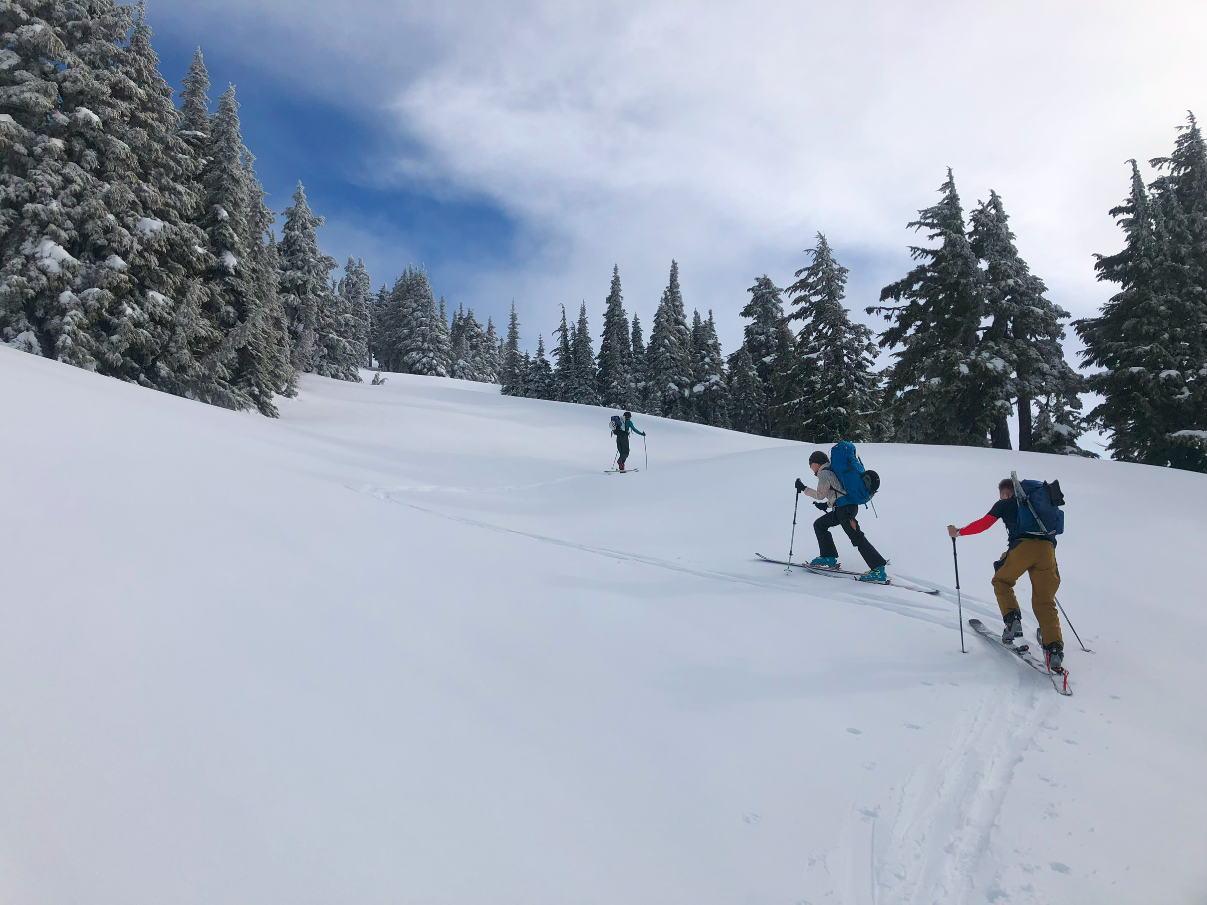
Heading up to Brohm Ridge, a dusting of fresh snow on the trees confirms we made the right decision to go skiing in June despite many of my non-skier friends gawking at the thought of it.
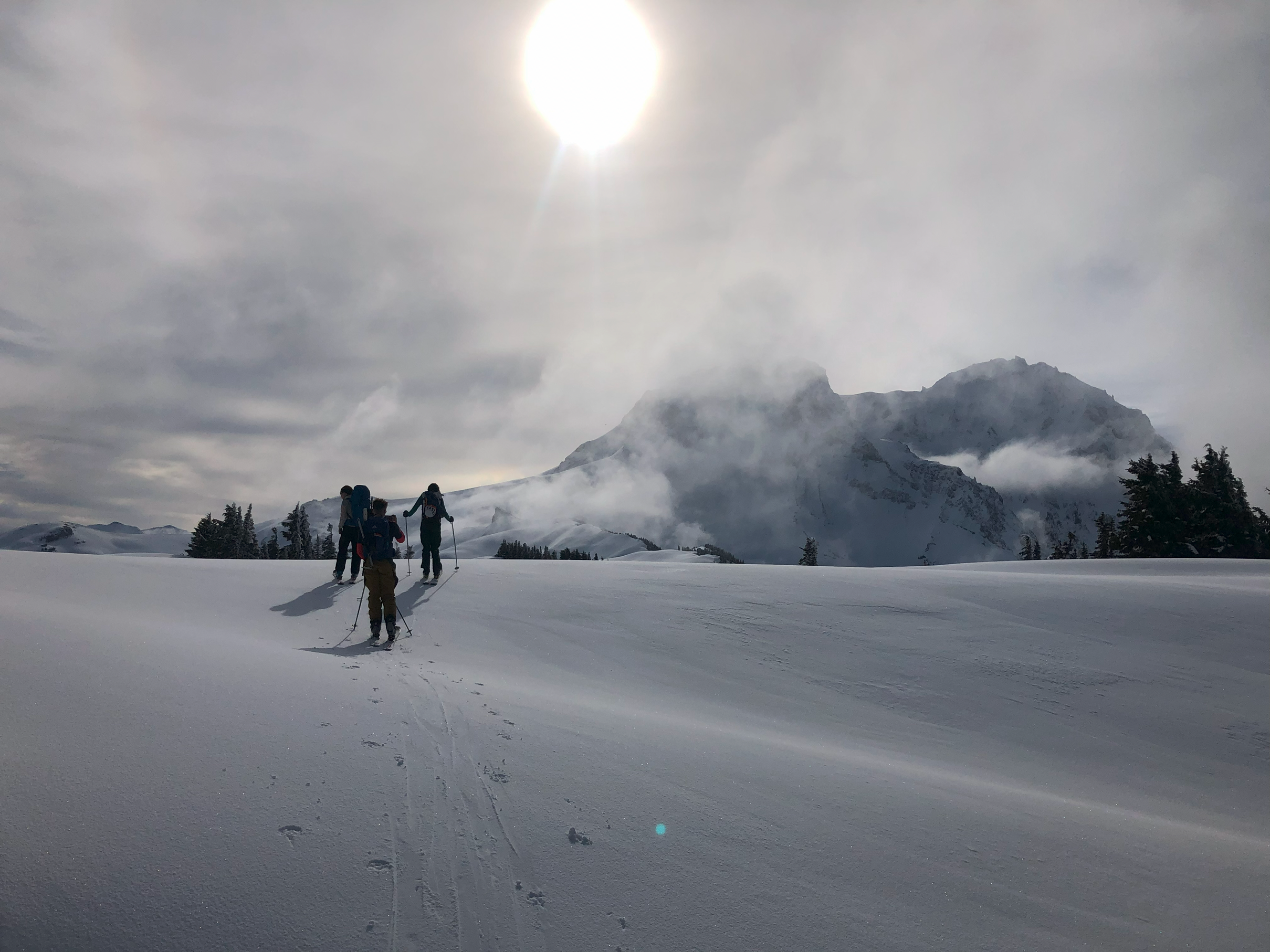
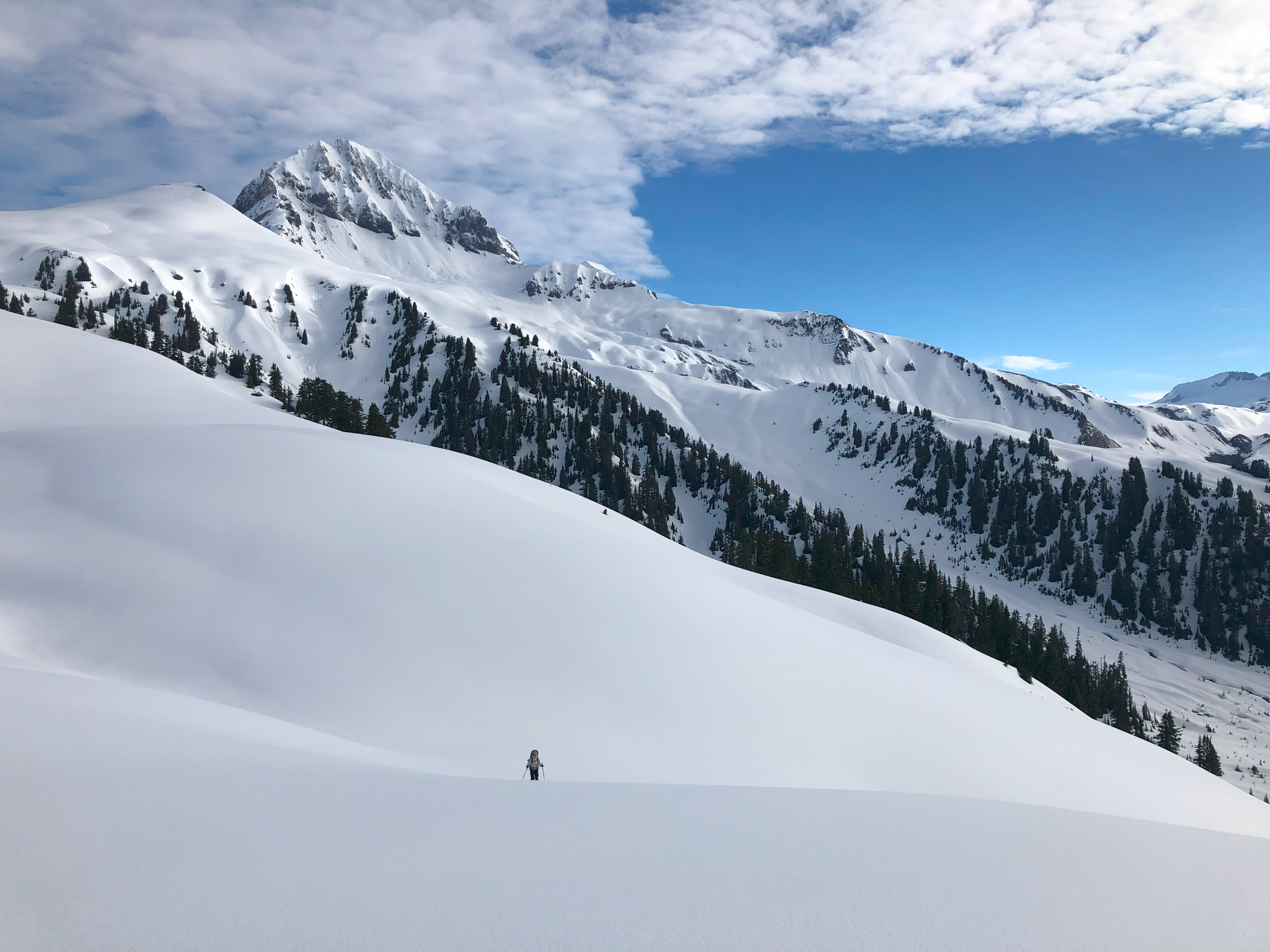
The weather clears to give us our first views looking east towards the Nch’kay massif with Atwell Peak on the right and Dalton Dome and Nch’kay teasing us from behind the clouds.
Although generally straightforward, we did have some faff making our way through the rolling terrain (as large ridges generally are) of Brohm Ridge with lost and gained elevation and some fairly spicy steep and icy side-hilling. As the sun moved in and out of the fast-moving clouds we continued along the ridge and onto the Warren Glacier. I had stood at this exact spot 5 years previous on a solo backpacking/bushwacking trip and had (rightfully so) not dared to step foot on this glacier. Back then it had felt like even making eye contact with the massive bottomless crevasses would cause them to reach out and swallow me for dinner. Now, effortlessly crossing the glacier with a trusted team, I felt very fortunate and privileged for all the mountaineering experience (and gear; lots and lots of gear) I had gained (and bought) since then, allowing us to safely travel deeper into this spectacular landscape.
Travelling along Brohm Ridge towards Nch’kay with Alex way down below. For most of the year, this spot is full of motorised activities but on this day, we were the only people as far as the eye could see with no previous tracks anywhere in sight.

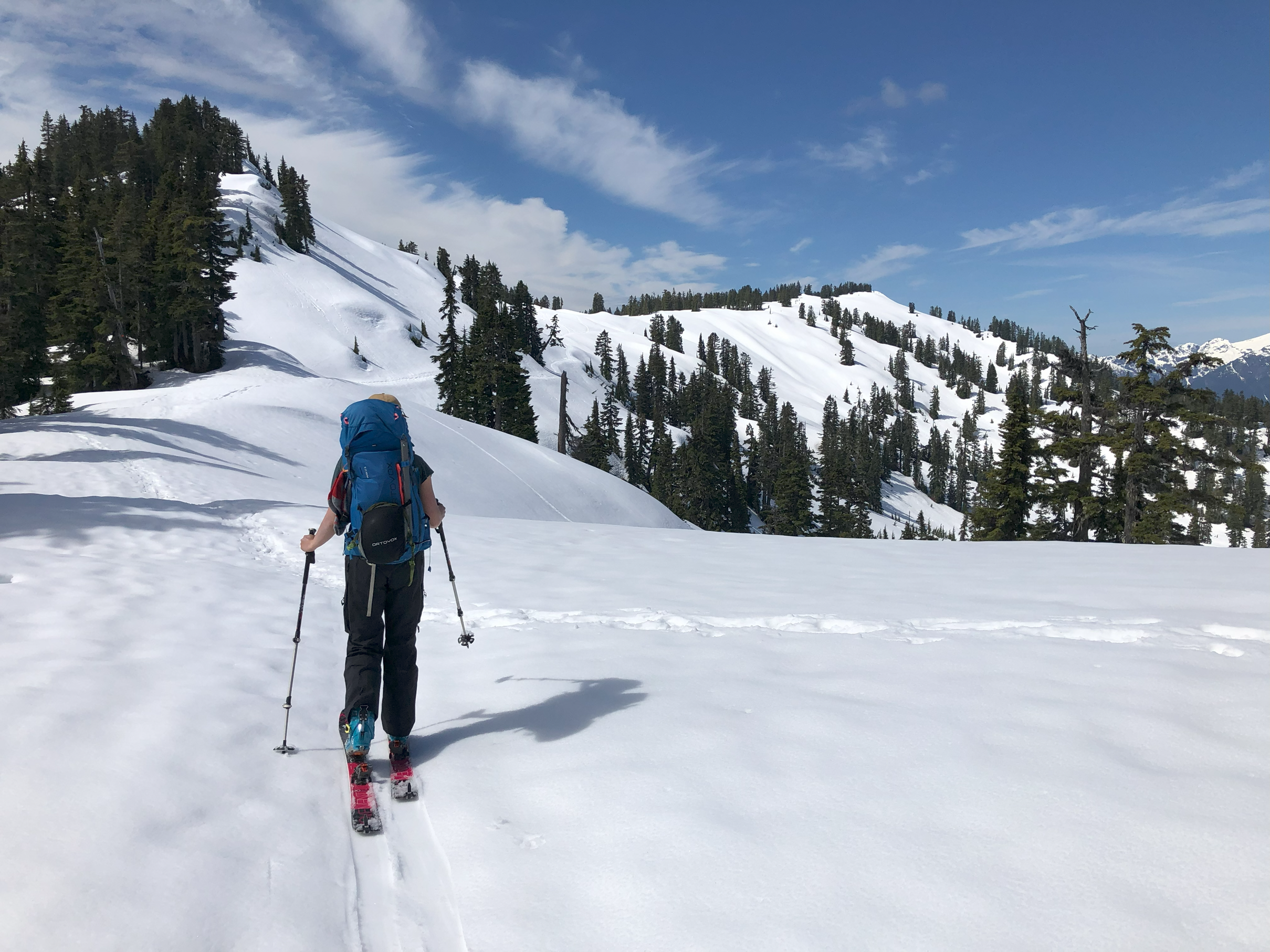
Looking back west along the rolling ridge with Flavia climbing the final stretch onto the Warren Glacier.
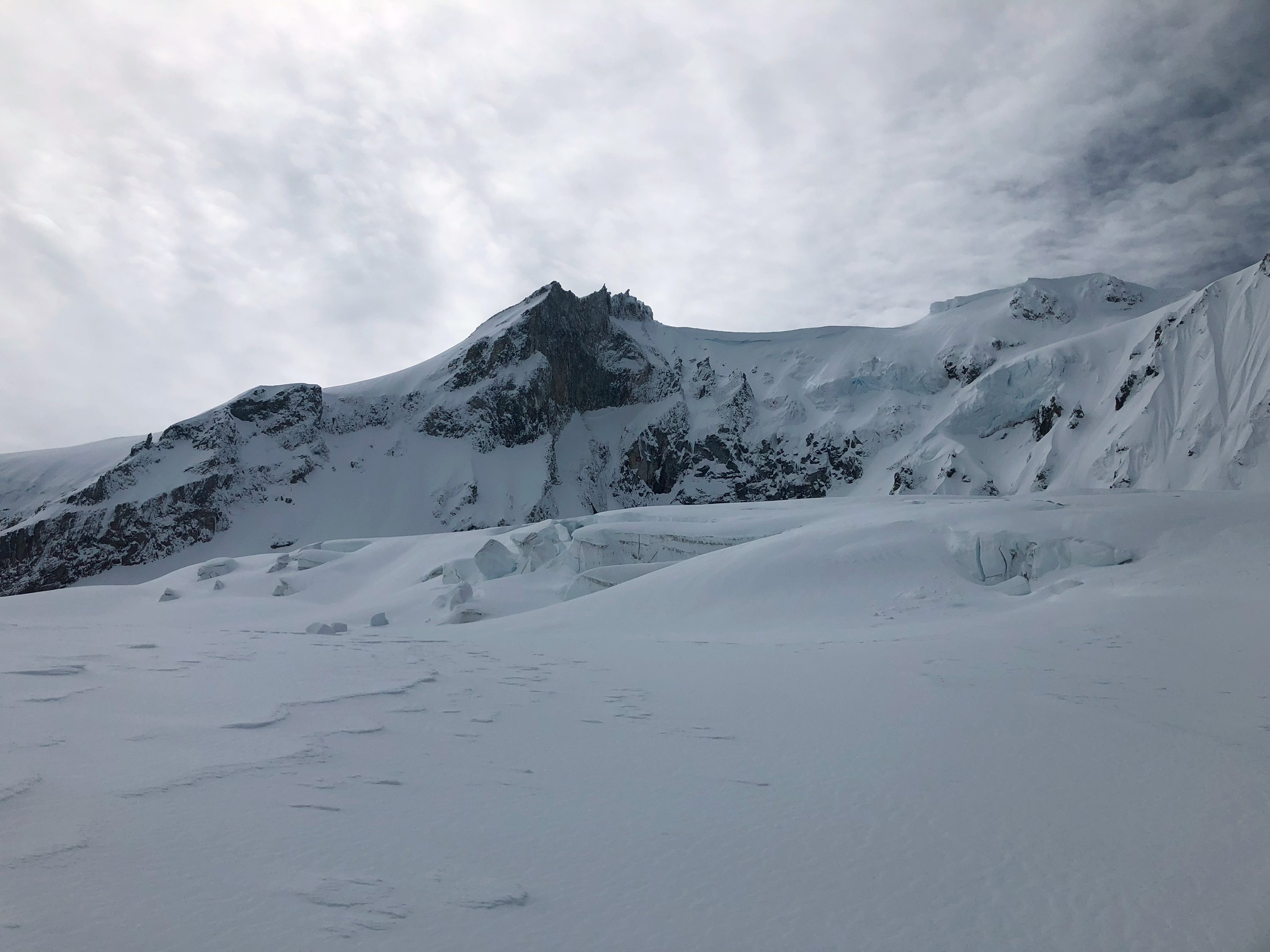
Travelling across the Warren Glacier looking south up at the striking (but terrifying) ice-fall coming off Nch’kay (left) and Dalton Dome (right).
Heading east across the Warren Glacier and wrapping around Nch’kay, we made our way up the north-eastern slopes of the mountain. It was here that the weather began to turn, with the summit of the mountain completely socked in with whiteout. Confident we were in a good spot to avoid any potential overhead hazard, we ate our food and waited around to see if the weather would improve. Unfortunately, the clouds did not clear and eventually it began to feel too late in the day to warrant waiting further. Flavia and I said our goodbyes to Alex and Ivan and made a magnificent ski descent in excellent June snow conditions off the side of the mountain over to the North and then South Pitt Glaciers. Some 75 km downstream, these glaciers supply the water for Pitt Lake beside my childhood hometown of Maple Ridge. Travelling through exciting terrain while gaining a better understanding how the different environments all connect is perhaps my favourite aspect of hiking/skiing/mountaineering.
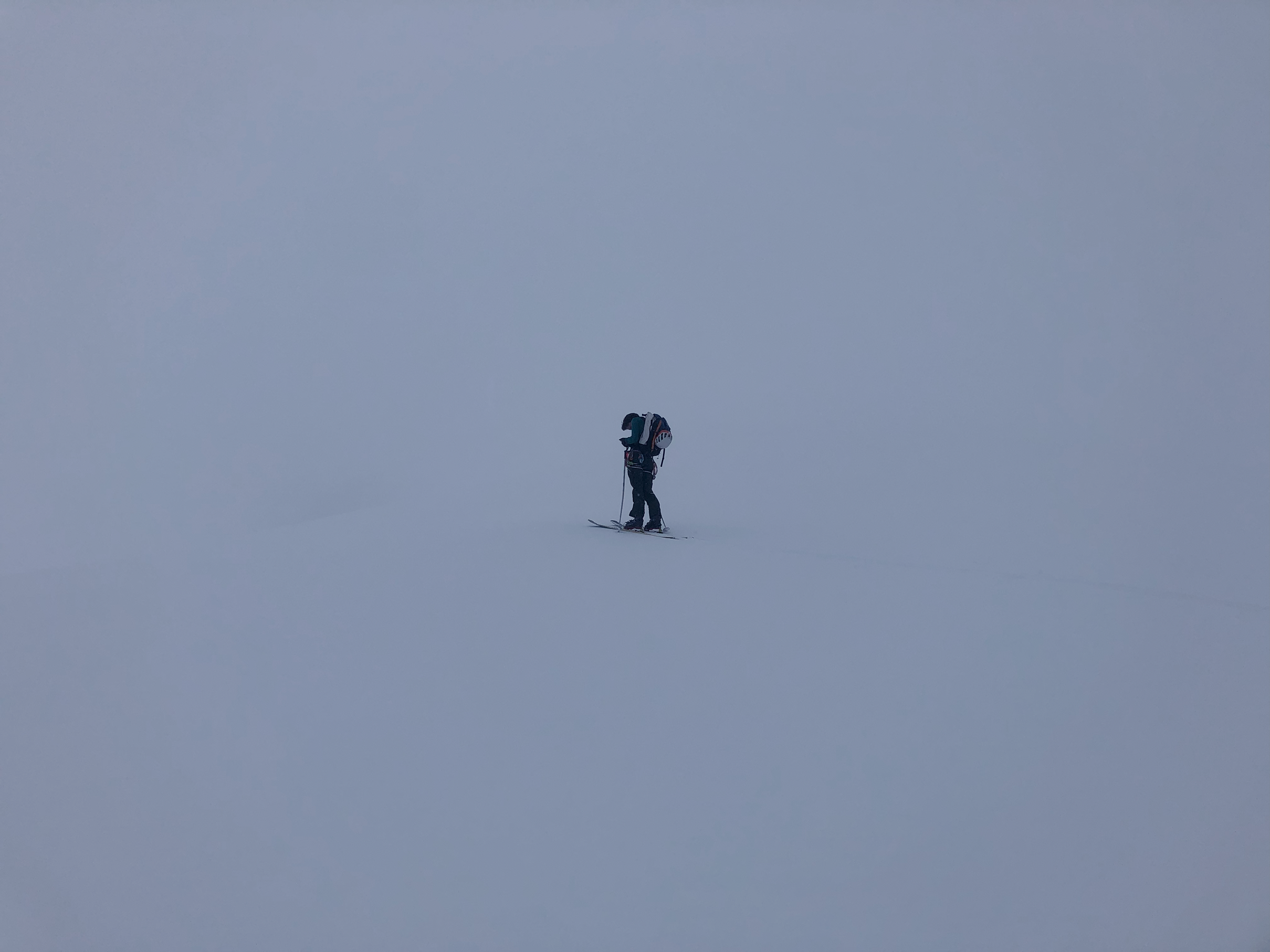
Alex, currently socked in by clouds part way up Nch’kay, checking his maps to help decide on our next moves.

Flavia, about to take off skiing down a lovely 500m descent after saying our goodbyes to Alex and Ivan.

Looking back up at Nch’kay hiding away in the clouds after our ski descent. Alex and Ivan appear as two tiny dots still up on the face.

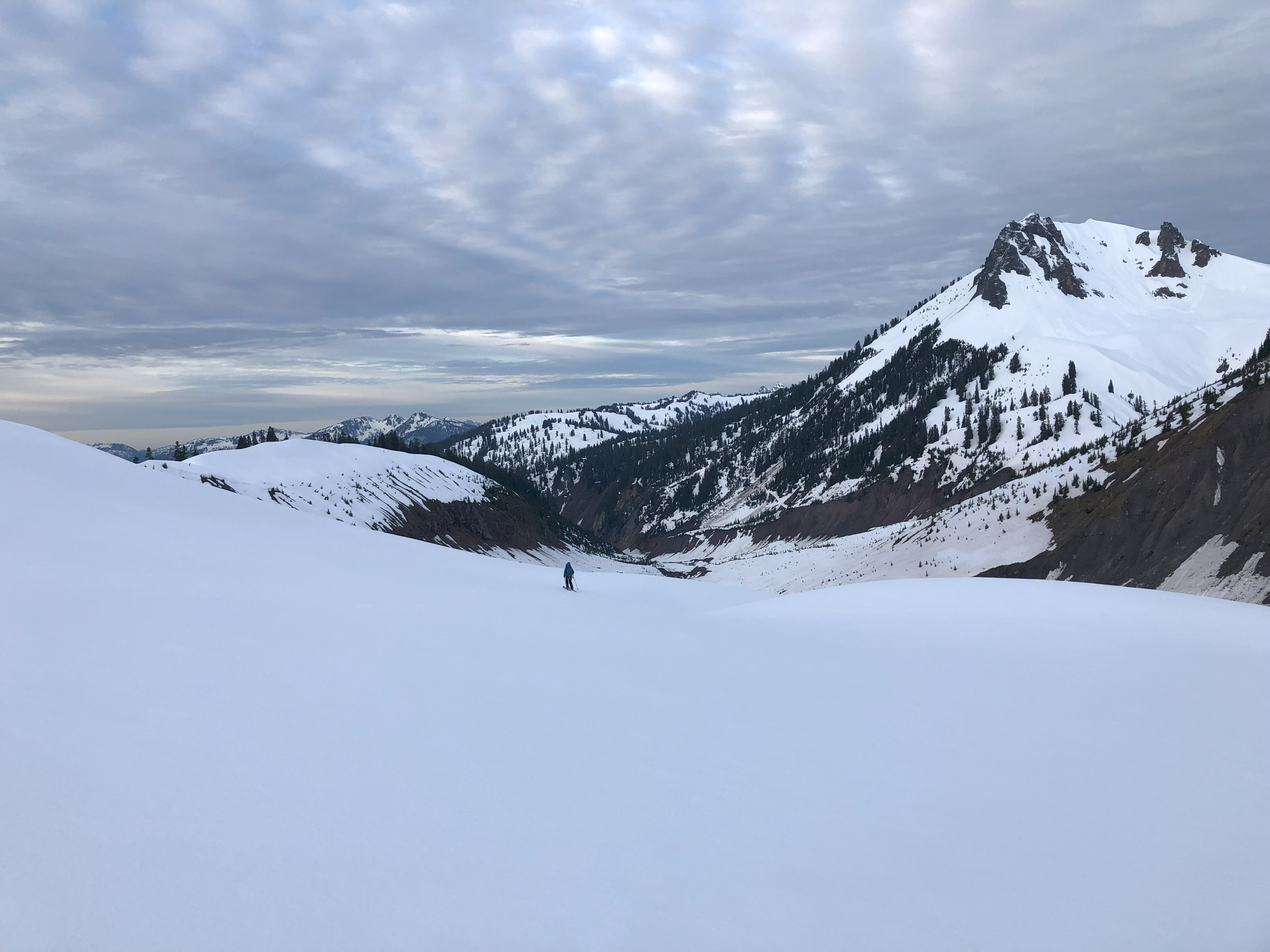
Flavia continuing down onto the wide sweeping North Pitt Glacier.
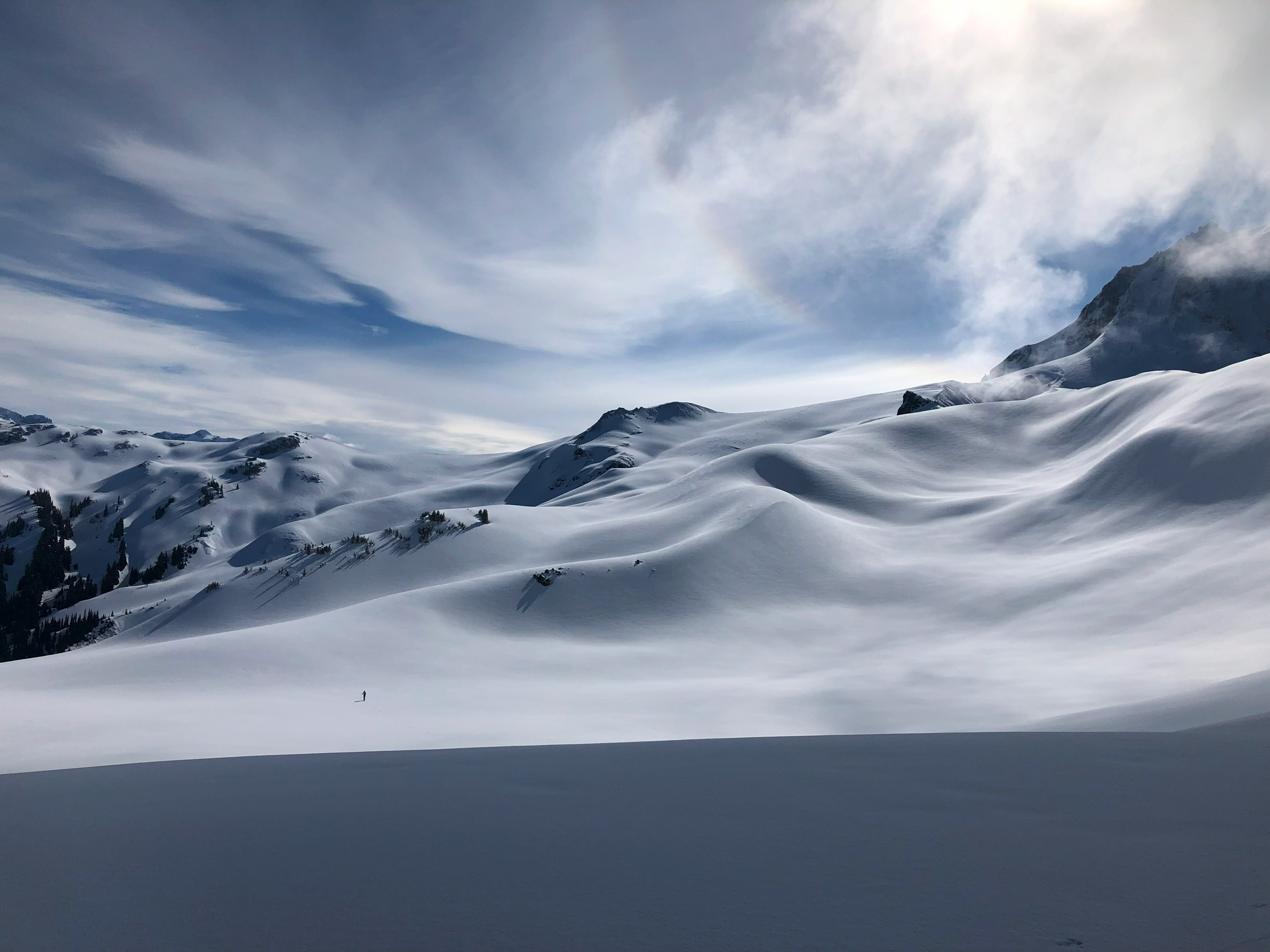
After some time navigating south across the Pitt Glaciers and Bishop Glacier, we arrived on the Lava Glacier, due east of the Nch’kay massif. With the clouds clearing, we had clear views of Atwell Peak, Dalton Dome, and Nch’kay which make up the massif. Flavia and I got to work with the various chores of building a kitchen, sleeping area, and melting snow for water. To my surprise and horror, back in Vancouver, Flavia had asked me, “which backpacking meal would you like to bring?”. But I had instead misheard her say, “which backpacking meal would you like to leave behind?”. Realising that the mouth-watering pasta I had been thinking about all day was instead Ukrainian borscht, Flavia described my face as that of a 5-year-old who had just found out Santa Claus isn’t real. Despite this, the borscht was actually quite tasty and we got cozy for bed at the wild party-animal (still completely light out) hour of 7pm.

Flavia showing her excitement that camp is all set up and the sun is shining with the epic east face of the Nch’kay massif behind her. All that’s left to do is eat some Ukrainian borscht.
Waking up at 5am to potentially the best sunrise I’ve ever experienced, we got going quickly to beat the expected heat later in the day. Although we considered spending another day exploring the area, we decided to continue on as (1) we were also stoked to get some Squamish rock climbing in, and (2) we had no idea how we were going to get back to civilization at the other end of our route. Travelling south around Opal Cone and crossing Ring Creek we made the non-standard route choice to traverse up and over the Gargoyles-Columnar col rather than the less appealing slide paths above the creek which were mostly chossy rubble this late in the ski season.

Flavia packing up our camp with the sunrise over Viking Ridge. Potentially the best photograph I’ve ever taken. Truly a breathtaking moment.

A cold morning crossing the mellow flats of Lava Glacier. Stoke is mega high.
Dropping down off one of the toes of the glacier into the Ring Creek drainage. As our next move, we decided to climb up and over The Gargoyles (right).
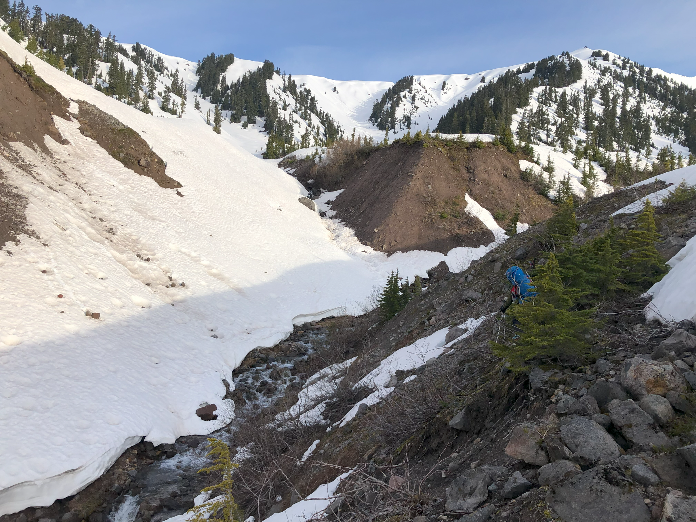
Hiking down some loose rubble to cross a tributary of Ring Creek and get back onto snow.
After a pleasant climb, we reached the Gargoyles/Columnar col where we could see the ever-popular Elfin Lakes shelters (as well as views over Squamish, down Howe Sound, and across to the Tantalus Range). We also ran into the first people of the trip which included one fellow who was heading up to the Gargoyles summit on foot, post-holing to his thighs with every step. With a perfectly timed corn-snow descent off the col, we followed his extremely obvious footsteps all the way along Paul Ridge for over 10 km and were impressed by his exceptional perseverance trudging through the snow.
Climbing out of the Ring Creek Drainage with Atwell Peak’s wild and gnarly southeast face to our north.

Flavia skinning up the still firm, sun-hidden northwest-facing slopes of The Gargoyles. While the southeast slopes made for a perfectly sun-softened, “corn-skiing” descent.
Easy travel along Paul Ridge back to civilization in beautiful summer weather.
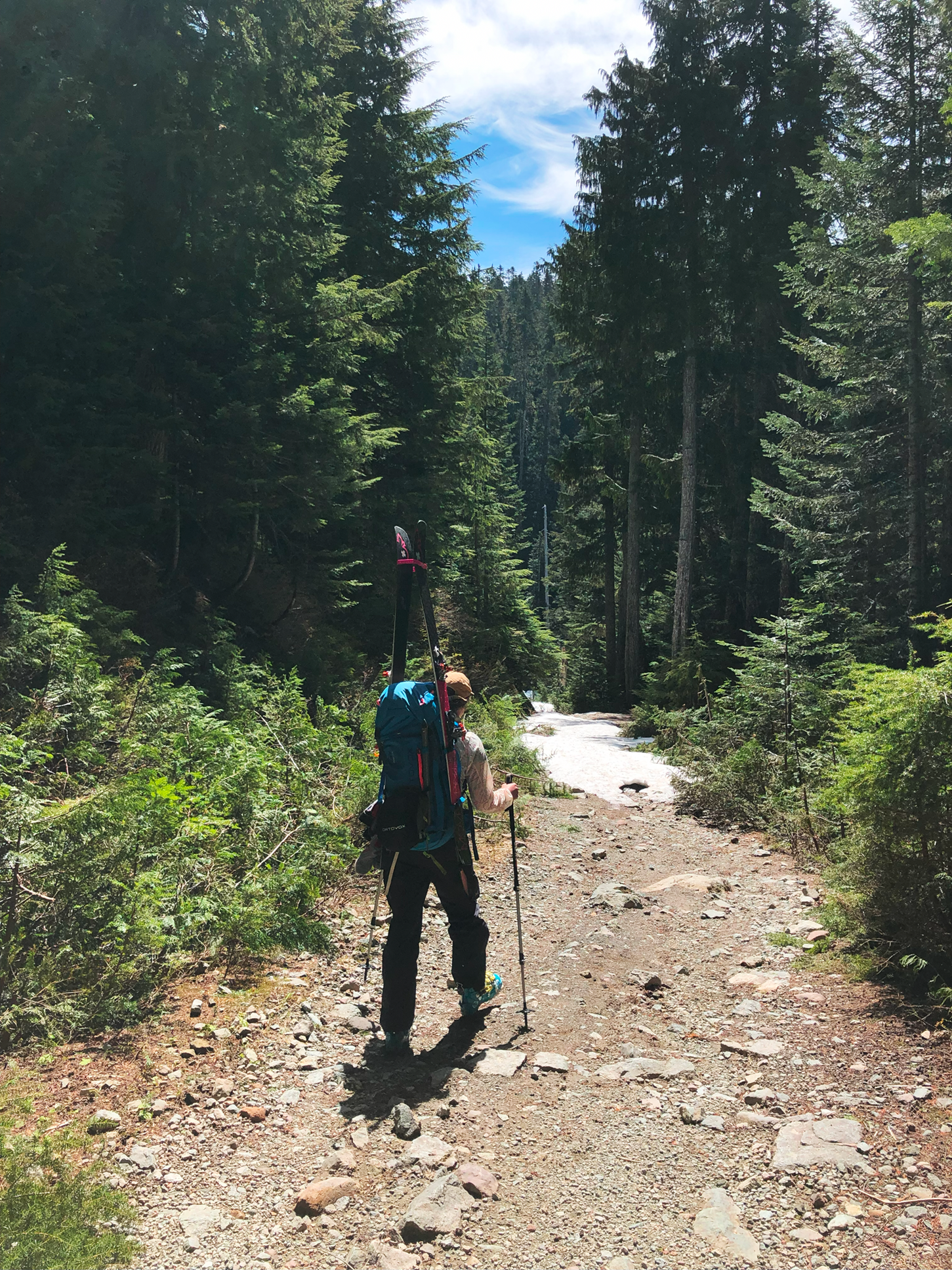
Skiing down the Red Heather/Diamond Head/Elfin Lakes trail, we eventually ran out of snow to ski on and hiked out the last 3 km on foot to reach the trailhead. Hanging out at the trailhead, we ate our extra food and agreed we would be willing to wait there for up to 3 hours for a potential hitch-hike before giving up and embarking on the long 15 km road-walk into town. After getting a hard “no” from two snowshoers who were our main hope, we thought to text Alex once again and see if he was free and willing to come pick us up in exchange for a case of beer. As the absolute hero of the trip, Alex immediately responded saying he could be there in 30 minutes. Making it back in no time to the always friendly Mamquam Campground, Flavia and I spent the next three days rock climbing and swimming in the Mamquam River to finish off our massively successful “June adventure week”.
Overall: If you can figure out the car shuttle (or have an amazing friend named Alex), I would totally recommend a late season Brohm Ridge Neve Traverse. Great weather windows with long days, fast travel on a predictable snowpack, and lightweight backpacks (we used summer quilts and an ultralight tarp).
Hiking down the last portion of trail, leaving behind the snowy wonderland that we were grateful to experience and travel through.

A heavy contender for the best view of the entire trip: Alex driving up to come to our rescue. Truly our knight in shining armour. We owe him big time.

Spending the rest of the week experiencing Squamish’s “vertical world” of The Chief and Smoke Bluffs.