There’s a special mountain nearer than Squamish that I have been obsessed with for nearly a year now, ever since Birgit, Richard, Cassandra, and I spent an unforgettable evening last August staring across the glacier at it as the sun set. The next morning we rushed past it without even attempting the peak. It sits above what is reputedly the nearest glacier to Vancouver, it offers unexpected nighttime views of the city, it is surrounded by everybody’s favourite mountains—Garibaldi, the Tantalus, the Lions, Mamquam, Judge Howay—and the summit block is monumental. Apparently Birgit is equally obsessed, because without much discussion it was clear where we’d be going during my next time off from work.

Picture from last year’s traverse.
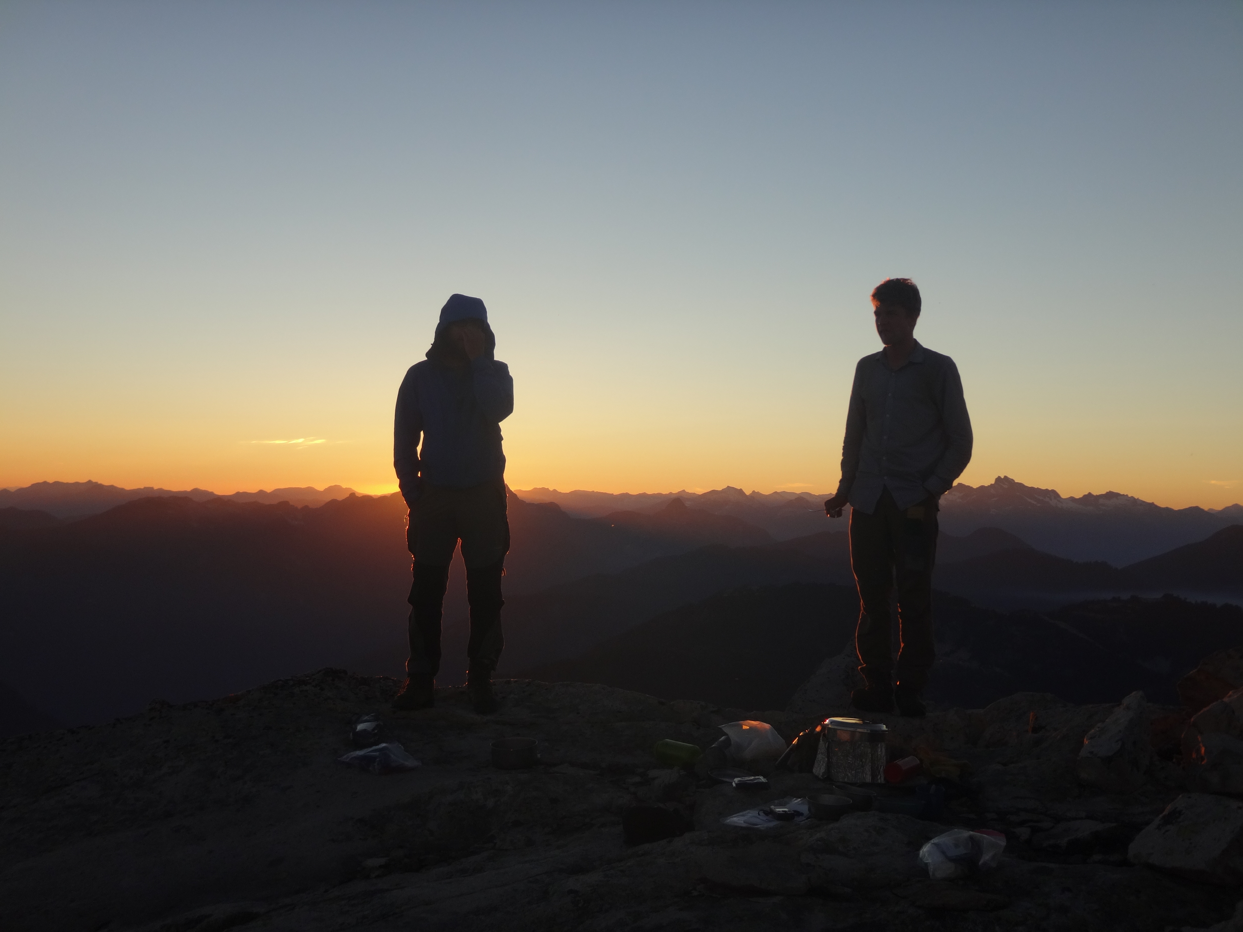
Camp silhouette from last year’s traverse. Picture by Cassandra Elphinstone.
We left late, as usual. The logging road travels southeast from Squamish for 1-1.5 hours each way, bumpity bump, crossing three or so big washouts (more like creeks) and a somewhat sketchy collapsed bridge, before we were forced to stop around 11 AM by what can only be described as a large hole in the road. Along the way we met a dad and two kids on an ATV with trailer, who thought they were heading to Norton Lake. It hurt to tell them that Norton Lake was nearly 20 km back and then another 10 or 20 km down an entirely different road…
The hike is about 30 km round trip according to the GPS track on Steven Song’s blog, but most of that is bushwhack. The first ~1.5 hrs is road in the loosest sense of the word. It is now so overgrown that we were forced to crawl multiple short sections on our bellies. Judging by the scat, the current route is largely maintained by bears. We imagined the bears returning and wondering why these stupid humans rearranged their branches so inconveniently. Judging by the distance sign, which was in miles, the road is definitely older than us.
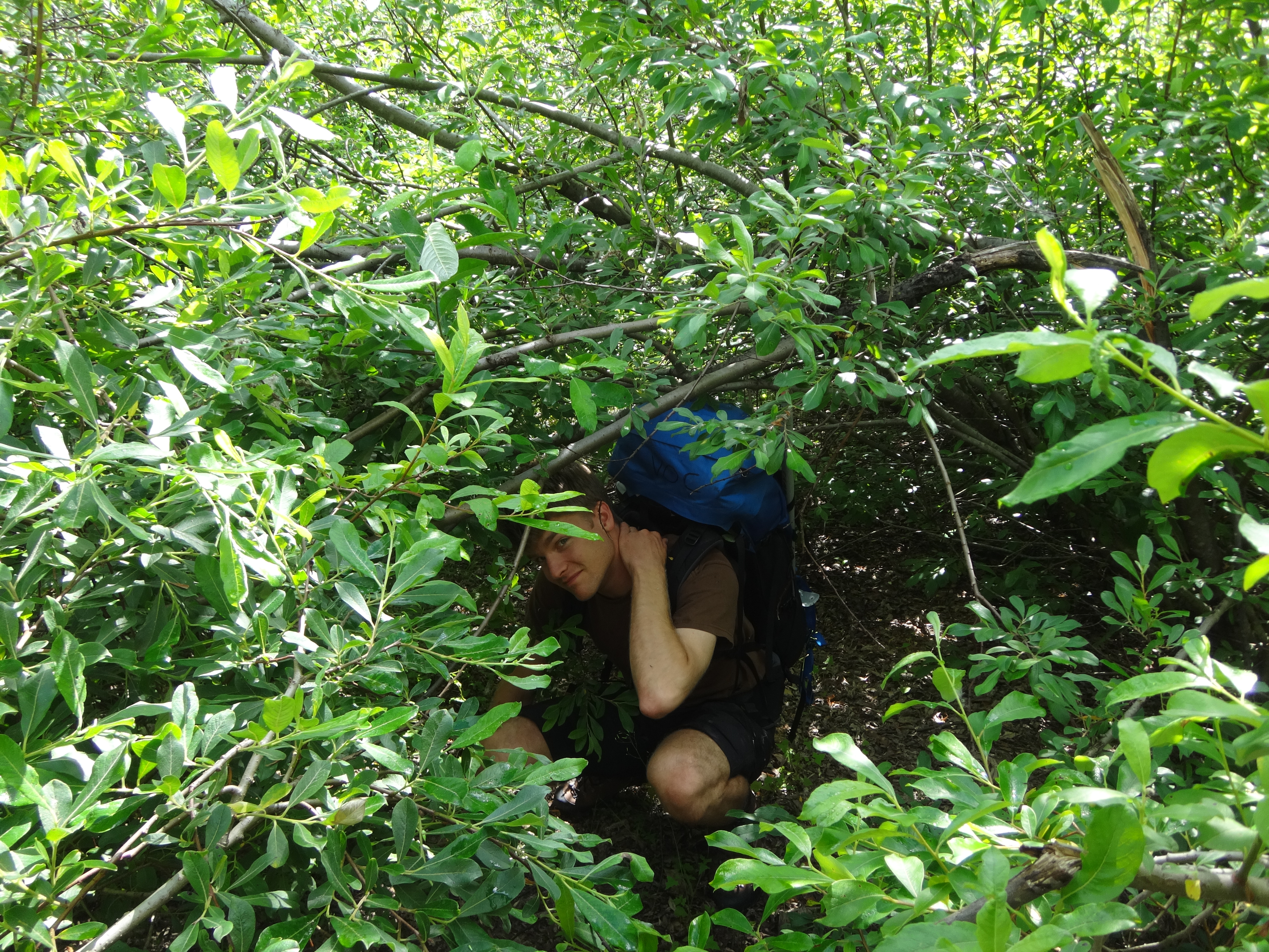
The “road”
Just before the last cutblock we left the road, traded alder for blueberry bushes (plus tons of edible boletes!!), and started bushwhacking uphill through a cliff band and then up a steep stream to a low heathery col. We weren’t being too careful with the route (hubris), and Pinecone Burke Provincial Park smacked us around a bit in the special way it tends to do. We wandered off vaguely in the direction we expected to find the lake we were aiming for and found, instead, steep creek gullies, thick bush, and cliffs on all sides (Richard, Cassandra: does this sound familiar?!). After a couple hours of this thrashing our rudimentary GPS made it clear that large cliffs separated us from our intended route. We made a lucky guess towards an alternate route, slithered down a few ledges, bush-rappelled down a crumbly avalanche slope to the lake, and swam to remove all the acquired foliage.
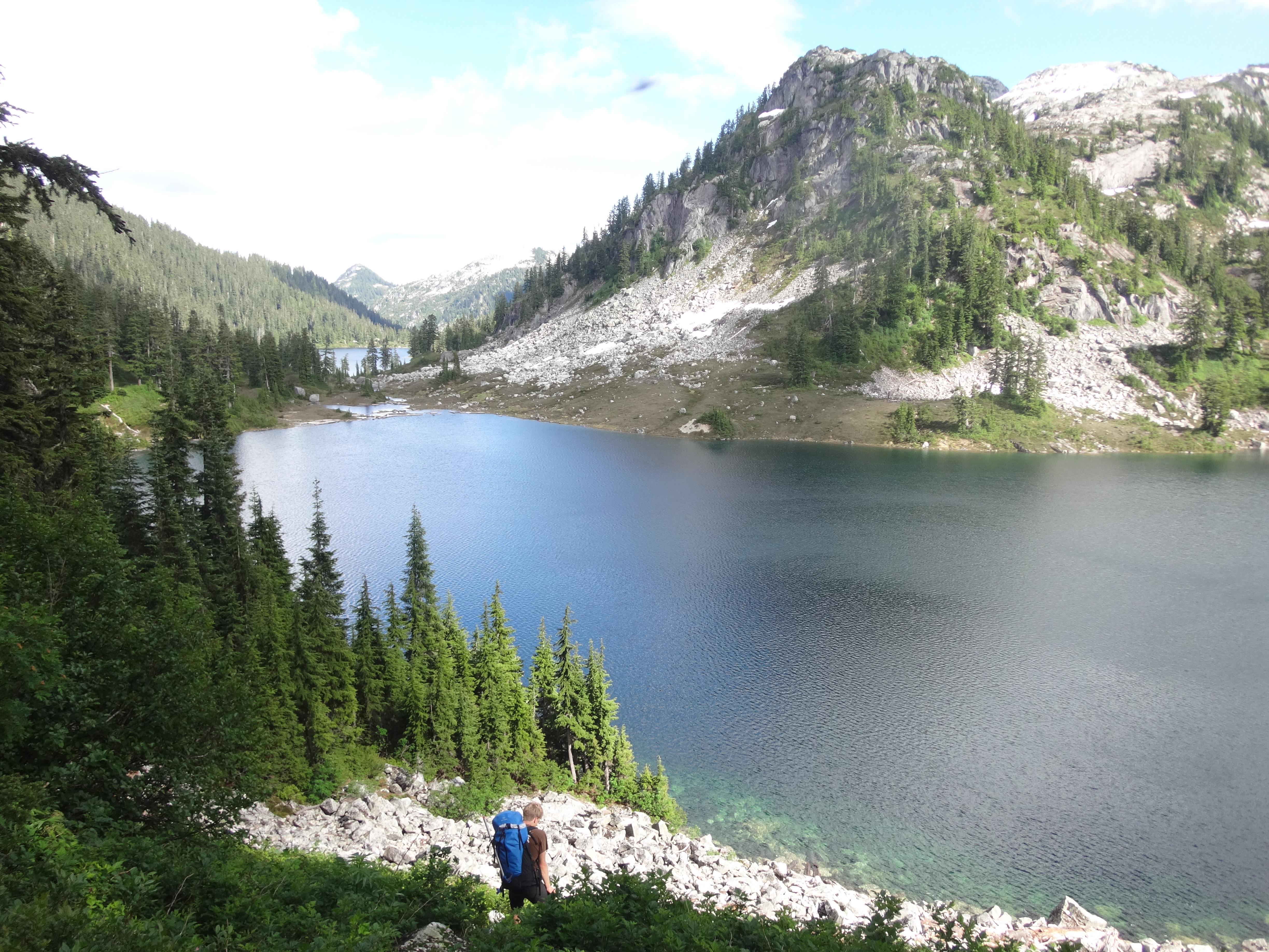
Descending from the foliage to anonymous lake.
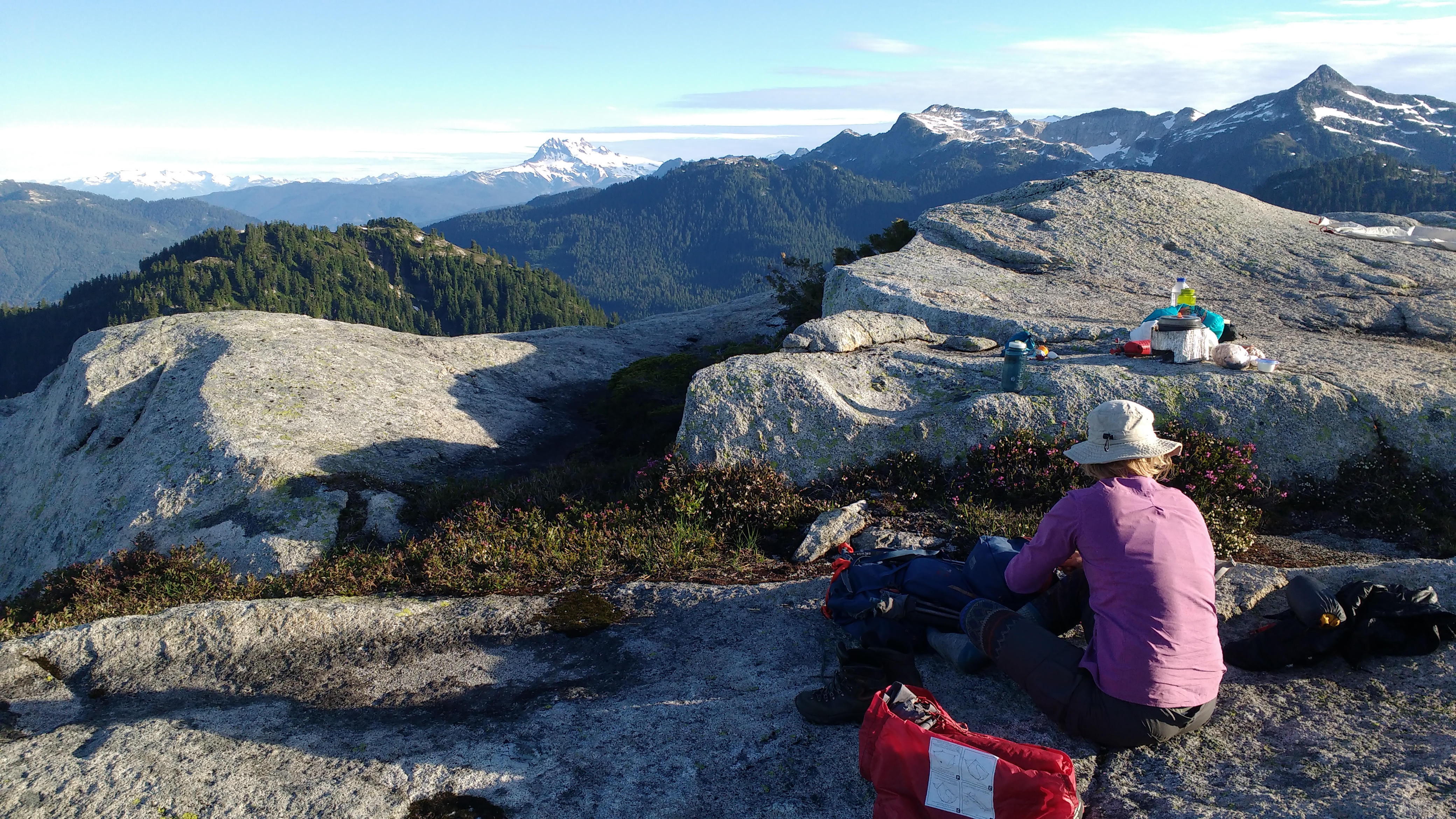
That evening, we camped on top of a nearby ridge on flat granite slabs separated by little tarns, with lovely views of everything—but it had taken 7 hrs to get there and we weren’t sure we’d have enough time to make it to the summit and back to the car the next day.
Campsite on the ridge.
Mt. Garibaldi and Gillespie in the background from camp.
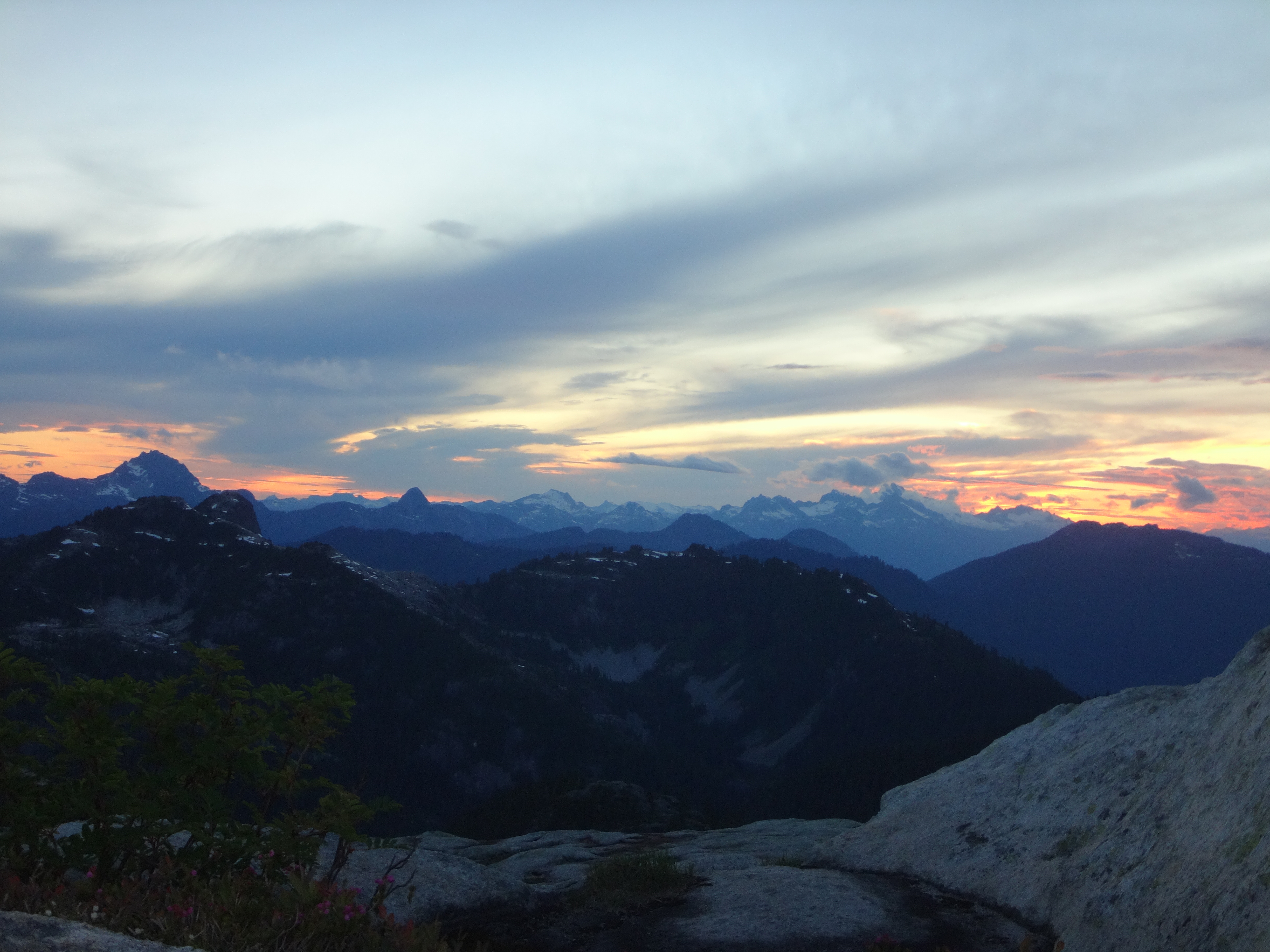
Sunset over Sky Pilot, Habrich, and the Tantalus.
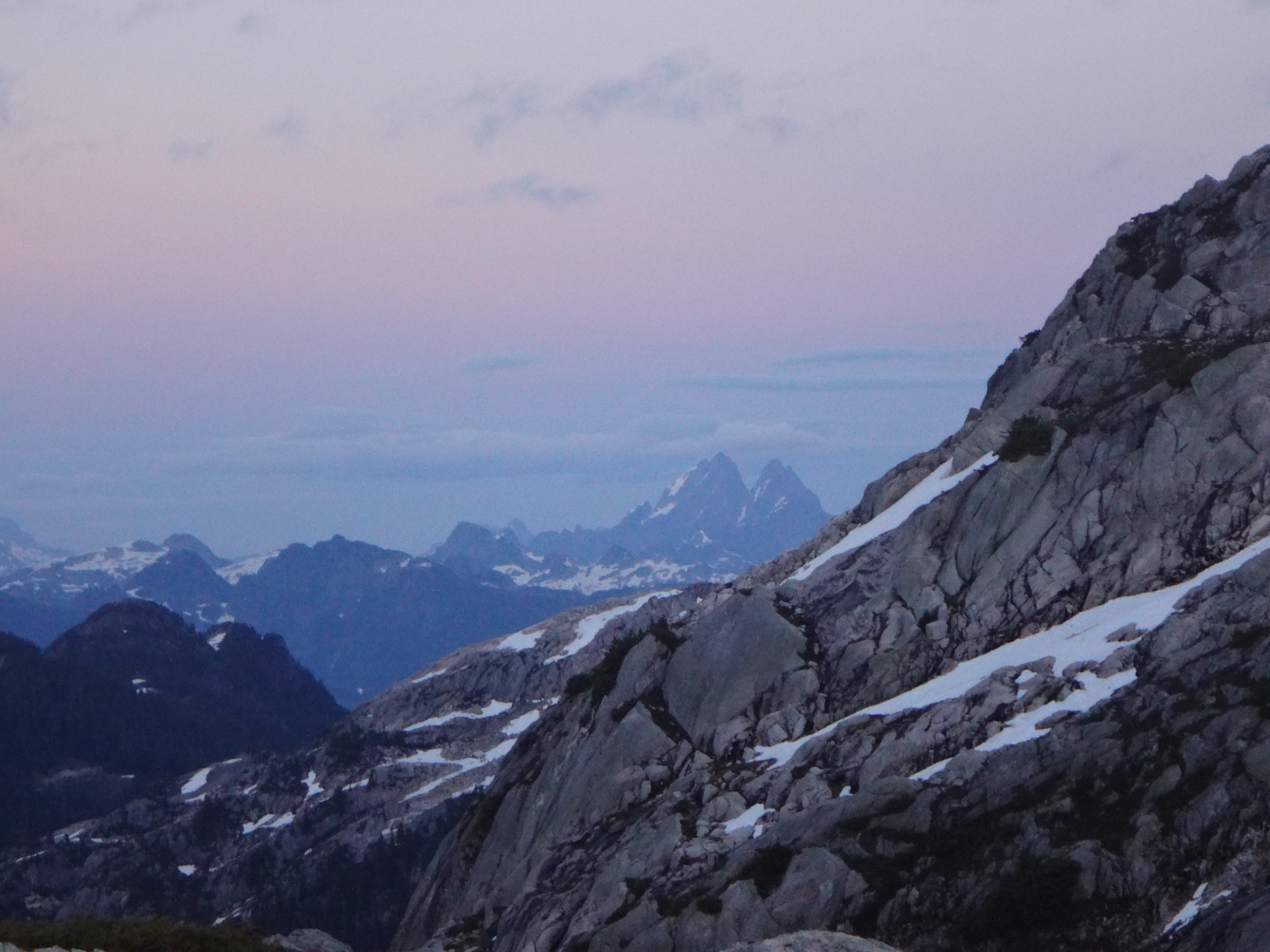
Judge Howay in the distance.
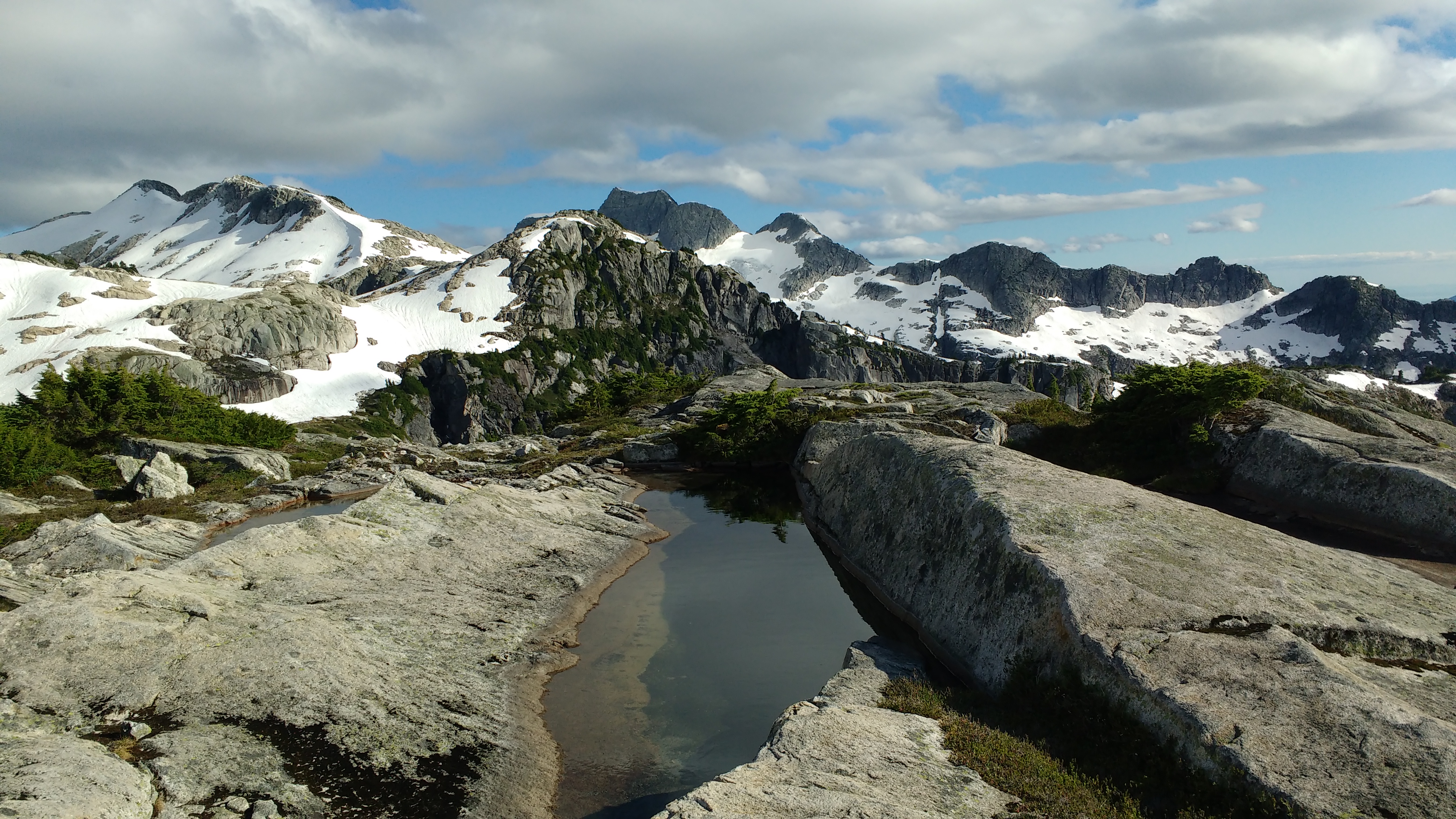
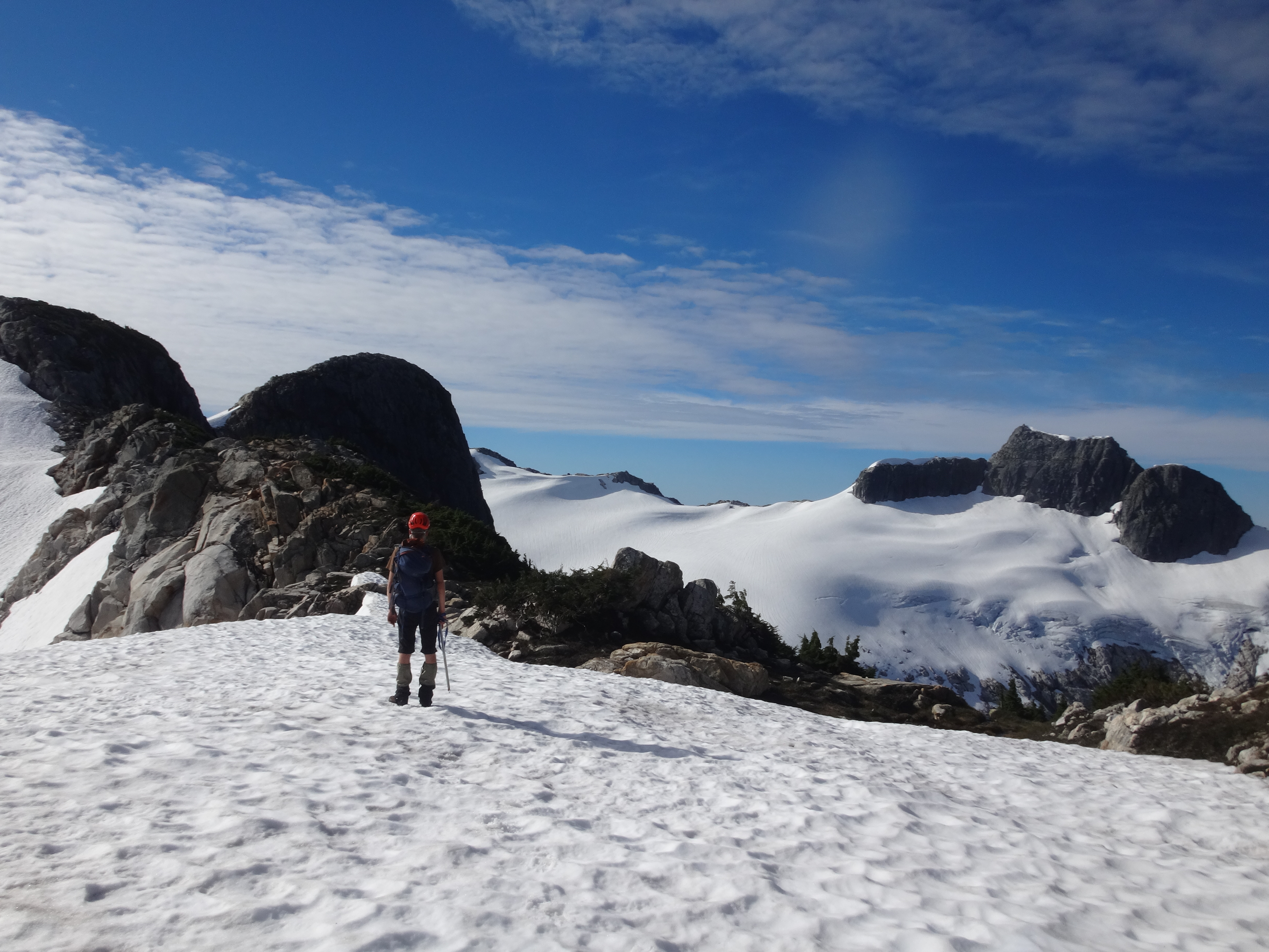
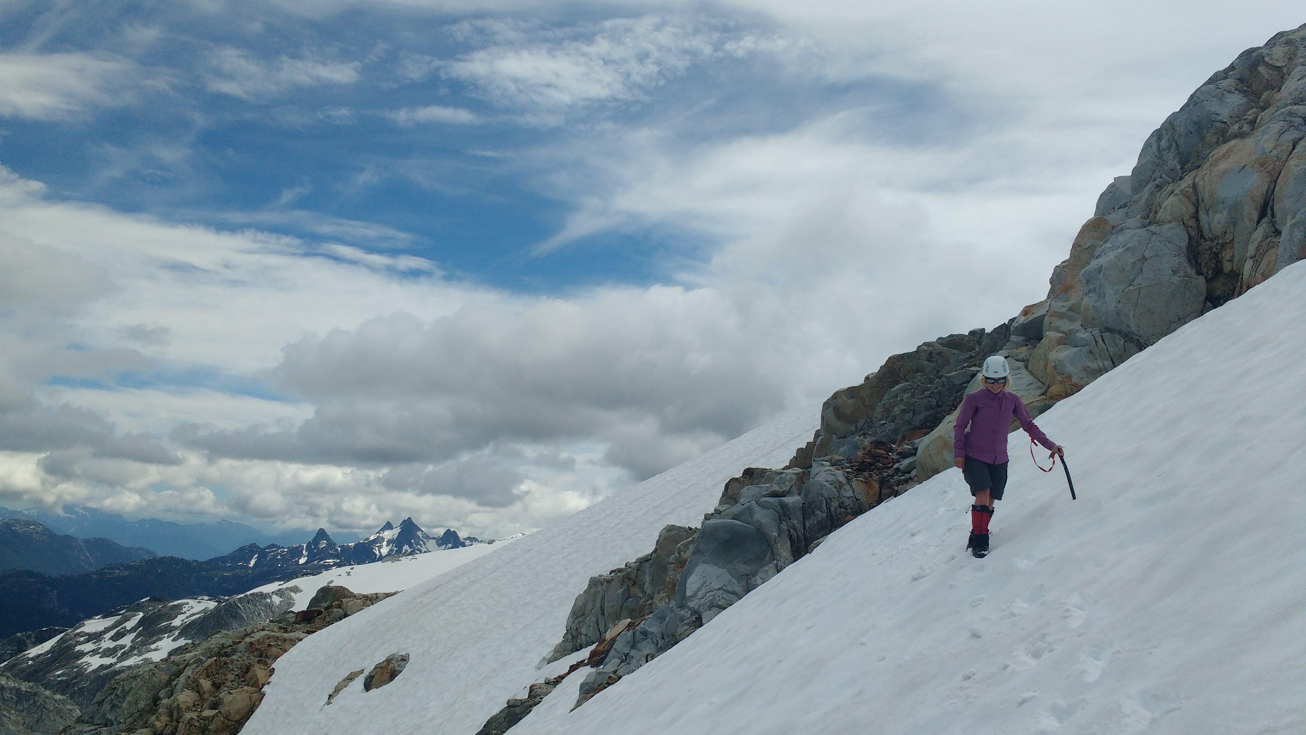
In the morning we set off for the peak anyway and found that the snow and clean granite made for very fast travel. The last 5 km or so of the route is pure alpine ridge, with a few larger bumps that could be bypassed by traversing on steeper snow. The usual route crosses a corner of the glacier to shorten the distance along the ridge, but we hadn’t brought glacier gear.
Bumpity bumpy ridge.

Traversing ~40ish degrees snow, using angles from this picture.

Sinkhole in the glacier.
We found ourselves at the base of the summit block, pleased to have plenty of time to scrambled up, spiralling towards the left (southwest) along heather ledges after gaining the mountain’s left “shoulder.” The rock is beautifully solid granite and the scrambling is 3rd class. The view from the summit, admittedly, isn’t quite as good as the view from the ridge: but that’s because the summit itself is the prettiest feature around, and when you’re standing on it you can’t see it. But you can see Vancouver and the Fraser Valley, the Five Fingers, and lots of rarely-visited areas behind the north shore mountains. After lunch on top, we raced back towards are camp.
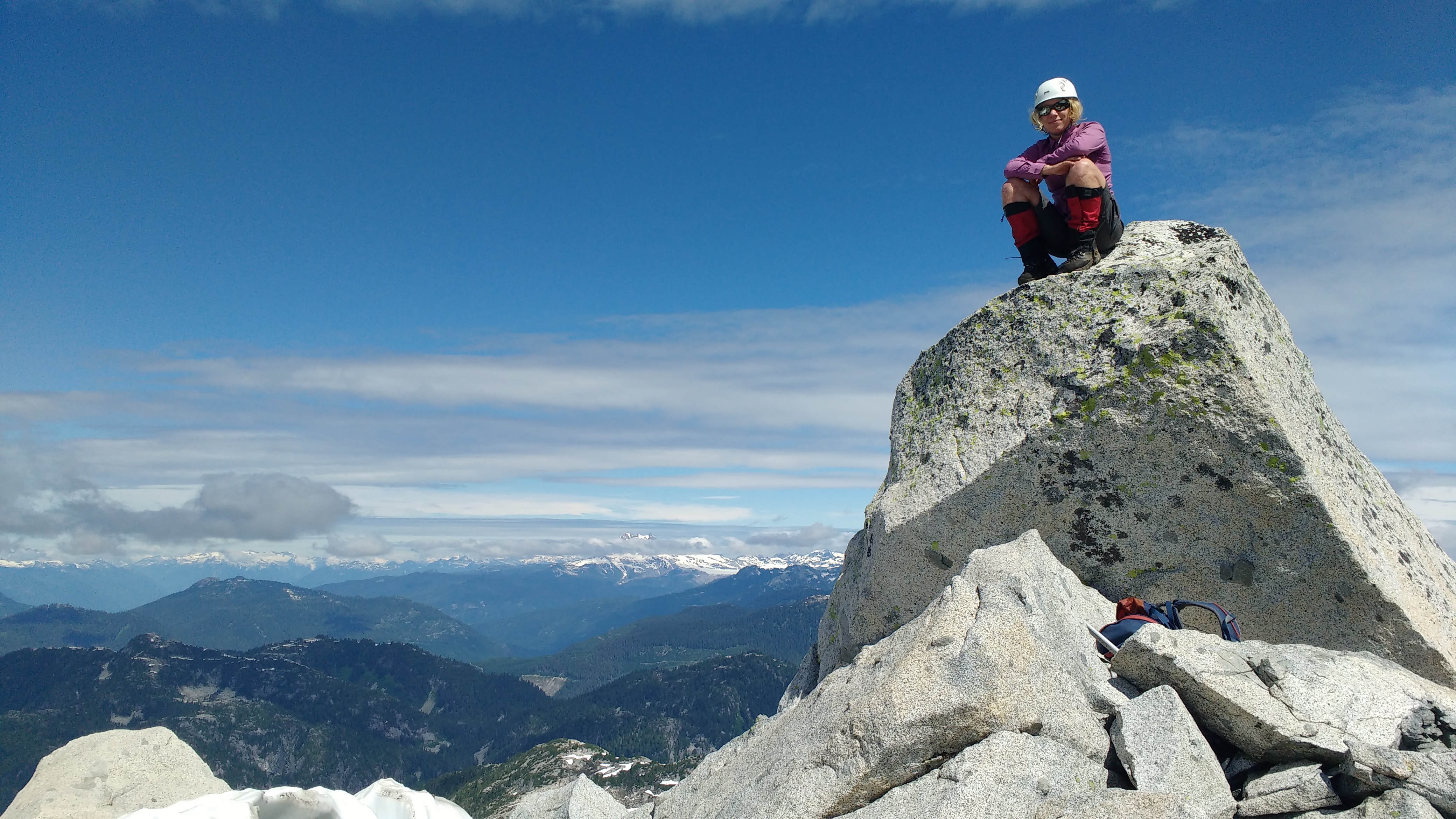
Birgit on the summit block.
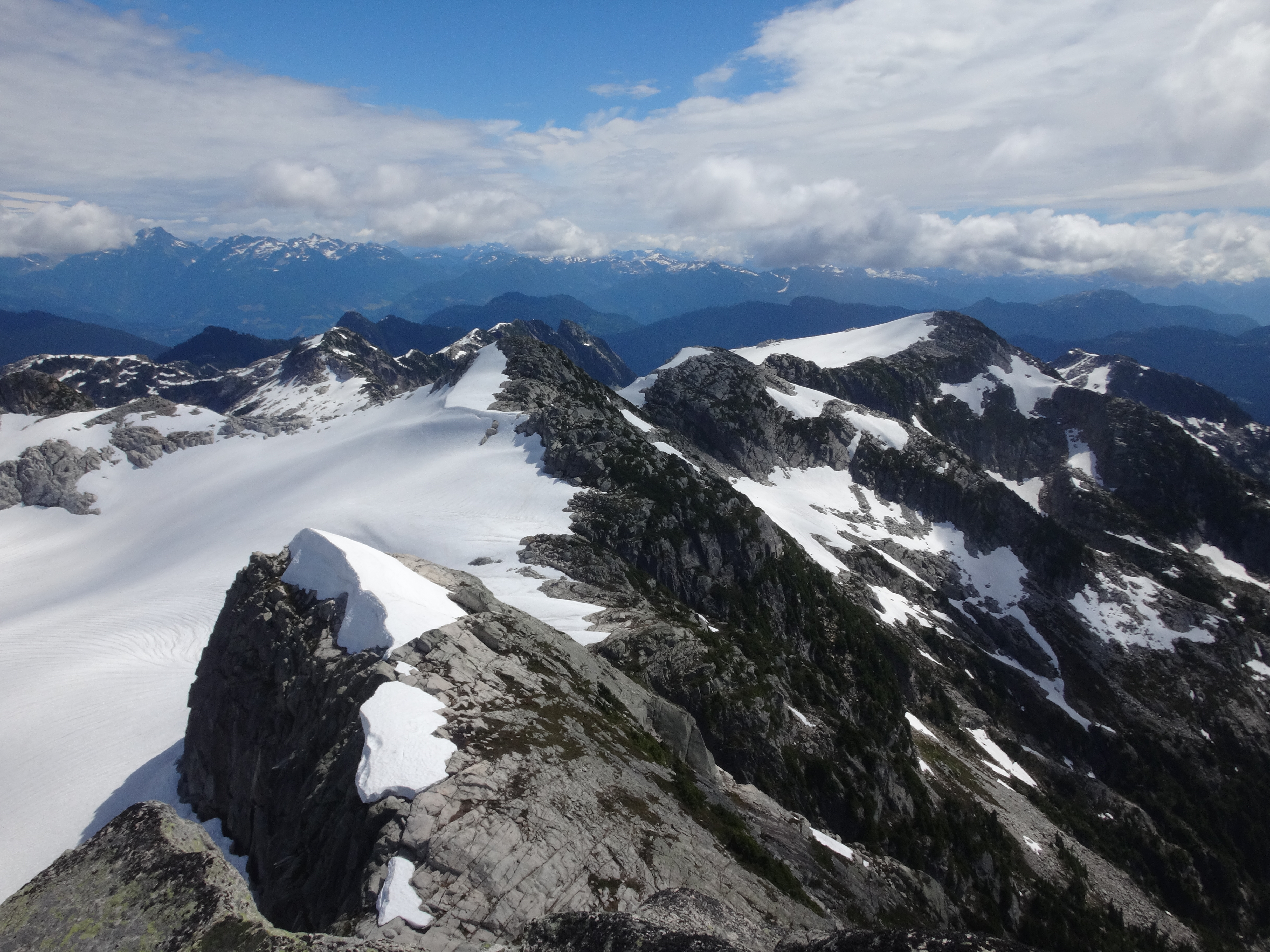
Looking back at our route up along the ridge.
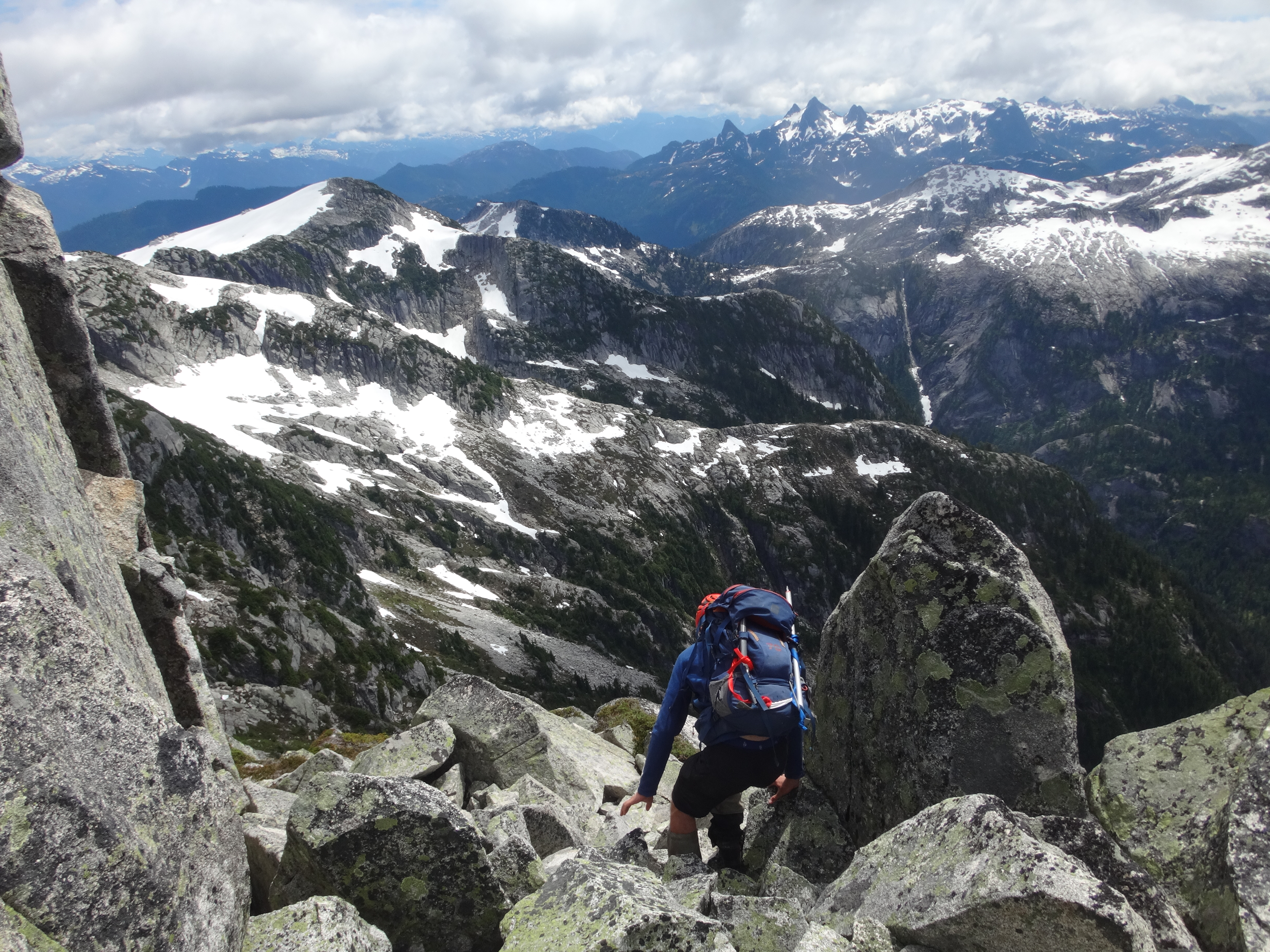
Descent from the summit with the Five Fingers in the background.
Descent back to camp.
Round-trip from camp was about 6 hours, and we decided to try to hike out to the car that same afternoon. We didn’t want to risk missing my flight to AB the next evening…
On the way out, we followed the GPS track religiously which sped us up significantly (~4.5 hrs to the car). The bush was still thick, but we didn’t spend quite so much time on cliffs. Marching, marching, marching… And then, out to the car in time to drive across the washouts before dark, pick some fireweed for Birgit’s jelly/cordial experiments, and arrive home from our trip to Meslilloet Mountain around midnight following a late dinner in Squamish.

One last look at the most beautiful mountain between Vancouver and Squamish: Meslilloet.
Awesome. Some folks in Squamish suggested the road was totally gone as of last winter, I’m relieved to see this isn’t the case. Looks like a fantastic time was had up there!
Update: Caitlin and Julien went to Meslilloet last weekend, and they discovered that there is a TRAIL that goes up Dunkeld Peak from somewhere near where you park. They report that it is easier and more pleasant to follow the route over Dunkeld to Meslilloet (as per Steven Song’s blog) than to thrash along the overgrown logging road and up to the forested col like we did.