Participants: Lucy Buchanan-Parker, Alberto Contreras-Sanz, Ross Campbell, Tom Curran and Cassandra Elphinstone
Photos: https://photos.app.goo.gl/x7ZMmrnDcFa8RgUb6
Our route can be found here: https://caltopo.com/m/A74TG
I have wanted to try the North Joffre Creek Horseshoe traverse for a long time (4+ years) but conditions never seemed ideal (or when they did – I had another trip planned). This Easter long weekend, however, the avalanche forecast was low at all elevations, and it was supposed to be quite cold and reasonably clear up the Duffey. Tom, Ross, Alberto and Lucy were all keen for the trip. To give ourselves a full three days, we drove up late Thursday night. There was more snow forecast for Monday so we wanted to be back at the cars Sunday night.
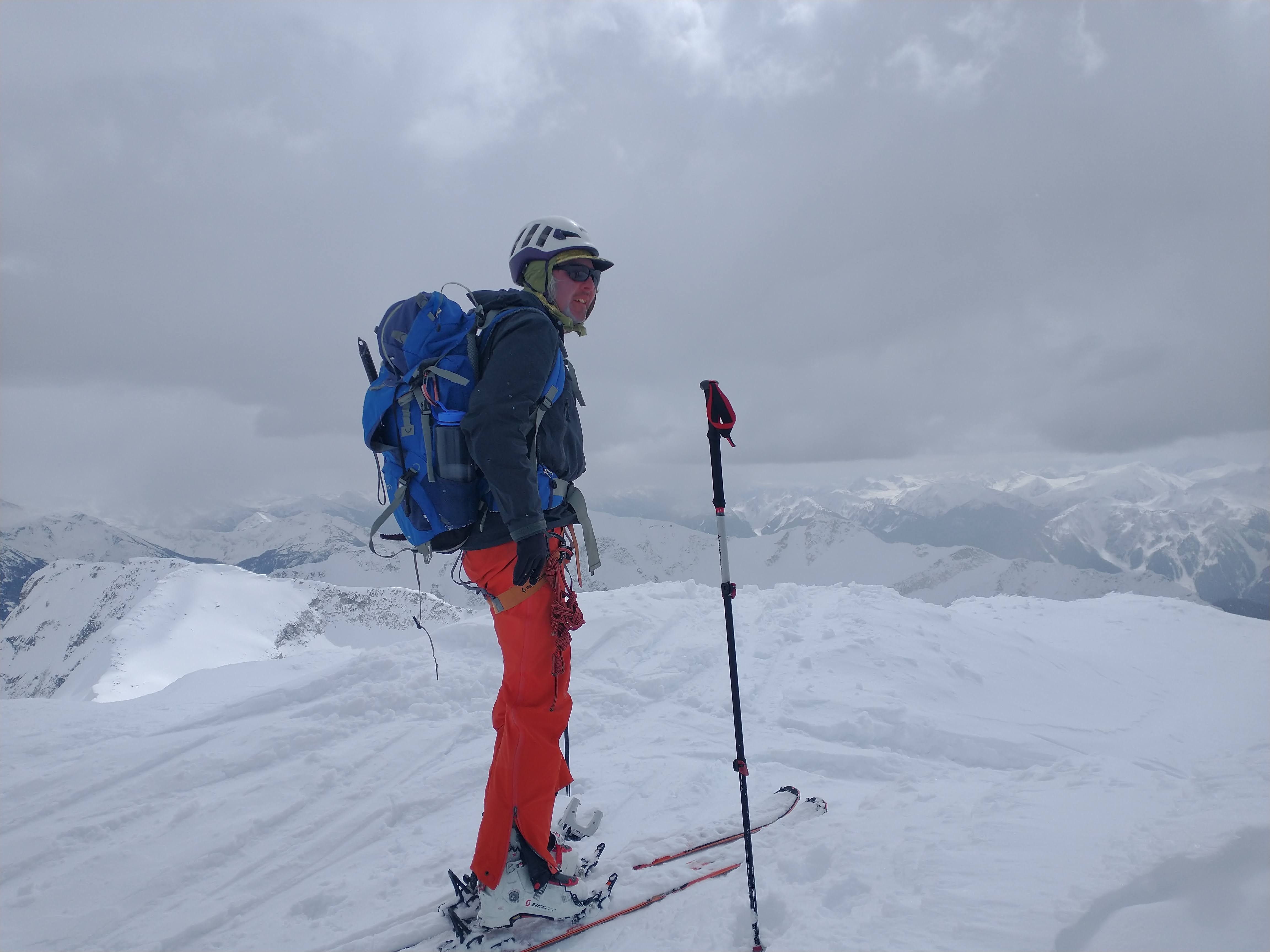
Friday morning, we woke early in the parking lot to freezing cold temperatures and clear skies. The first crux of the trip was the marsh which was luckily mostly frozen. We took a high route following an old road before dropping down through a clearcut to the marsh. After briefly crossing the creek on logs and crawling through alder, we found ourselves at the base of the steep south facing avalanche slope (one of our reasons for an early start) on the way up to Cassiope Peak. To reach the top, ski crampons and helmets were extremely helpful. Lucy kindly lent Tom her extra ski crampons and I used my old targa ascent crampons both of which could be attached with voile straps since our homemade tele tech bindings do not have a ski crampon attachment system yet. Tom did not put the ski crampons or a helmet on and slid down the slope near the beginning before being more cautious for the rest of the slope. As we would find throughout the trip – south facing slopes were sheets of icy while north facing slopes were mostly still powder. At the top, we all agreed that we would not have wanted to be there in any less stable avalanche conditions. We met up with a second group of five people, two of whom were training for their ski guide exam. We quickly skied up to the lake below Cassiope and Saxifrage Peaks to have lunch.
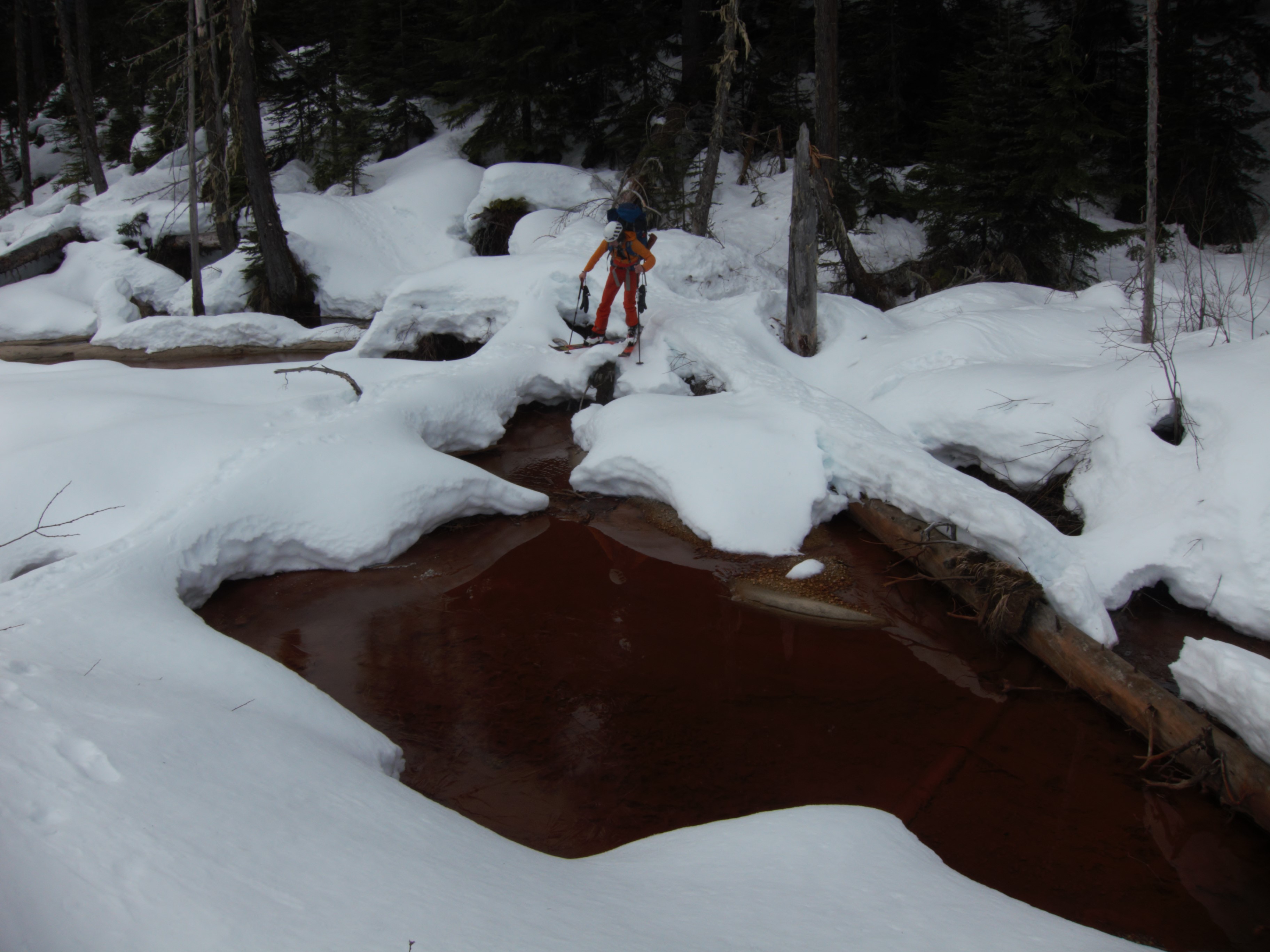
Crossing the marsh (photo by Alberto)
Skinning up above the marsh (photo by Alberto)
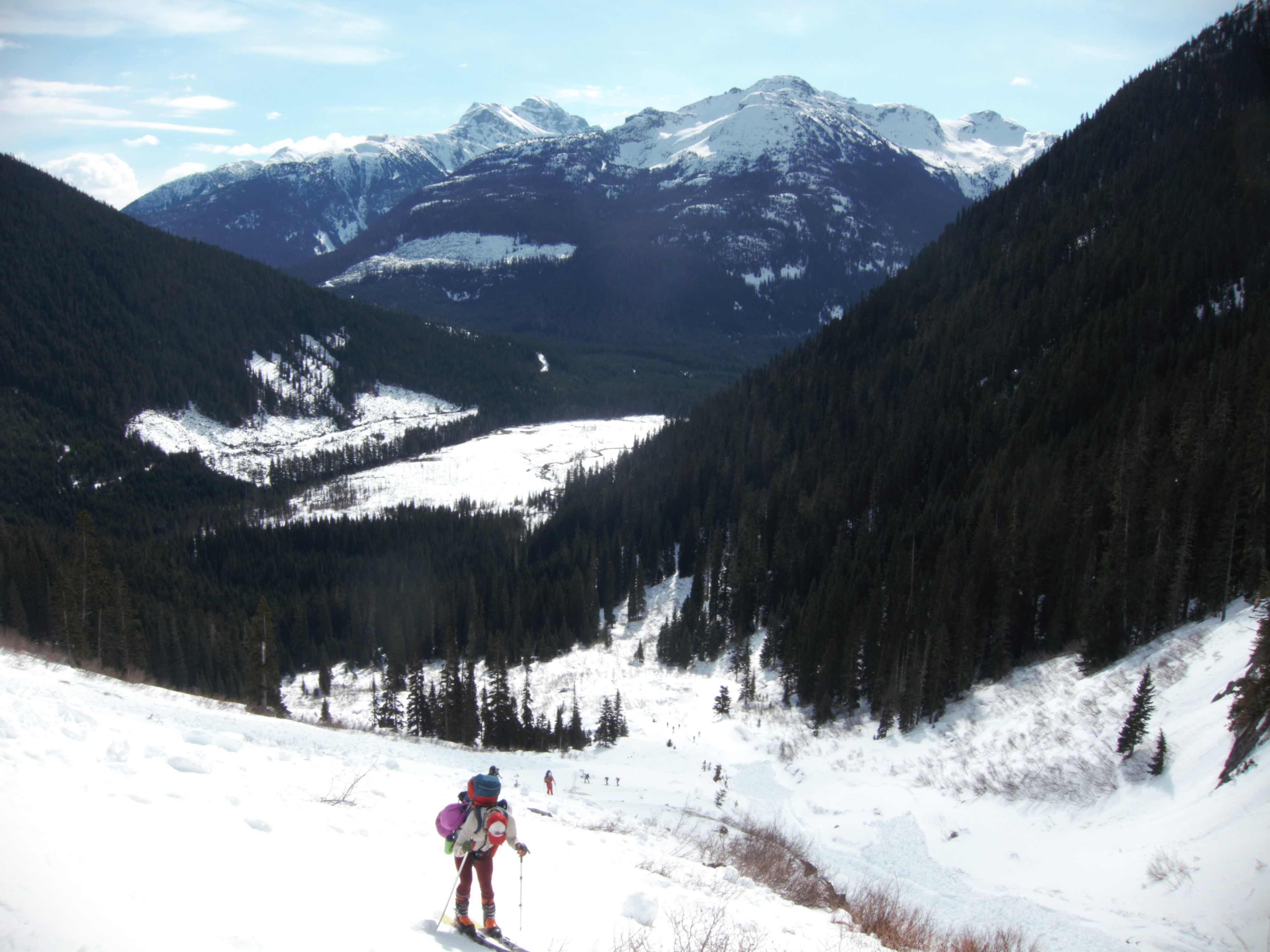
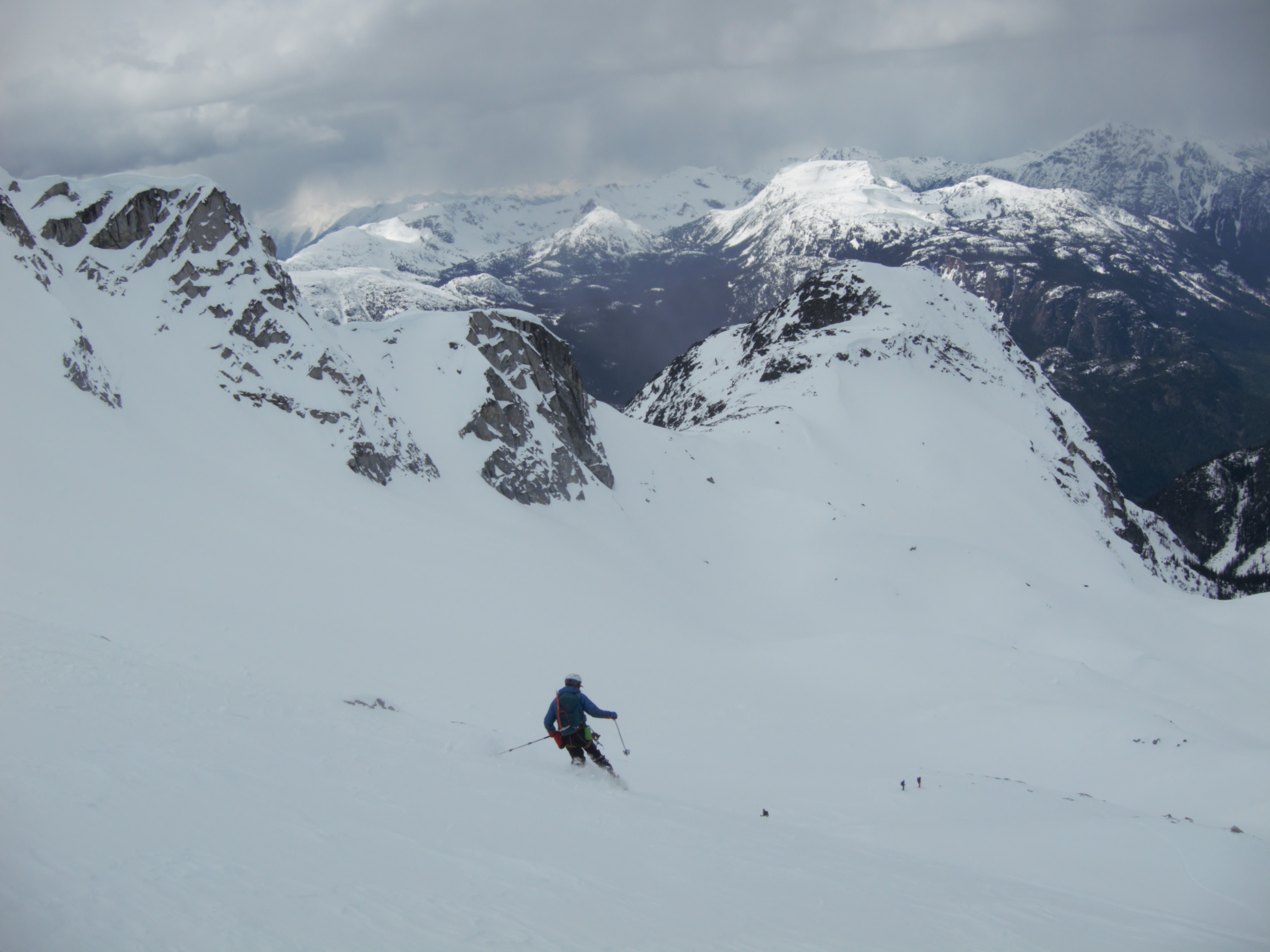
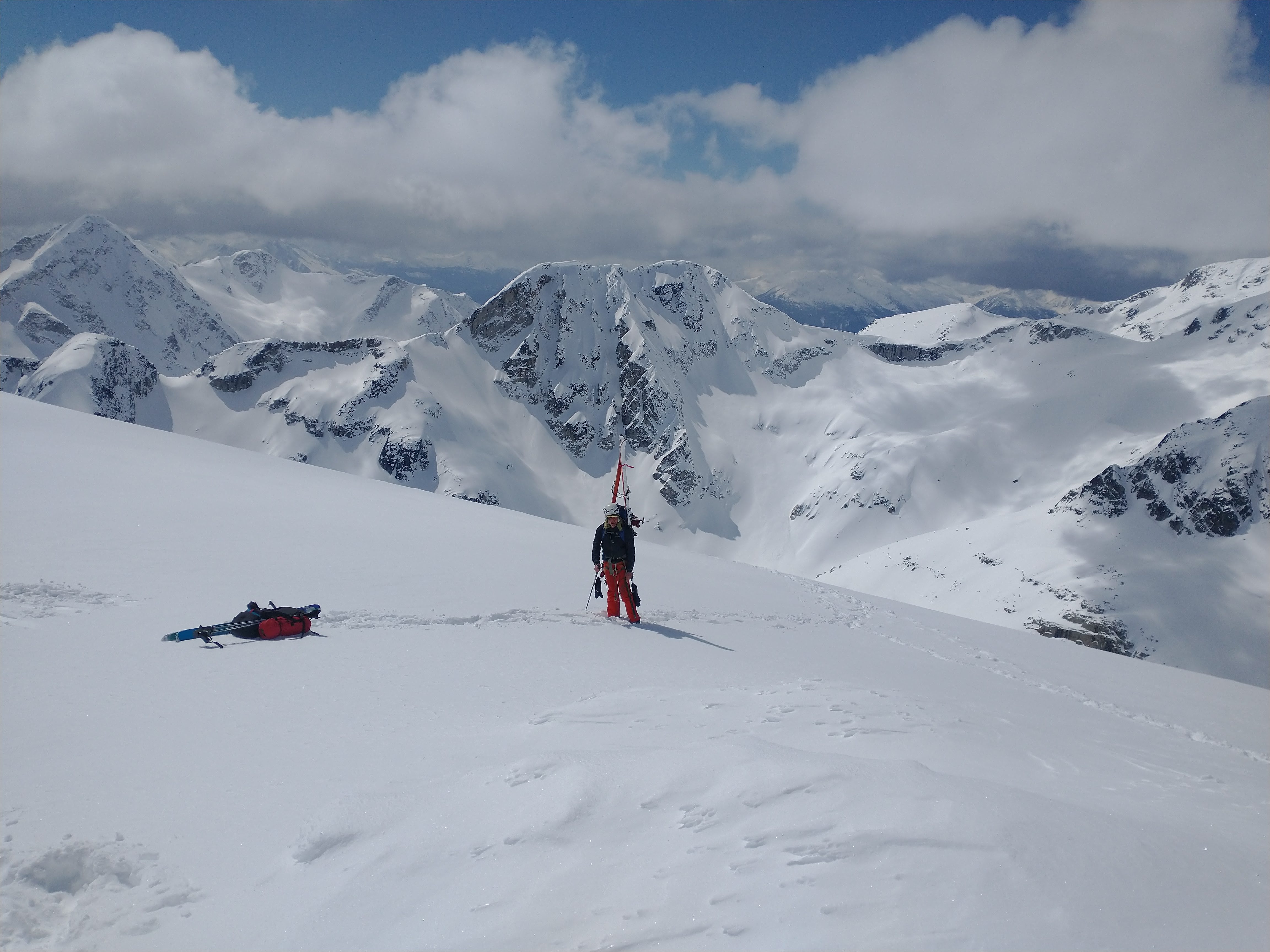
From the lake up to the col, the snow was nice and the route not too steep. The other group of five decided to head up Cassiope Peak but given that the weather forecast had some snow coming in for the afternoon, we decided to ski over to the second col under Saxifrage Peak and ski down to White Lakes before the visibility disappeared. After doing the Neve in a whiteout a couple weeks before I was particularly keen to have a camp set up before we lost visibility. We followed the ridge over to the col beneath Saxifrage Peak. This next descent was steep and started with a convex roll (35 or a bit more degrees) near the top but it was north facing and thus mostly had powder snow. You need stable snow for this descent. I went first as the visibility was not great and I figured I would not ski it quickly regardless. With every turn there was lots of sluff which really helped define the slope below me in the flat light. I followed the sluff down the fall line and before long was at the bottom enjoying the powder on the mellow slopes below.
Saxifrage-Cassiope col (photo by Alberto)
Skiing down towards White Lakes (photo by Alberto)
We camped at White Lakes where we found an open creek and the remnants of someone else’s snow shelter. While setting up camp, Ross fell in the creek and soaked his ski boot liners. The unusually cold April temperatures this weekend meant his liners for the rest of the trip were blocks of ice every morning that had to be thawed with hot water bottles. Luckily, he had brought his hut booties for the evenings (though no spare socks). I offered one of my four pairs of dry socks, but he declined, preferring to “dry out” his socks by wearing them. In the early evening, it snowed a few cm before the skies cleared and we enjoyed dinner. A moonlit lap of the powder was briefly discussed but abandoned for more sleep.
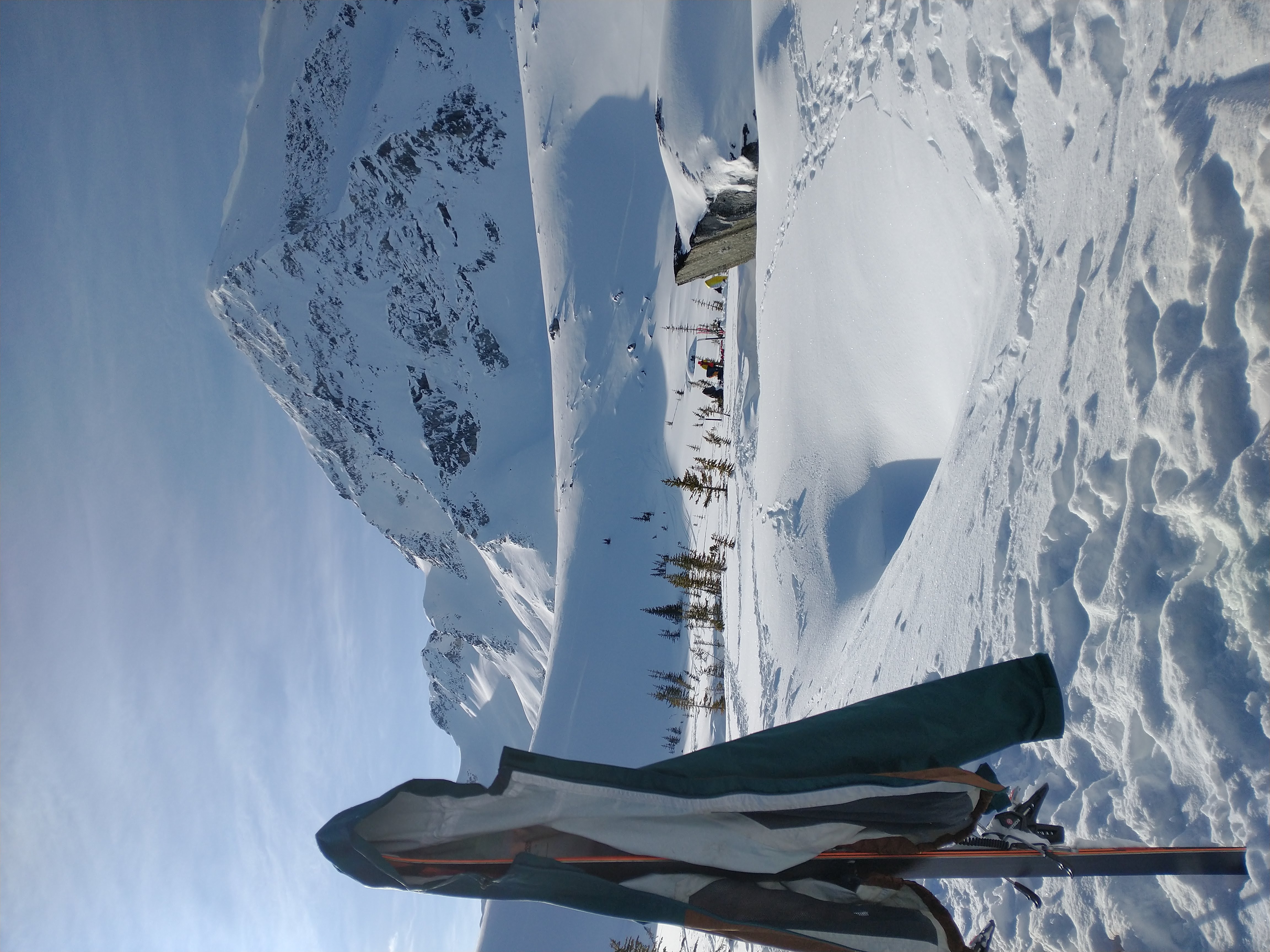
Camp at White Lakes (Saxifrage Peak in the background, our ski descent from the col just to the right of the jacket)
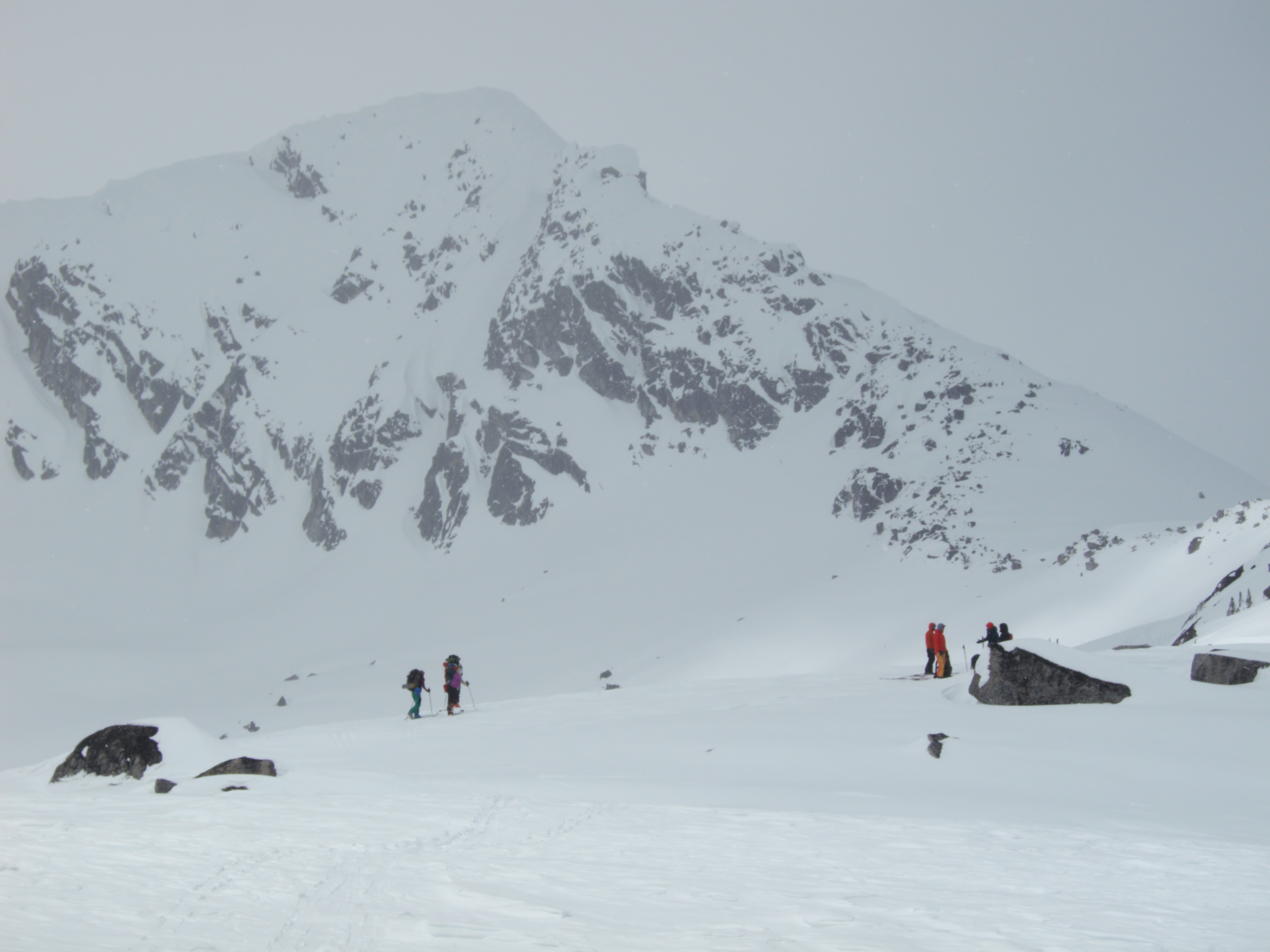
Early the next morning, we set off through the trees for the 200m climb to the lake below Oleg and Olds peaks. Ski crampons were again appreciated on this slope. After a quick snack at the lake, we set off up to the col. Layering on this trip was continuously difficult, but particularly hard gaining the col with a cold wind coming down off the glacier and the sun warming us in full force whenever we were sheltered from the wind. Right below the top we ate lunch and put ski crampons back on for the last steep climb to the col. We headed up to nearly the center of the col (slightly closer to Olds than Oleg) to avoid the many rock bands and cornices.
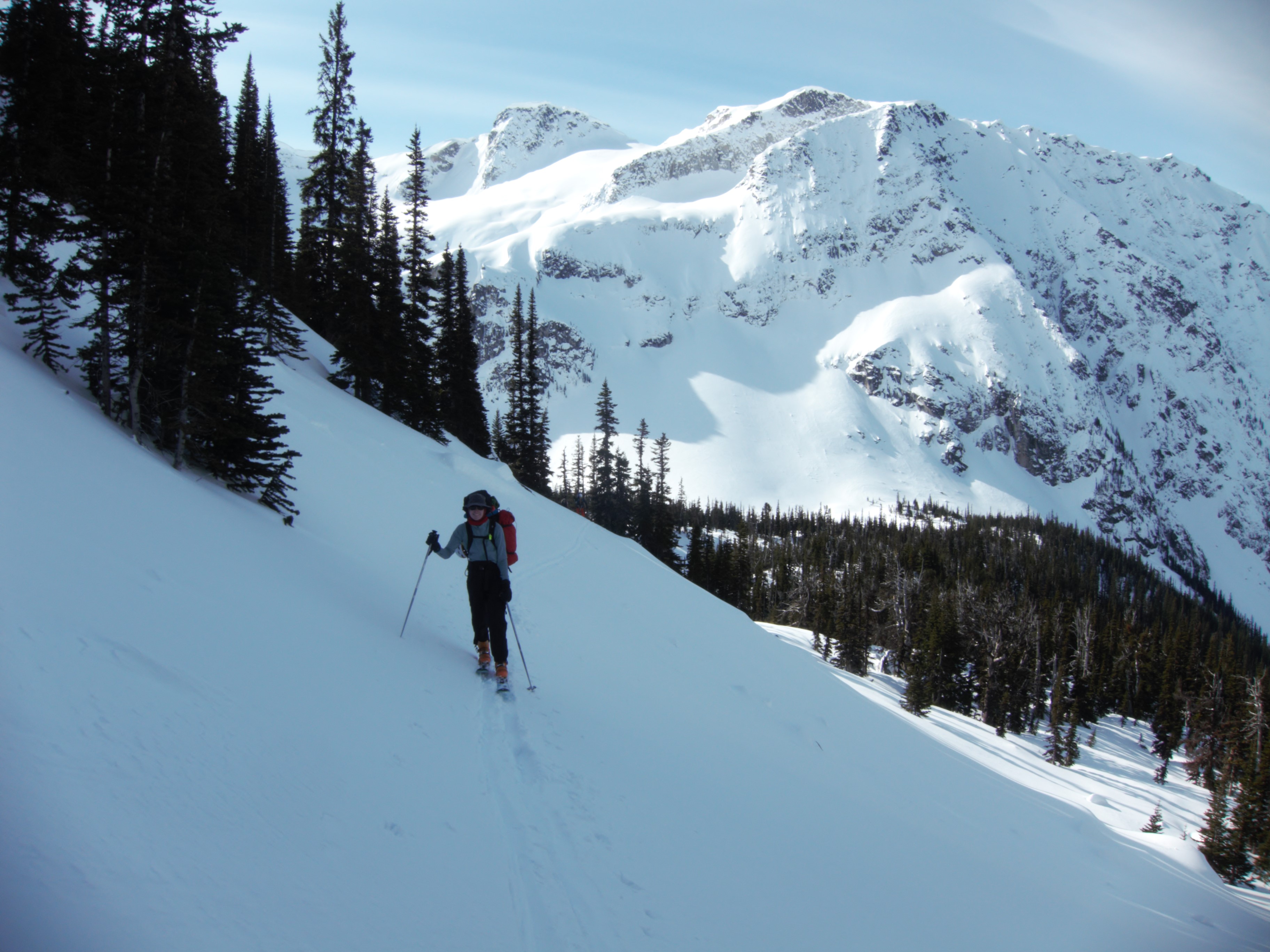
Steep skinning through the trees above White Lakes (photo by Alberto)

Heading up to Oleg from White Lakes – Mount Currie in the background
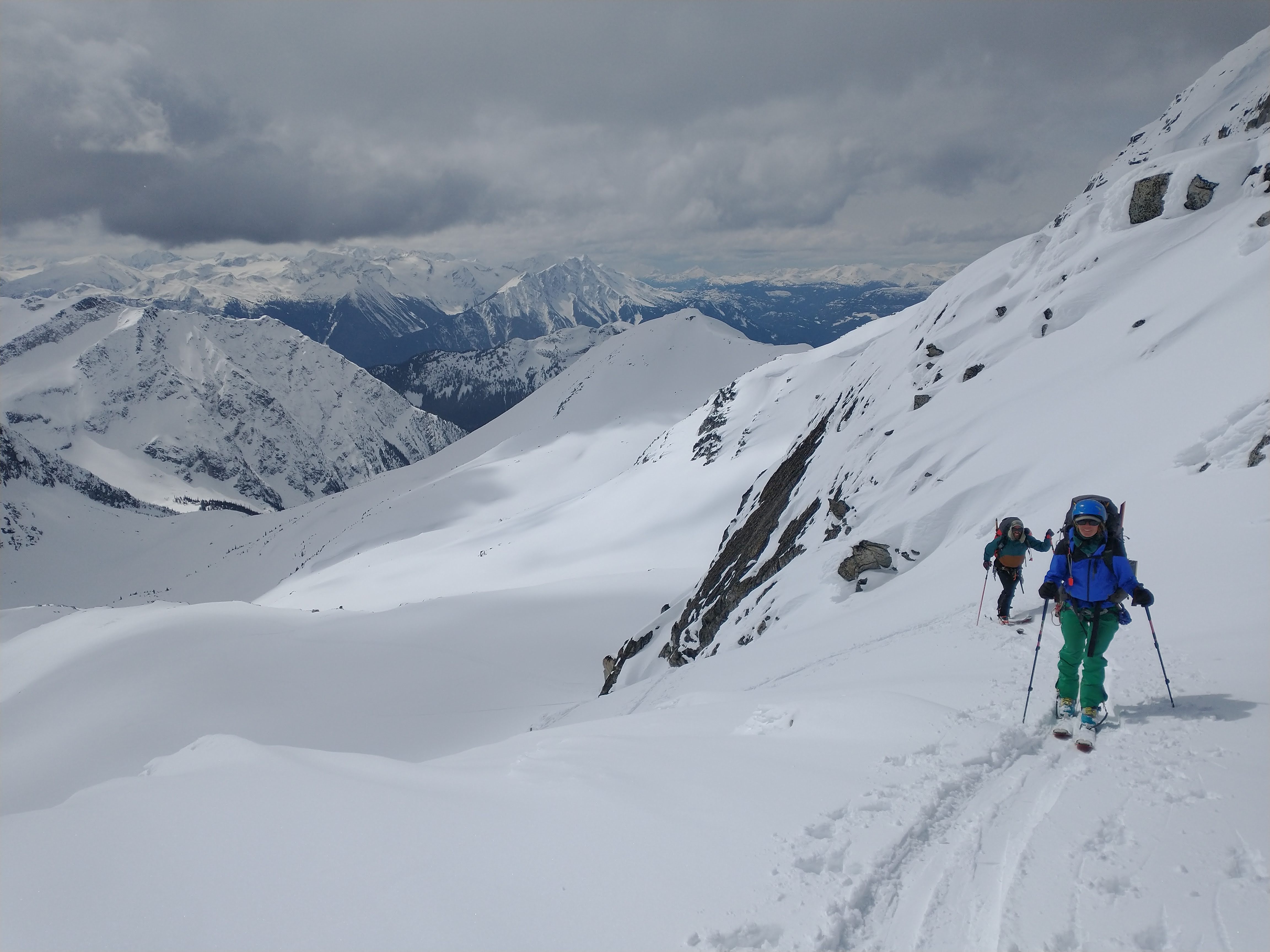
Skinning up to the Olds-Oleg col
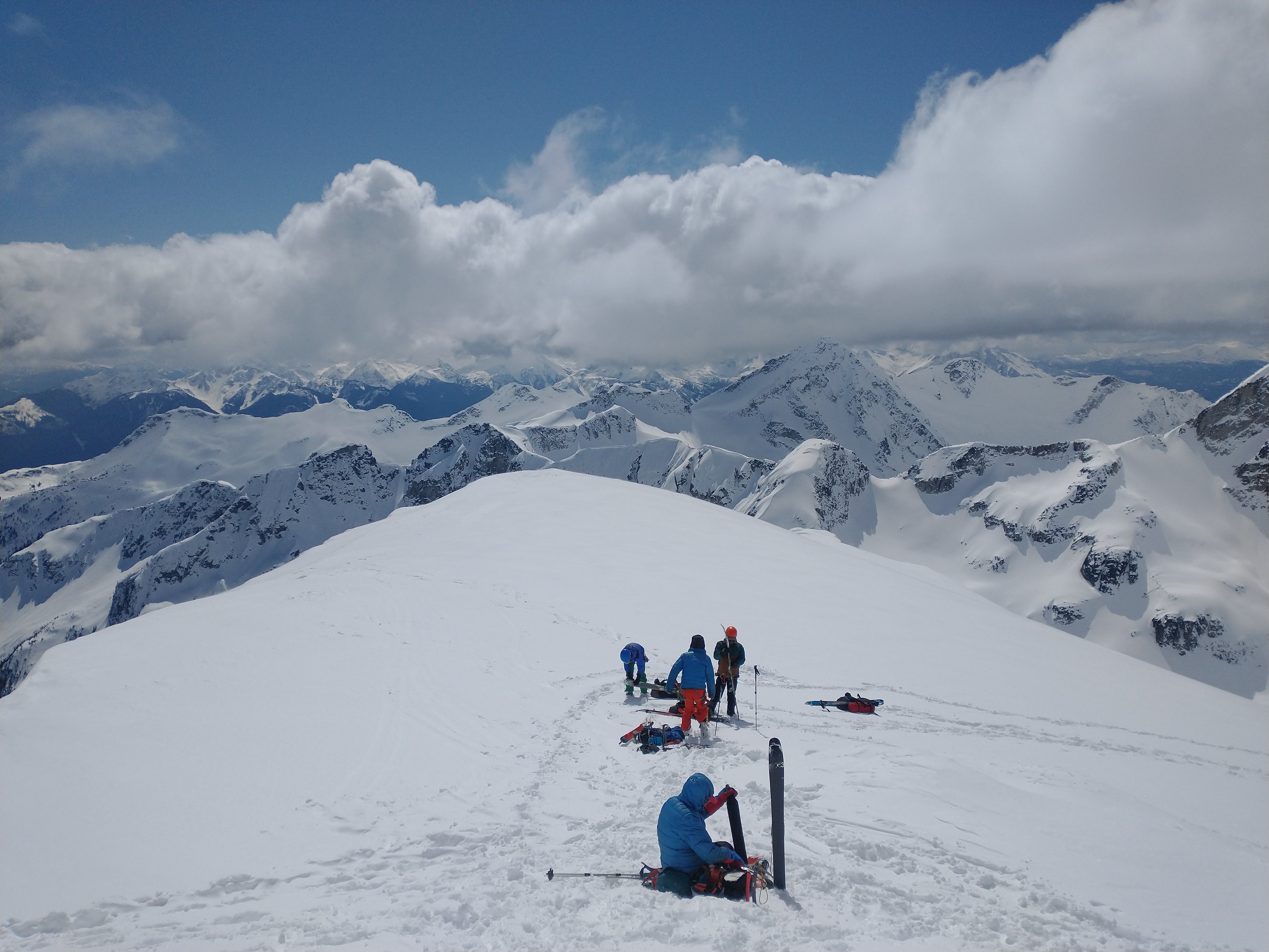
From the col, we dropped our overnight gear and skied up Oleg. Where we could see through the clouds, the views from the top were spectacular. We could see the Pemberton Valley, Mount Currie, the Joffre Range, the Phelix Creek area and all the nearby peaks in the Duffey.
Looking at the view from Olds Oleg col
Ross on the summit of Oleg
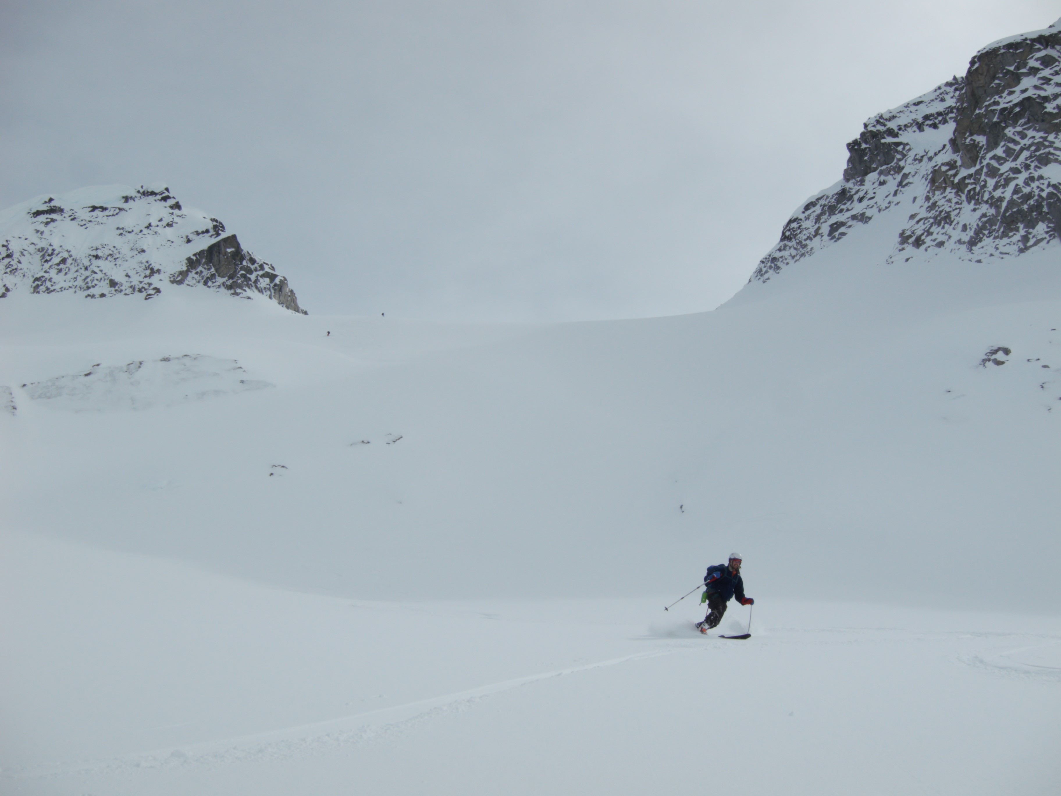
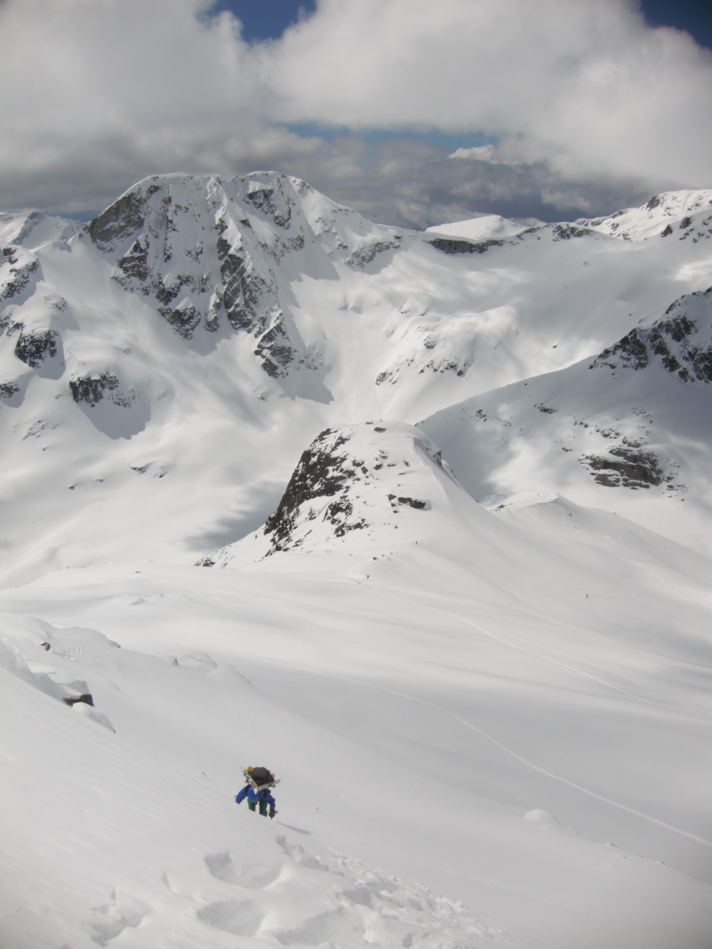
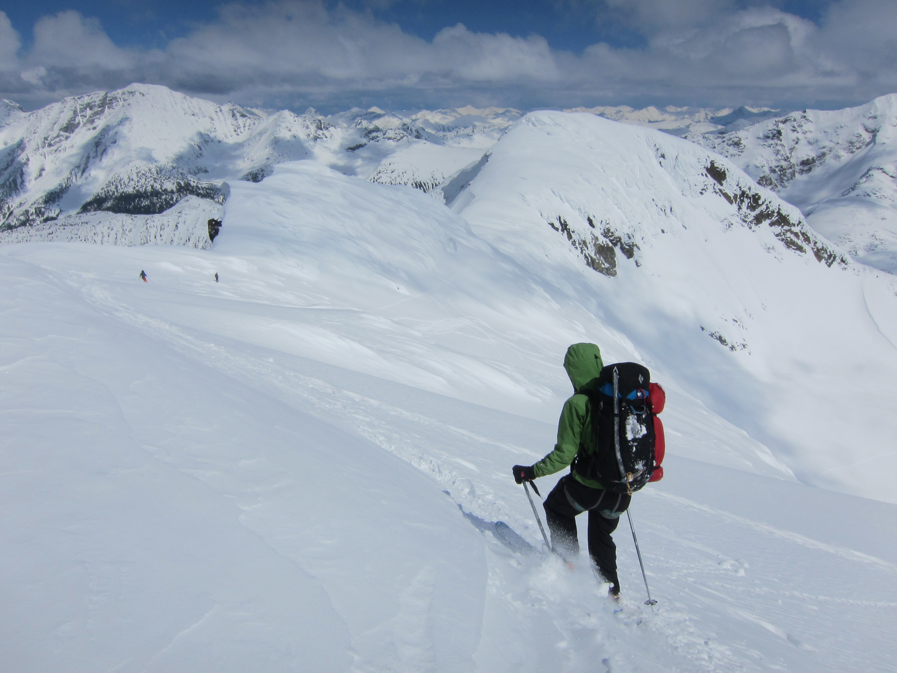
From the summit, we skied down a long north facing run stopping at about 2100m and then slowly skinned up under Mount Gardiner to the top of the rocky ridge and the Place Glacier. This was a surprisingly steep ascent and could have been avoided had we brought our overnight gear with us down the slope. The other party skinned up over the col beside Gardiner and dropped directly to the glaciology huts.
Skiing down from Oleg (photo by Alberto)
We repacked our bags with the overnight gear at the col and prepared to ski down to the glaciology huts for the night. This is where things began to go wrong. I skied down to the flat part of the glacier first. At the bottom of the slope, I knew I would be waiting a bit for everyone to finish faffing at the top so I took off my pack and skis, sat down and enjoyed the views of the glacier and peaks around me. A few minutes later I looked up and saw Tom do a couple nice tele turns and then fall. He seemed fine so I turned back to look down the glacier again – then I heard yelling behind me. Just as I turned around, I saw this object flying down the glacier past me. After a moment, I realized it was a ski… but moving too fast for me to have any chance of catching it with my skis off. I watched it sail down the glacier and out of sight.
Tom slowly skied down to me on one ski. Alberto, Lucy and Ross took off after the ski. I took some of Tom’s gear and we headed down the glacier following the single ski track left by the ski in the powder. The Place Glacier is large. I tried not to imagine just how far the ski might have gone. Eventually we heard yelling. Ross found the ski flipped upside down on the slope. We figured it must have gone off a little jump, flipped and luckily stopped in the snow. We were nearly 2km from where Tom lost the ski and halfway to the glaciology huts. Part way down the glacier, Tom realized his phone was also missing. When he fell, his pocket was unzipped and now contained snow but no phone. We decided to continue to the huts for the evening sans phone.
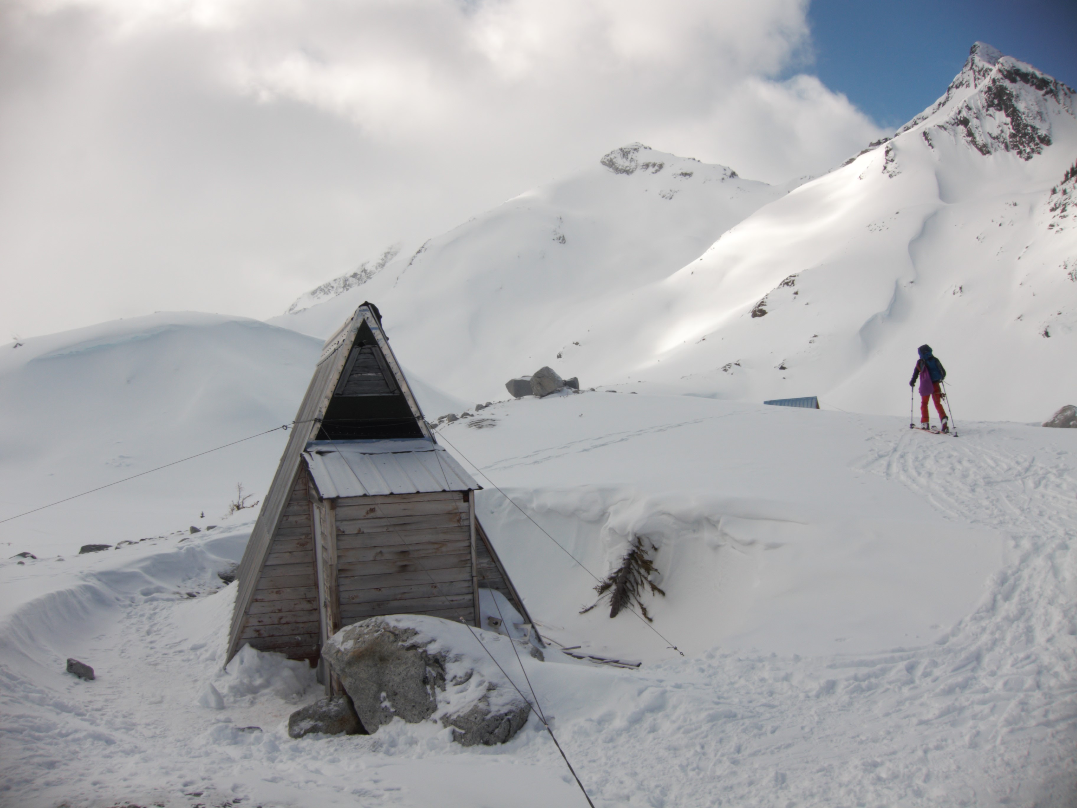
Place Glaciology Huts (photo by Alberto)
The two small huts at the base of the Place Glacier are extremely similar to the Sentinel Bay glaciology huts. The other party had already occupied one of the huts and suggested the other one was mostly for equipment. We went to investigate and Tom and Alberto chipped out the ice that had frozen the door shut. Inside, the hut had two sleeping spots as well as some space on the ground. There is a small climate station setup outside this hut. We got water from the lake and cooked outside. The sunset was gorgeous – with the pink light shining through the snow in the distance, lighting up the glacier. As soon as it got dark and started to snow, it became too cold to sit outside comfortably and we all headed into the glaciology hut. We enjoyed reading the logbook while making hot water bottles. As we set up camp for the night, we discussed the plan for Sunday. Tom wanted to go search for his phone back at the top of the col between Olds and Oleg. I agreed to go with him. We planned to meet Lucy, Alberto and Ross at the lake below Cirque Peak at 10am.
As we discussed the plan for the last day, Tom and Ross realized that neither of them had the car keys. Ross remembered leaving them on the front hood of the car but no one else remembered picking them up. We went to bed hoping we would still be able to find the car (and the keys) in the parking lot the next day.
After waking up at 6am, Tom and I set off for the col just after 7am. We left our tent and stove for the other three to carry up to the lake. Thank you! As we headed up the glacier, I started to feel unusually tired. My head was pounding, nose running and occasionally I coughed. It crossed my mind that these were COVID symptoms, but I decided it must just be the unusually cold weather, combined with not enough sleep and the hopelessness of trying to race back up 500m of elevation to search for a cell phone on an enormous glacier. We continued up – Tom breaking trail and me trying to keep up. I would agree in retrospect that the views were gorgeous as we skinned up the glacier in the morning light, but I was mostly in too much discomfort to enjoy it at the time.
Back at the col (for the third time on the trip) we started searching just as the visibility worsened significantly. It was 9:35 (five minutes after the time we were supposed to start back for the lake) when Tom thought he spotted the place he fell. As I climbed up to where he was, I saw a dark patch of snow. I stabbed it with my pole thinking it was a rock that I didn’t want to skin over but it turned out to be the phone. Glad that we had found it, we transitioned for the ski back down the glacier. With some extra cord, we made Tom leashes before we lost another ski.
At the lake we met up with Mike Cancilla and friends and all transitioned to skin up to Cirque subpeak at 2477m. This subpeak was the crux of the trip. It involved a short boot pack up one side and then a steep ski down the other side through some rock bands. Apparently it did not used to be so steep according to historic reports, but glacier melting has changed the slope even if it does not show on the maps. We slowly made our way up to the boot pack. Boot crampons are recommended here. Although not essential this weekend, in more icy conditions they would be required. At the top, I told Mike’s group about our missing car keys and they agreed to do a quick search for them and leave them on the front tire if they could be found.

Boot pack to Cirque sub-peak (photo by Alberto)
Boot pack with the Place Glacier behind (photo by Alberto)
Ross coming to the top of the boot pack above the Place Glacier (note the missing sunglasses)
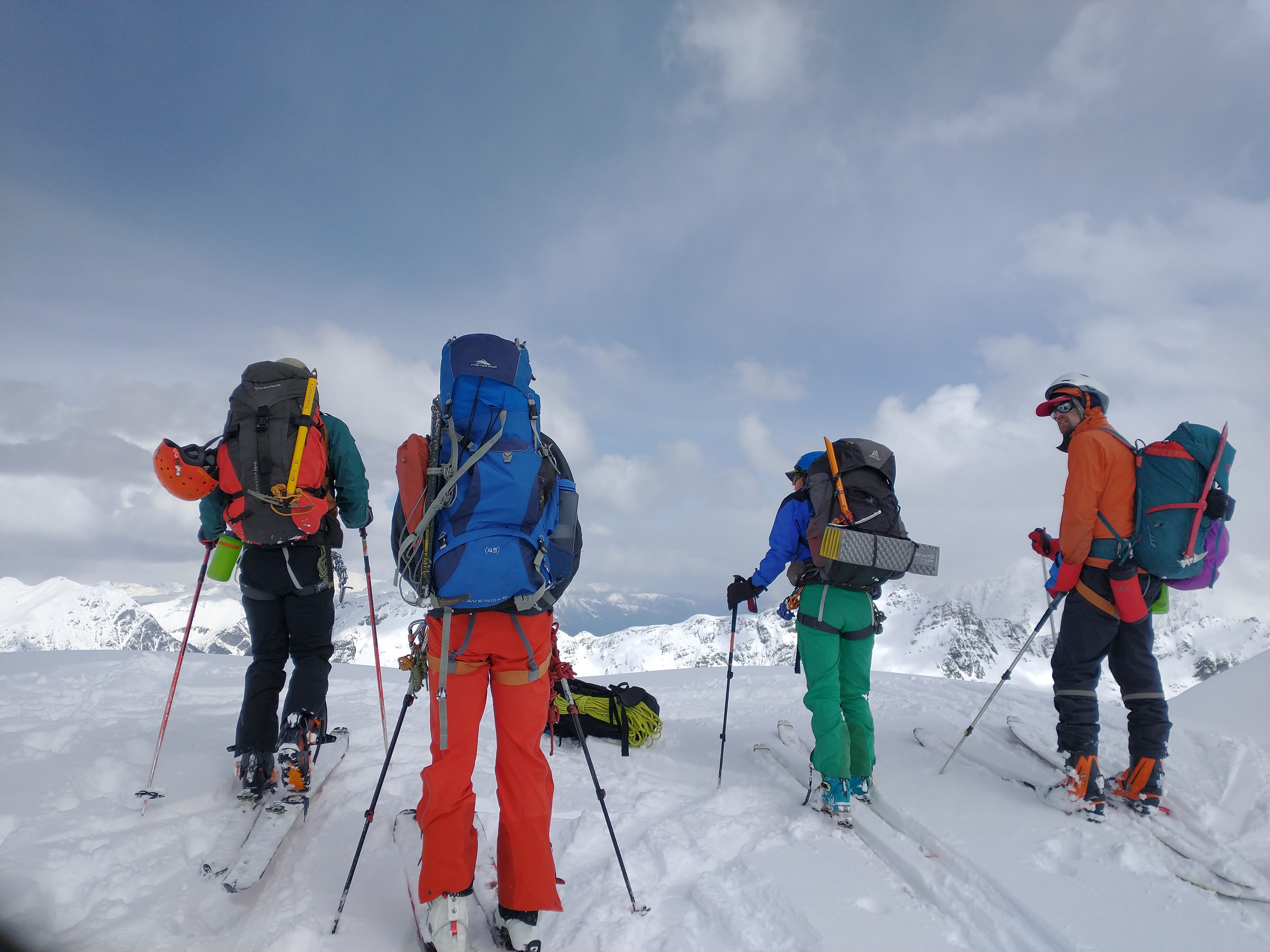
Group on the sub-summit of Cirque Peak (2477m)
We slowly skied down the back side through some steep icy rock bands – a section that may be easier to boot pack than ski for some. Some reports show a more mellow line following the ridge that avoids the cliff band. Once past the steepest part, we met another group doing the traverse. They were day trippers and one of them had found the keys to our car on the hood! They left them below the plastic bug deflector on the front of the car. We thanked them and started the icy, bushy descent down to the logging road (we got slightly off route here). Once we reached the logging road, I felt more exhausted than usual but luckily it was mostly flat and down to the car.
Skiing down from Cirque sub-peak (photo by Alberto)

Looking back at rock bands on the descent from Cirque Peak sub-summit
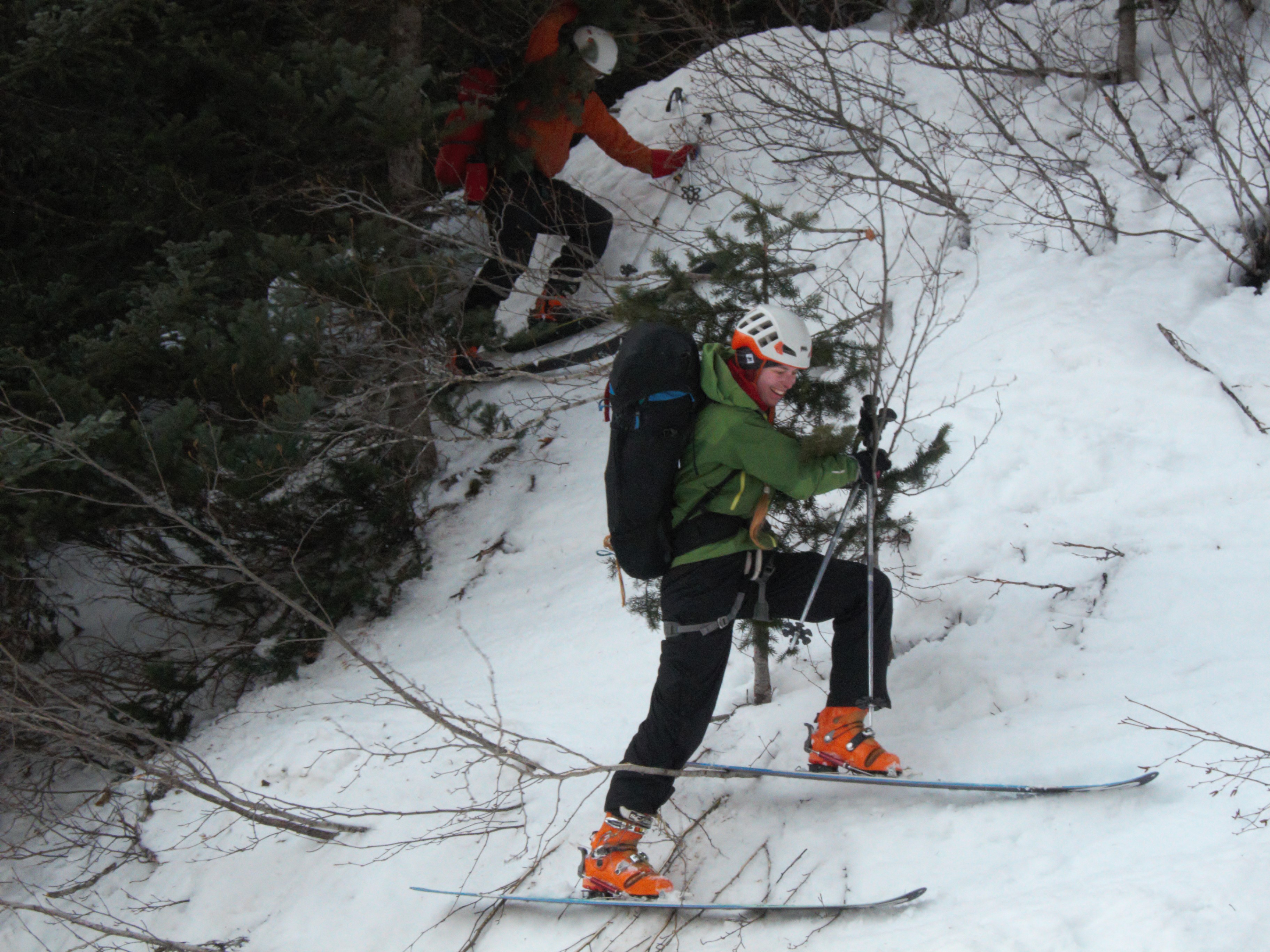
Some bushwacking to reach the logging road (photo by Alberto)
Back at the car, we found the keys, packed up and were ready to drive off when the car would not start… Alberto and I waved down a couple cars – one of which had jumper cables and agreed to give us a jump start. Lucy messaged Richard (who was planning to meet Lucy and Alberto in the Duffey for another day of skiing) about our predicament and he drove up to the trailhead. After a bit of trying, the jump start worked (tip: connect the negative cable to the engine block, not painted sheet metal).
Ross, Tom and I set off for Vancouver while Lucy and Alberto said bye and headed off for more skiing with Richard. On the drive home, the terrible headache that I had noticed briefly on the glacier that morning returned in full force. On Monday morning Tom, Ross and I were all not 100%. By the afternoon, Tom tested positive for COVID. I felt sick but only got negative test results. Ross had it worst of all – feeling sick and being snow blind.
Overall, it was an interesting and beautiful trip. A lot went wrong but luckily we were able to resolve most of the issues. For future trips to the area – only go with good avalanche conditions, bring ski and boot crampons, be careful around the open creeks, have leashes for your skis, do up your pockets when skiing down, wear sunglasses and sunscreen and don’t forget the car keys on the hood of the car.
Nice TR! Makes the traverse sound fairly straightforward—-if you have ski crampons
Wow – sounds like you had a grand adventure and awesome to run into friends out there. My first time doing this traverse too, pretty great conditions for it. Sorry to hear about the covid!!! I was happy that the ski out the trees was relatively easy, we were at the logging road without much issues.
Hoping that the N Jeoffre Ck covid variant is a mild one
Nice! Glad your car was still there – I had skis stolen from that trailhead 10 years (minus a month) ago after we stashed them to hike back to the car (Marriott to Cayoosh traverse).
Great adventure, sorry I could not join but probably lucky in retrospect as the N. Joffre Ck variant may have messed up my overseas fieldwork! I hope you’re all feeling better now.