Participants: Cameron Varcoe, Aaron Lee
Dates: Oct. 12-13, 2024
This is a story about two VOC/UBC Sailing club members banding together on a Sea-to-Sky weekend for the books. Sorry Allen if the picture book below made editing this TR infinitely harder.


Now for a coherent trip report in plain english:
It’s October 7th. My brain materializes a “brilliant” plan to finagle some UBC Sailing folk to join the VOC Say Nuth Khaw Yum Park paddling trip and go hike some mountain. Less than a week notice is a great recipe for success when seeking crewmates, so I go full (respectful) pirate mode. I manage to get the-one-and-only Cameron Varcoe onboard through pirate mode. We plot a course to paddle, hike to, and bushwhack up Mt. Bonnycastle.
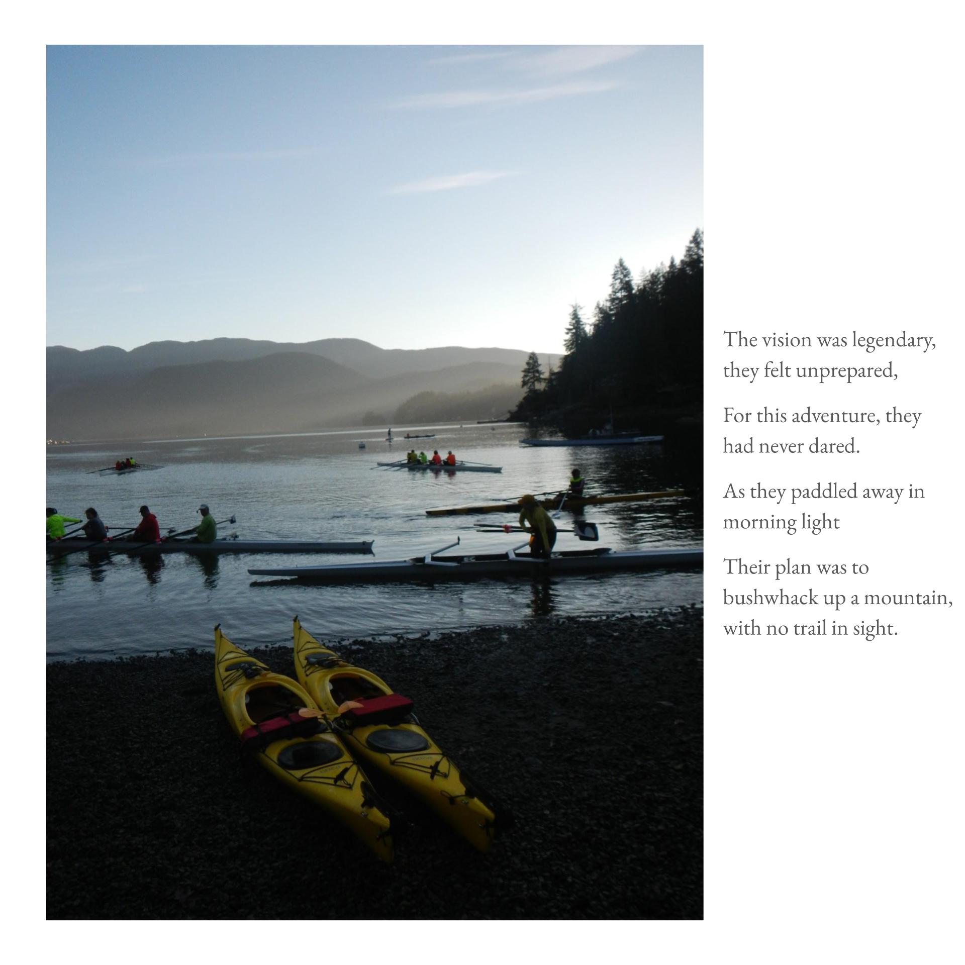
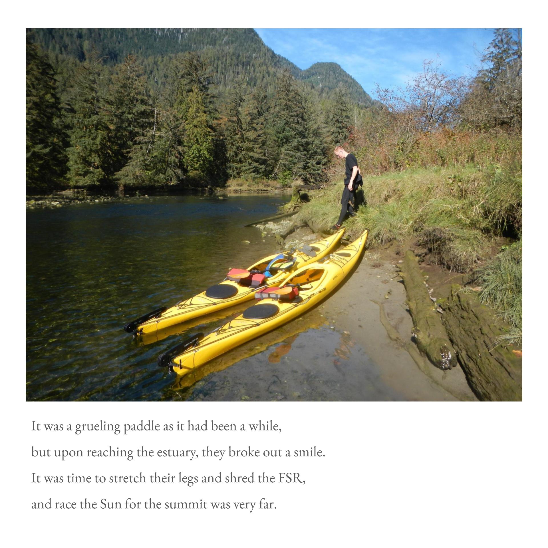
The story starts at 0630H on October 12. We load borrowed kayaks from the UBC Sailing club in the warming light. 1 hour driving time and 1 hour of bag-Tetris later, we began our paddle. Prime paddling conditions with minimal current and wind, golden morning stillness. Wearing wetsuits made us very warm. There were many moon jellies in the water. 4 hours paddling time later, kayaks were stowed at the mouth of the estuary, and we start hiking at 1300H.
At this point, we recommend hikers turn their brains off and follow these directions:
1) Hike 4km down the Stawamus/Indian River FSR.
2) Hang a Roger onto the Hixon FSR, continue for 2km.
3) Continue right on the Hixon FSR (left goes down the Young Lake FSR), assert dominance over cars by stepping around log barrier, continue for 5km.
4) Turn brain back on when you cross a bridge over Hixon Creek.
5) Hang a Larry where the forest looks nice at any point before you crest the hill after the bridge. The forest after the hillcrest is less nice.
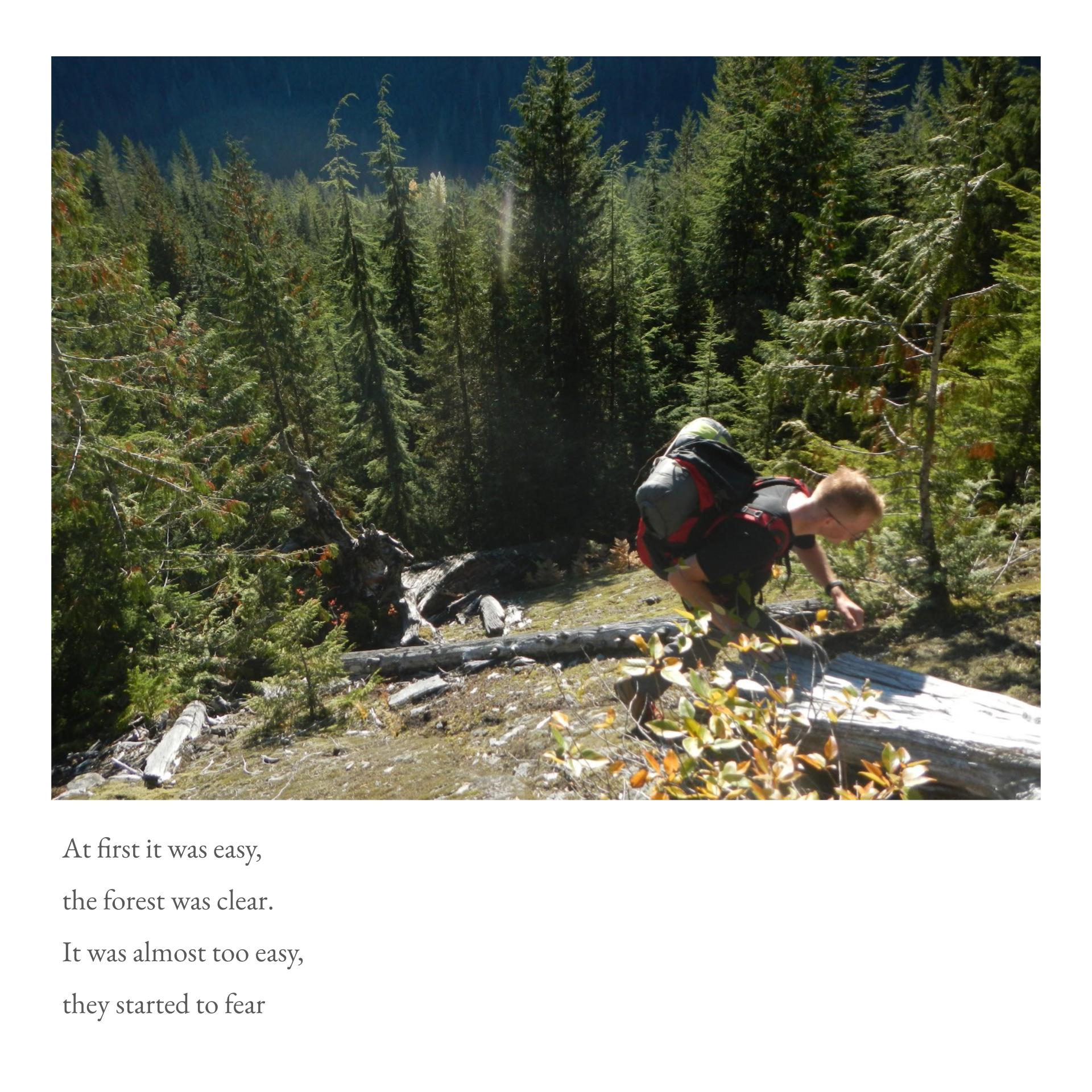
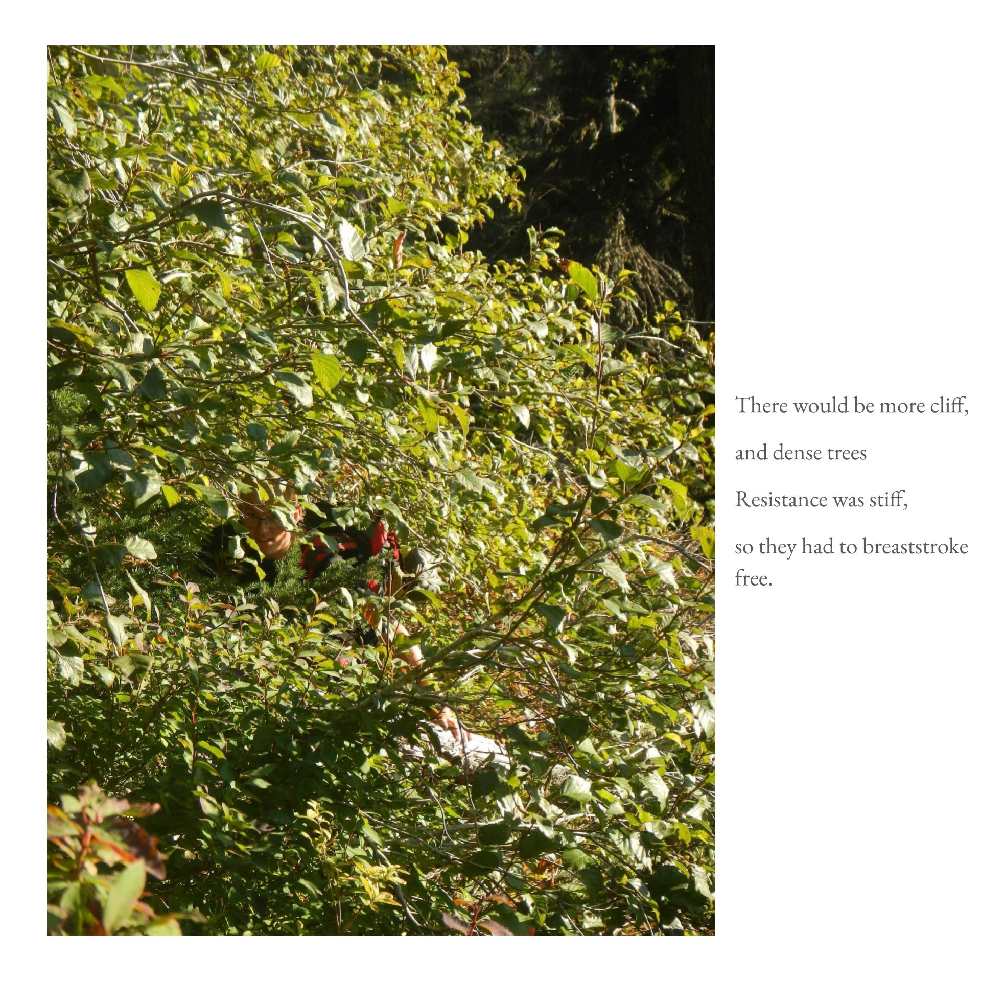
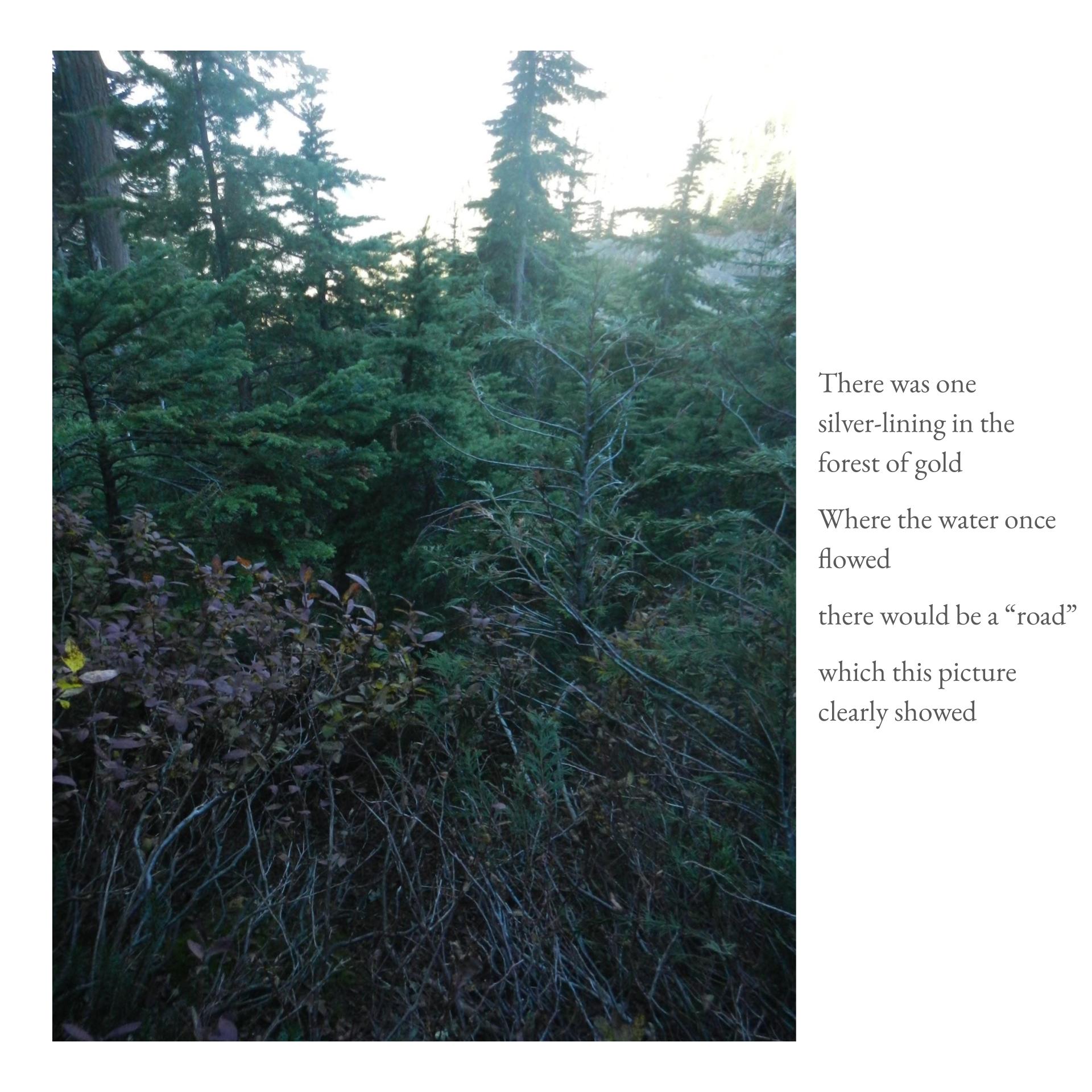
Our bushwhack began at ~1500H just past the first creek after the bridge. The forest was clear, we found an old road that provided occasional easy passage. Our game plan was simple: Just go up bro (i.e. follow a creek up to the lake). This tactic made navigation relatively straightforward once we found the right creek. The cut-block forest we wandered into was noticeably nastier, and in hindsight easily avoidable. We found some cliffs, but they were passable and in hindsight also avoidable. The forest up to the second cliff band was generally good; it was either open understory, or abdomen-height blueberry bushes. Forest after the second cliff band required proper breaststroke technique; the forest was composed of dense blueberry or short, dense coniferous trees.
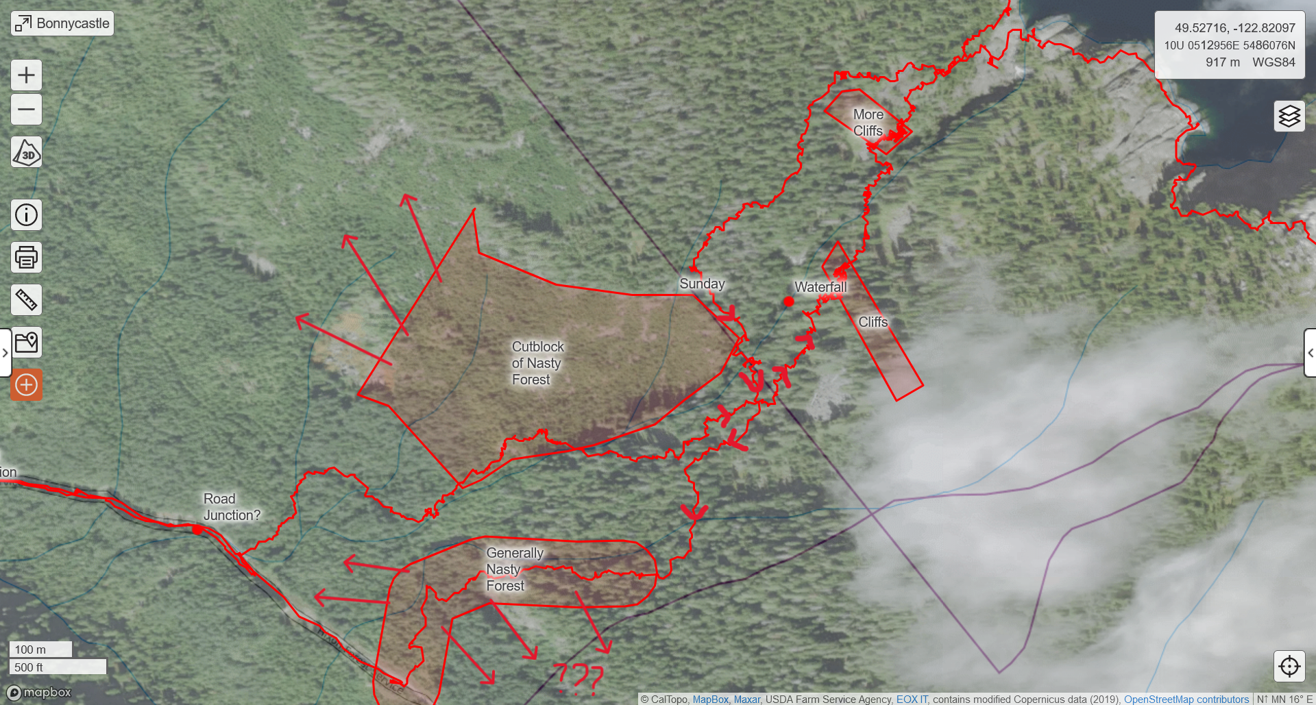
Uptrack and downtrack showing vegetation and cliffs to avoid
LEARNING POINTS: Creeks are good handrails to ease navigation. http://www.bcforestmap.com/ is a useful resource to gauge passability based on forest age. Remove loose items from your pack’s exterior, they will disappear in the bush. Tape your shoelaces.
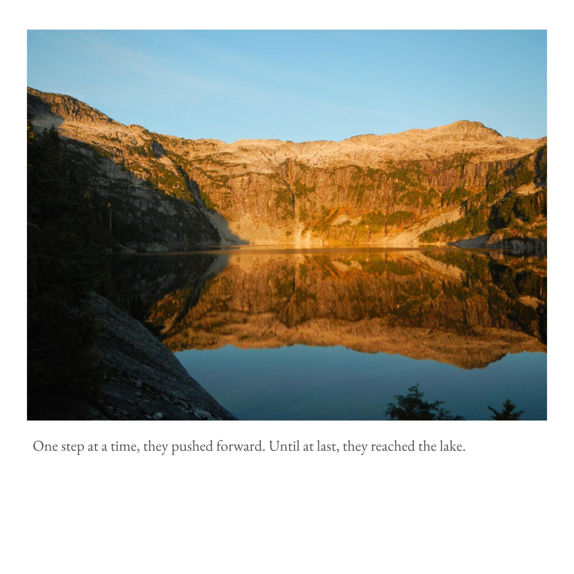
We make it to the lake at 1800H after 3+ hours bushwhacking time. Sunset colours were truly stunning. We decide to push the ridge. We follow a boulder field up. It turns into a bouldery stream. Easy passage but lots of elevation gain. My legs get fried at this point; Cameron seemed unphased and motors on. We find the juiciest blueberries which felt like power-ups and kept us going.
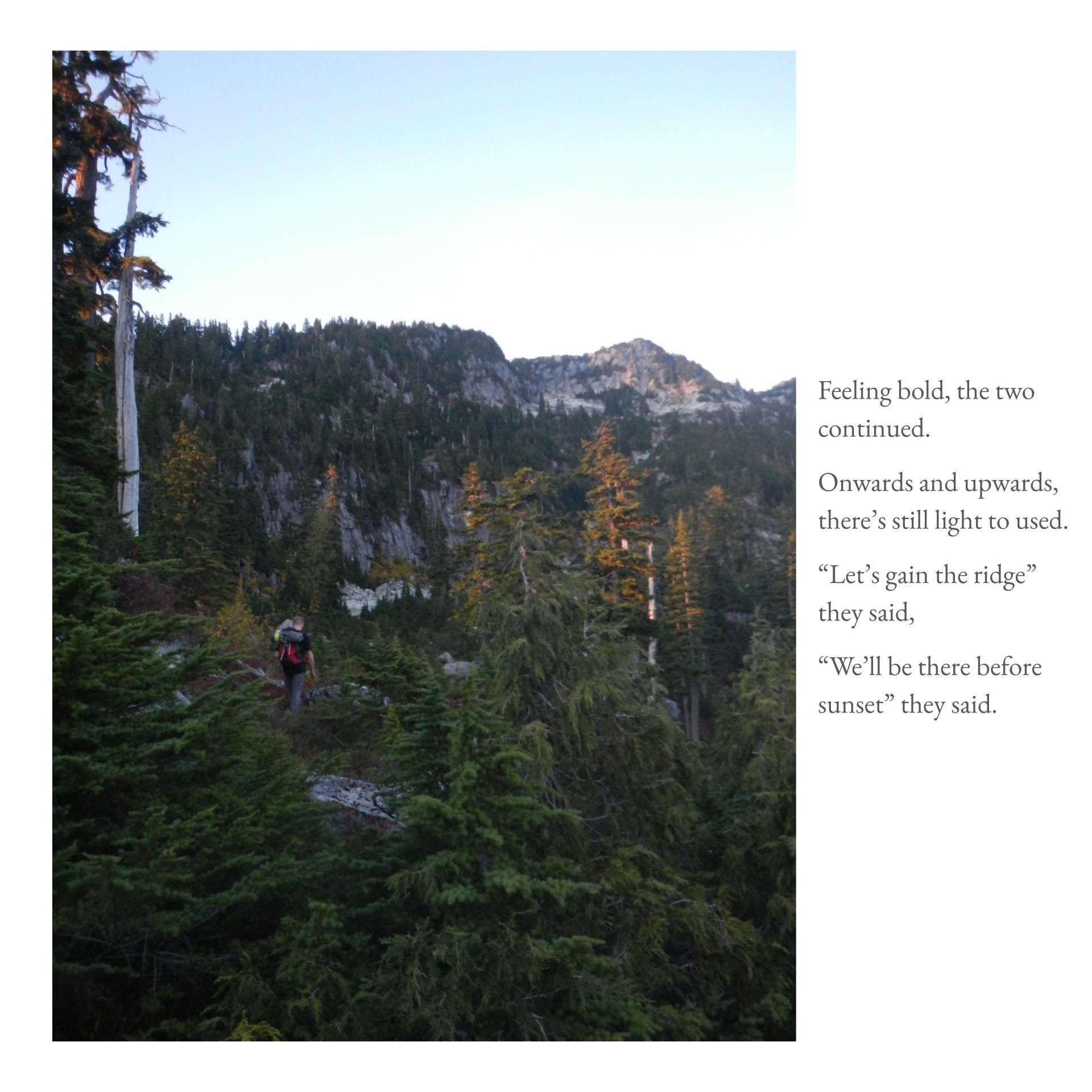
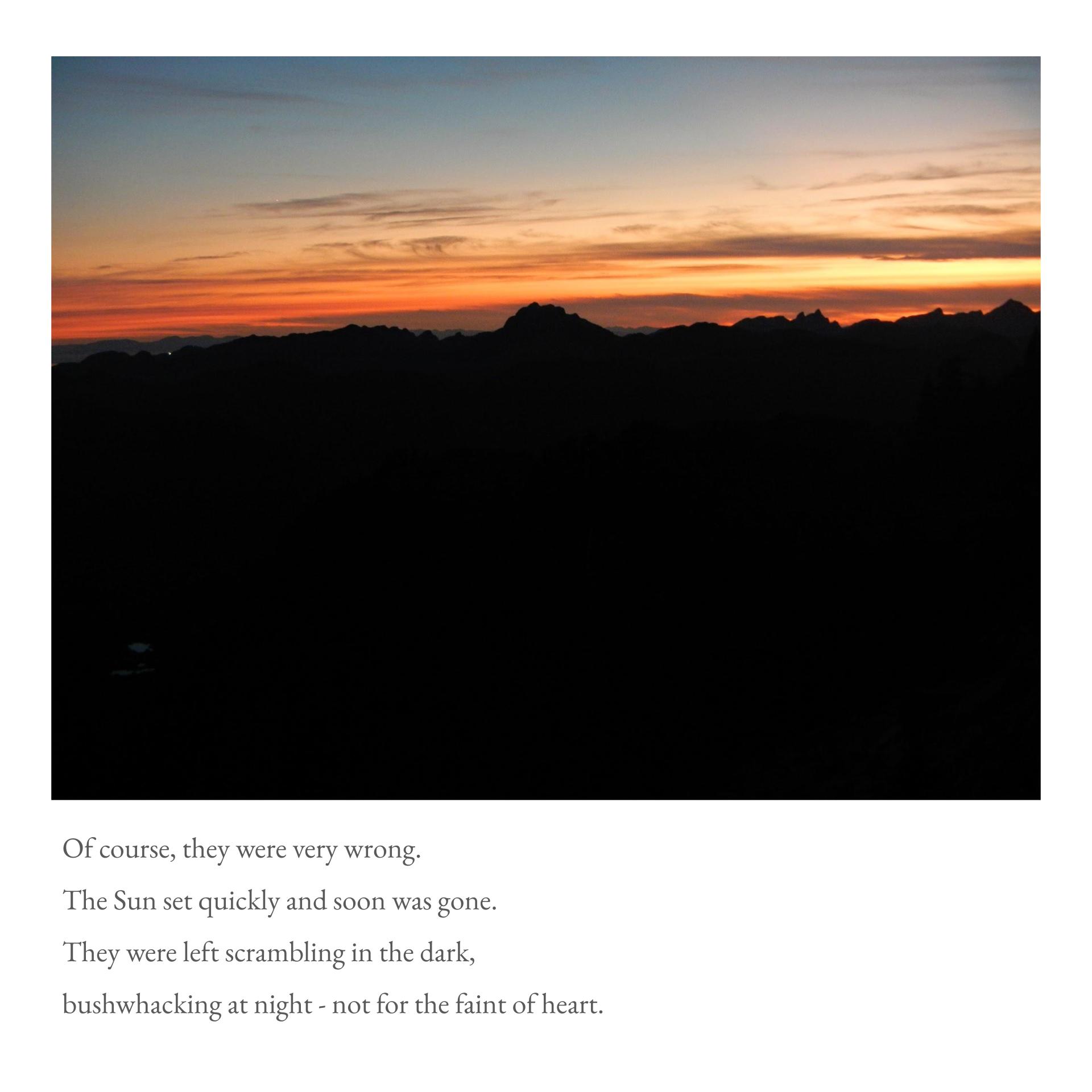
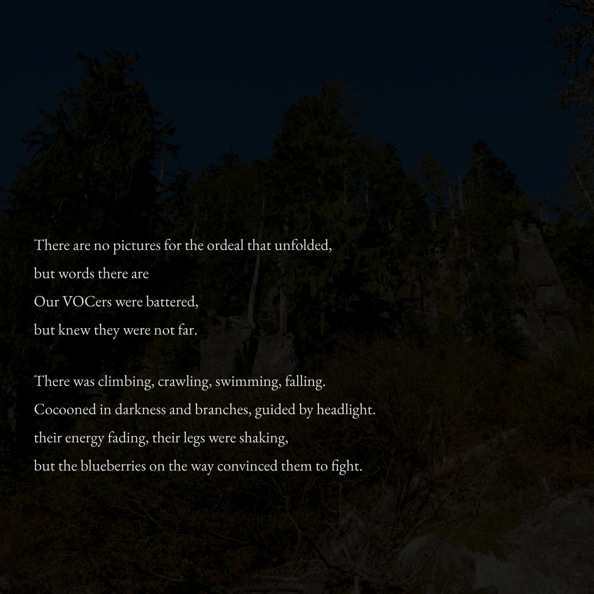
The stream dissolves away. We’re in a bowl feature with a treed ridge to our right. This ridge will eventually lead us to the false summit we spend the night on. The Sun has now set in earnest, so headlights come out. The way is a mix of easy, semi-exposed scrambling and fighting through thick trees. We discovered route-finding in the dark, in a sea of branches, is difficult as one can illuminate terrain no further than the branches in one’s face. As such, we manage to find the steepest (most efficient right?) route up the false summit. There were delirious thoughts of sleeping right there on the side of the mountain, thoughts of cowboy camping at the summit.
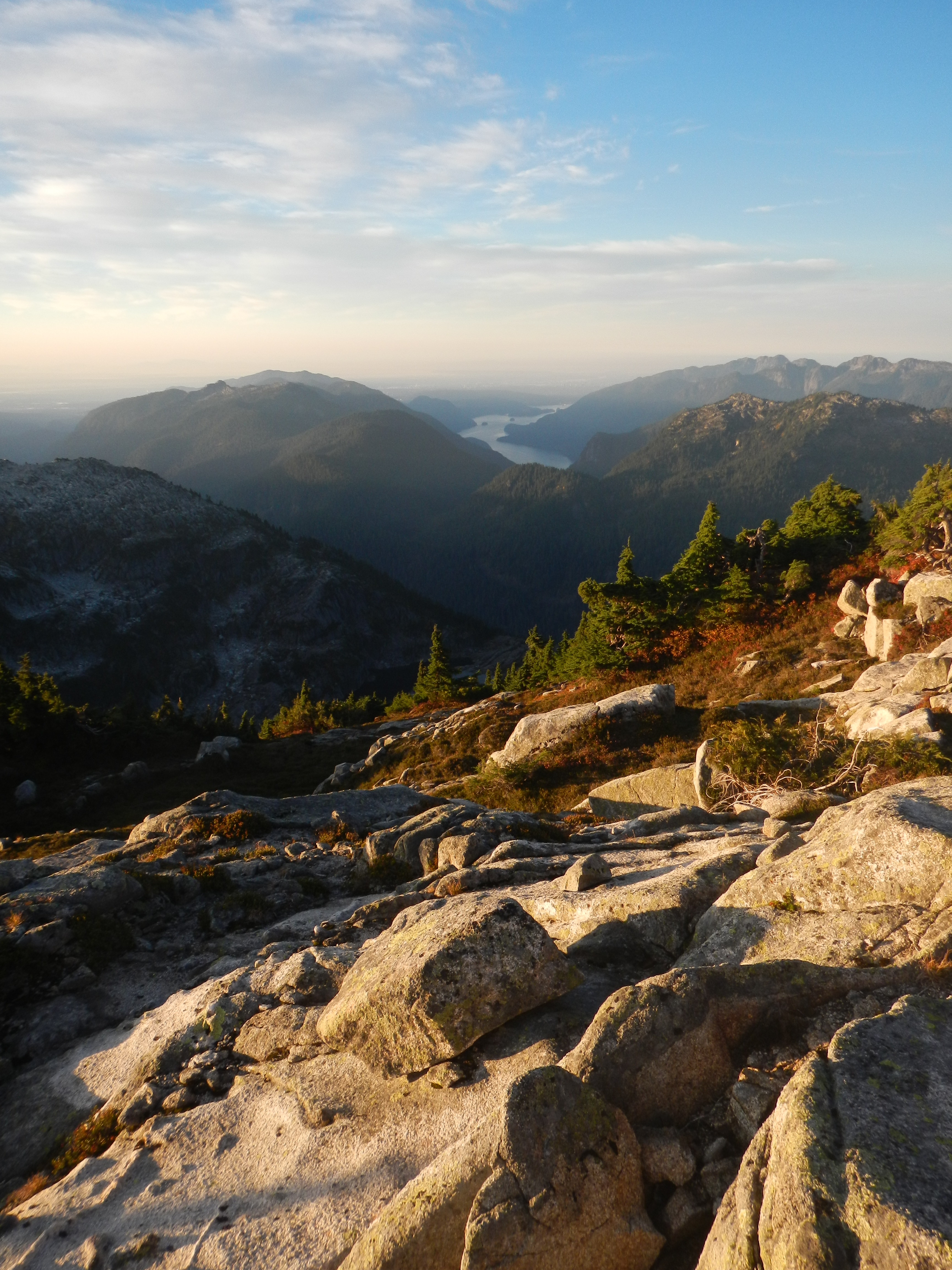
At some point, we falsely summit and pitch camp. The Moon bathes Meslilloet and our surroundings in ethereal light. Bonnycastle-proper loomed to the east. The Five Fingers and Judge Howay silhouetted the horizon. We stood there looking at the city lights and the stars and wondered “What are we doing here?” FSR to “summit” took 5+ hours. Sleep sounded very appealing.
0640H, October 13th. We wake up, the Sun is just heating up the sky with a gradient of orange to blue above the mountains. The air is crisp. Very lazy, slow start to the day. Leisurely eating food, conserving the little water we had left. We could have gotten on our game and started packing, but we just froze and watched the sunrise. I check the time, it was already 0720H. We quickly pack up.


It doesn’t take long before we summit Bonnycastle. The Sun is flowing into the valleys below, God rays stream off the Five Fingers. Over the next hour, we scamper along the ridge wrapping around Lake Barnes. It’s slab paradise and easy route-finding. We move fast to allow time for the bushwhack and paddle that lay ahead.
Coming off the ridge sent us back into some dense trees. We found dried up water-tracks offer easier passage through the bush. Several cliffs presented themselves, they were all circumventable. We replenished our water at the lake and looked for a good place to start our descent. Terrain around the lake outflow was quite cliffy. Best point to cross was at the very start of the creek.
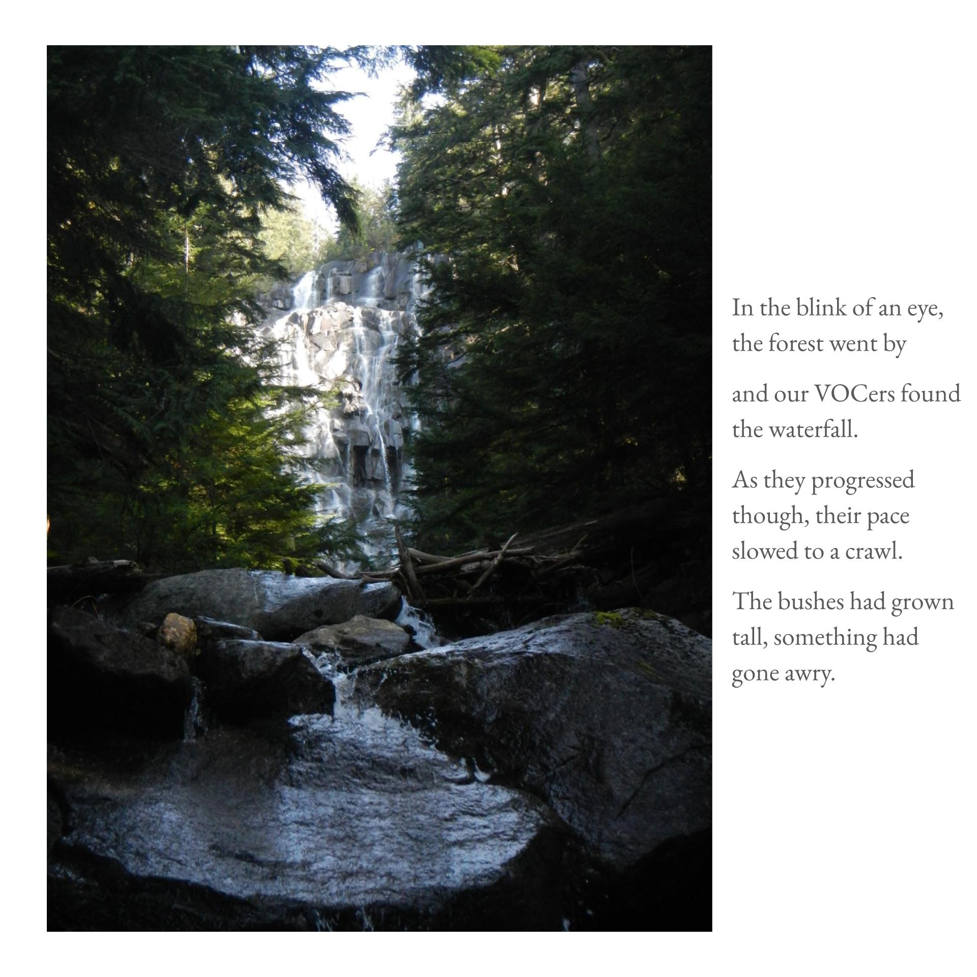
We mostly follow the fall line and water tracks. This made bushwhacking down is much easier as the vegetation/branches were mostly pointing in the direction of travel; it felt like we could flow downhill. Unsurprisingly, our tactic of being water funnelled us into some sizeable ravines. Luckily, the ample amount of blueberry bushes provided solid holds. Before we know it, we run into the cut block so we cut towards the creek. We cross the creek below the waterfall this time. No cliff bands on the west side of the falls which was nice.
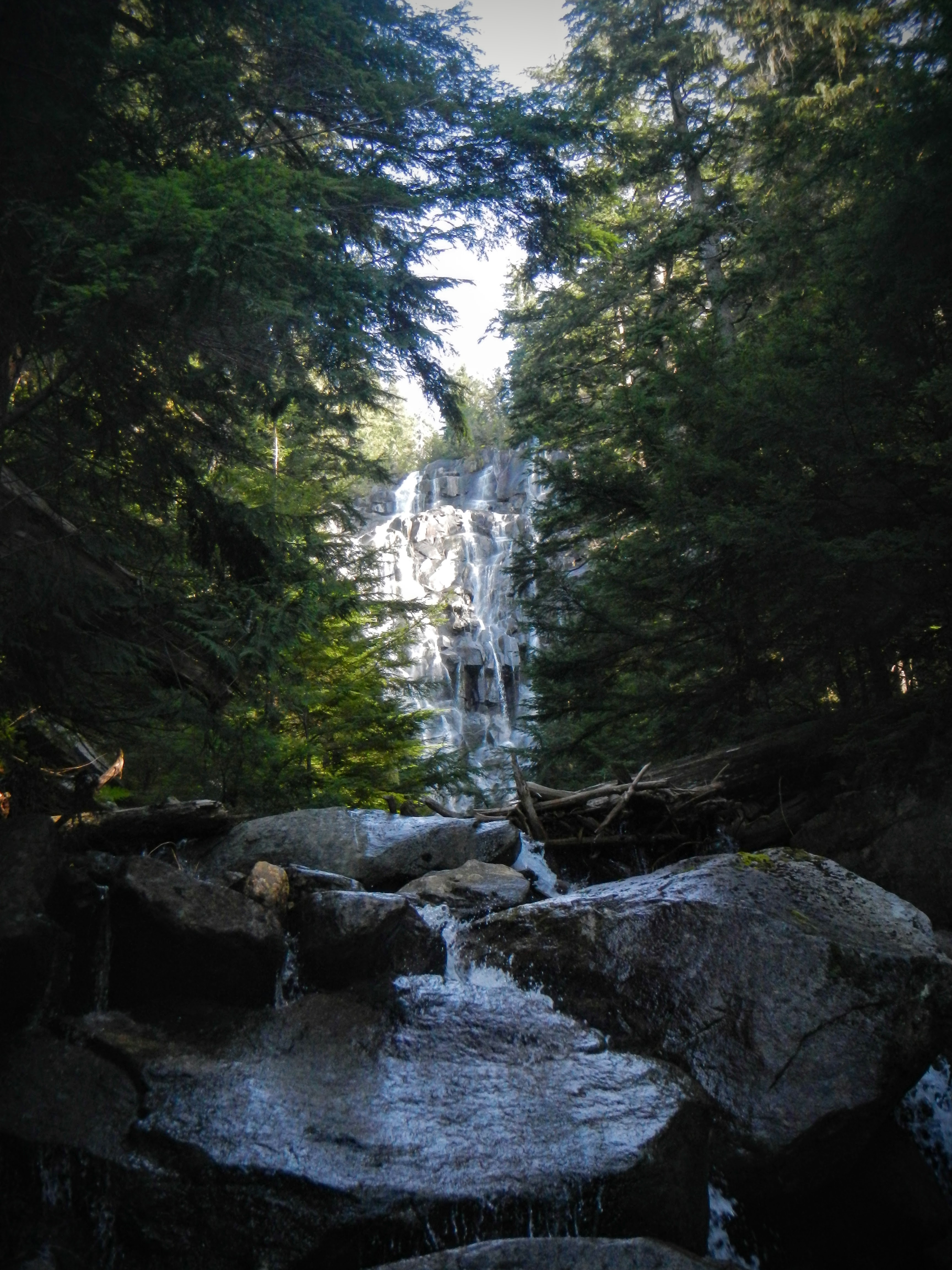
The iconic waterfall that is in every Bonnycastle trip report, and is a solid locating landmark
The bushwhacking felt tougher on the way down even if we were in the same bouldery area east below the falls. We took a 90 degree turn in search of better forest. We did not find said forest and ended up cutting to the east-most stream (which was one big stream with many small streams running next to it) and followed it down. Forest got denser as we went. Some sections felt swampy. Terrain flattened out and the canopy cleared a bit suggesting roads ahead. This clearing was actually a bog. We emerge from the forest at the crest of a hill. Maybe 300m down-road of our entry point. In these 300m, the forest got significantly denser. Avoid the forest past the hillcrest.
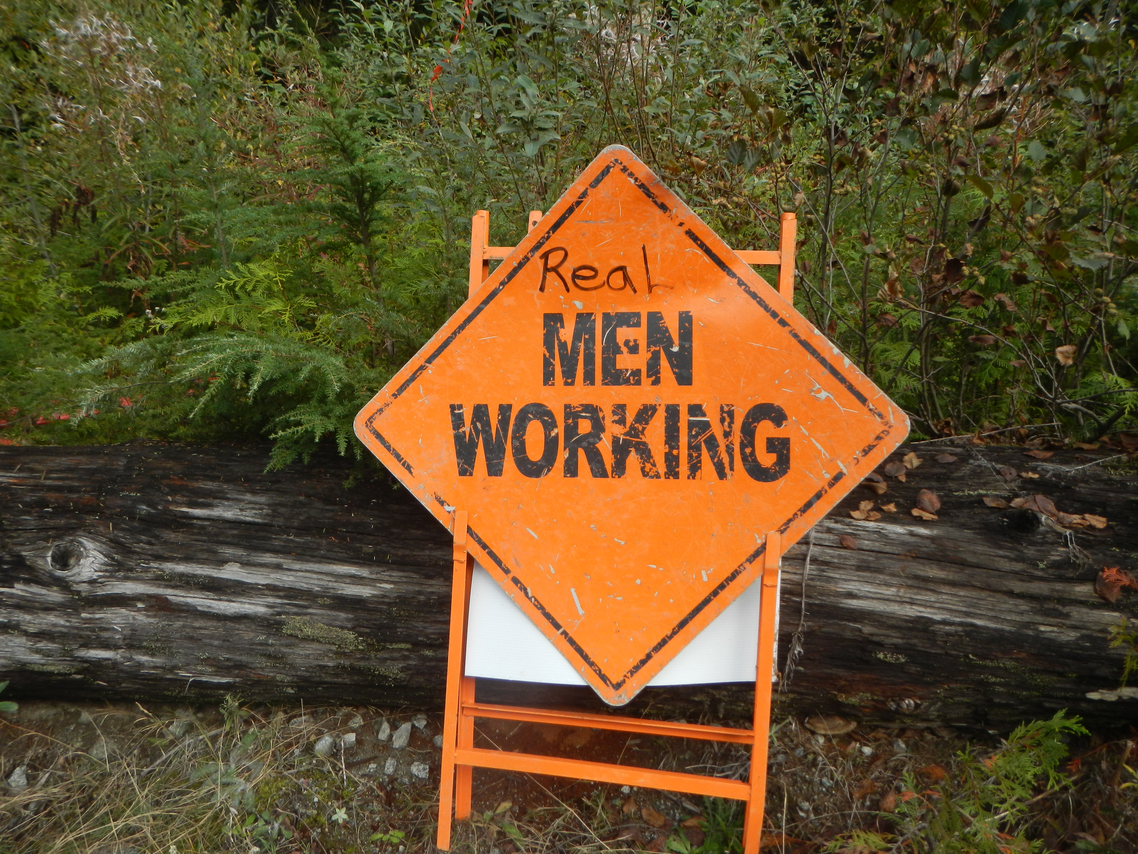
This sign captured our feelings after emerging from the forest
LEARNING POINTS: Water tracks are basically trails on the descent. In slow forest, making progress is faster than precise navigation given you have catching features.
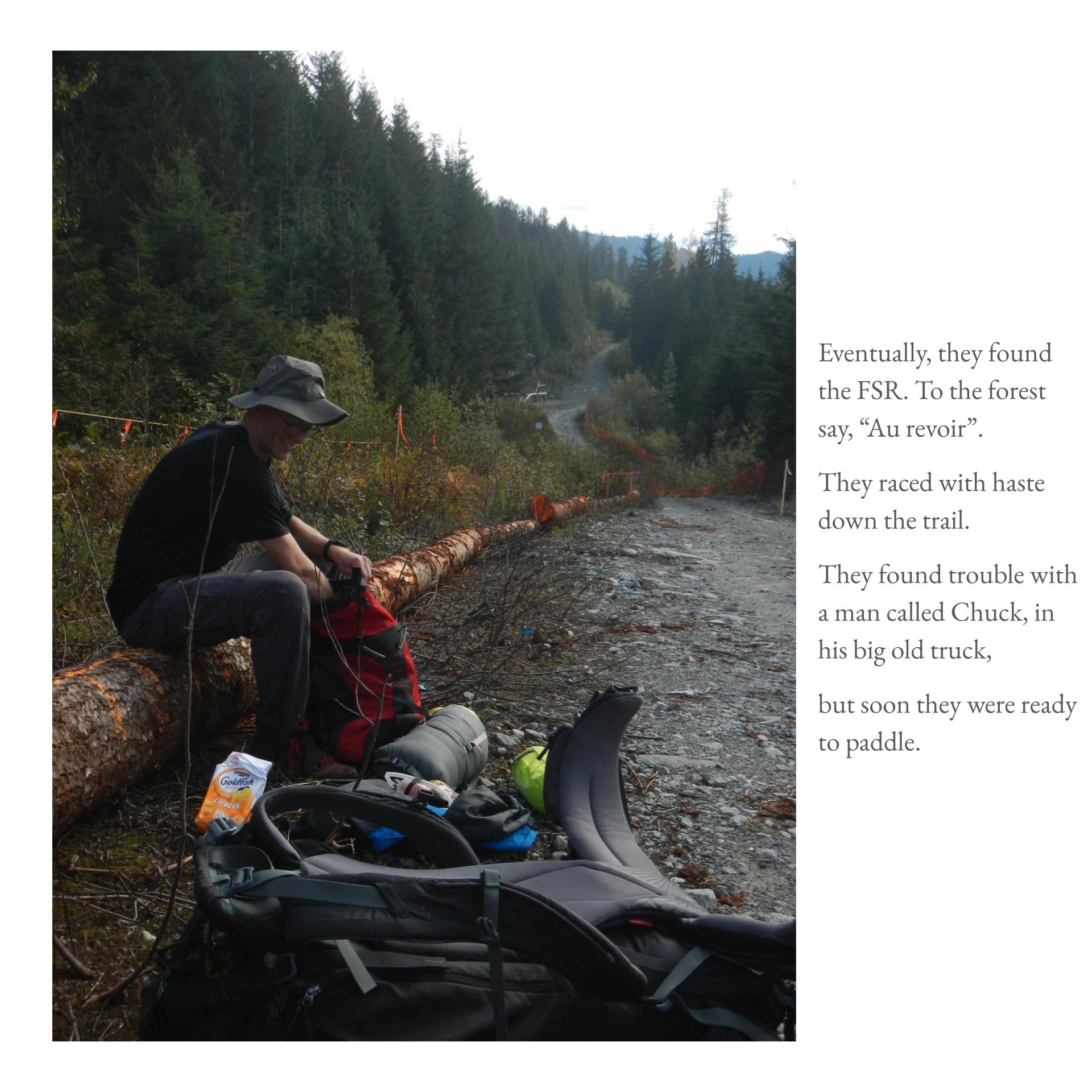
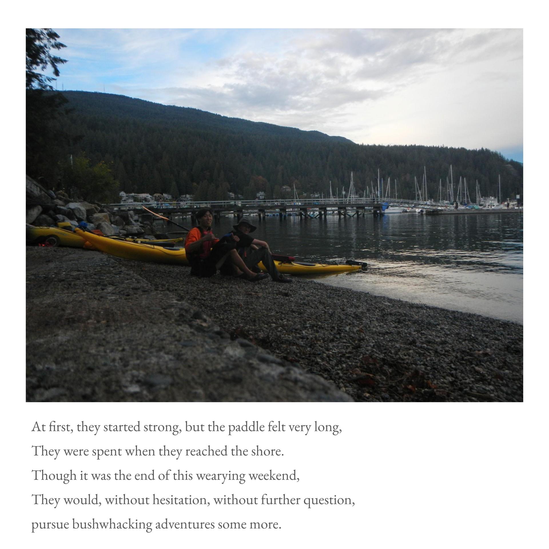
We fly down the FSR uneventfully with one exception. 1km from our kayaks, we are stopped by security on the road. They ID us. We learn that the FSR is closed for construction. We start our paddle at 1500H and have prime conditions again. We wonder if we will catch the big VOC trip. This hope is dashed as we start crashing. My brain goes into sleep mode. We regress into the watery pain cave. 1800H: The Sun is setting as we make it ashore (or I should say as we got washed ashore).
LEARNING POINT: Keep some food and water easily accessible and not under hatches. FSRs are not always open; Check this FSR Map of BC for FSR status before going. Find out who’s land you are on; Important to acknowledge native land and ask for permission before passing through.
I closed this trip with a long-forgotten feeling of liveliness. I couldn’t help but ask why trip sparked such a feeling. Was it the process of discovering what I’m capable of? Or the result of feeling capable or confident? Was it accomplishing something I’ve set my mind to? Was it the feeling of control as I forged my own path? Maybe my motives were more ulterior; I’m seeking the approval of others or trying to impress or I’m looking to stand out? Maybe this feeling simply stems from spending time with a friend? Or from being in nature as opposed to being cooped inside?
Recently, I’ve found I’ve attached my liveliness to the ability to be outside. As a result, school and work have become really tough. The underlying reasons for this situation I have yet to deeply examine. Maybe it’s a matter of maturity or foresight or gratitude. There are many questions and not enough answers.
In the meantime, I encourage everyone to truly ask: What do we seek in the outdoors?
Trip Stats: 45km hiking & 37km paddling round-trip, 1700m gain, 14.5 hours moving time.
Loved the report! Good effort on the picture book style and rhyming scheme, might not have scored well in a poetry class but in the VOC this is peak literacy and creative output.