Participants: Ross Campbell, Tom Curran, Cassandra Elphinstone, Birgit Rogalla, and Vincent Hanlon
A few months of covid-induced cabin fever made it difficult to concentrate by the time June came around, and the occasional tame trip without friends for company hadn’t done much to relieve it. When things started opening up, Birgit and I plotted our escape, with the idea of finishing off the Pinecone Burke traverse we began a few years ago. Unfortunately, the city hasn’t yet negotiated access past the secret evil compound (or maybe past the rednecks that guard it: link) to the new park they’re creating in Widgeon Marsh, so a canoe pickup is still required for the traverse. Worse, the park was for some reason one of the few where backcountry camping was still banned, so when we contacted Ross, Tom, and Cassandra about getting out of town for a week we didn’t know where we would go.
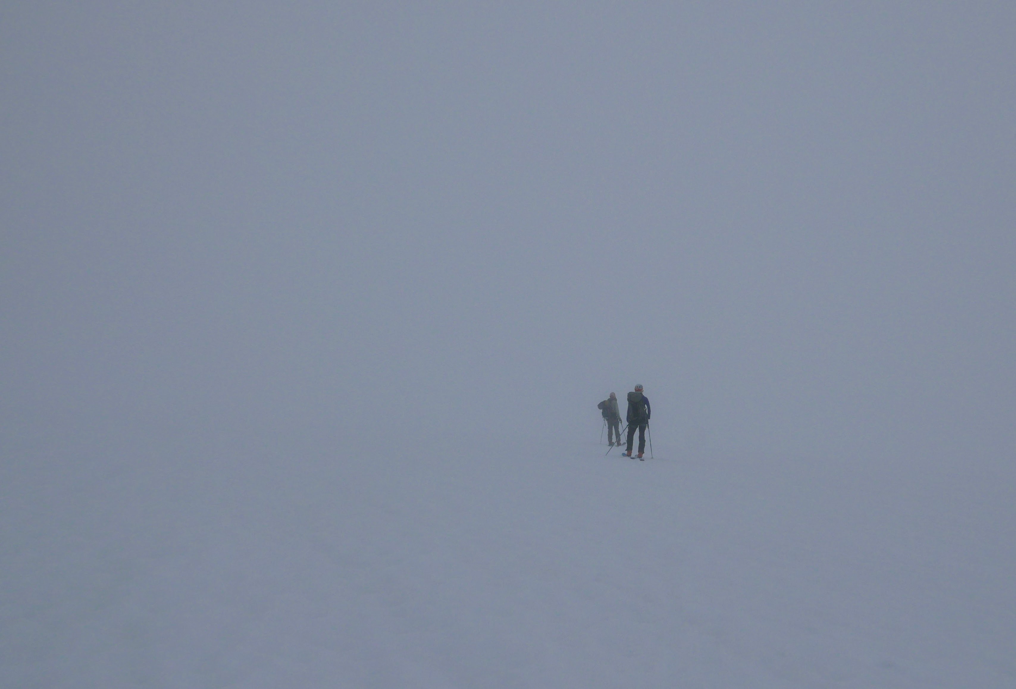
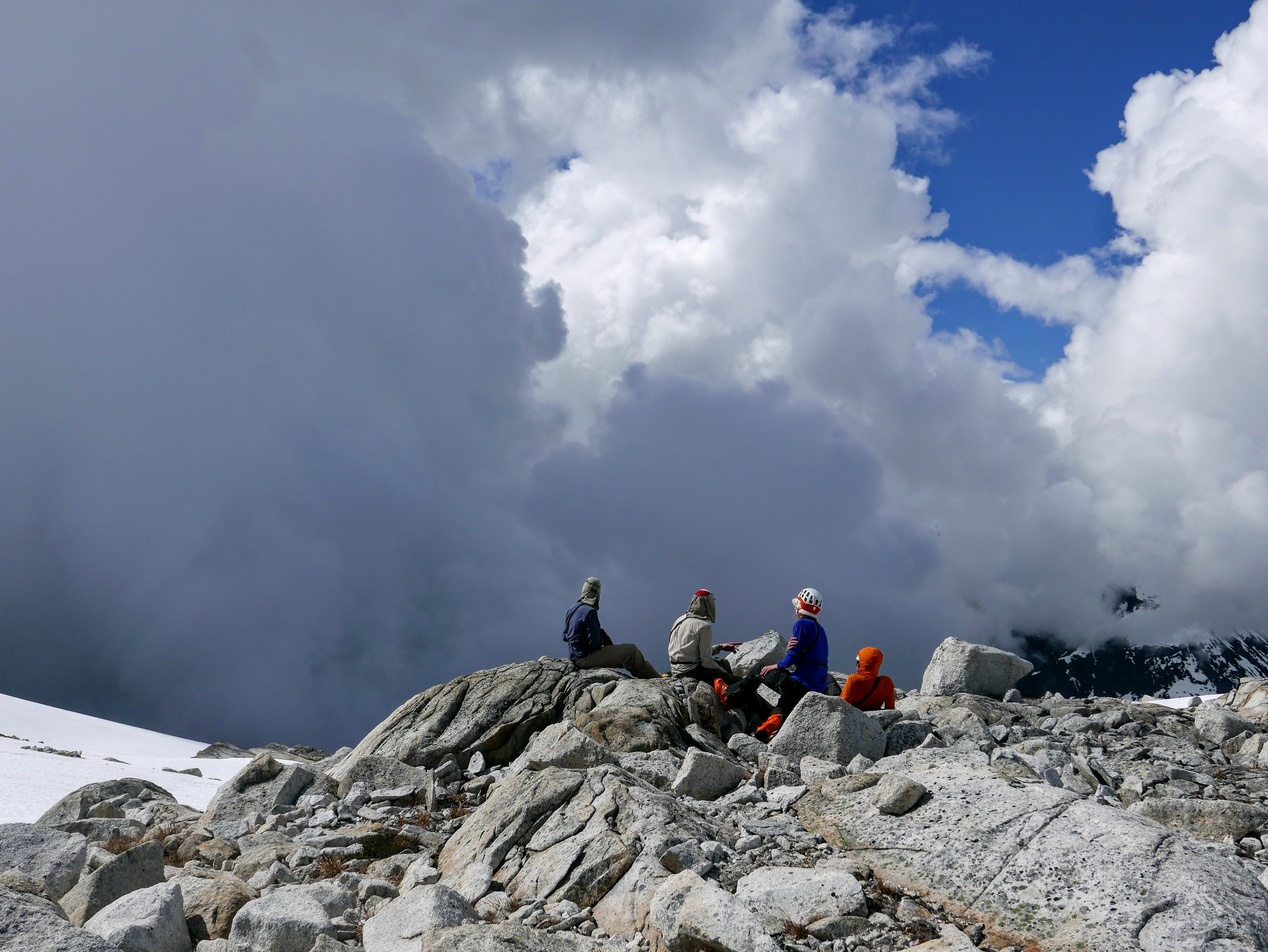
We are unsure where we are going, just like us in this whiteout in the future
Desperation, a good weather forecast, and some academic deadlines led us to choose the week of June 27-July 5, and for some reason we left the choice of destination until the Wednesday before our departure. Many ideas were floated, but with a deep summer snowpack we decided to try skiing the Lillooet Icefield. Access involves fording Salal Creek (basically impossible at this time of year, apparently), but a helpful tip from South Coast Touring led us to choose a secret alternate route across (if you’re planning on going there, email me for details). Much faff followed. The weather forecast became as unstable as the new road toward Harrison Hut, changing every few hours from “perfectly sunny” to “rain and thunderstorms all week”. At lunchtime on Friday Birgit figured out the secret—-small variations in the predicted position of a high-pressure system hovering just off the coast meant that we were either just inside the system (good weather) or just outside it (bad weather)—–and we proposed heading to the west coast of the Island (uncharacteristically sunny, stable weather) for a scrambling trip instead. We rushed to research possible destinations and put it to a vote at 7 PM on Friday… Such faff! The consensus was still to try the Lillooet Icefield, although the forecast gave us maybe half a chance of good weather.
The next morning, half an hour past Squamish, Tom realized he’d forgotten the second glacier rope and we turned around. A friend let us break into her garage to borrow one, and soon we were rolling back up the Sea to Sky towards Pemberton. We drove up Lillooet River FSR for maybe 25 km and then saw something odd—-a cardboard sign on a ribbon across the road, reading “ROAD CLOSED”. We parked and walked past the sign until we came across a digger filling up a big dump truck with chunky tires. When we asked the driver whether we could make it past, he told us the river had removed 200 ft of the road sometime on Thursday and that it would take two days of work until the big dump truck could drive through. He estimated it would be a week until cars were allowed to cross. So that was the end of that. Act of God.
Luckily we had a backup plan, with a sort-of GPS route and some info about access. Elaho Mountain and the 25-km stretch of glacier or icefield surrounding it are listed in Baldwin’s book as a late-season ski trip, approached from the head of the Elaho River. We decided to ski 2-3 days along the ridges towards the peak, summit a few things, and then ski back. We turned around and began the circuitous 4-5 hr drive back to Squamish and up the Elaho River, although our destination was only 30 km from the washout on the Lillooet River FSR as the crow flies. Ten minutes after turning around, we got a flat tire.
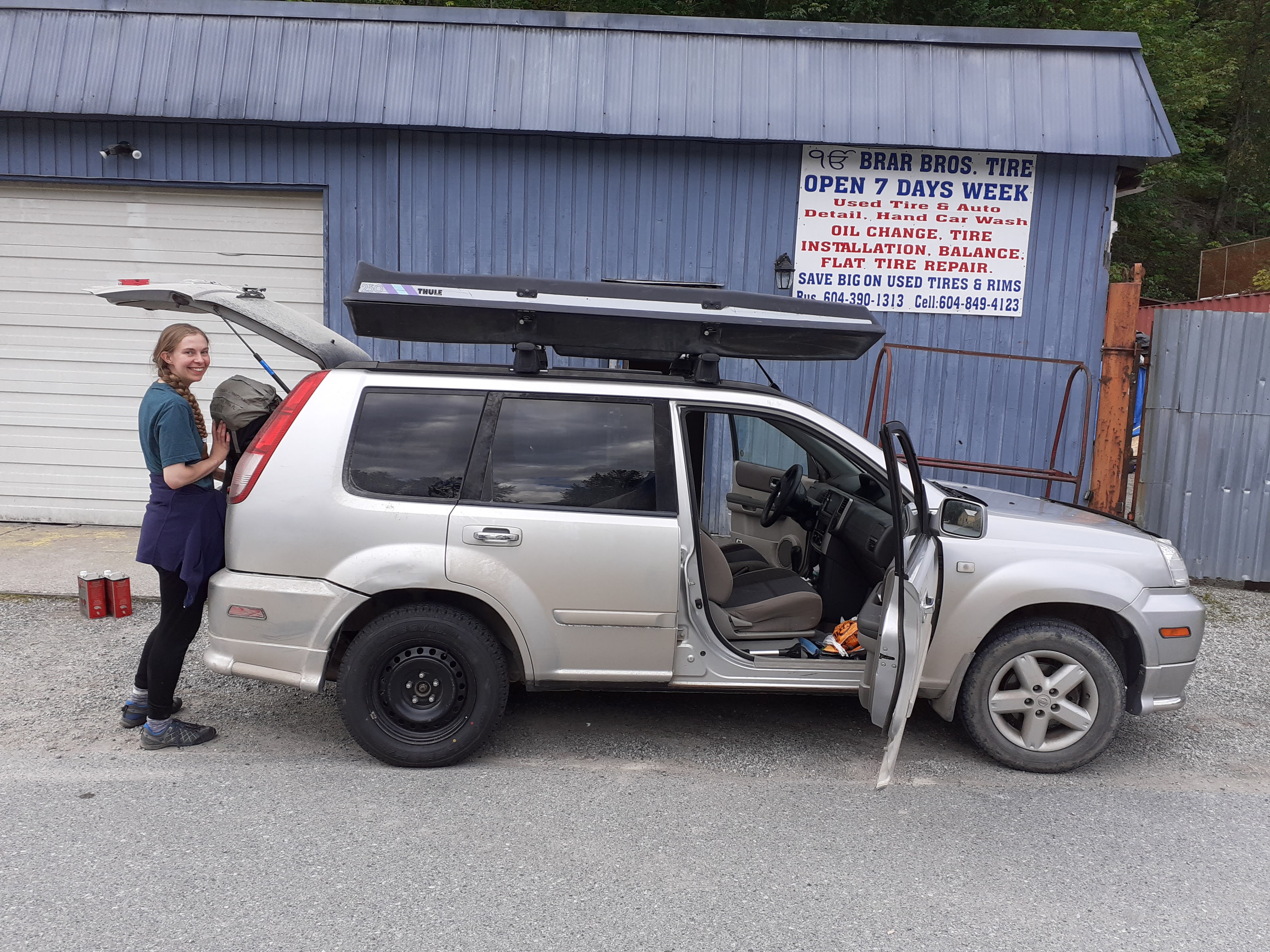
We jumped out of the car, threw out all the gear to access the spare, changed the tire, repacked the car, piled back in, and drove away to Pemberton, where we furiously googled (a) car garages and (b) Elaho Mountain info as we passed through. The garages in Pemberton weren’t open, so we drove to Whistler. Everywhere we called in Whistler and Squamish had a full schedule and no time for a flat repair. We drove through Function Junction, and simultaneously found a place in Whistler that could start the repair in maybe an hour and a place in Squamish that said (by phone) that they could do it anytime. To save time we drove to Squamish straight away and met the one-man operation with an open schedule. Things did not go smoothly. For one thing, he took one look at the tire and said it was toast and couldn’t be repaired. For another, he suddenly took offence at Ross.
At the unlucky car garage. Photo Tom.
We can only speculate as to why this might have been. Possibly the Arc’teryx logo on Ross’ jacket misled him to believe that Ross was a very rich man, and he just took general offence at the idea of dealing with such a ritzy person. Possibly he couldn’t make out the meaning when Ross said, in his Scottish accent, “you’re totally right, this tire is dead”, and believed that Ross had accused him of cheating us. Regardless, he went on a long rambling rant about his honesty, his work ethic, the poor repute of other mechanics, people with too much money like (presumably) Ross, etc. etc. After much placating he told us to buy new tires.
Tom and Cassandra drove off to buy new tires, and the mechanic hung out trolling Ross off and on before disappearing into the back. When they returned (without tires), Tom chased down the mechanic, who vacillated, saying maybe he would fix the tire after all, or maybe not—-occasionally ranting a little on his favourite themes—-or maybe we would buy a tire he had as a spare. Tom decided to buy the tire, then drove off to get cash. We sat around waiting… and waiting… until we saw Tom return. Walking. Sheepishly Tom admitted to having locked the keys in the car. Next we borrowed some wire from the mechanic and went to break into the locked car, paid the mechanic, picked up Birgit and Ross (who had wandered off to get a smoothie) and started up the Squamish Valley around 4 or 5 PM.
Water levels were high, so the bridge across Maude Frickert Falls was a soaker and the creeks at the fords farther up the road were raging. We debated turning around at the wildest of them, but eventually drove through to the end of the road at 550 m, where we camped in the mosquitoes and were rained on as we cooked our dinner. It cleared up a bit as we went to bed.
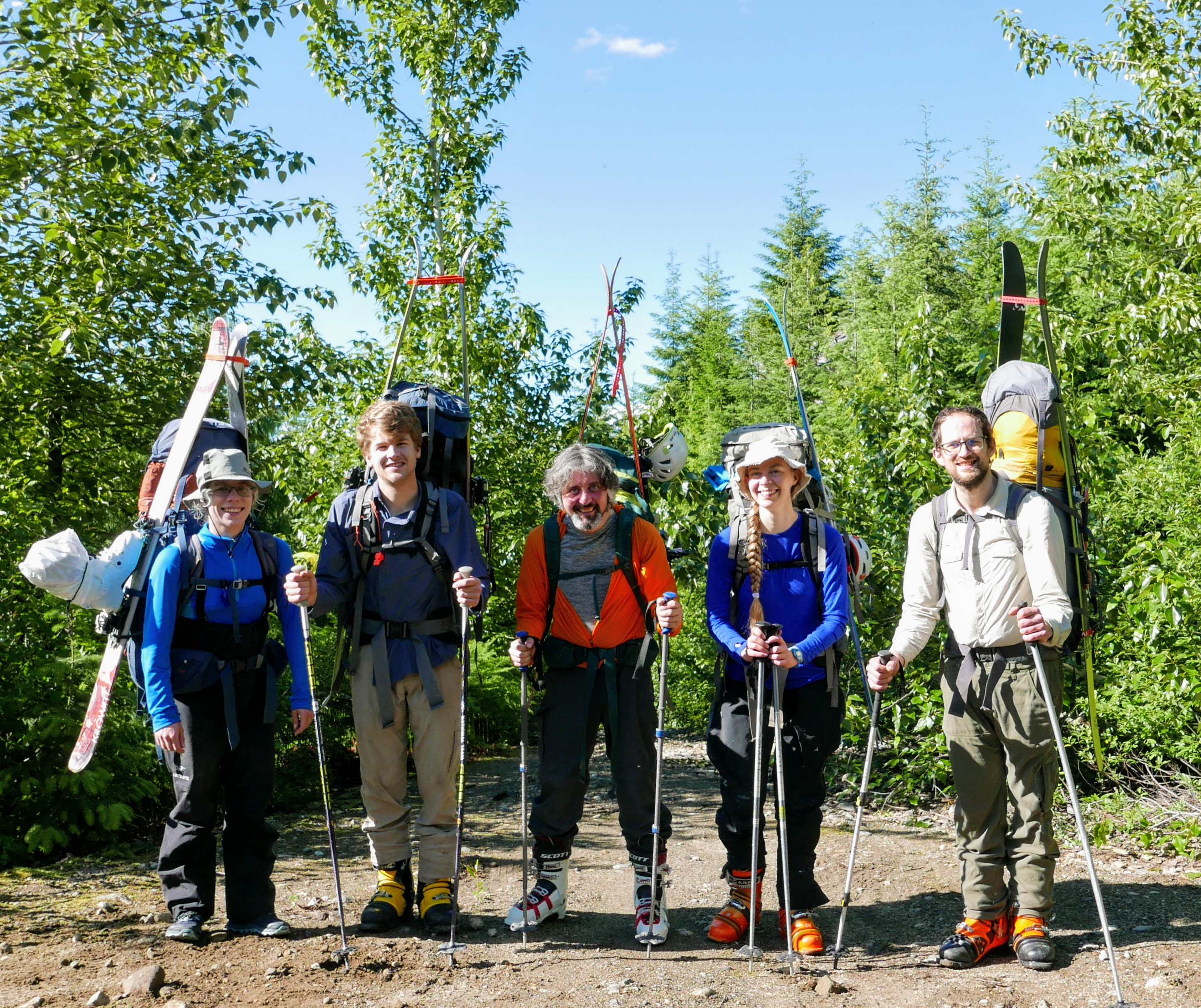
Ready to fight the bush
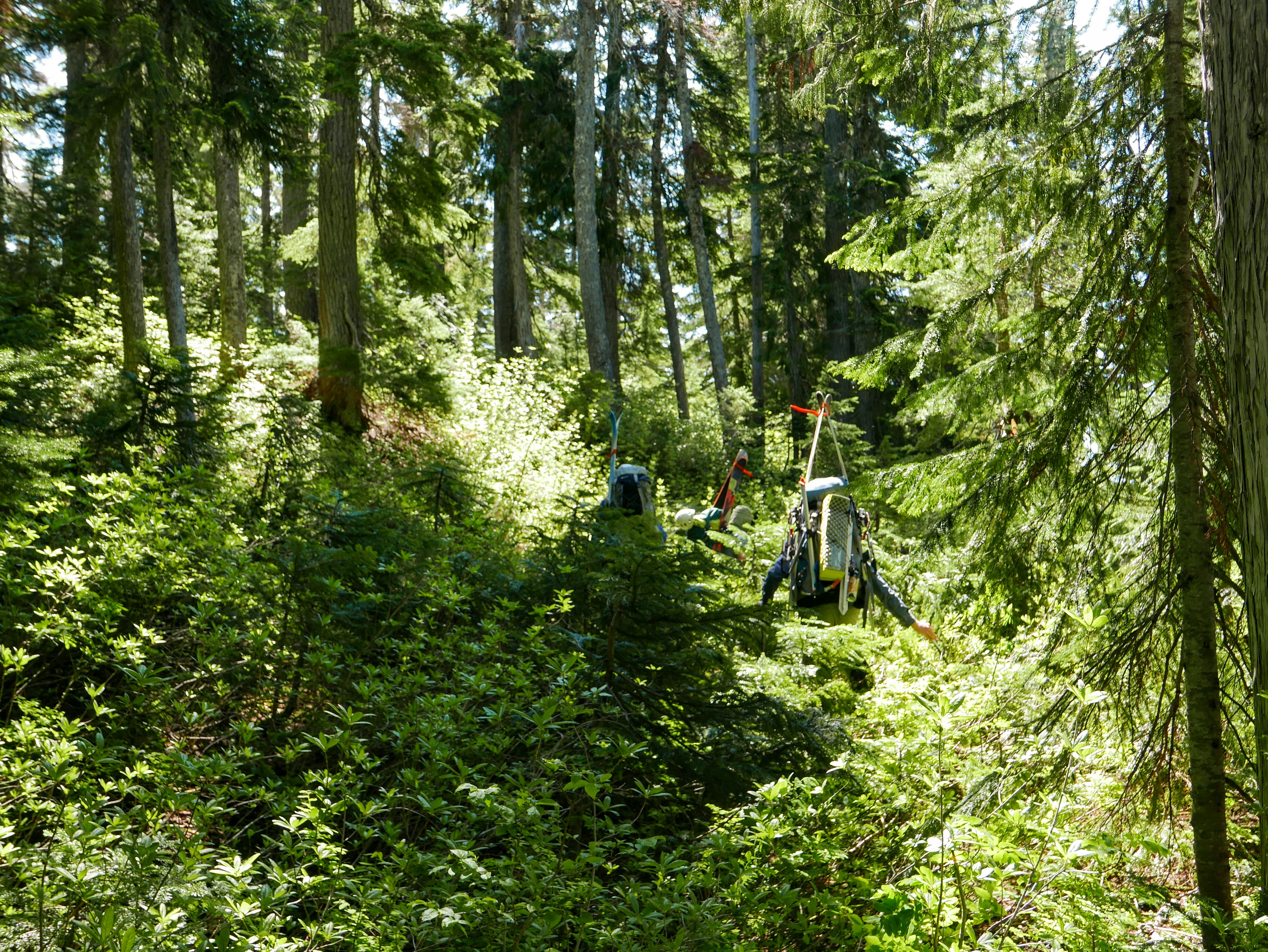
The next day we bushwhacked 5 km up the ridge to 1400 m. Our packs weighed 60-70 lbs with skis, ropes, crampons, and avalanche gear, so it was slow going. The bush wasn’t too bad until around 1000 m, where the canopy let in more light and we were wading through blueberry bushes in a cloud of biting flies. That evening our camp was perched on a bluff overlooking the Elaho Valley and the peaks to the west, from Exodus to Overseer on the Pemberton Icefield, as well as the Harrison Hut area and the Meager group farther north. But the breeze was too gentle to blow away the bugs, and summaries of the day ranged from “good to get out of the city” and “better than expected” to “the worst day on a trip of my life”.
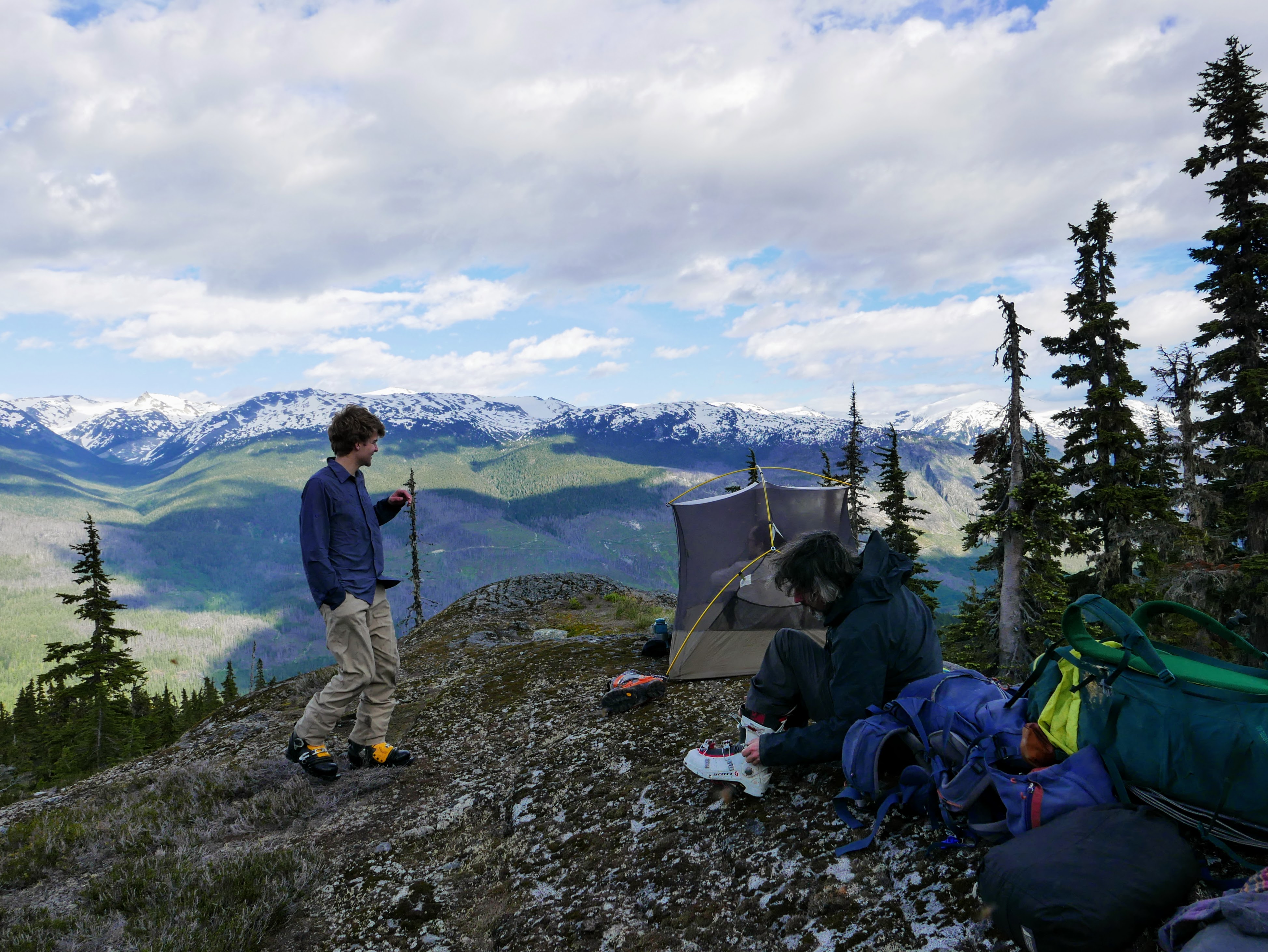
Camp the first night. The bugs, the bugs! We took basically no pictures during the hike, for that reason.
Early the following morning, Birgit, Ross, and I peered out of the tent to see Tom and Cassandra in helmets and harnesses, dangling towards the edge of a cliff as they reckoned with the consequences of the first big decision of Cassandra’s 26th year. She had used Birgit’s parachute cord for the bear hang, which held whatever wouldn’t fit in the three bear bags, tying the cord to a tree and lowering the food over the cliff. In the morning, she found that the cord was too stretchy and the load too heavy to retrieve! Eventually, they settled on a progress capture system to haul it up. The cord snapped while hauling the food over the lip of the cliff and the bag plummeted to the ground, where a pot released the items it had been storing (it had been on the outside of the backpack) and some bags of oats and lentils burst internally.
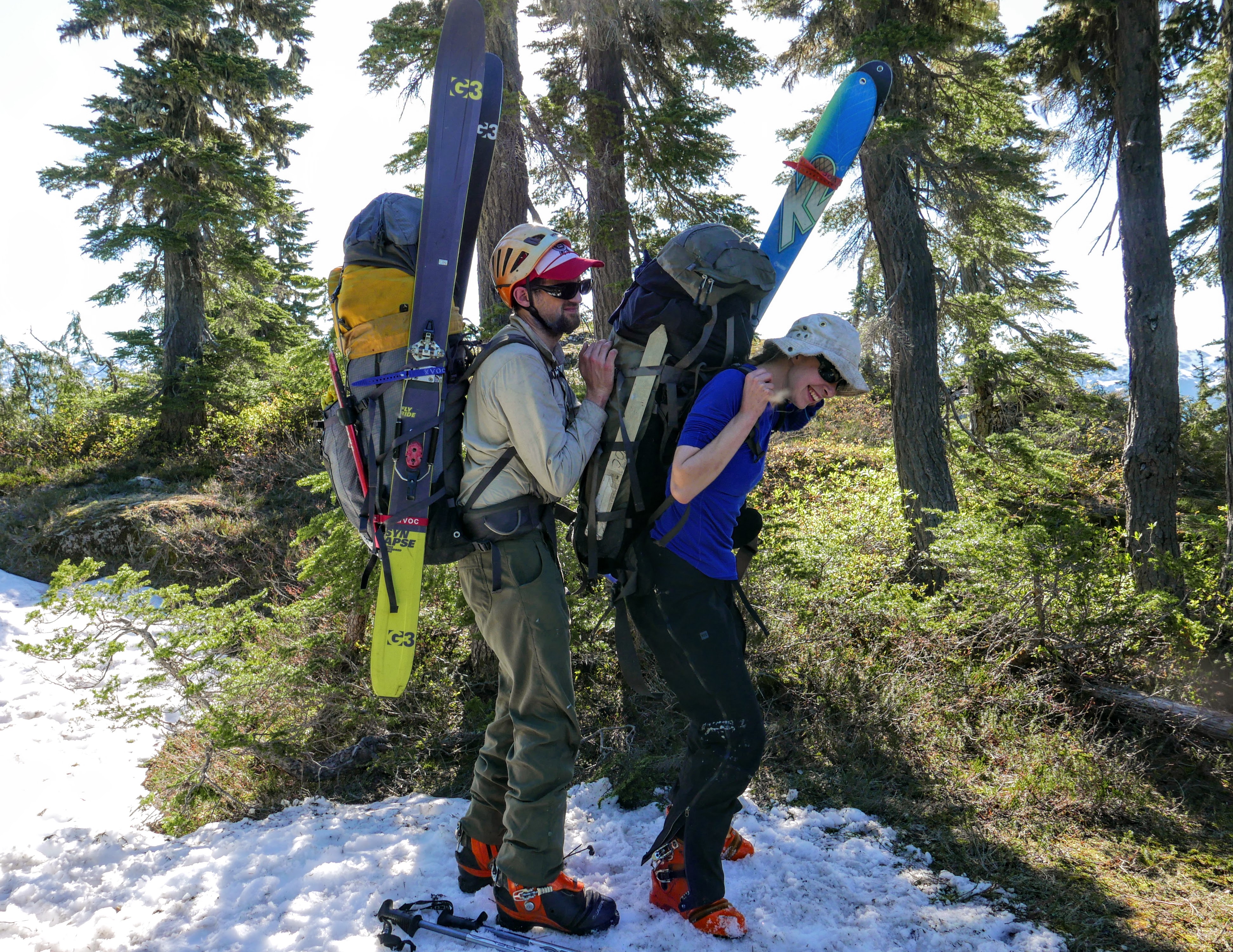
Packs were heavy
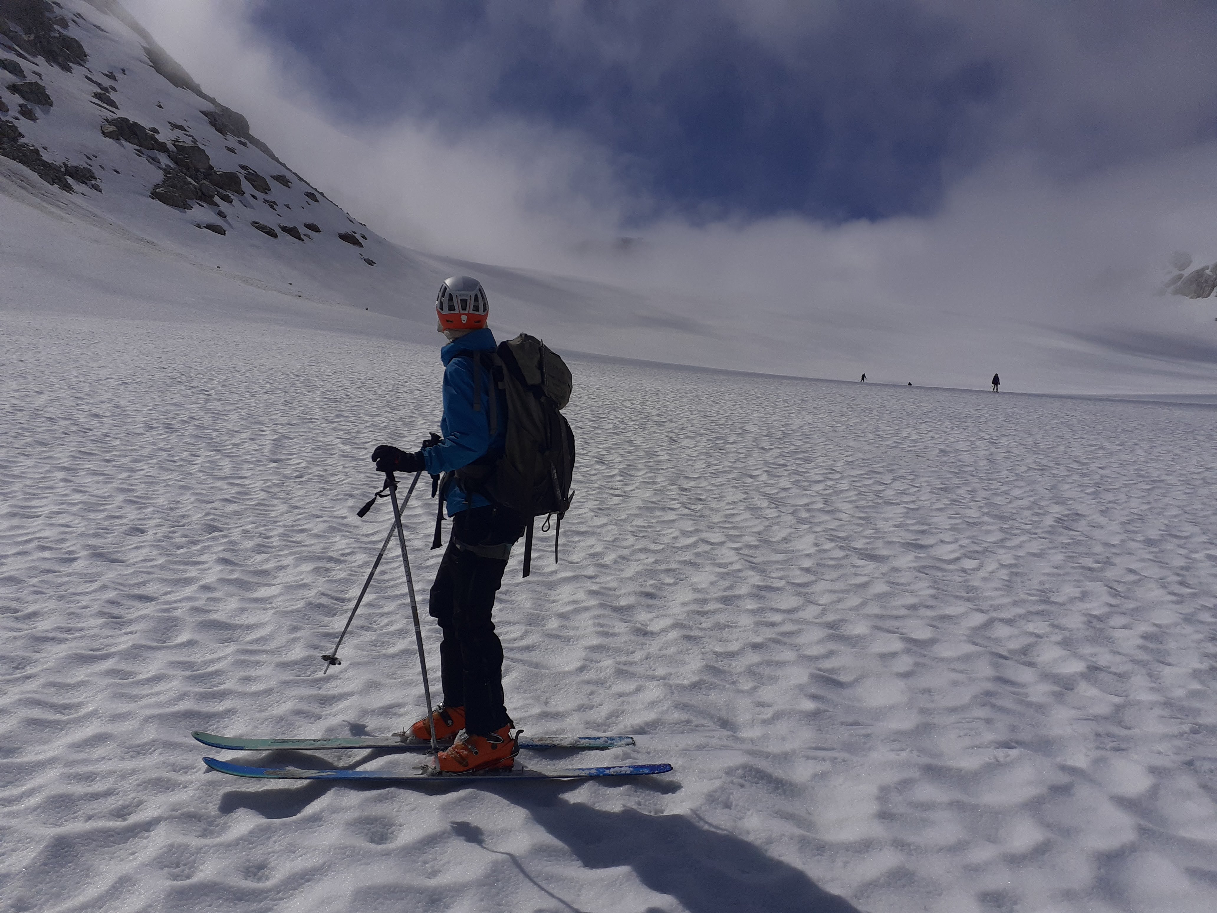
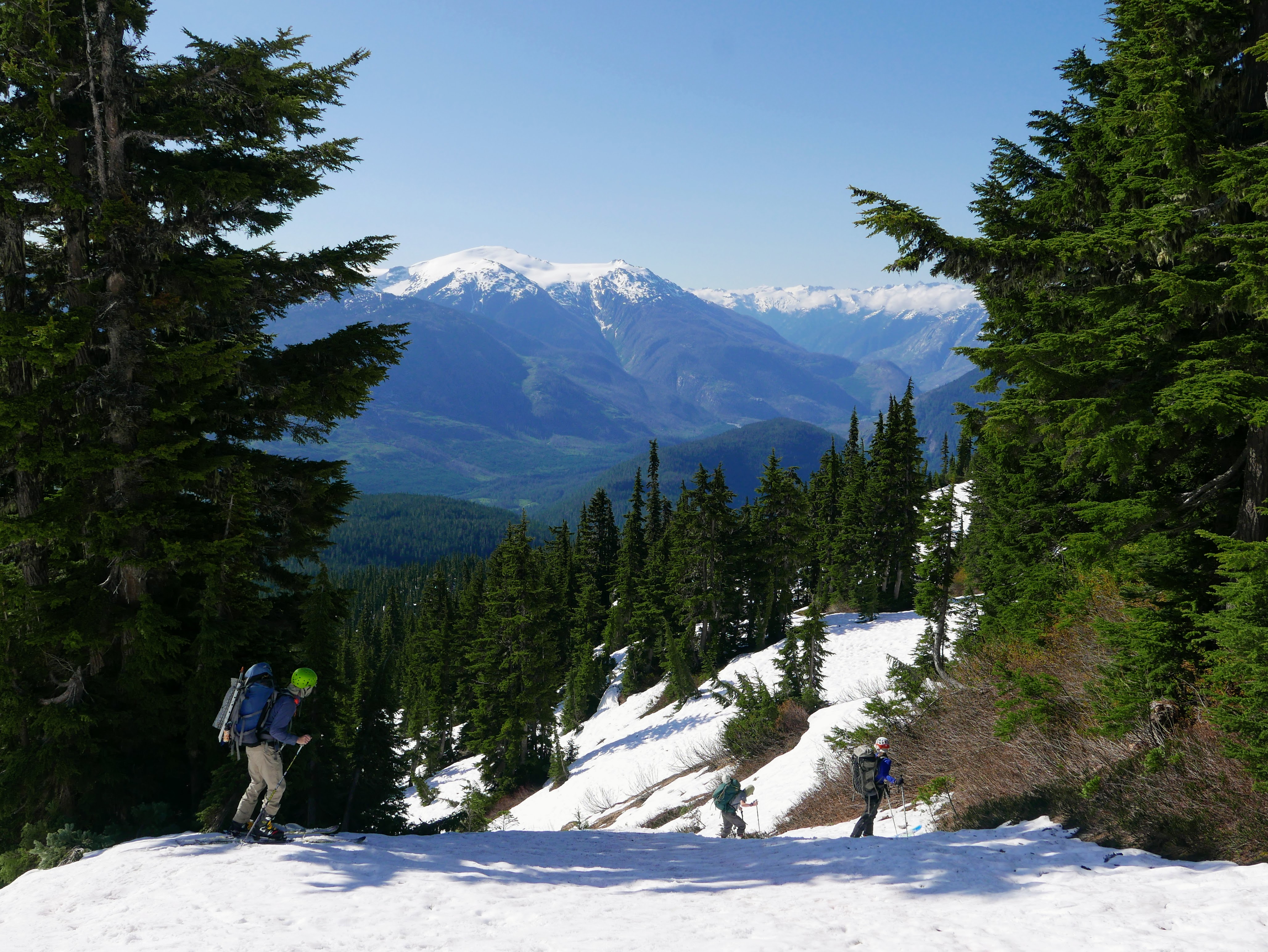
A couple hours from camp we could finally put on skis, and travel was much faster as we left the bugs behind and followed the long ridge towards Elaho Mountain in the sun. We contoured around the first summit on a mellow bench with incredible views of the mountains south of Clendinning Creek. Some of the glaciers were as broken and rugged as the Rumbling Glacier, and the valley walls were sheer cliffs. After a quick lunch on an old moraine, we regained the ridgeline and skied toward another elongated bump on the ridge. Thinner snow on the wind-scoured south-facing crest above 2200 m meant we had to bootpack for an hour or so, even though south aspects were easily skiable from 1800 m (and north aspects from 1600 m). On the glaciers below, it was clearly not yet summer. Although the odd crevasse was open, most were visible just as thin cracks in thick snow bridges, even though the steep rock faces surrounding them were bare.
So happy to be on skis!
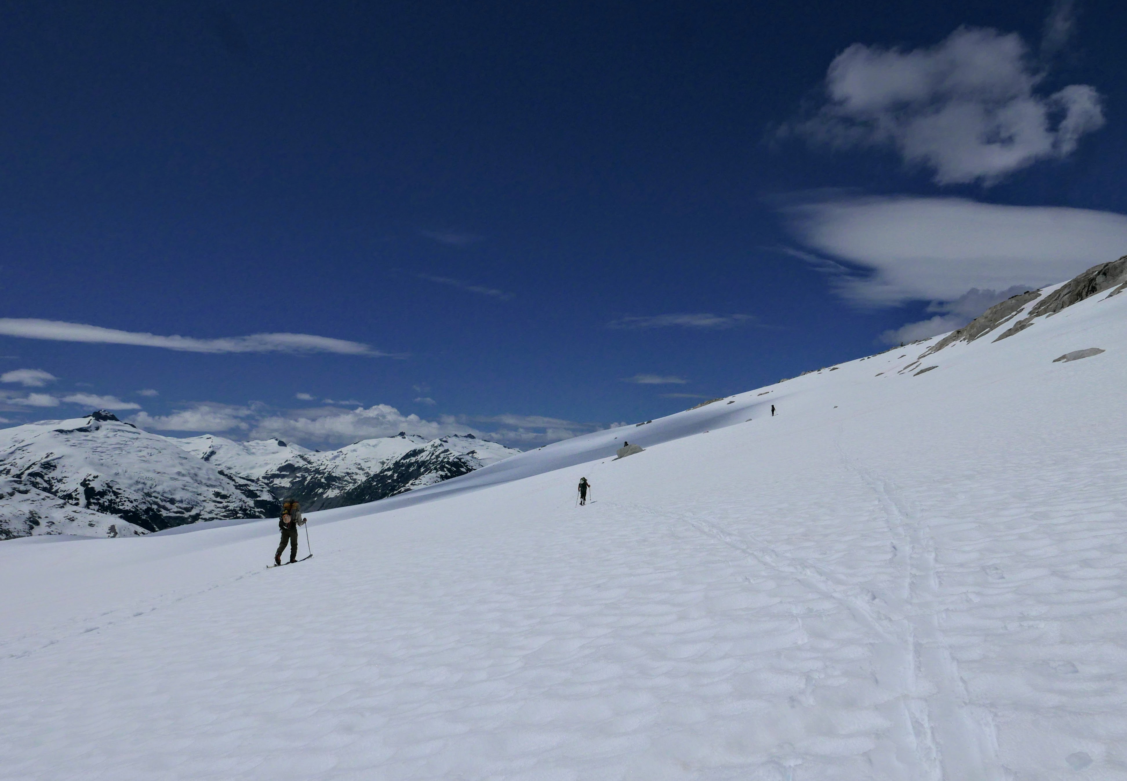
Traversing the mellow bench
Ross is dead
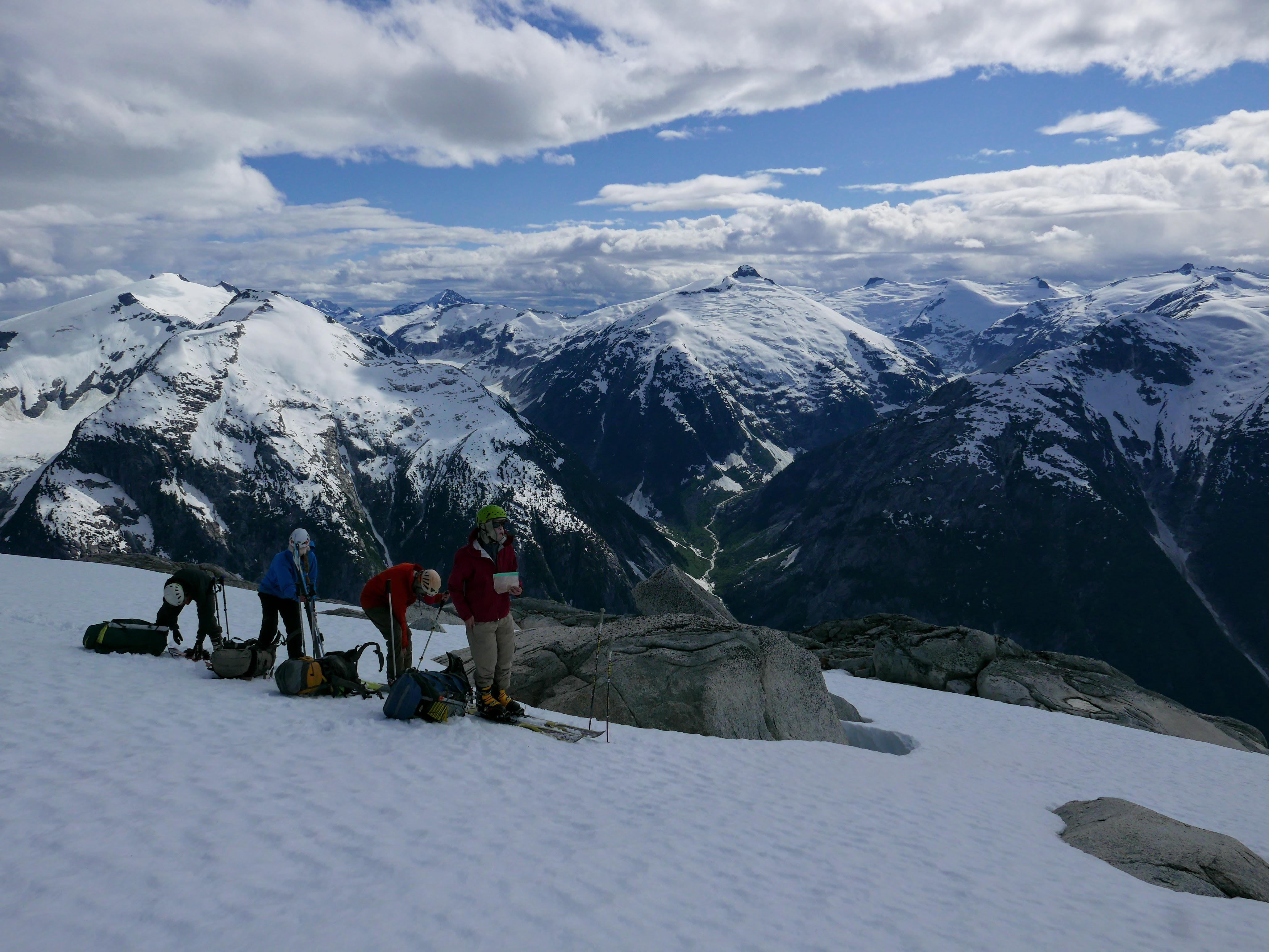
Views to the Clendinning behind
We skied down onto a broad glaciated col and crossed it towards a low bump, behind which we planned to camp. Gaia’s 10 m interpolated contours showed a mellow ramp that would allow us to bypass the bump without putting on skins, which we were keen to avoid. As we skied around the bump it became steeper and steeper and we suddenly found ourselves skiing across a scary convex slope—no mellow ramp in sight—with exposure to a precipitous 150 m drop onto a glacier far below. Not the sort of place you want to be on a sunny day at 6 PM! The map had totally lied (the ramp doesn’t exist on CalTopo, also not in real life) and we were all a little rattled. The spot where we re-grouped wasn’t much, but we decided to camp there rather than navigate another slightly tricky notch in the ridge. As Tom said, our camping spot fulfilled two of the three criteria—-there was liquid water, and while it was unfortunate that there wasn’t really anywhere to put a tent, we weren’t willing to go a step further.
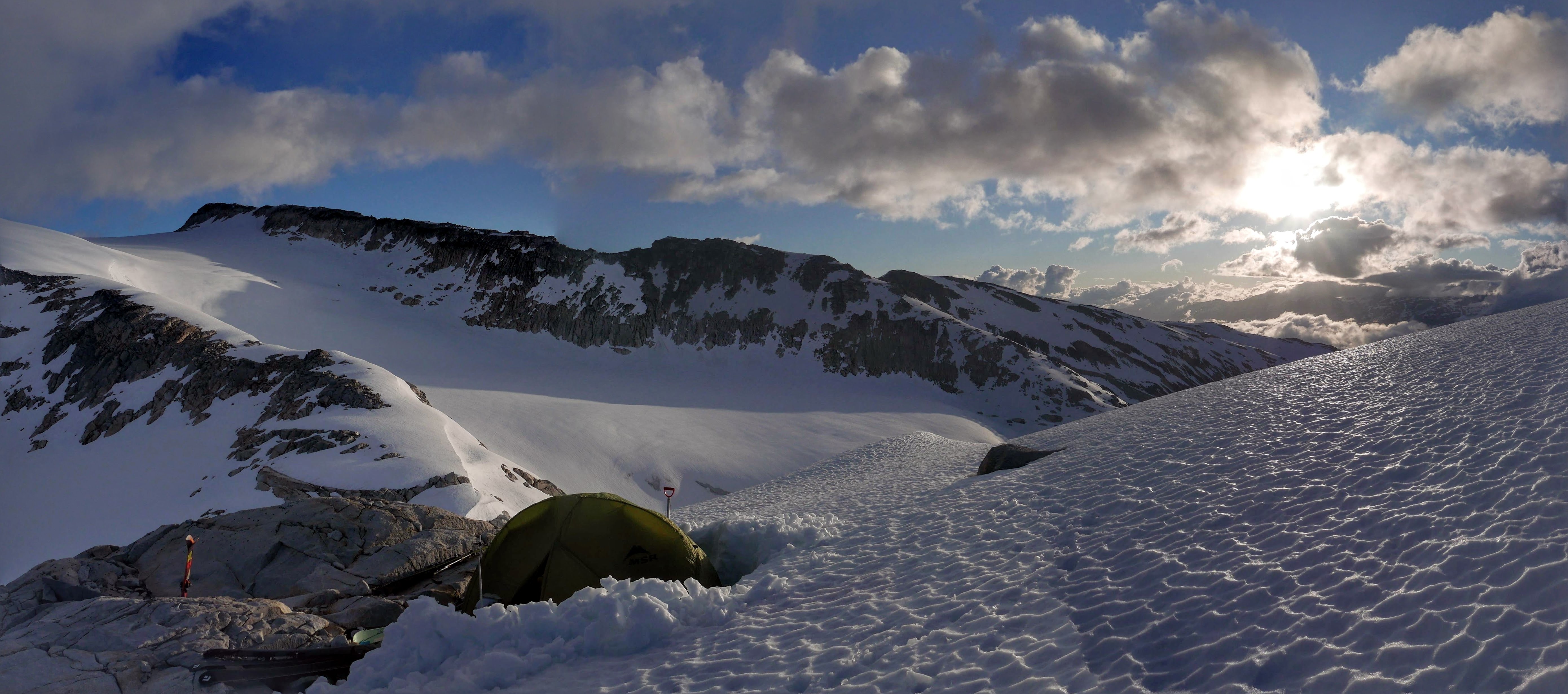
A very pretty campsite. We dug the tents into the snowslope in the end, which worked just fine.
That evening Richard Shaw (our emergency contact back in Vancouver) sent us a number of excellent weather forecasts. By excellent I mean thorough, because the incoming weather was awful: it looked like we were about to lose our gamble with the high-pressure system. We decided that even though we could probably make it to the edge of the icefield, we might well have trouble navigating the ridge (and a couple crevasse fields) homewards without visibility, and so we chose to retreat.
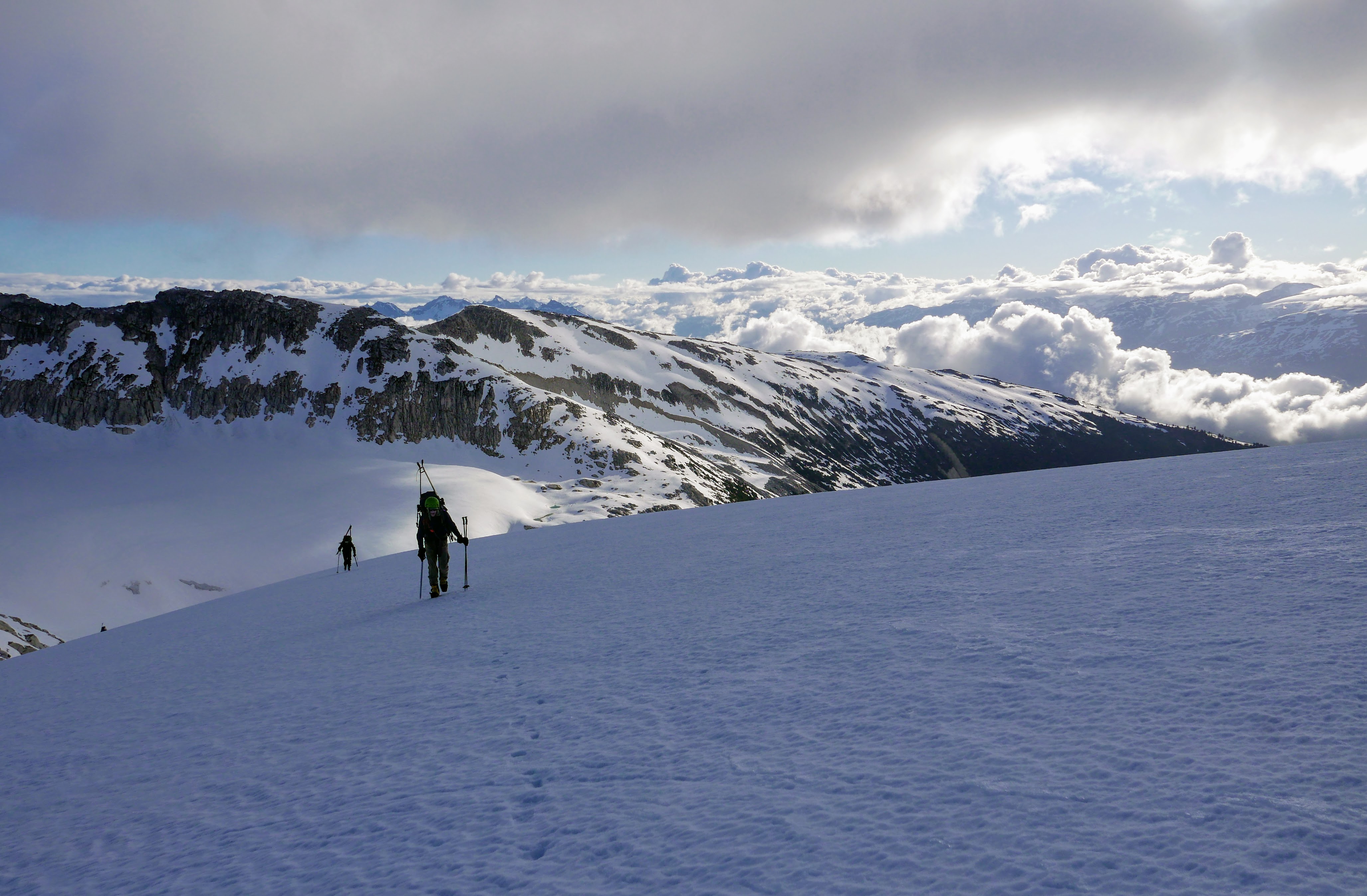
Bootpacking out of camp as we retreat. Should have brought ski crampons!
The icy crust we encountered early the next morning convinced us that we should have brought ski crampons on top of all the other gear, and we ended up bootpacking back over the top of the low bump. We skied and scrambled back along the ridge with towering clouds circling around us. We stopped a couple cols back, set up the tents, surrendered to an hour or two of alpine lassitude in the remaining sunlight, and when the rain and whiteout hit we napped. That evening it cleared slightly, and we skied a fun but slushy 250 m run down to the snowline.
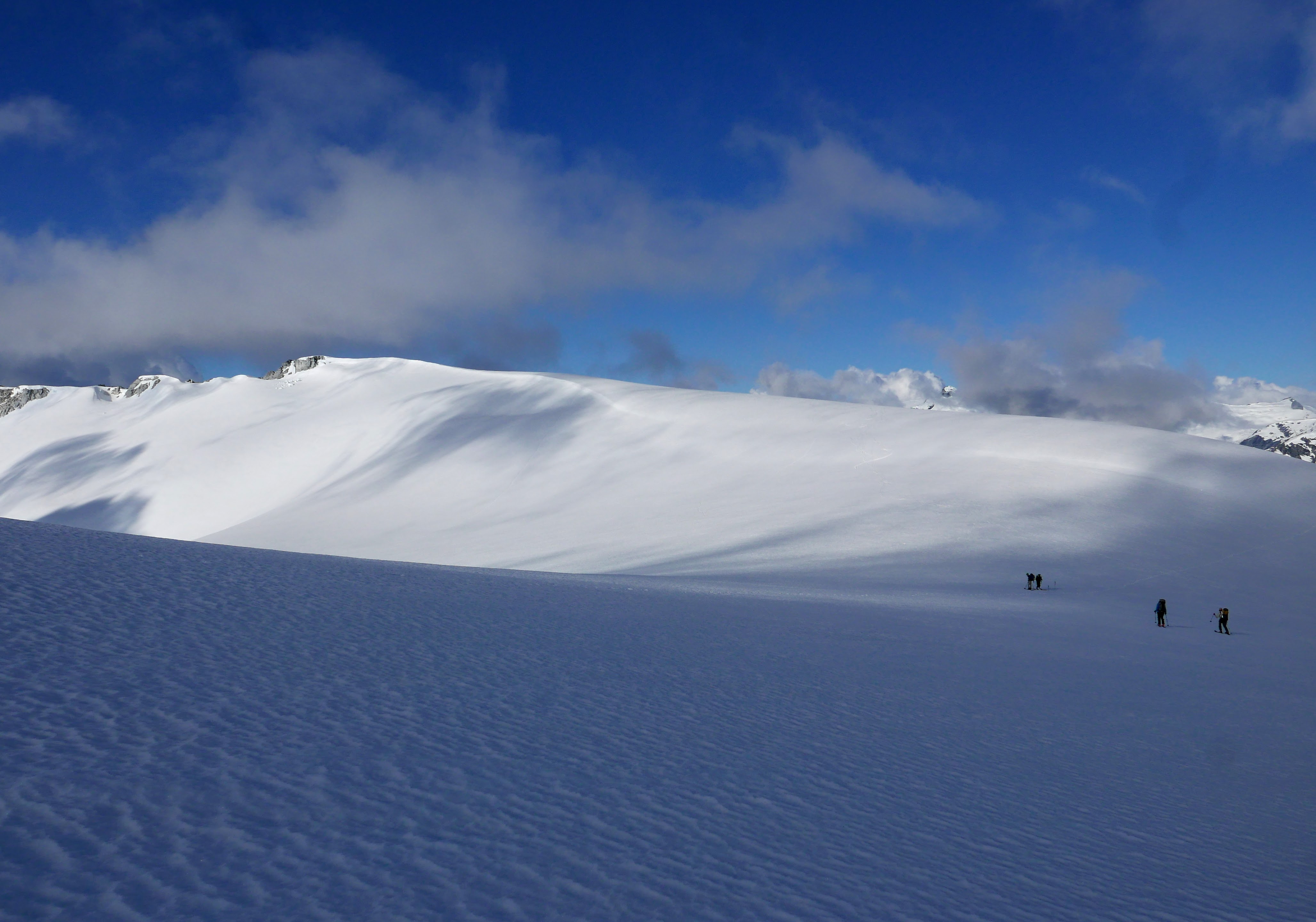
Skiing back onto the big glaciated col

In the morning, the clouds mostly missed us
Oooh that doesn’t look good

The tents look cozy before the weather hits
We spent the next three days inside the ping pong ball, with one or two brief periods of visibility. It snowed, hailed, and rained, and we spent most of the time in the tent, napping or chatting. Unfortunately I had convinced Birgit not to pack a deck of cards, but we whiled away our imprisonment by playing chequers with Fuzzy Peaches on a dirty thermarest, teaching Ross “The Crossing of the Bar”, singing (VOC songbook), eating, botanizing, marvelling at the odd sucker hole, and speculating that it would “definitely clear up tomorrow”. Even while it snowed, the midsummer sun could make the tent a sauna. It was so hot that Birgit somersaulted down a snow slope in the skud and Tom gave snow-bathing a try. At one point my thermometer read 37 C near the ceiling of the tent! You’ll be happy to know that I verified the accuracy of the thermometer experimentally, out of boredom.
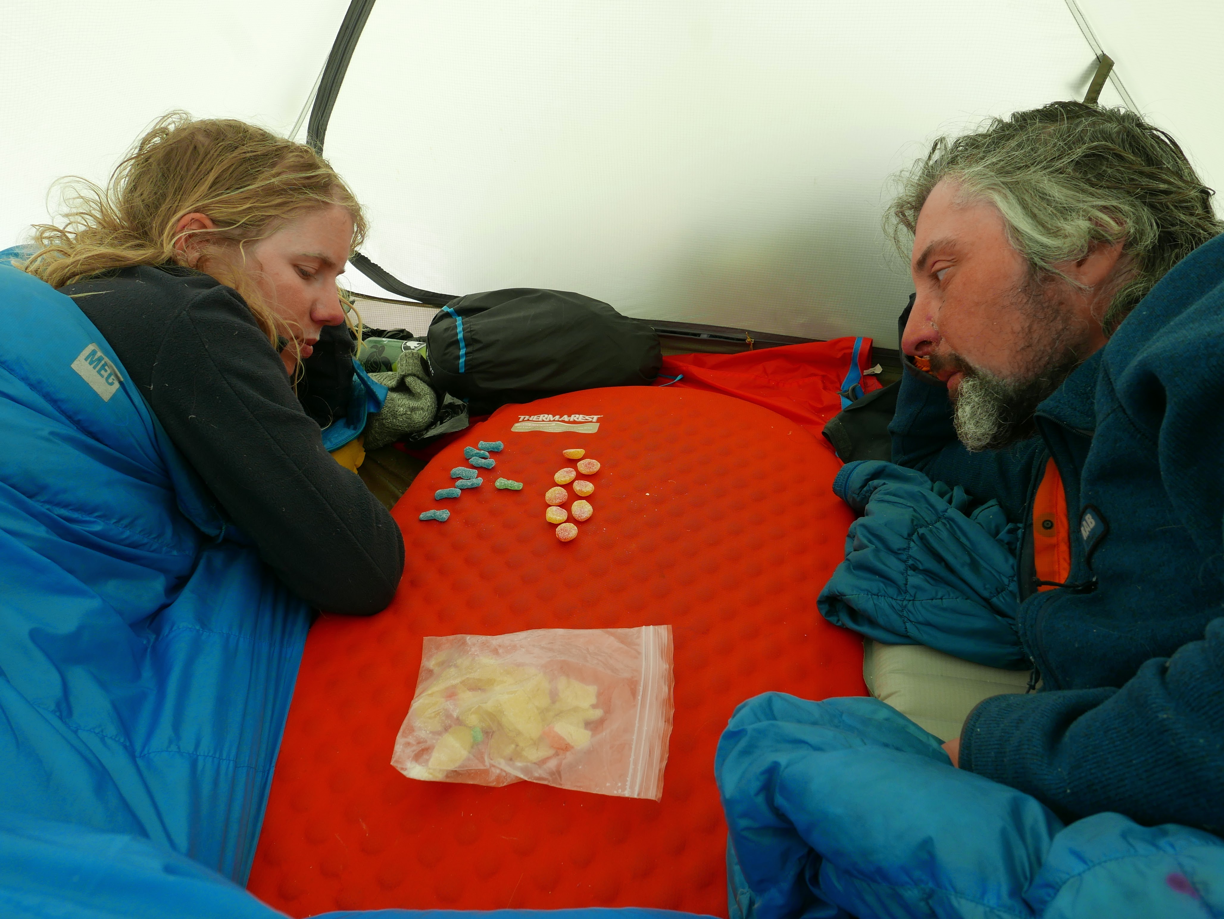
Checkers on my mat
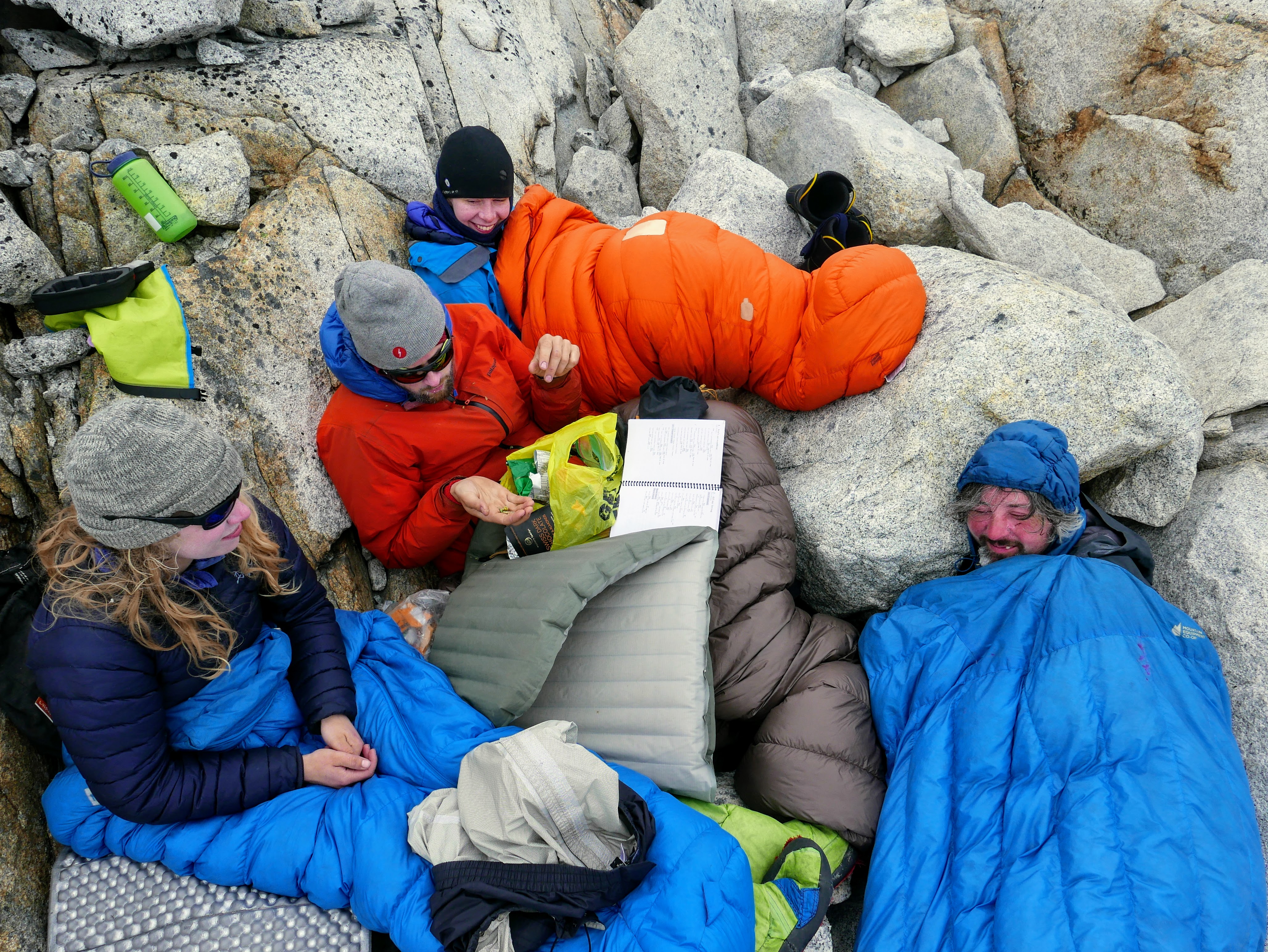
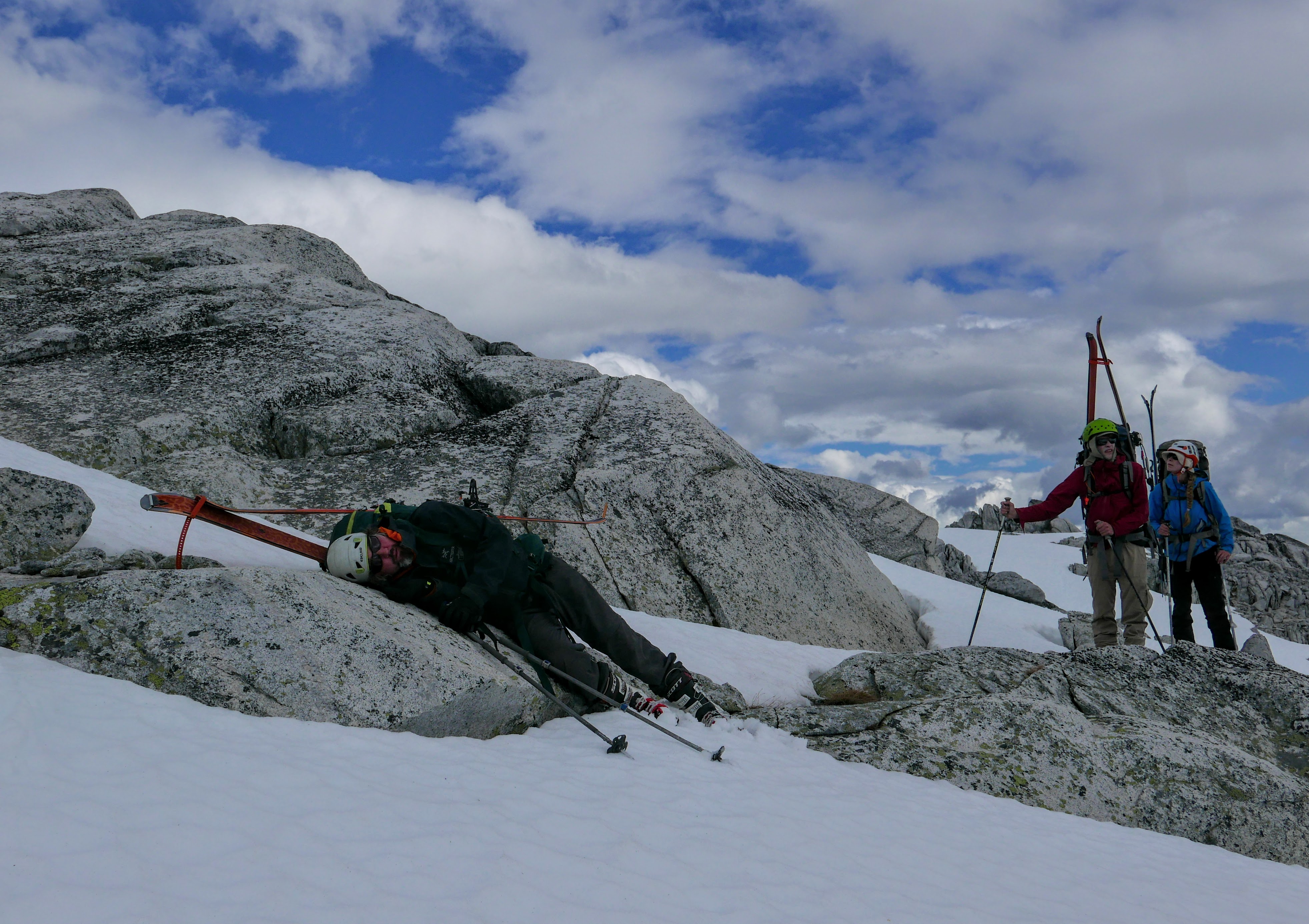
Outside for a change. Ross punctured his thermarest on a granite spike, but luckily we had a field repair kit.
Sunscreen
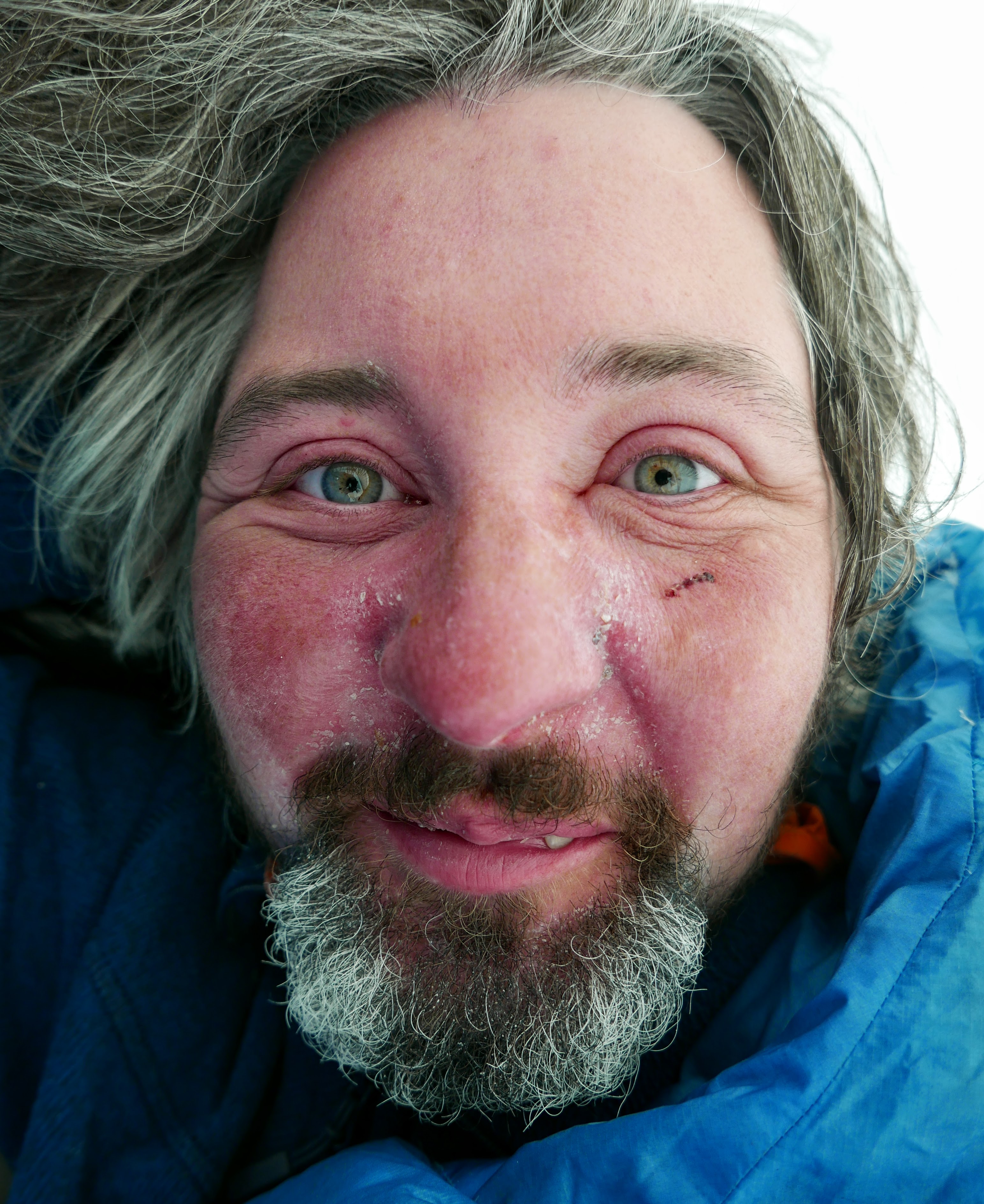
Sunburn
More sunscreen
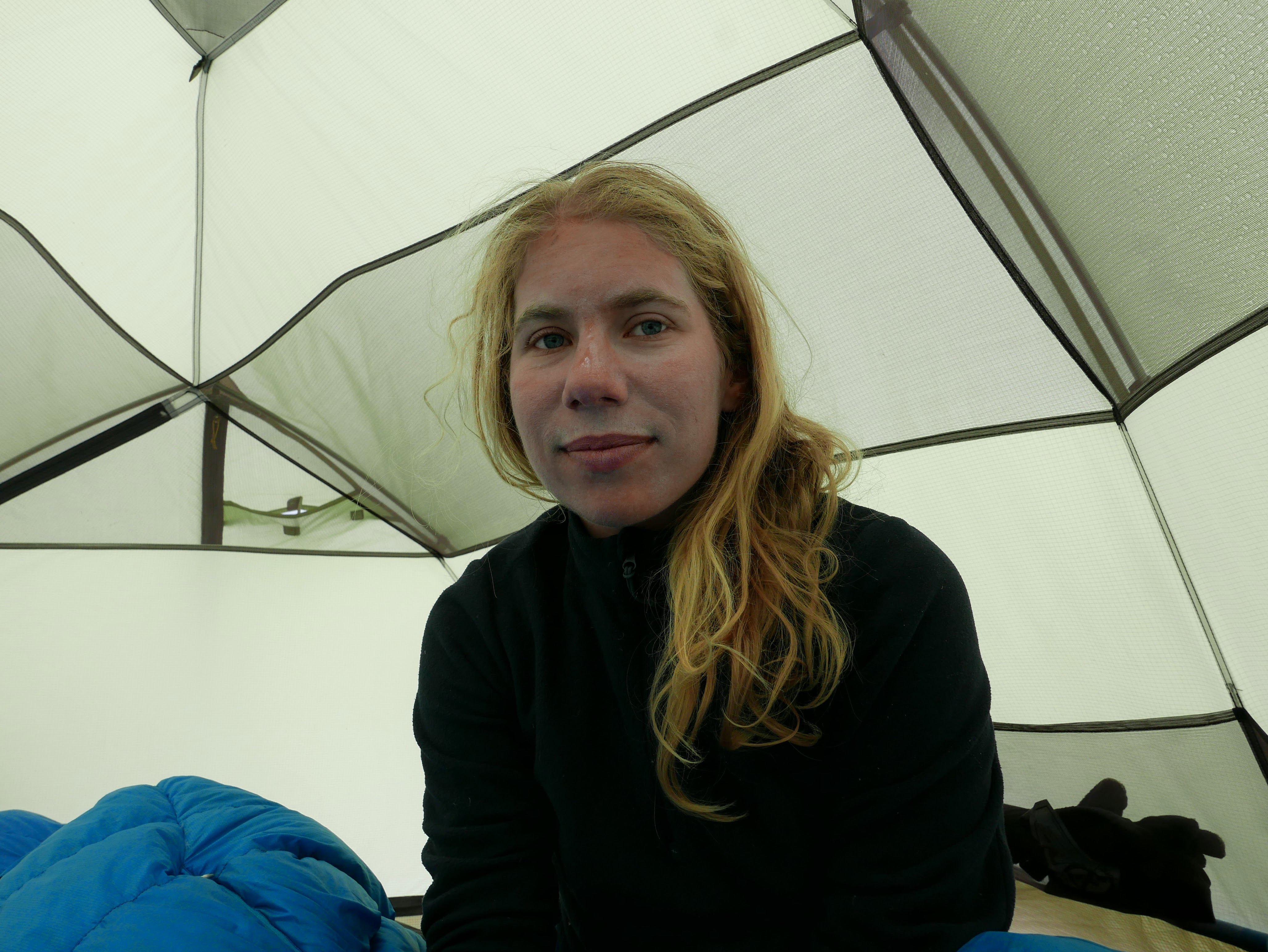
Cassandra ventures outside. Photo Tom.
We woke to sun on Saturday, cached our overnight gear, and picked our way through a gap in the cloud rising out of the valleys to ski an excellent 3 km (500 m vertical) lap down the glacier to a lake. Incredible skiing for July! When we ran out of snow beside the lake down below, we swam, washed, and had lunch. After a little bit of exploring, admiring the glaciers pouring out of the hanging valleys overhead, we skinned back up the glacier. On the rocks above there was a change in colour like a waterline, at a constant height above the snow. It’s likely that the darker colour (higher up) consisted of lichens, possibly marking the historical height (depth?) of the glacier before the modern melt—but that’s just speculation.
Good skiing on the glacier. Photo Tom.

The lake where we swam and had lunch
After skiing back farther along the ridge, we camped above a frozen lake. Pikas screamed at us from nearby rocks as we chatted away (you’d think we’d have run out of conversation after three days in the tent—-apparently not) and planned our descent to the cars for the morning. The way out was less brutal than the way in, but it still took 9 hrs, and it was buggy and hot. We broke the march down with a swim at a pretty ridgetop lake with a last view of the glaciers, and then beat down through the bush to the cars. The lake aside, the highlight was probably Ross’ use of the expression “a baw’s hair away from a proper square go” to describe his aunts arguing over a restaurant bill. Gold.

We at dinner on the bluff to the right.
Running out of snow
Bush
Swimming lake
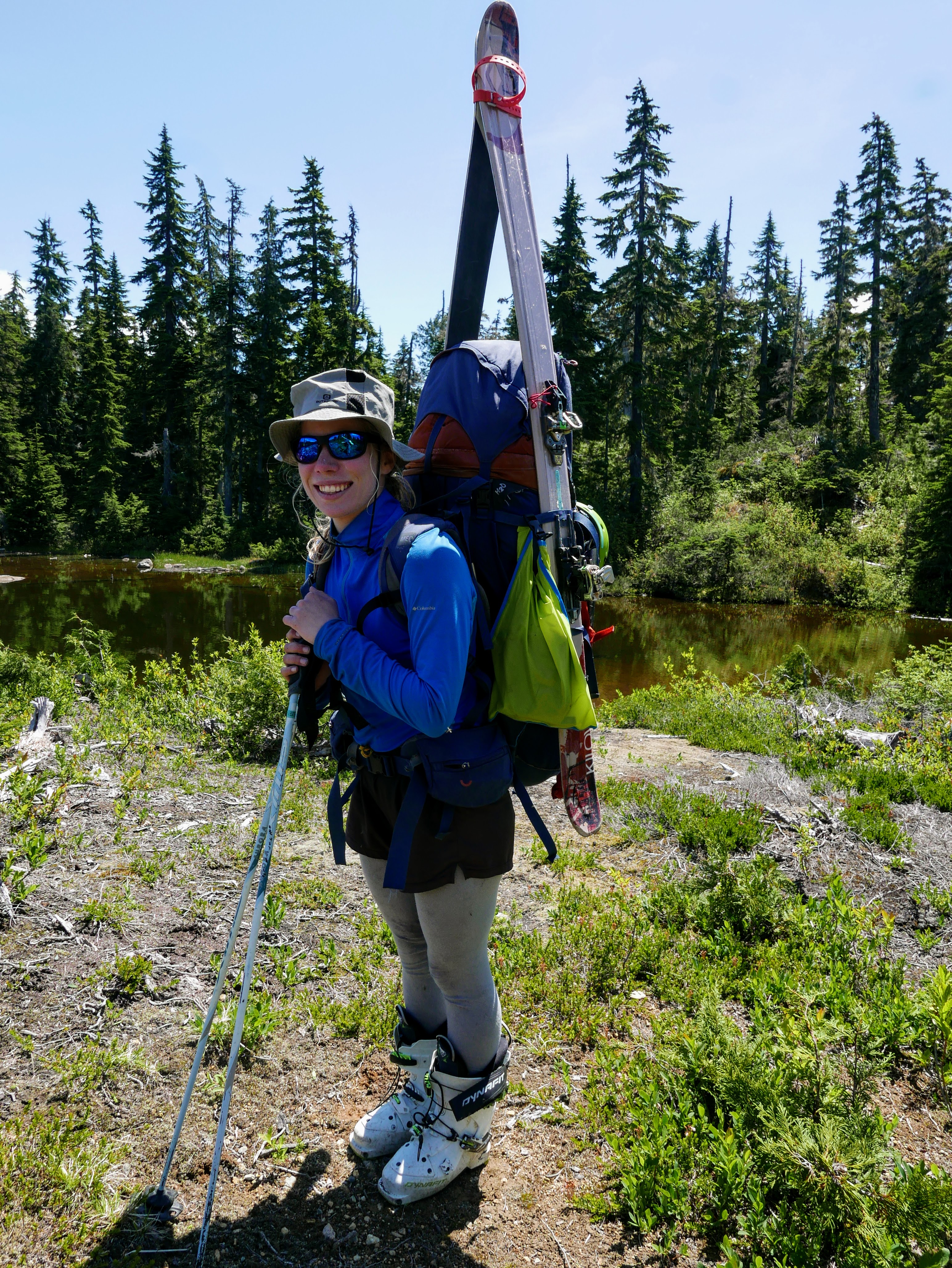
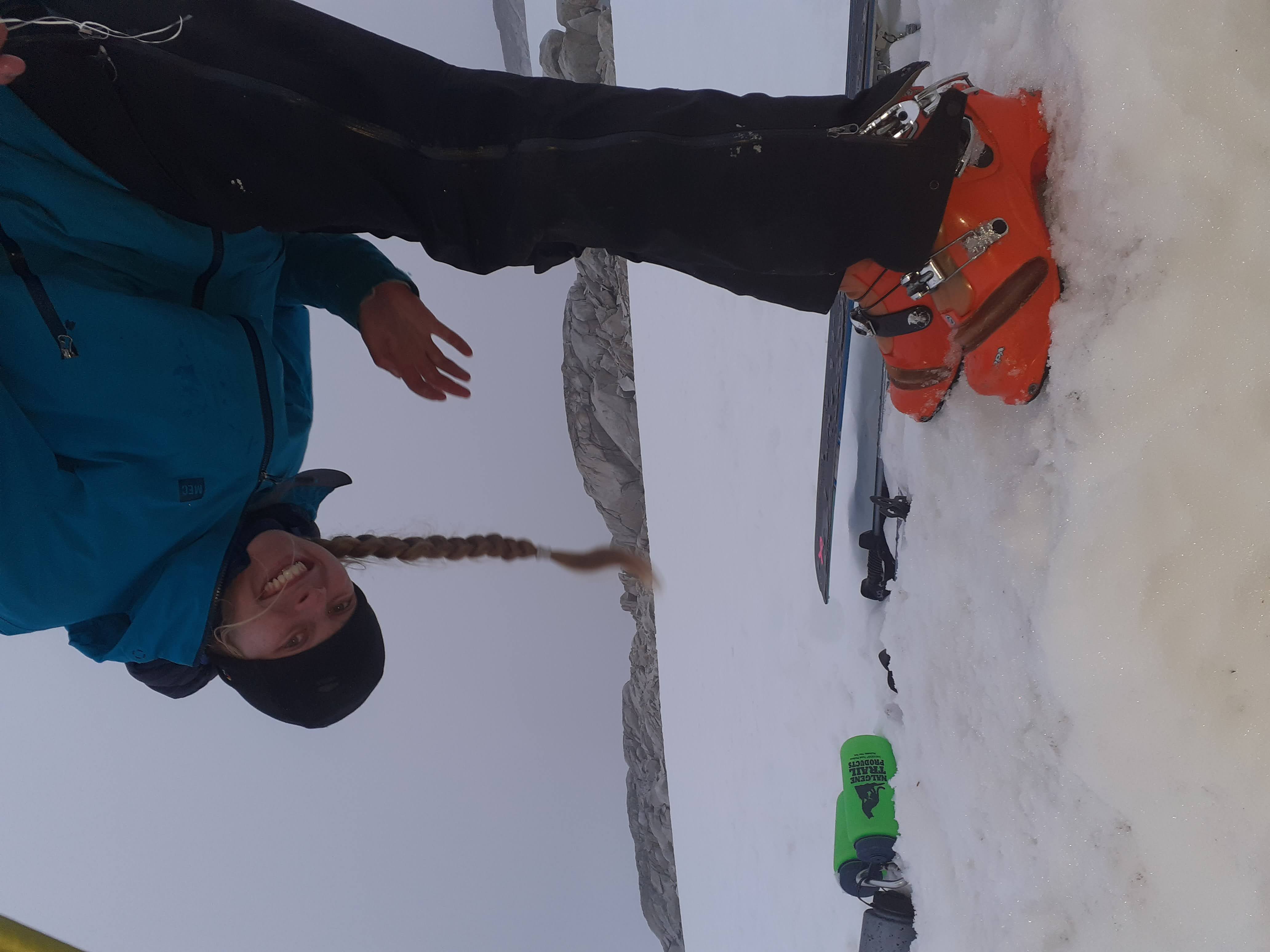
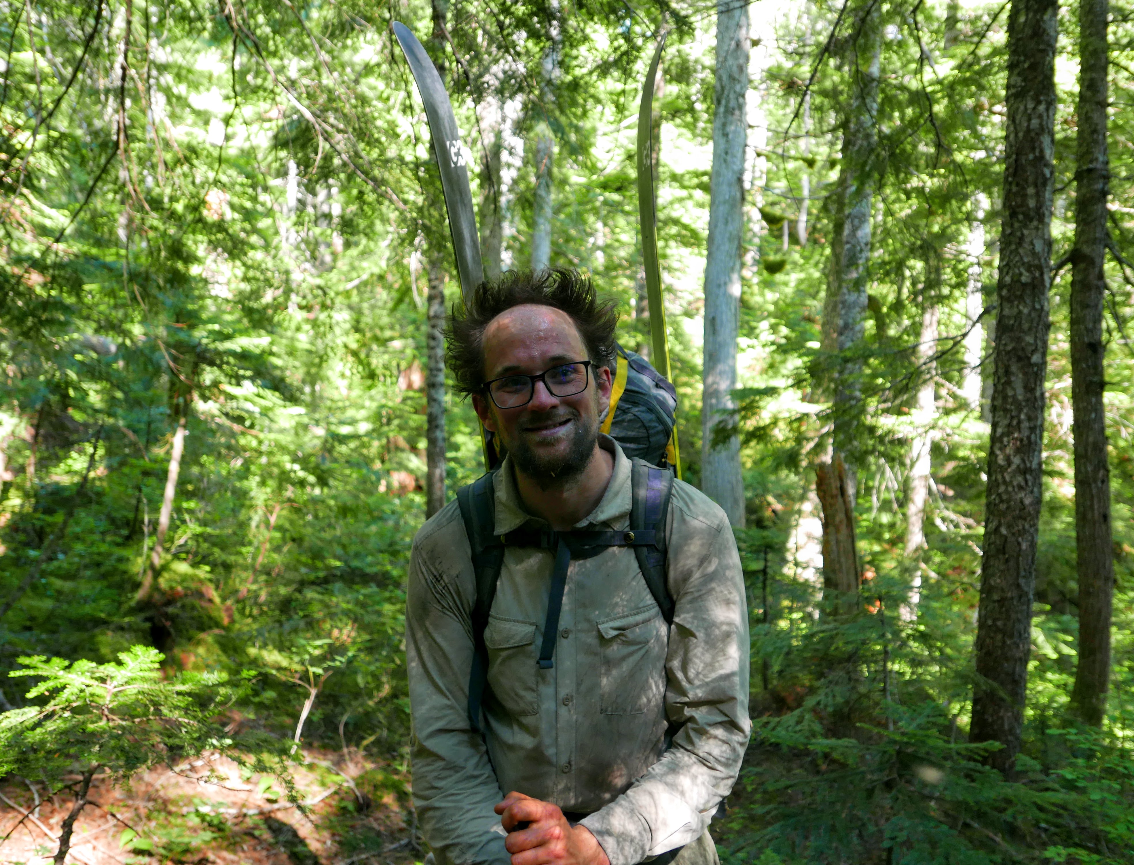
Is Birgit bigger than her backpack?
Tom’s forehead was eaten up by the bugs
The long drive out the Elaho was uneventful. We were happy to find the wildest creek crossing a little calmer than before, and we made it to Squamish in time to return the borrowed rope and buy dinner at (gasp) McDonald’s. Out of lack of choice (they don’t do salads during covid) I uncharacteristically decided to break my vegetarianism (two big macs — also gasp), and feeling a little greasy, we drove home. All in all, the trip was a much-needed break from work and covid. It was especially good to spend some quality time with friends, even if we didn’t quite make it to our destination.
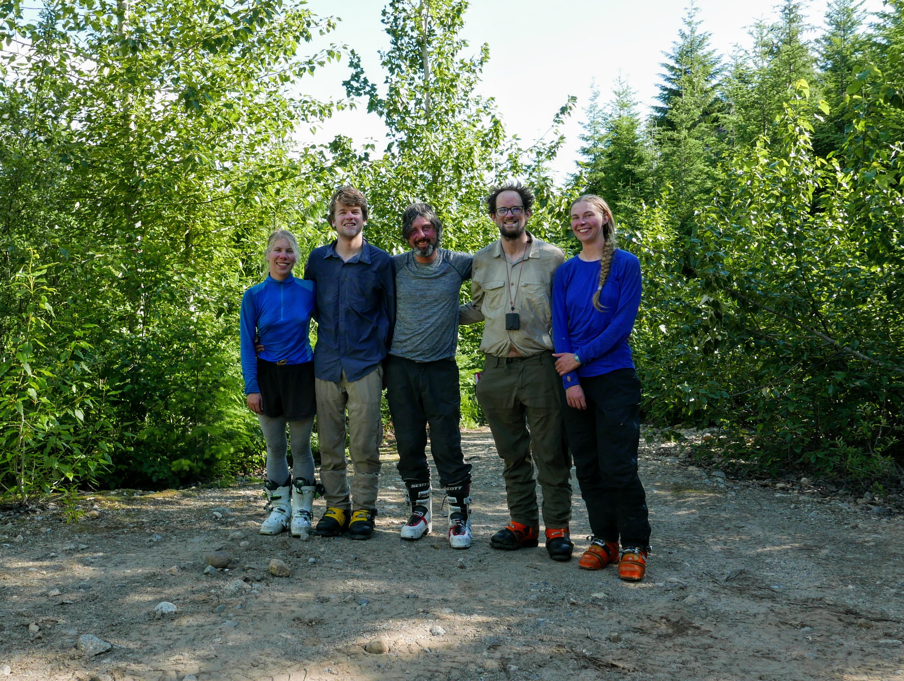
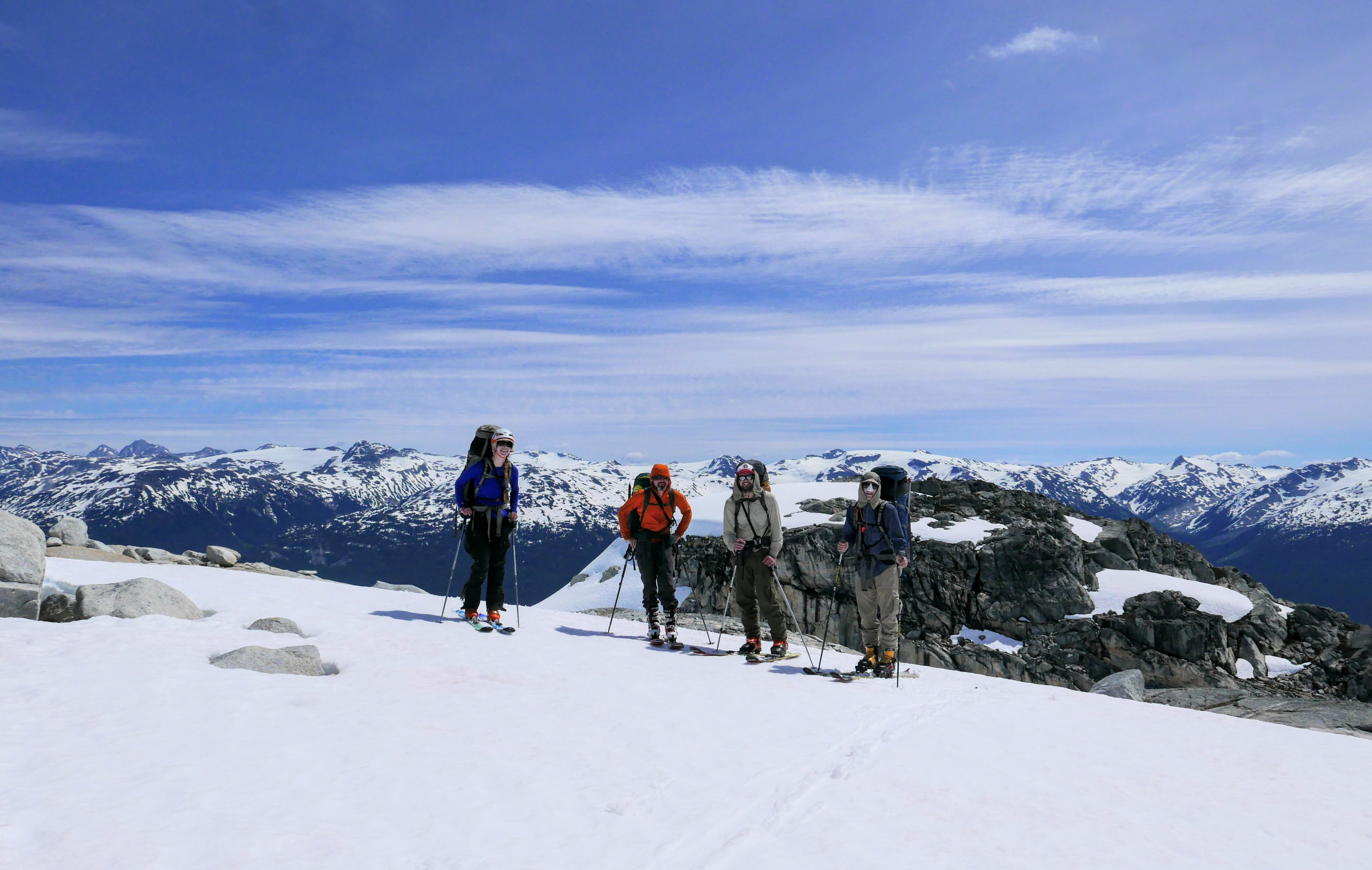
We made it!

Crossing the ford in better conditions
Photos by Birgit unless otherwise noted.
Nice Trip Report, just like the Good Old Days.
Nice, great work team. Way to keep on going through all the challenges you faced. Thanks for writing!
What an adventure just getting to the adventure! Kudos on your perseverance. Glad you had a few nice turns and nice views, and a chance in pace despite the poor weather.
Troopers! What a trip containing a bag of events. Thank you for sharing!
Wow what a great trip folks, so happy you made it into this area
Much fun, esp. for the bugs!! Good old trip as Roland said!