People have been asking for a trip report summarizing the work that has been done up at Burton Hut (fieldwork/workhikes) this summer so I figured I would combine a few short trip stories since they all happened in roughly the same place. In 2022, Anya Boardman, Allen Zhao, Courtney Collins, Tyler Chai, Joanna Gower, myself and many others spent a lot of time up near Garibaldi Lake where we went skiing through blizzards, watched ice melt, hauled boats up trails never meant for portages, and watched plants grow.
Sentinel Bay glaciology huts (March)
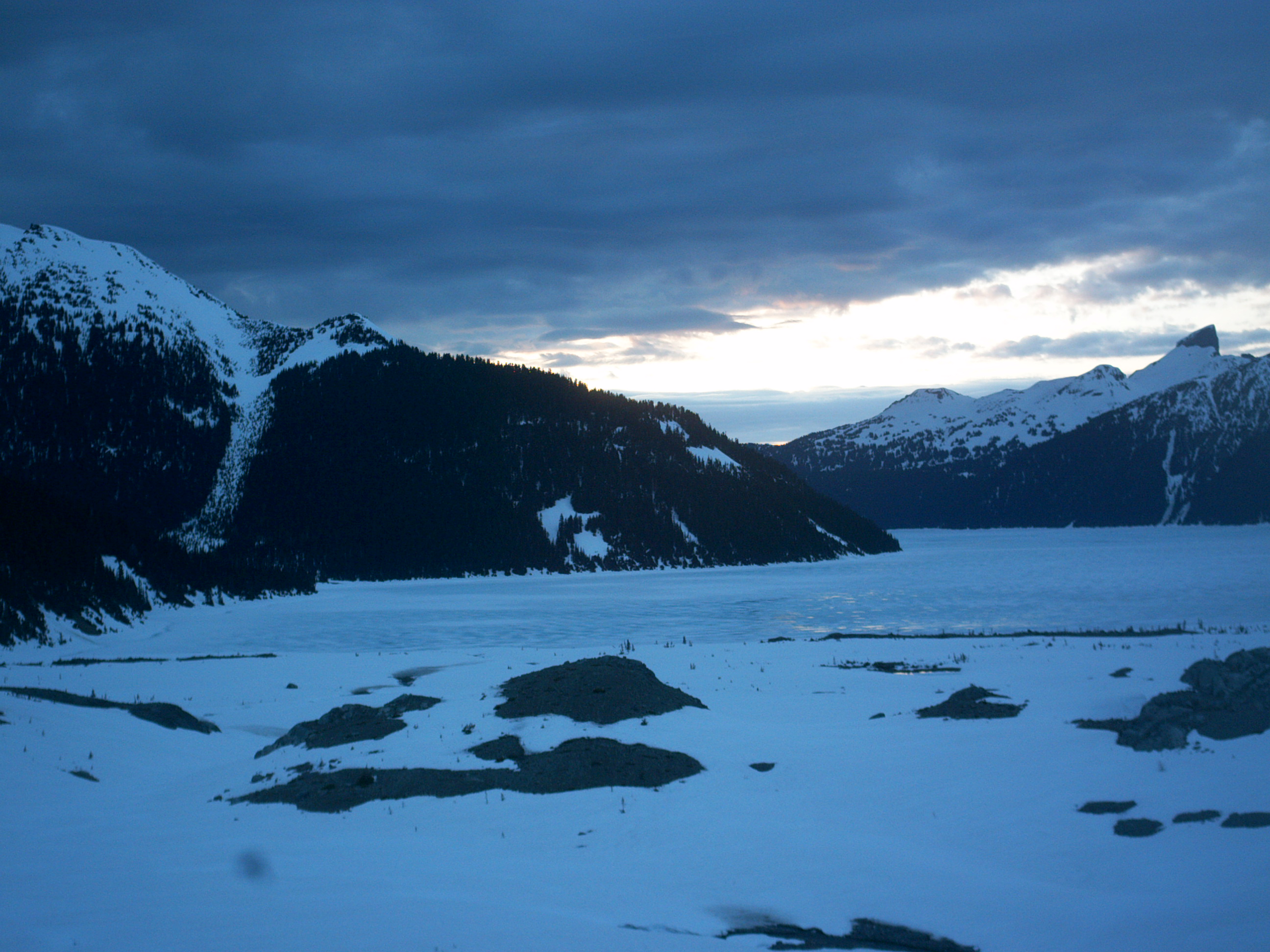
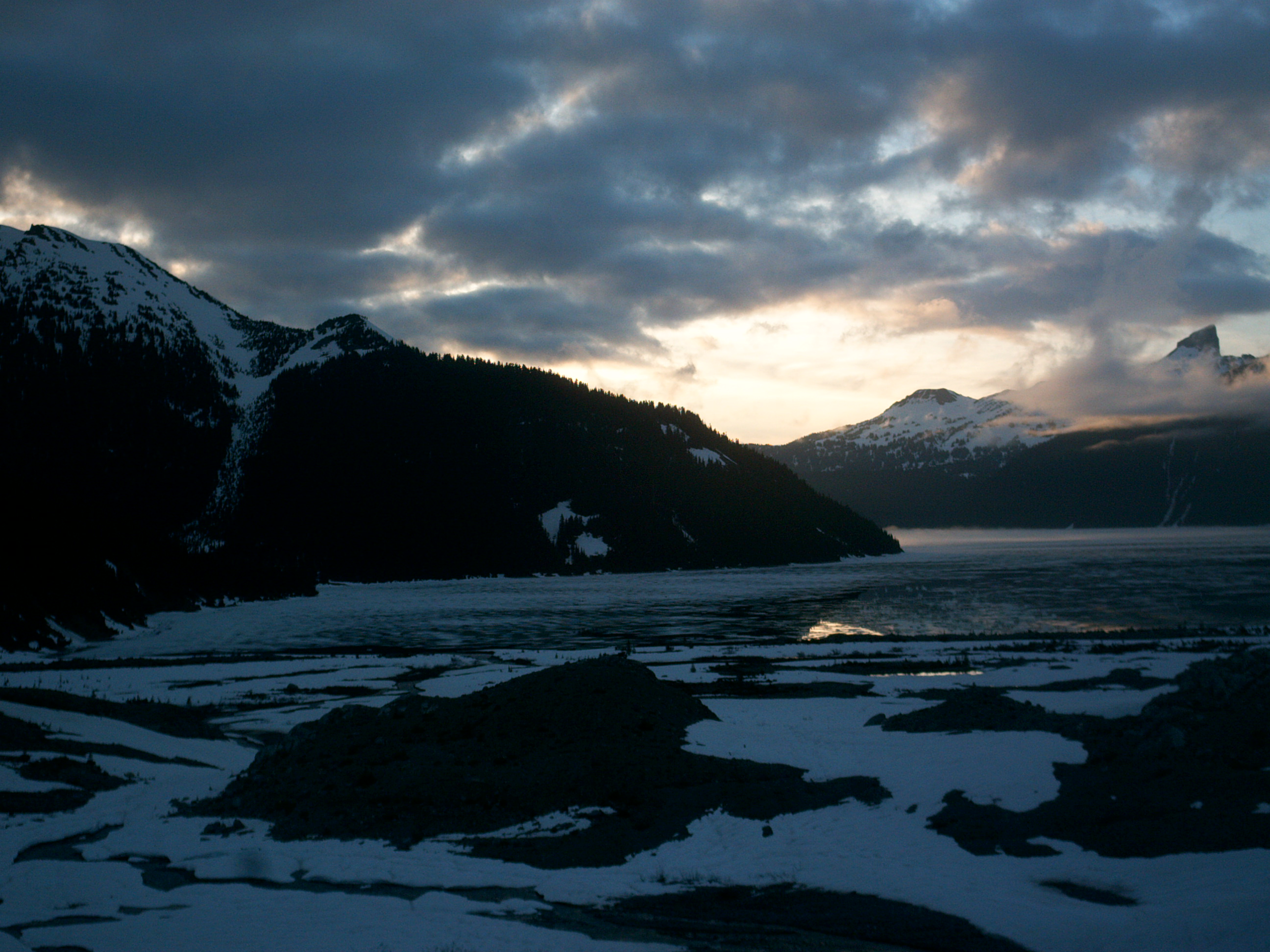
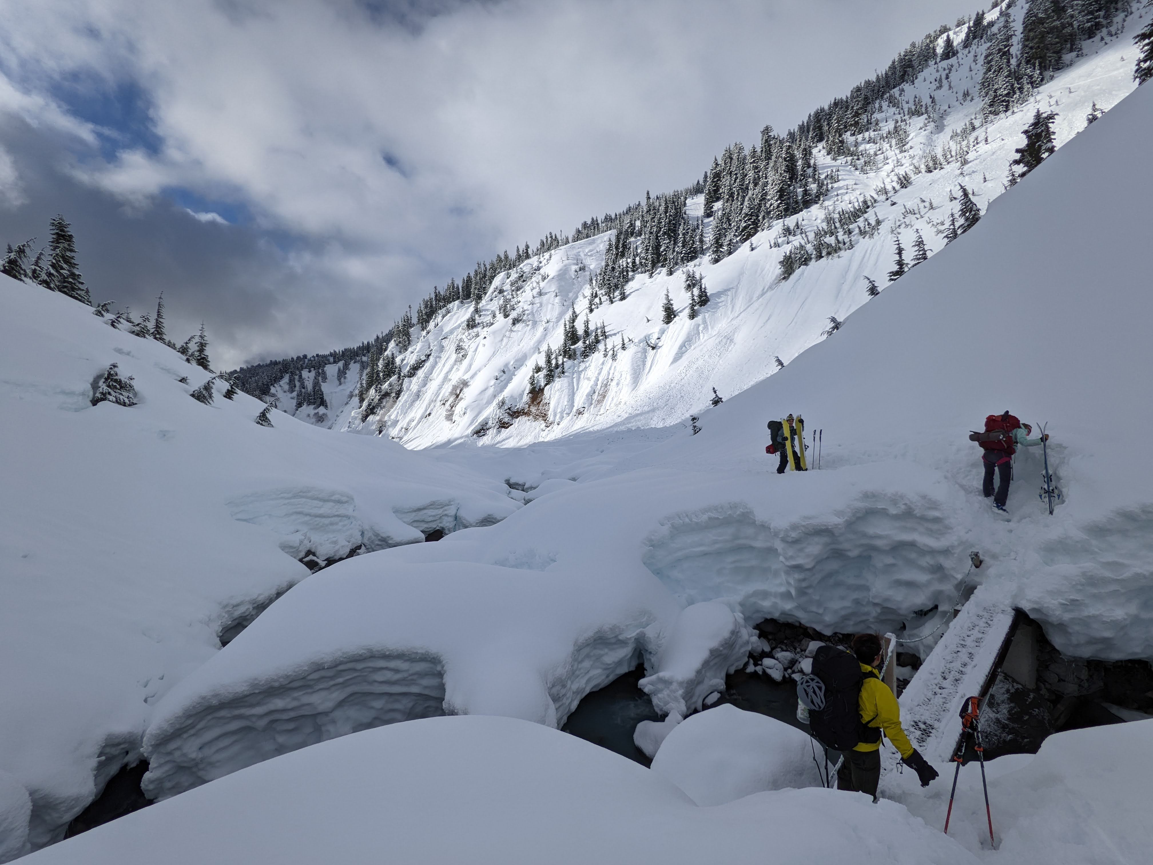
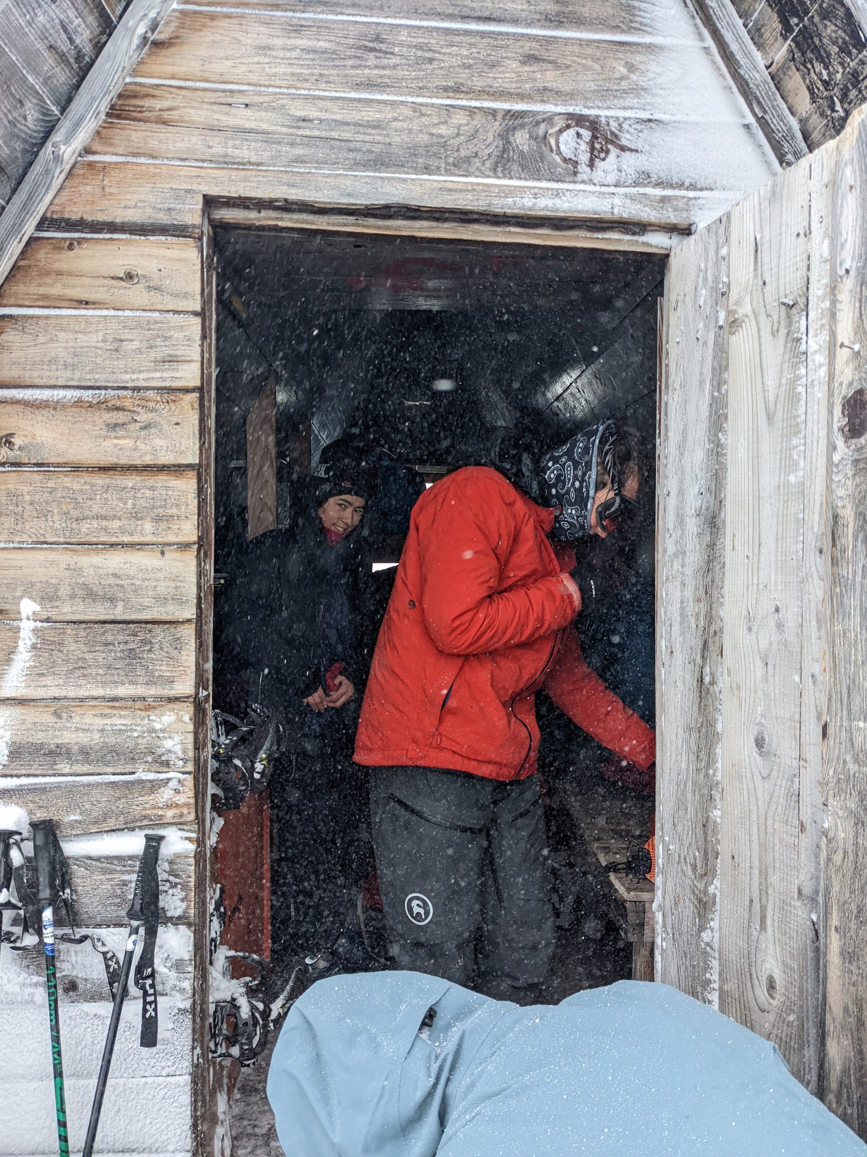
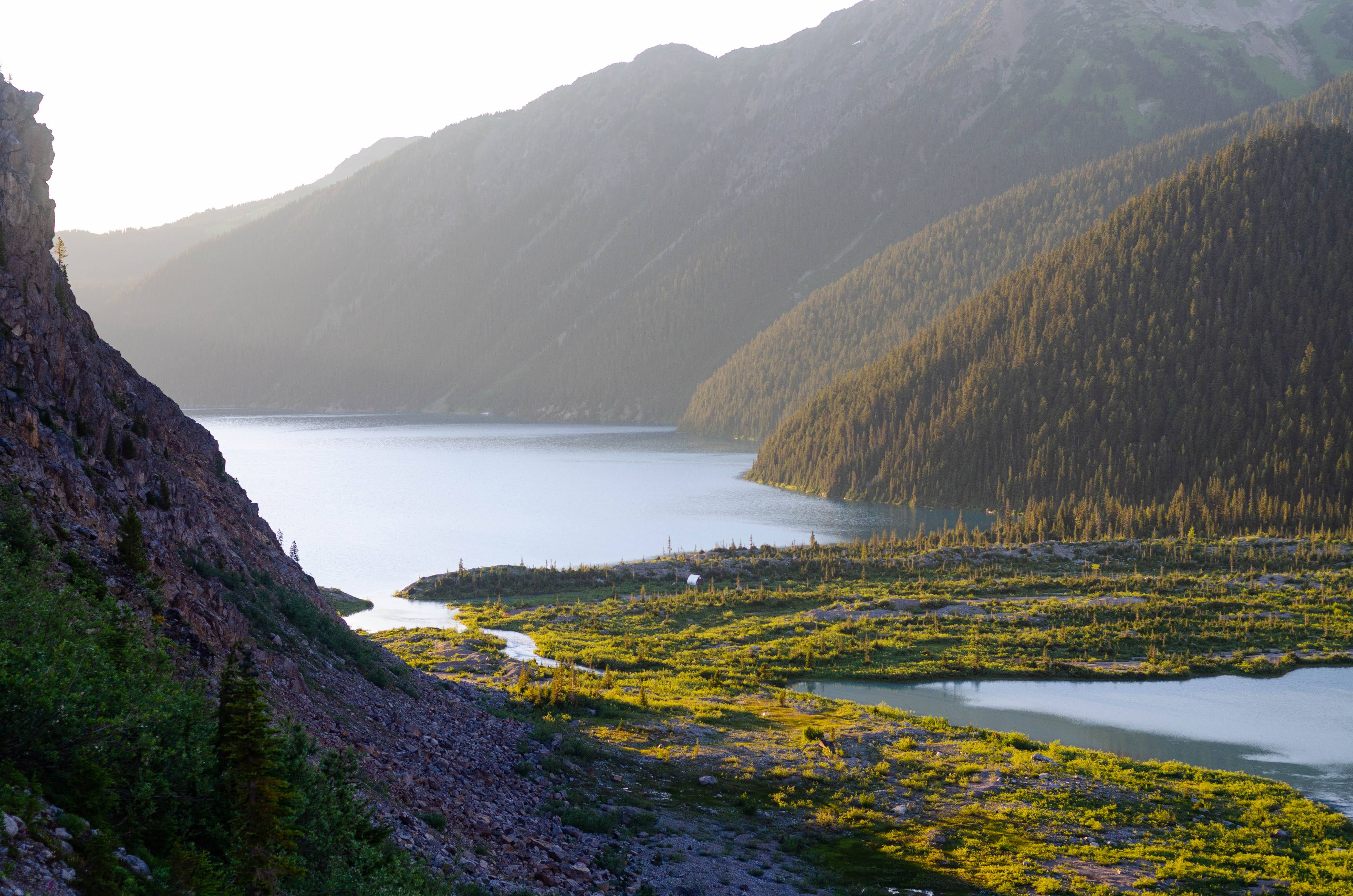
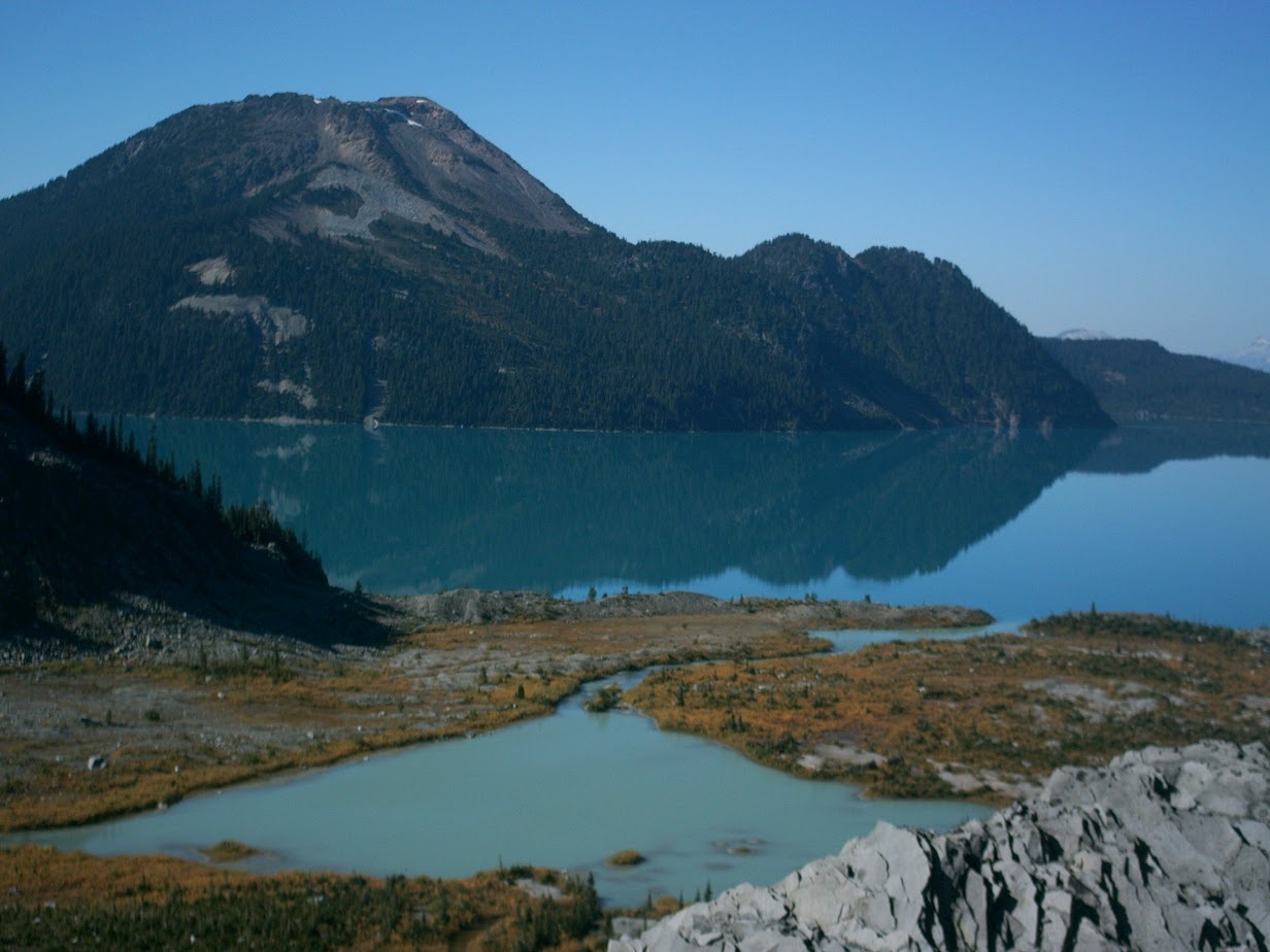
Our first trip to Garibaldi Lake this year was in March to the glaciology huts in Sentinel Bay. It was posted last minute as an extra practice trip for anyone interested in the Steps to the Neve trip (scheduled for the following weekend) but was also an opportunity for us to visit the research site we had proposed to study alpine plants this summer. During the trip, Anya and I installed a time-lapse camera to record the snow and ice melt over the rest of the spring. We also skied over to Burton Hut, explored an igloo and fixed the door closing system.

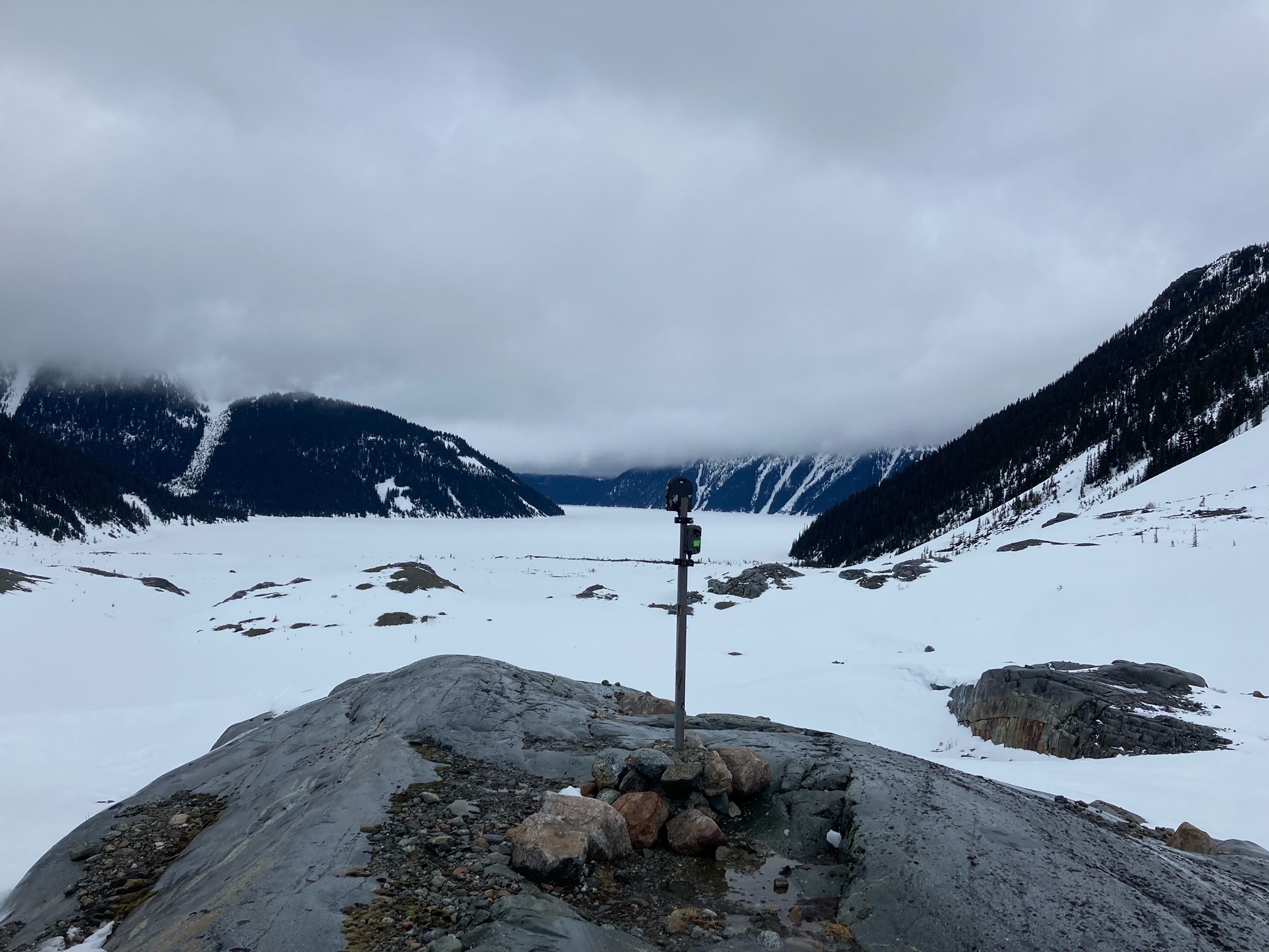
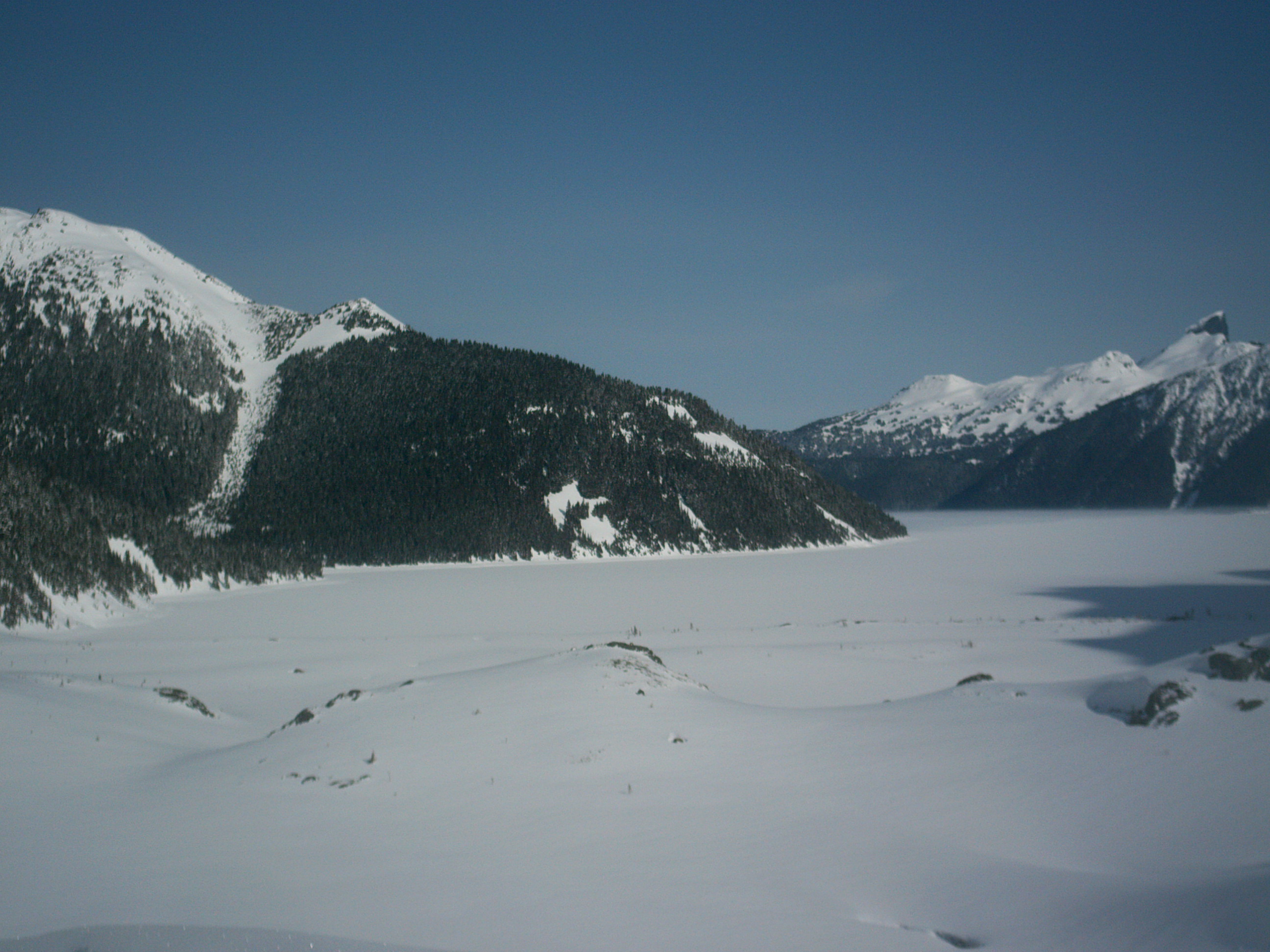
Above skiing across the lake and the snow melt time-lapse camera.
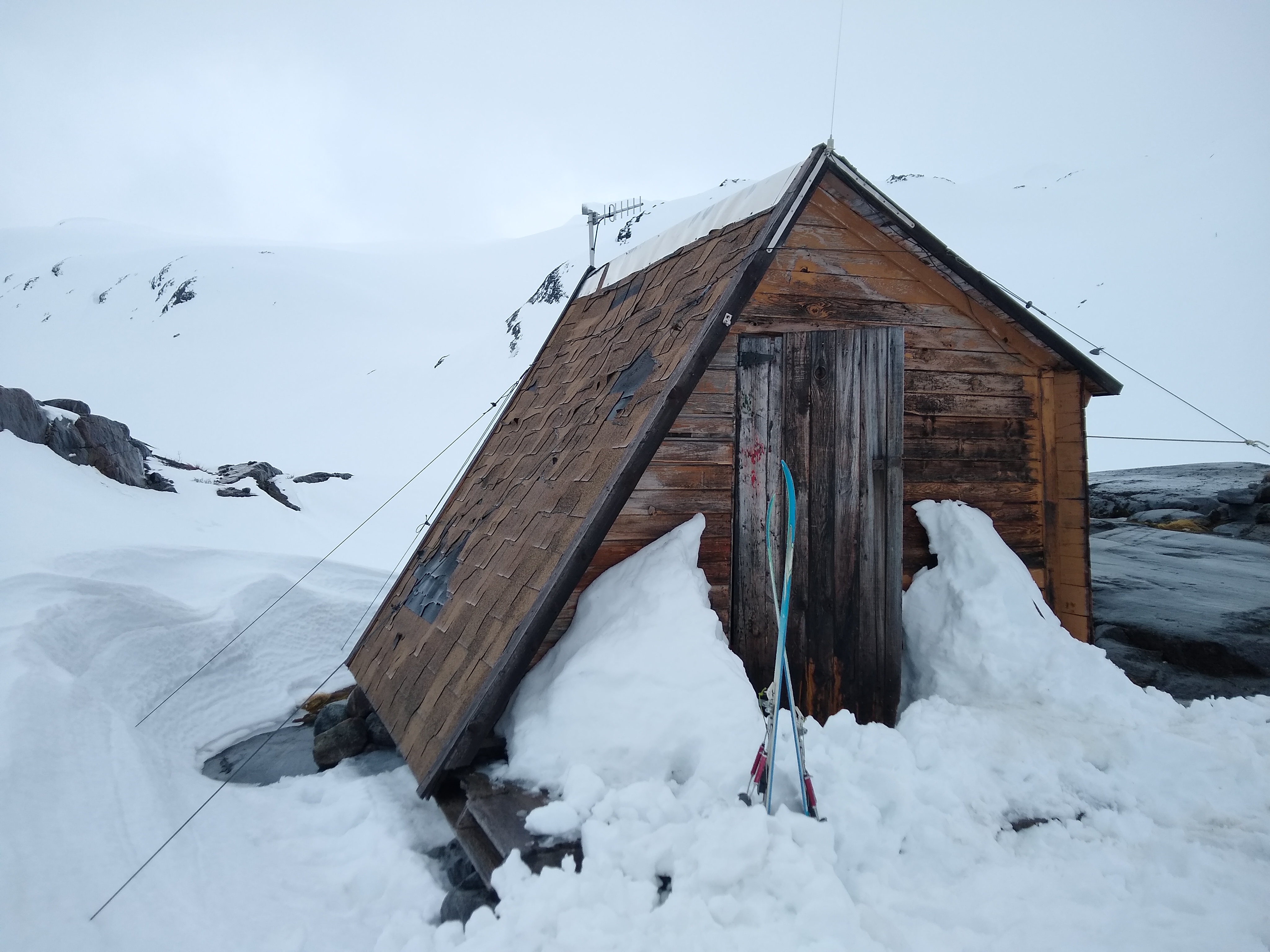
Sentinel Bay glaciology huts.

Snowmelt camera time-lapse photos (Mar-July, 2022)
You can watch all the photos here (Video by Allen Zhao, I recommend changing the Settings to Playback Speed 0.5 to watch the snowmelt): https://www.youtube.com/watch?v=6UimhmbrYJc
The Neve (early April)
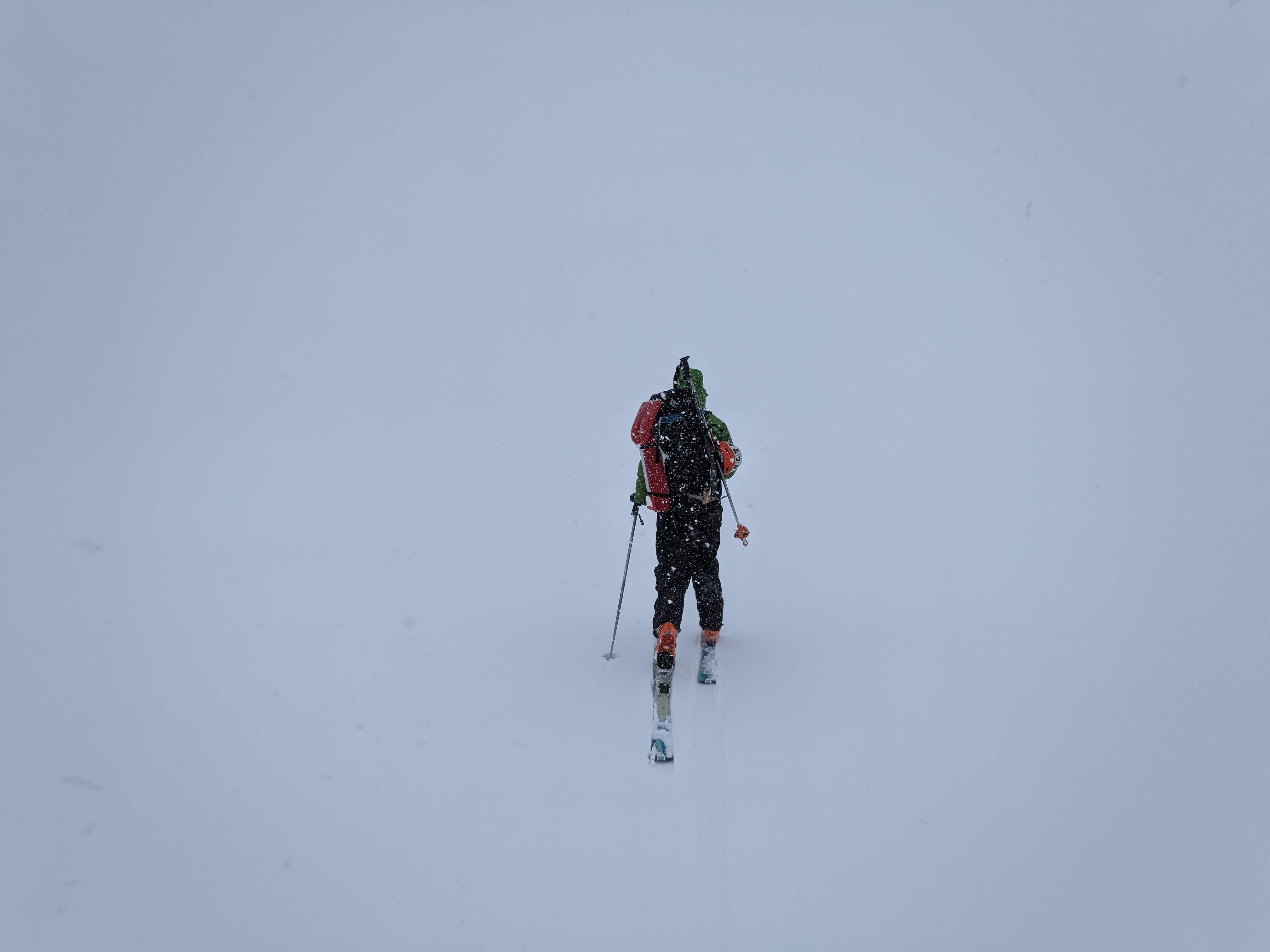
The following weekend, I ran the fourth Steps to the Neve trip across the Garibaldi Neve which turned out to not be the best plan. I had done the Neve once before in a whiteout and fallen off two windlips in a row which was enough to convince me I did not want to repeat the experience so I triple checked the GPS track, my compass bearings and brought along a bright orange string I could throw ahead to check the snow.
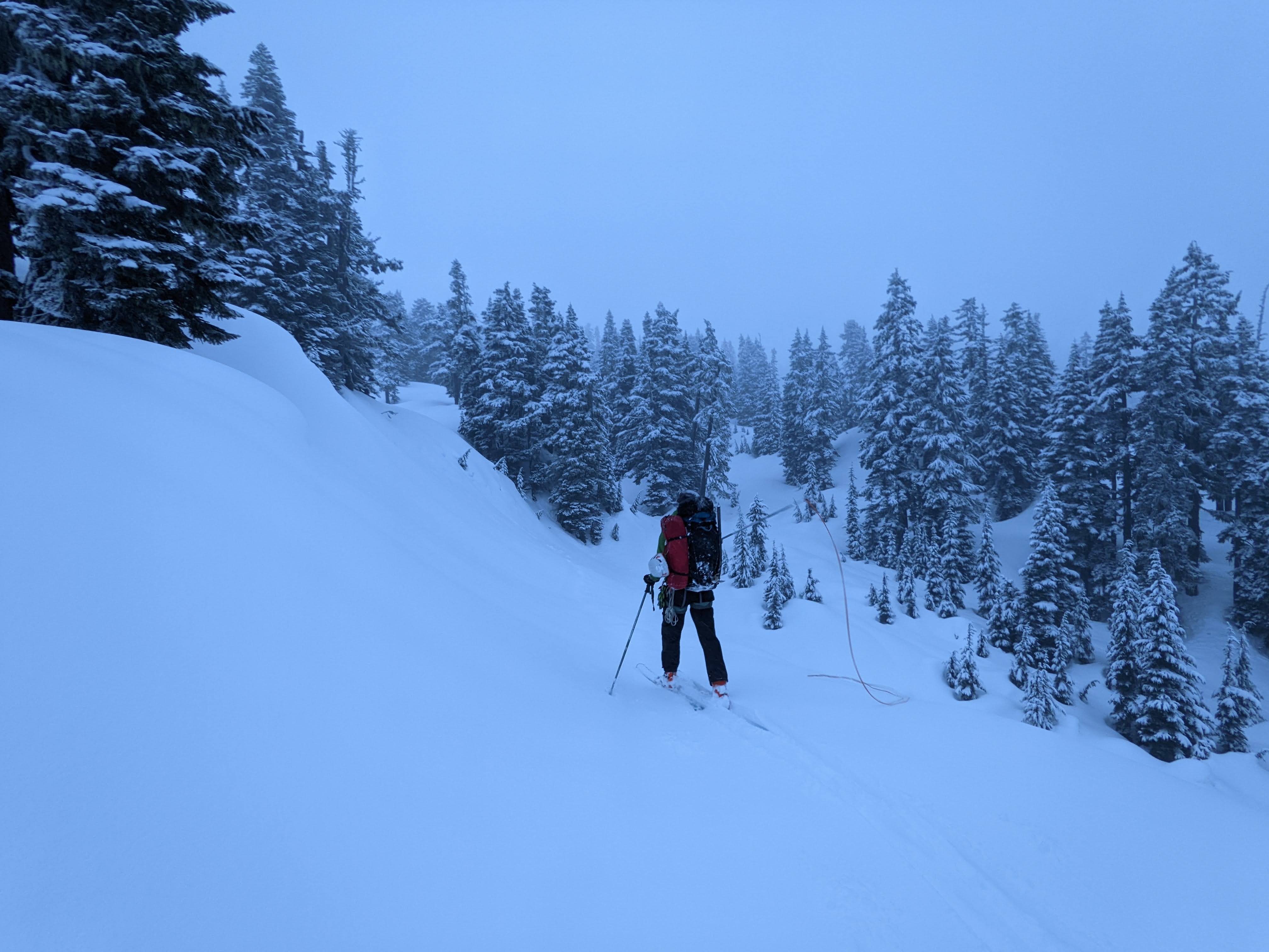
Testing the orange string for navigating in a whiteout
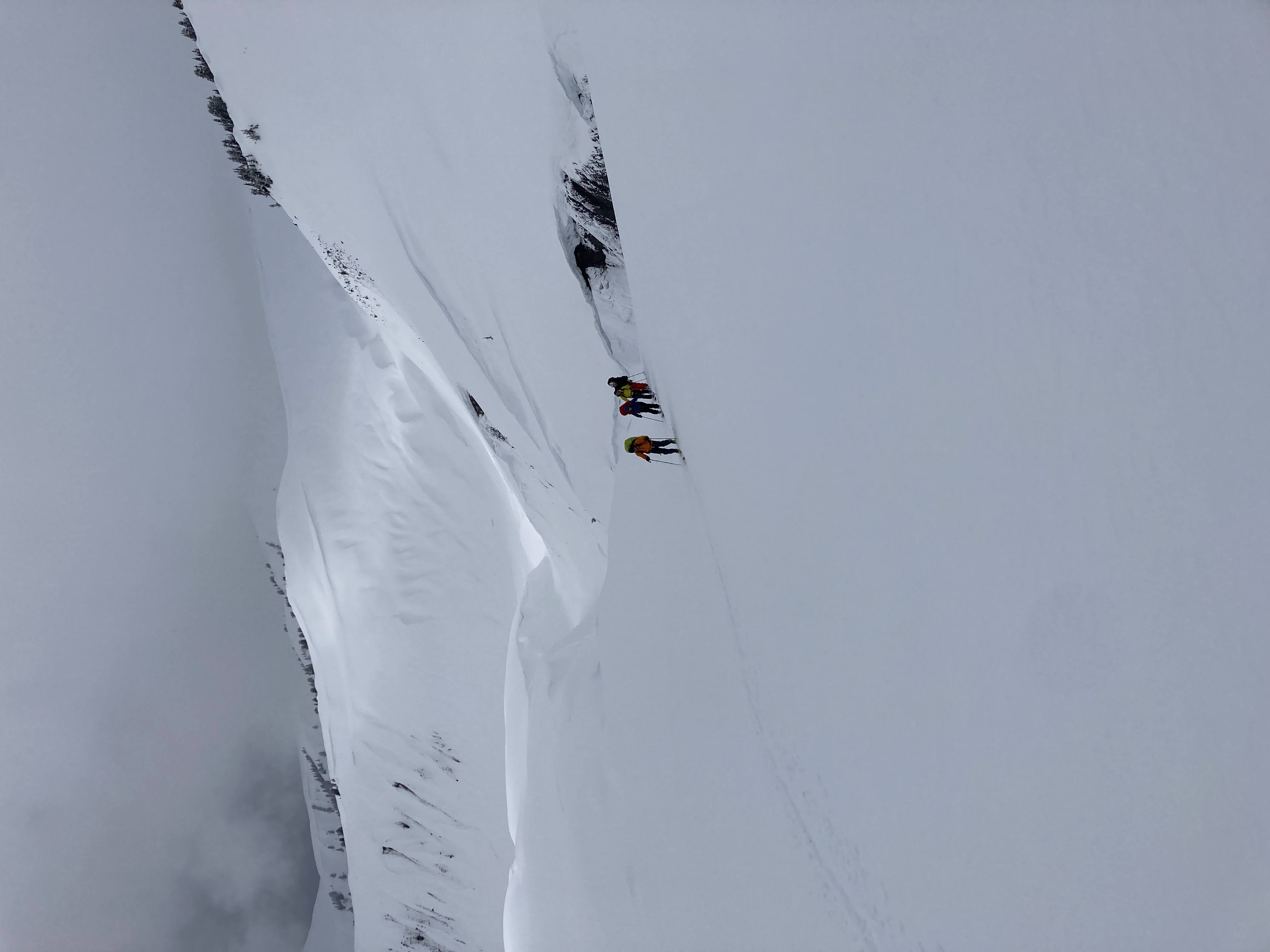
We made it to Elfin late Friday afternoon in cloudy but not super stormy weather. Ross waited at Red Heather for Anya who needed to work until 6pm in Vancouver (they arrived at the Elfin warming shelter at 1am…). Ring Creek is always tricky to navigate without getting pulled down into the deeper creek valleys so I set off early Saturday morning with Emi and Zack, testing out my orange string for skiing in flat light. A few people asked if I fly fished… Surprisingly, Ring Creek went smoothly and fairly quickly we found ourselves below the Opal Cone discussing options while eating an early lunch. If we went much further we would be most of the way across the Neve if a storm hit but the partially clear skies and snow covered mountains peeking out of the clouds drew us in. We continued climbing up to the high point.
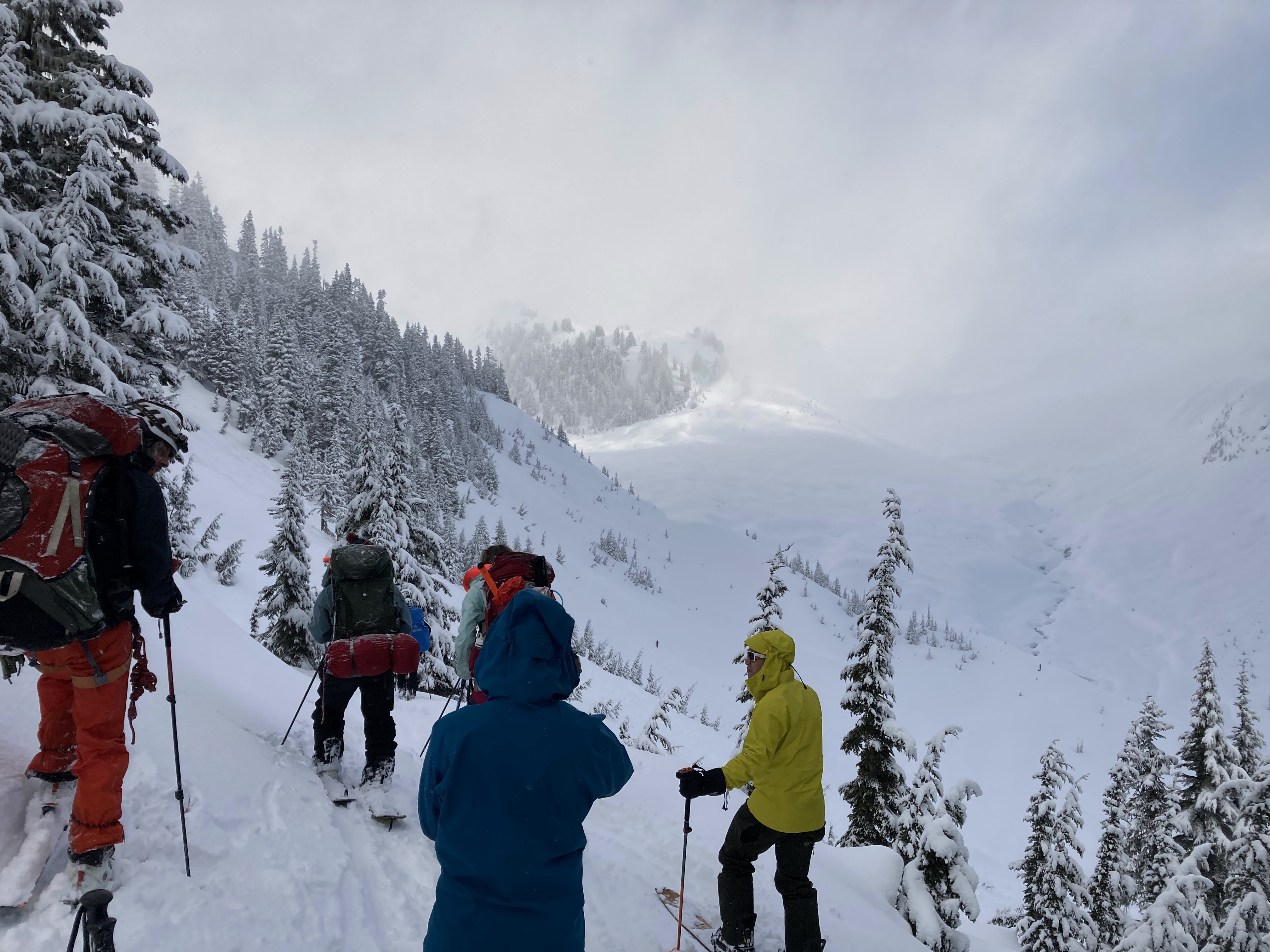
Deciding if we should descend into Ring Creek
Low snow meant we could cross the creek by bridge

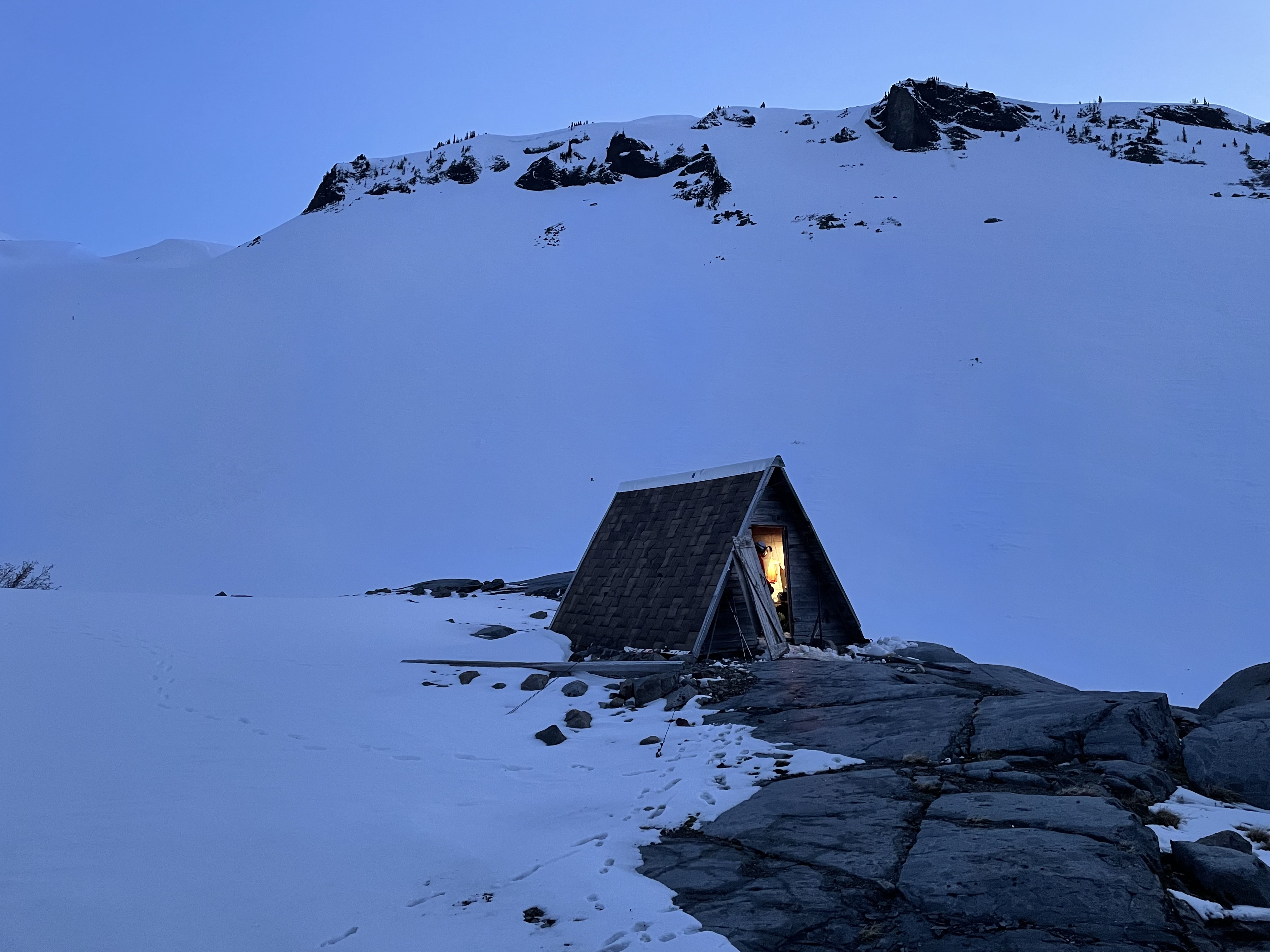
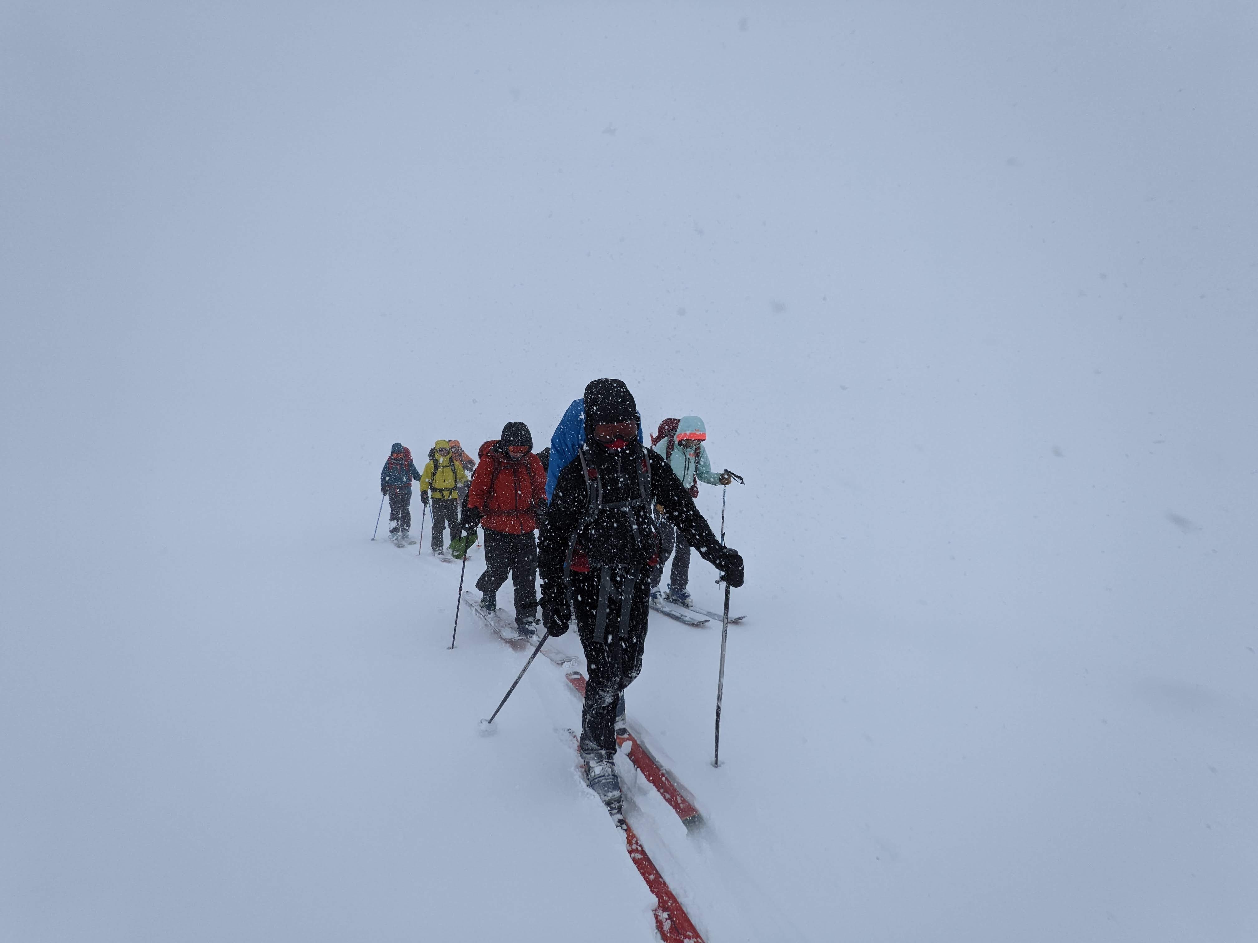
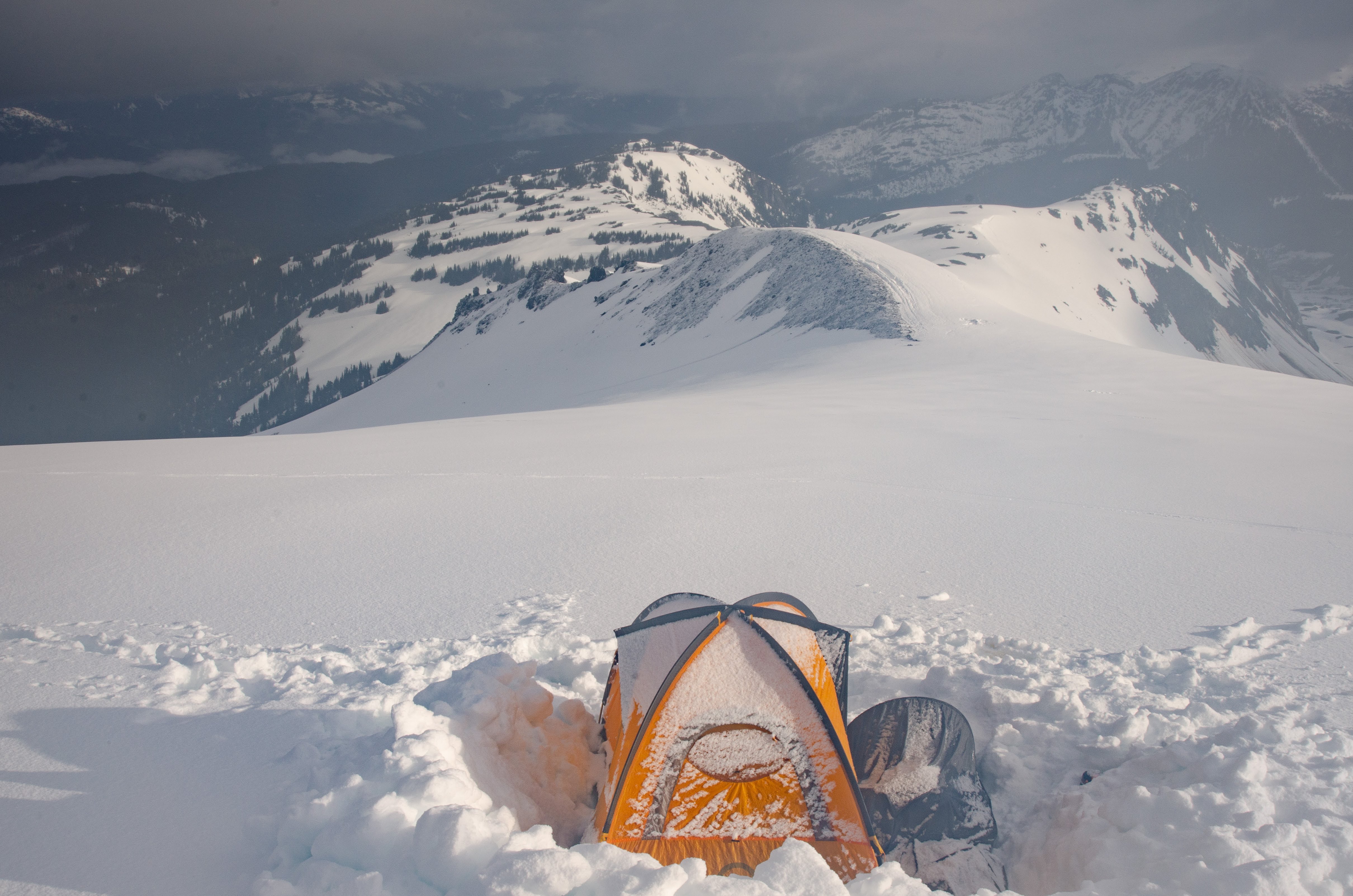
As the front of the group arrived it began to snow and fairly soon we could not see anything. I was concerned the back of the group would lose our track. Once we had all regrouped, I got out my orange string for detecting windlips/cornices, the compass and GPS. We progressed slowly into the storm. At one point the orange string disappeared over an edge I could not see and I was glad to have been using it. The longer you stare into complete white when navigating the more you imagine landforms and slopes that are not real but before too long we were regrouping in the crevasse field above the Sharkfin to take skins off. It is one thing to navigate for a group of 10 skinning up but it is quite another to ski down as a group in a complete whiteout (particularly for beginners). I went down slowly tossing the orange string out ahead and looking back every so often to count that everyone was managing to keep up. By the time we made it to the glaciology huts it was a full blizzard and I was very glad the huts were there.

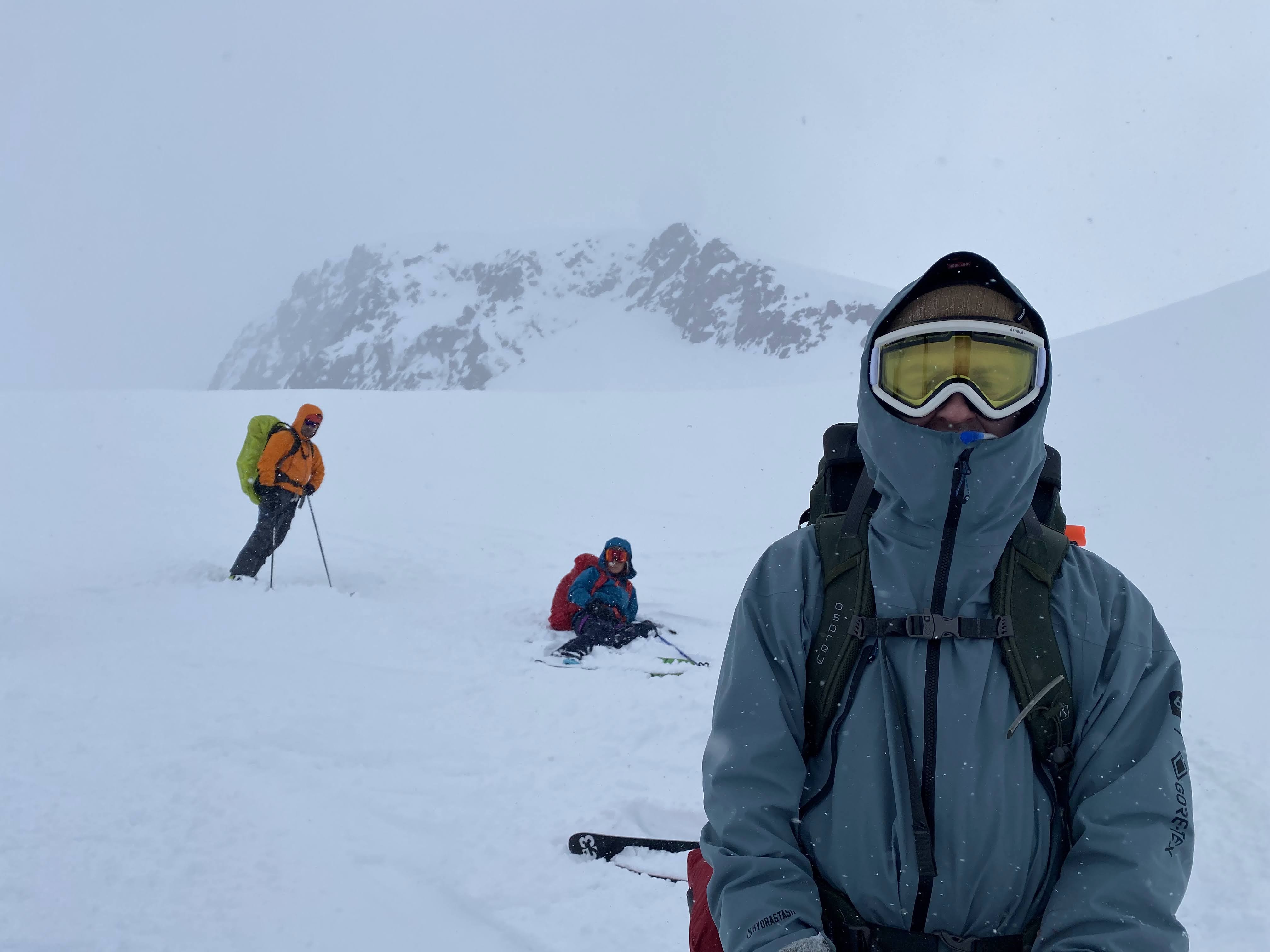

The next morning we woke to hurricane force winds that were pushing people over. We bundled up and got ready to ski across the lake. Luckily the winds were at our back pushing us forward – otherwise there would have been no hope of leaving. Navigating across the lake was far easier than trying to watch out for windlips and crevasses on the Neve but dizzying to look out into the pure white continuously. There was more than an hour of staring at the compass while skiing into nothing until I looked up and thought I could see the far side of the lake. After that we sent the fast skiers down to rescue the cars and the rest of us took our time down the switchbacks which were luckily covered in fresh powder snow.
Reaching the warming shelter on the far side of the lake
Brohm Ridge (May)
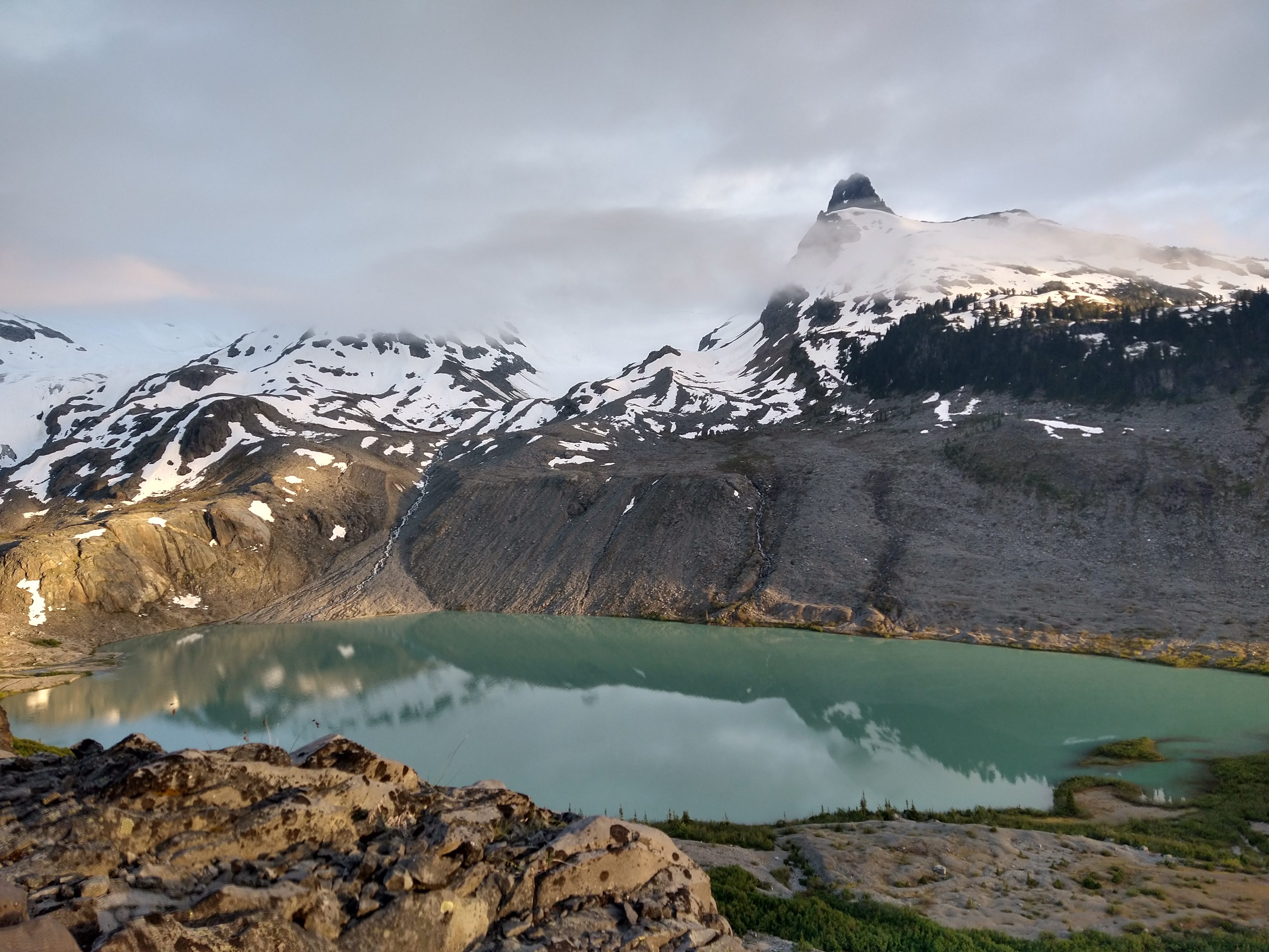
A few weeks later, Anya, Allen and I decided to see if we could reach Sentinel Bay from Brohm Ridge. The three of us were all planning a field season studying alpine plants at Sentinel Bay during the summer and we wanted to know about alternative access routes to the field site. We ended up skiing in a whiteout/blizzard for all of Saturday. This time I had not planned the route particularly well and we ended up following a downloaded GPS track up and over the Brohm Pinnacle to gain the Neve. If you dislike exposure this is not the best route to take to get to Garibaldi. Sunday the weather cleared and we woke to beautiful views on the Neve. We skied towards Sentinel Bay along the glacier but decided not to drop into the bay since we still had a long way to ski out.

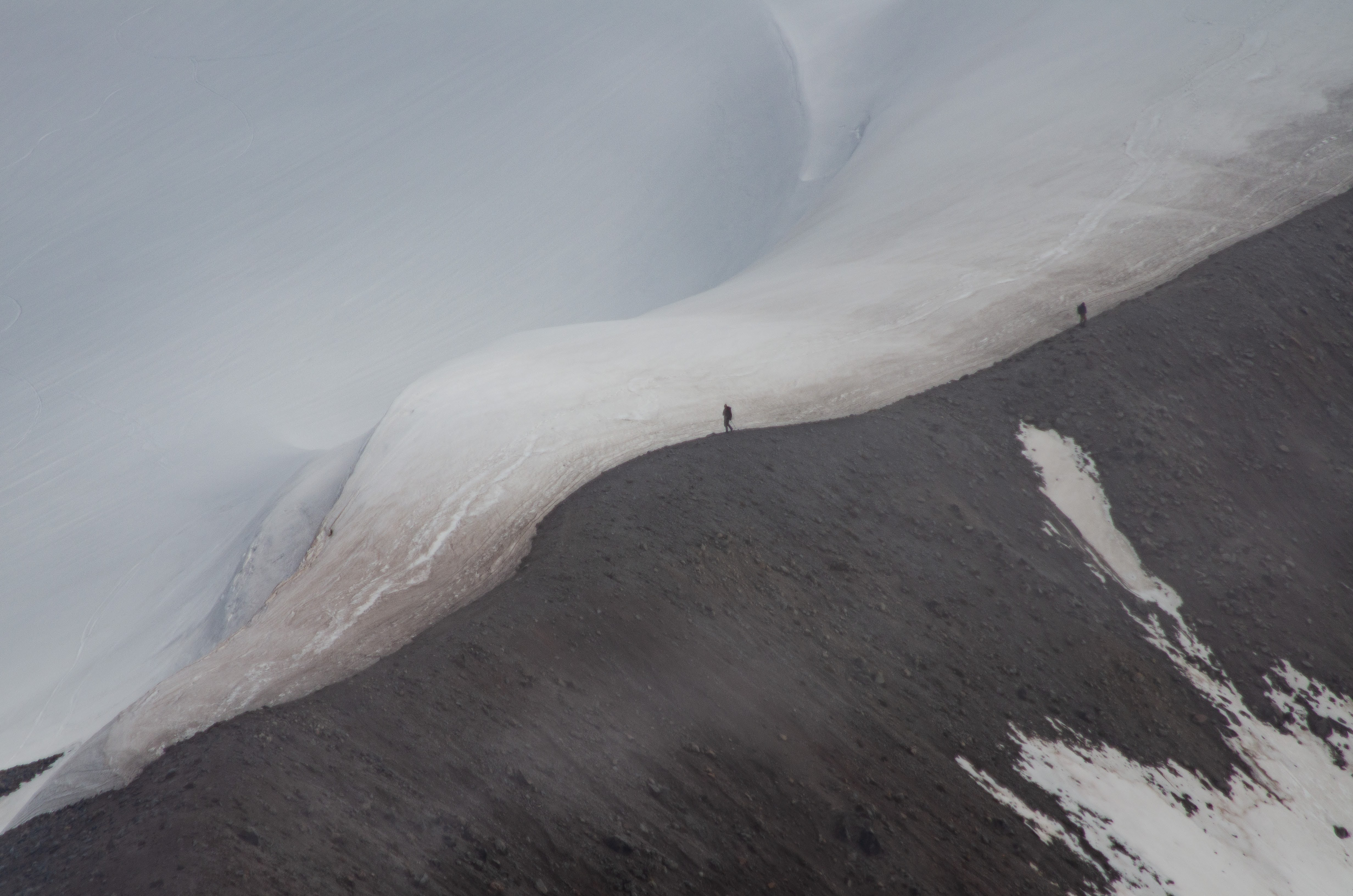
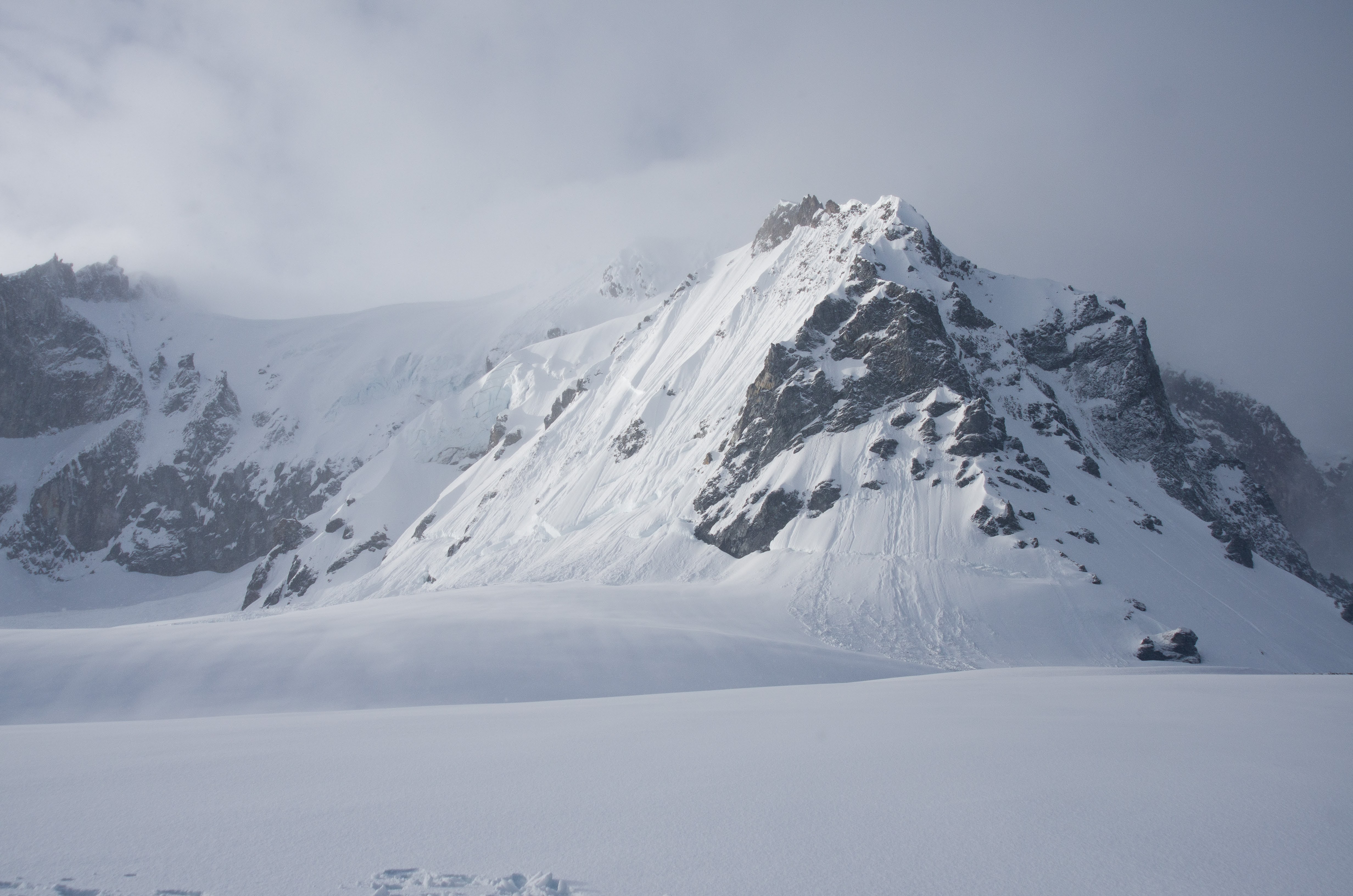
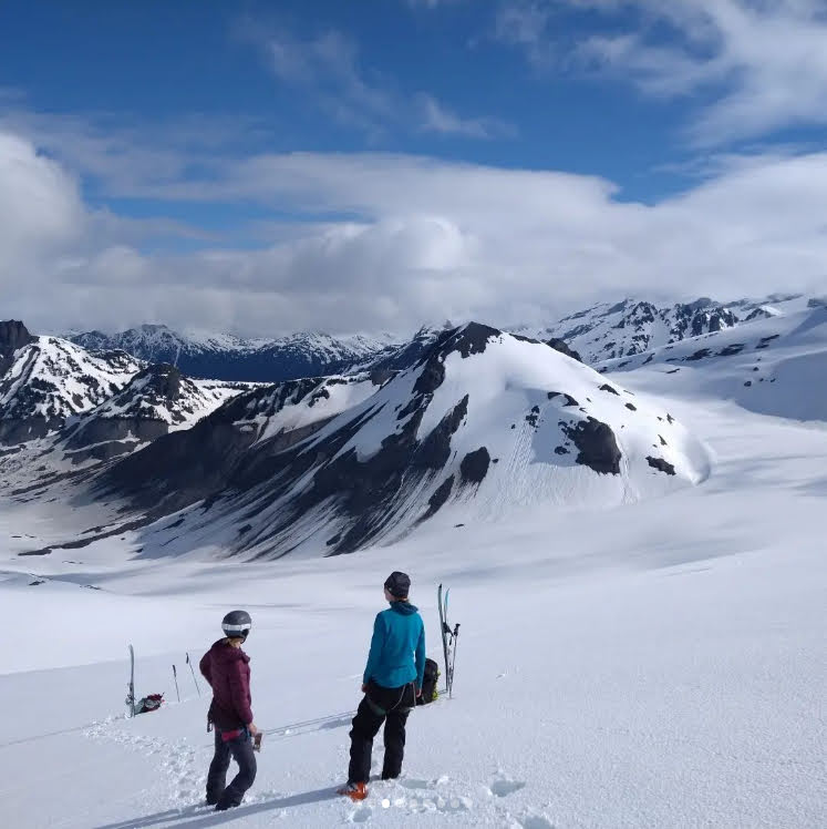
Realizing Sentinel Bay is a long way from Brohm Ridge
(Photos by Allen Zhao)
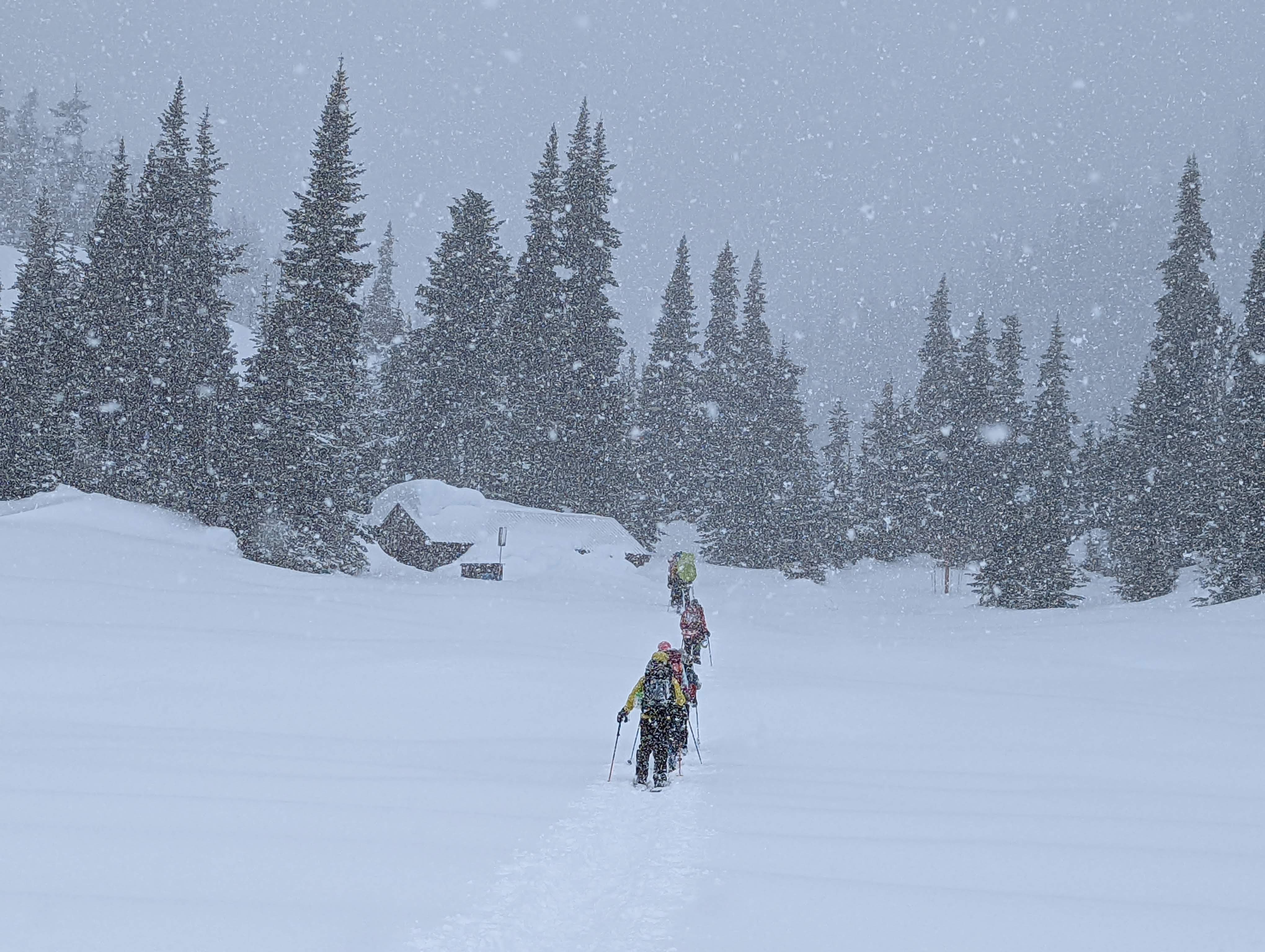
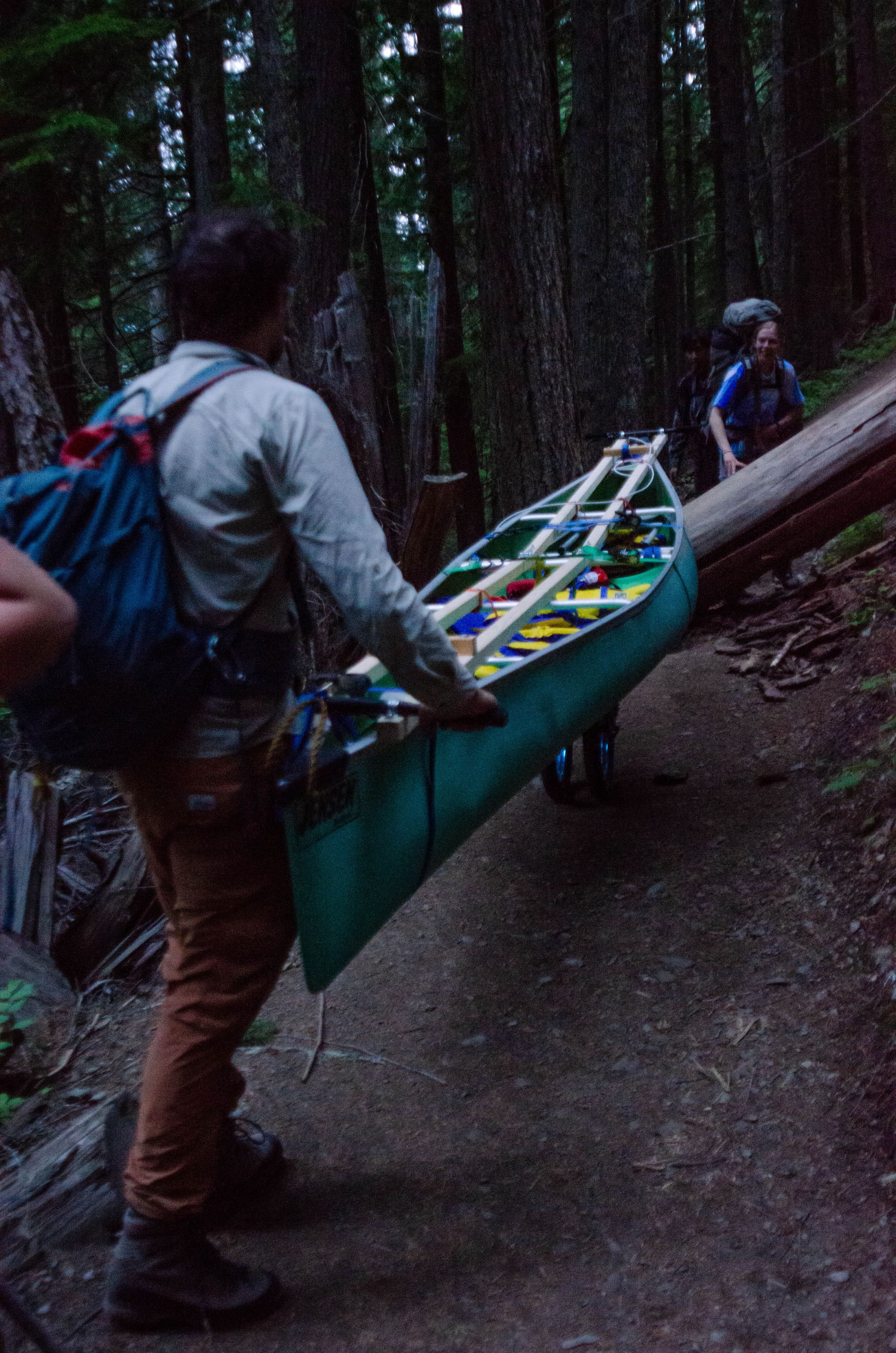
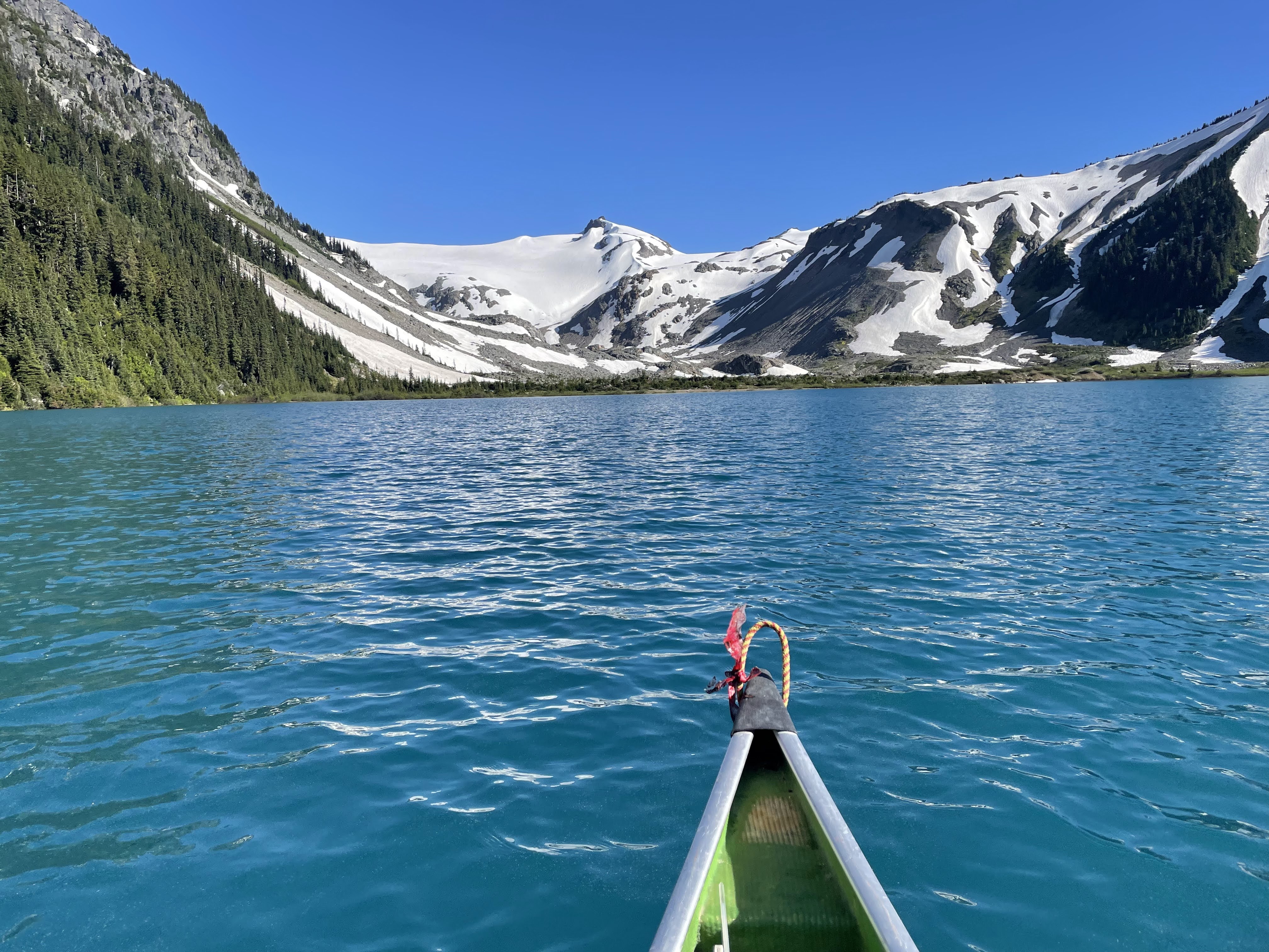
Hauling a canoe and kayak up to Garibaldi Lake (July 15)
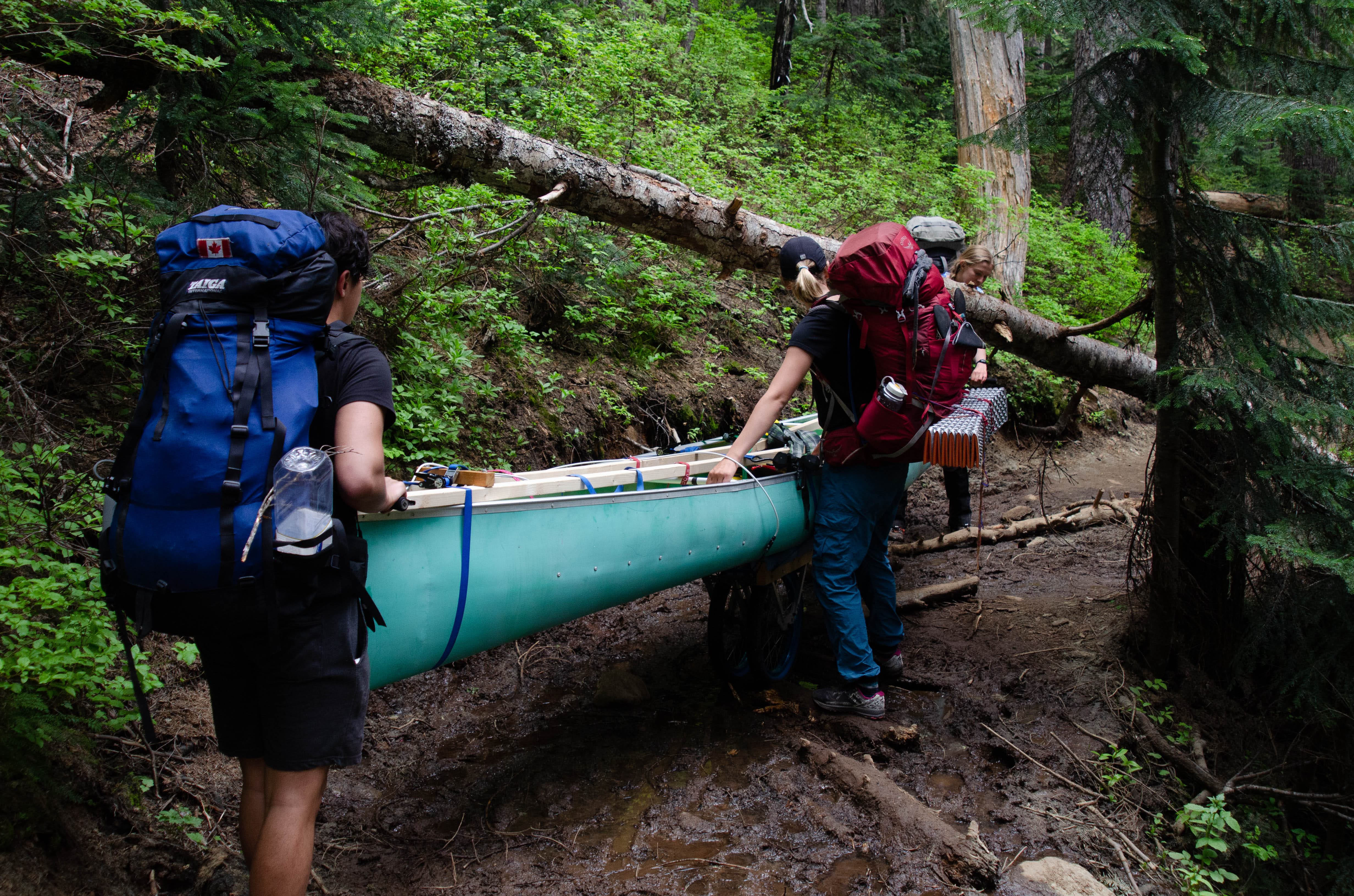
We (Anya, Allen, Tyler, Tom and I) left the Brew/catskiing parking lot around 3am Friday morning to avoid running into people on the trail. Piotr and Krista lent us a sturdy trolley with brakes for the trip that worked amazingly well. Thank you! After attaching the canoe to the trolley with a number of voile and ratchet straps, we departed the Rubble Creek parking lot around 4am with four of us also carrying 8 day packs. The first 500m of trail were fairly rocky and made us concerned for the amount of distance we still had to cover. However, by the 2.5 km sign we had found a fairly good system with two people hauling at the front and one person directing the back. The bridges were quite challenging to navigate with a 16ft canoe and railings on either side but we managed to lift the canoe over them.
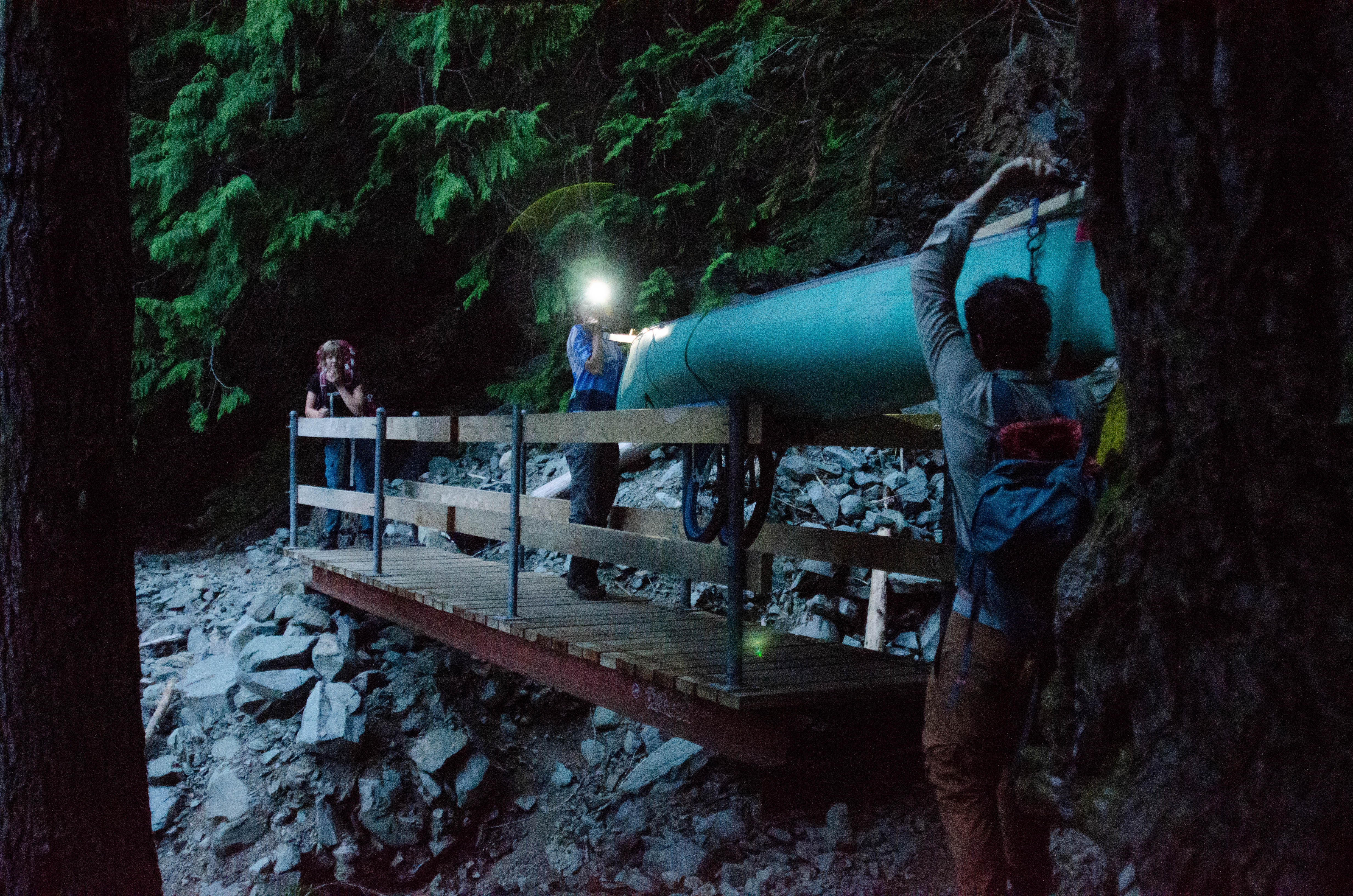
(Photos by Allen Zhao and Tyler Chai)
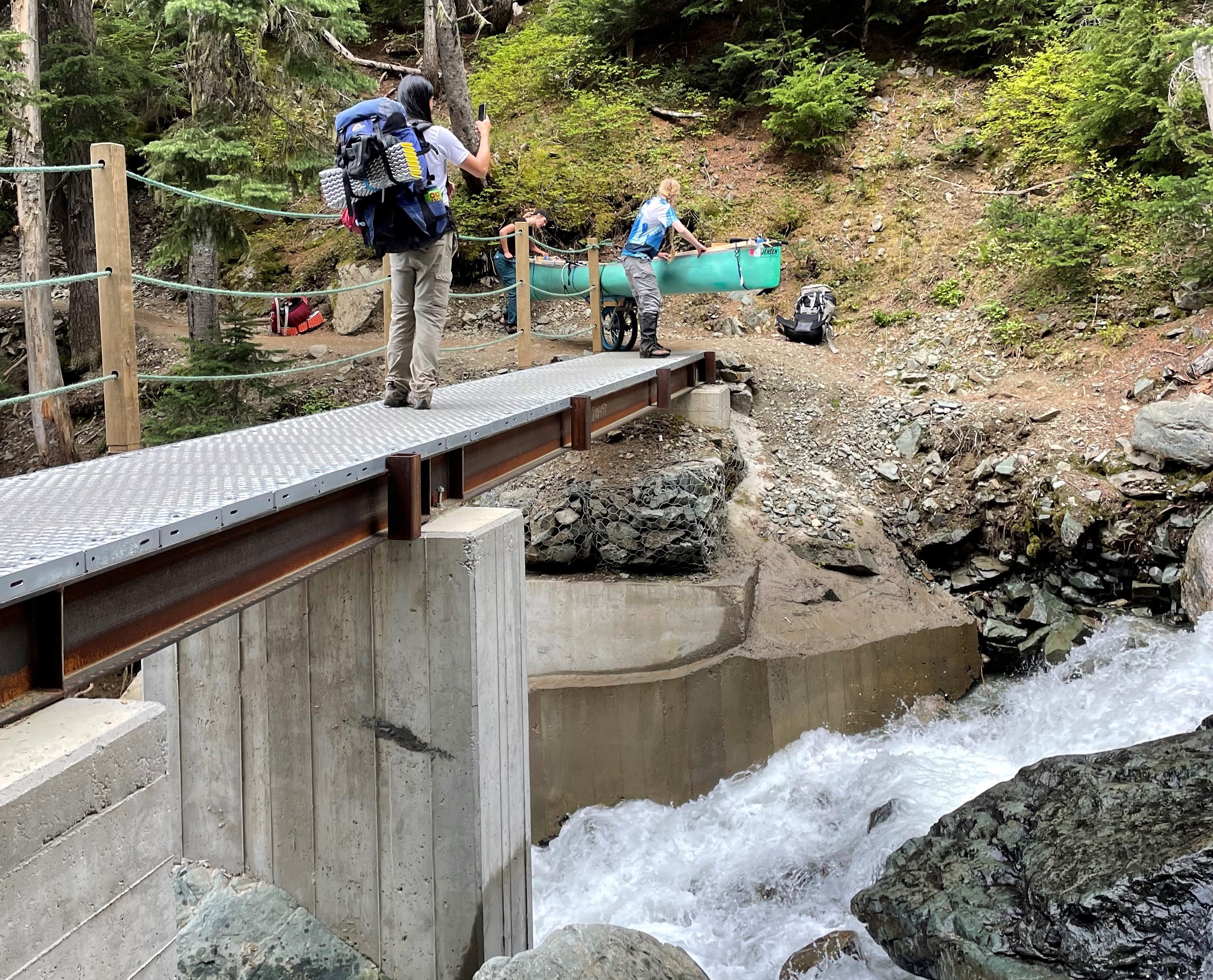
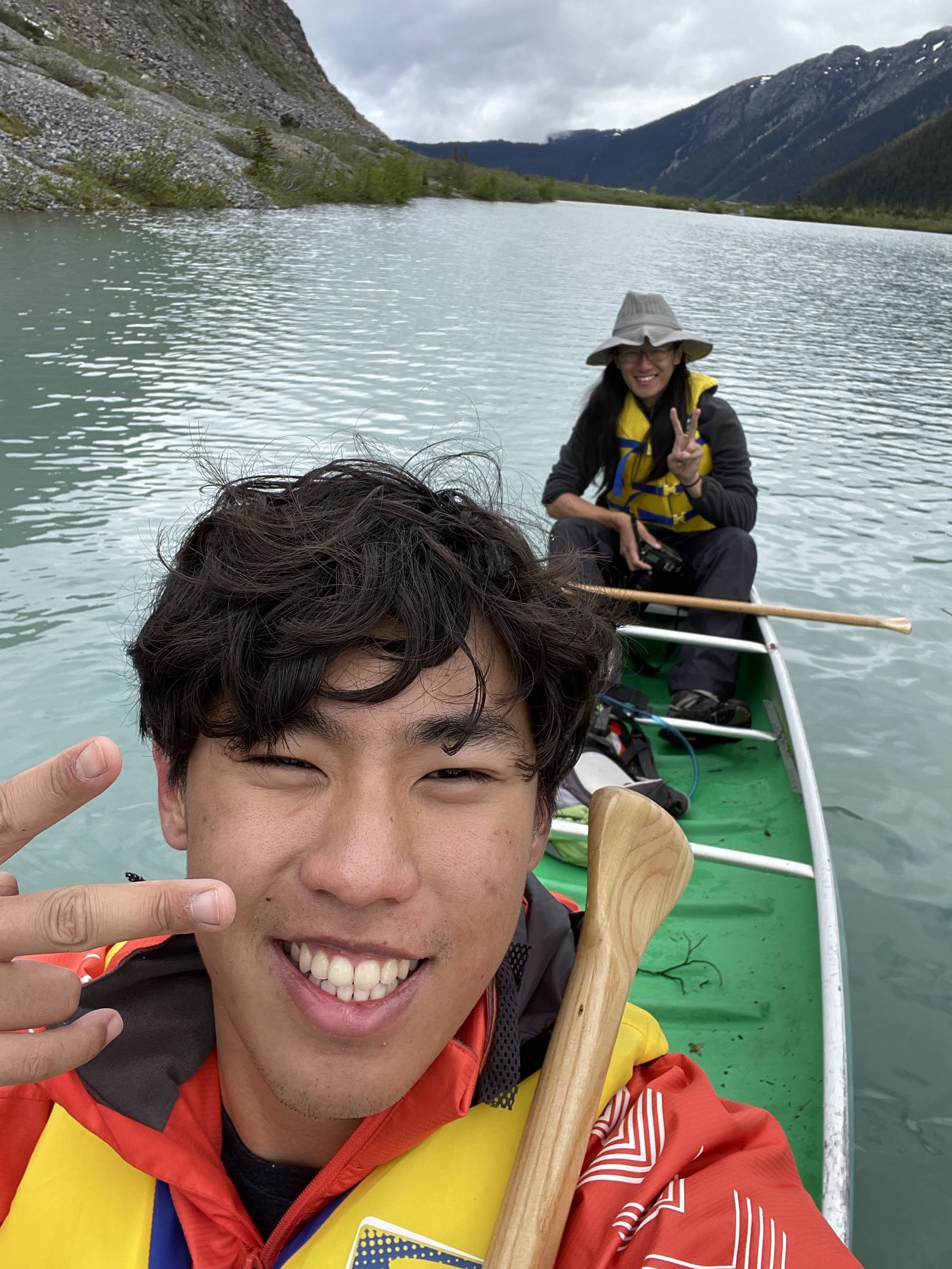
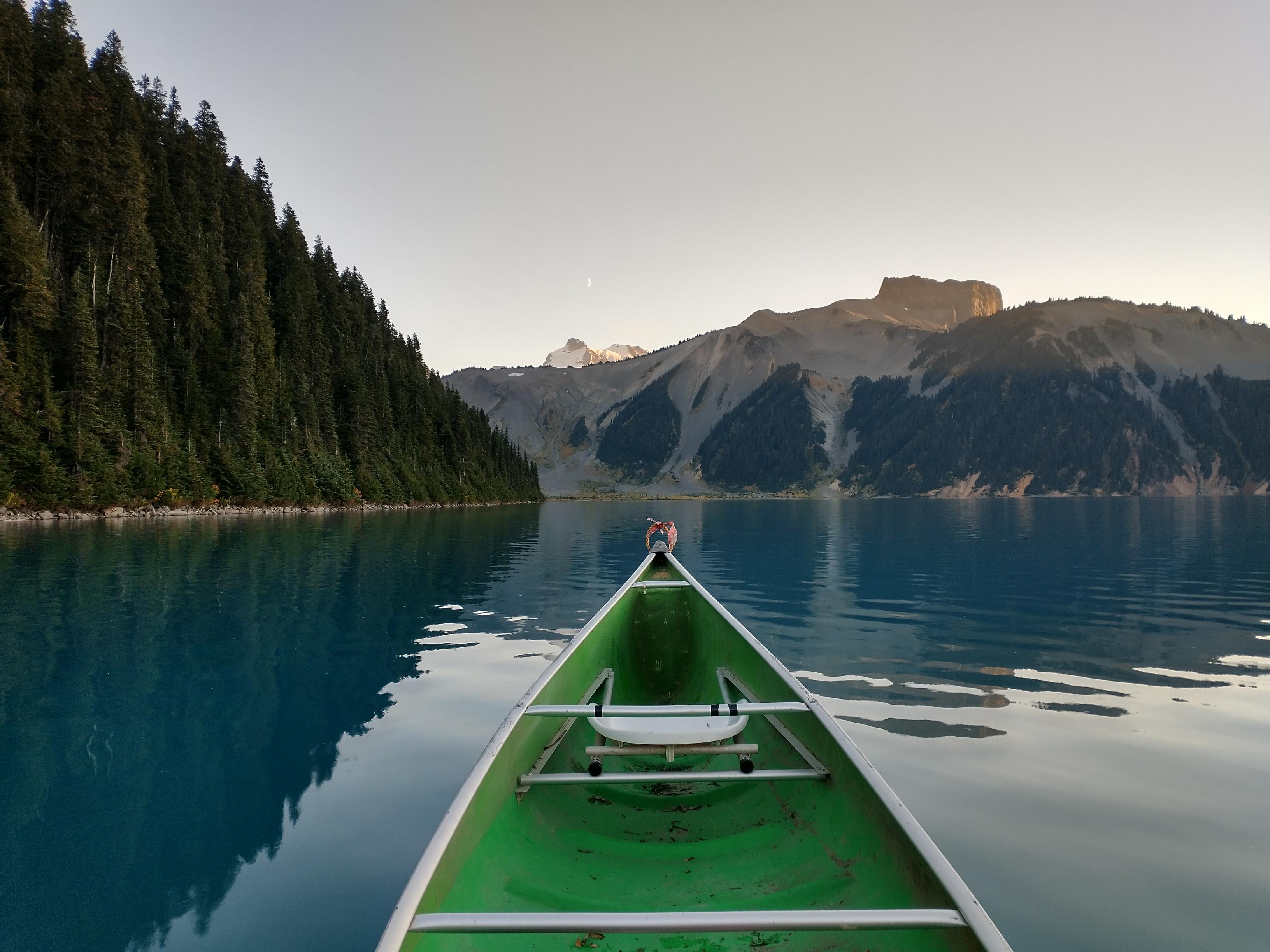
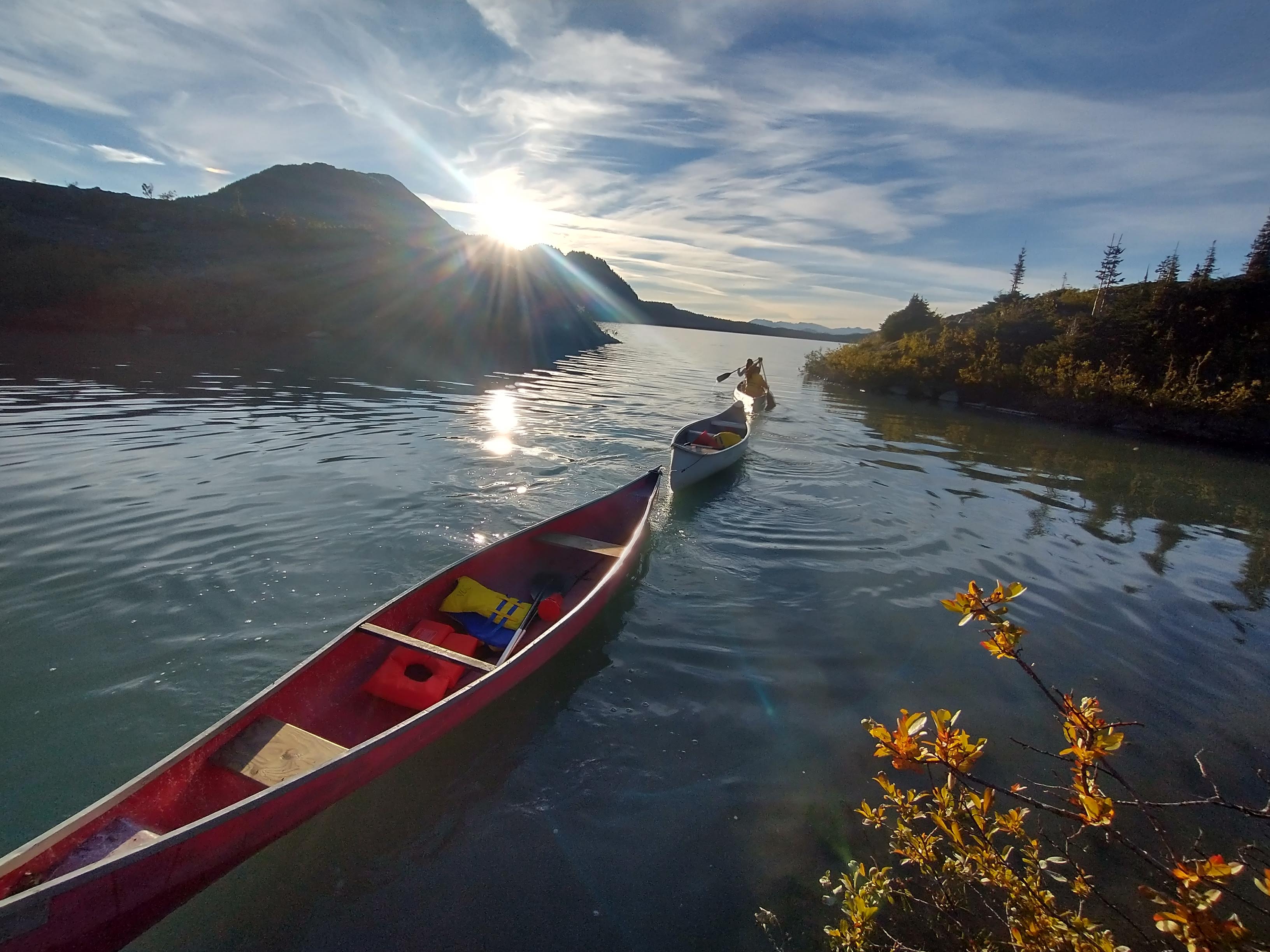
At the junction to Taylor Meadows, Tom had to leave us to try to get back to Vancouver for 10am. The four of us continued on to the lake. One kilometer from the lake, we decided to head to the lake, drop our packs and come back to carry the boat. This last kilometer involved more carrying than rolling the trolley but we got up to the lake around 9:30-10am. At the lake, I left Allen, Anya and Tyler with the canoe and brought the trolley back down to the cars. I then picked up the ORU kayak to bring up to the lake for our week of fieldwork at Sentinel and Sphinx Bays. The second trip up the switchbacks was long but I managed to reach the boathouse for the paddle by ~5pm. After an interesting lake crossing with more wind than I would have preferred, we all made it to Burton Hut at ~7pm. Now, the canoe has been stored under the ranger’s station’s porch for the winter and can be used for future workhikes to the hut in the summer.
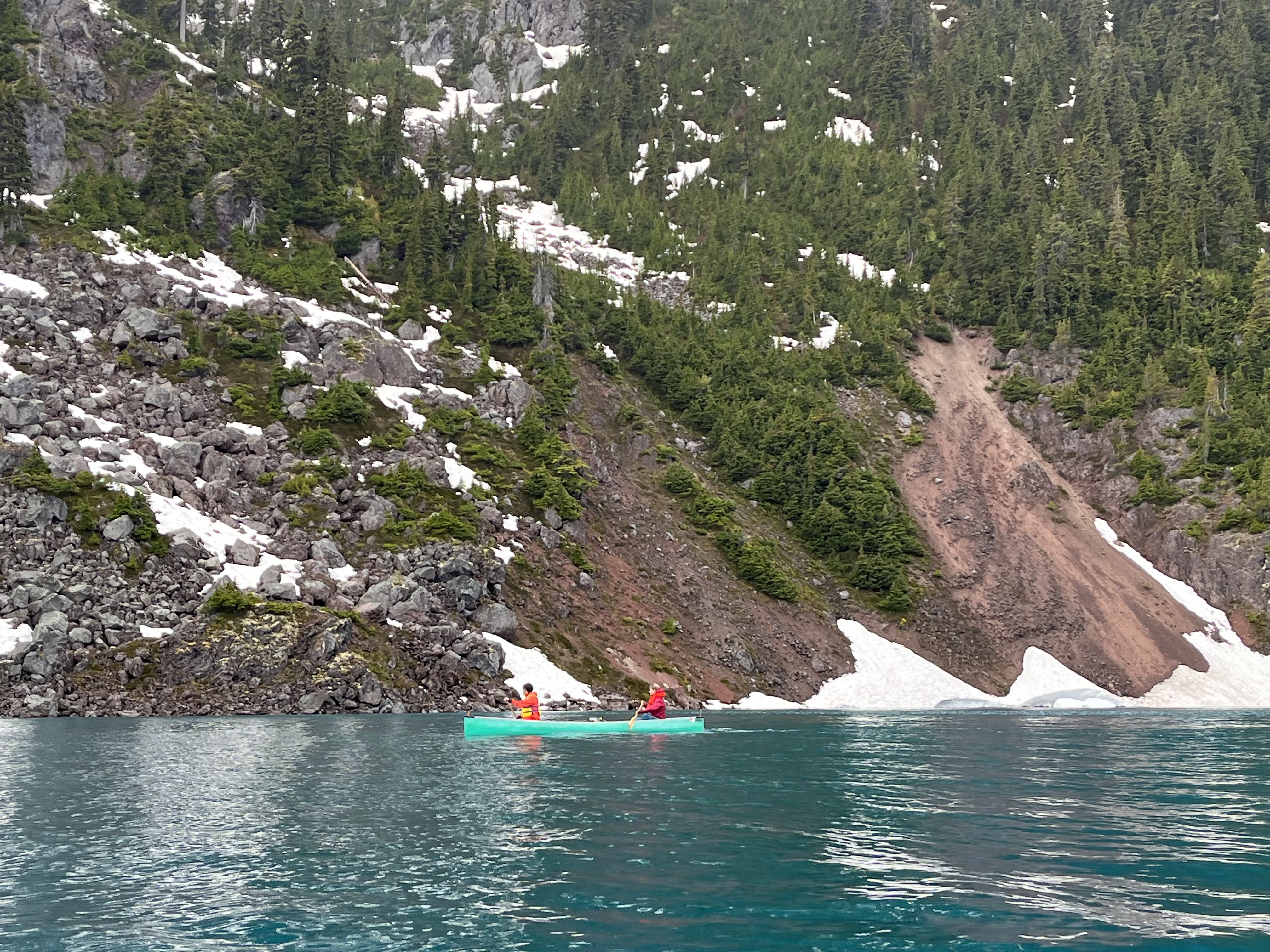
Boat finally on the water where it belongs
(Photos by Allen Zhao and Tyler Chai)
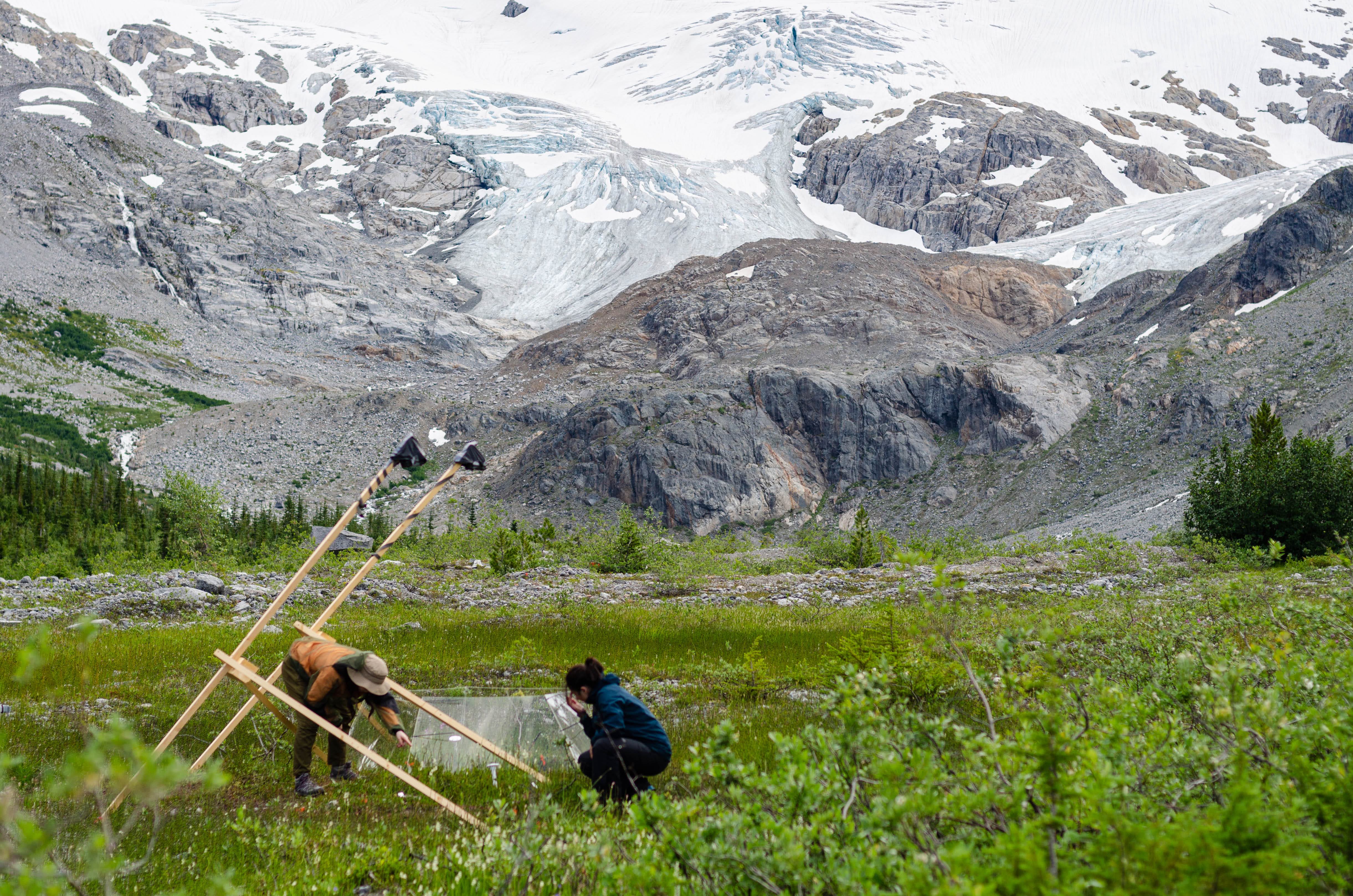
Fieldwork (July 16-21, August 4-9, Sept 23-25 and Sept 30 – Oct 2)
This summer we received funding through the BC Parks Living Labs grant to set up a research site at the far side of Garibaldi Lake to study the effects of climate change (warming and glacial succession) on alpine plants. You can read more about the work here: https://garibaldialpine.wixsite.com/garibaldialpine
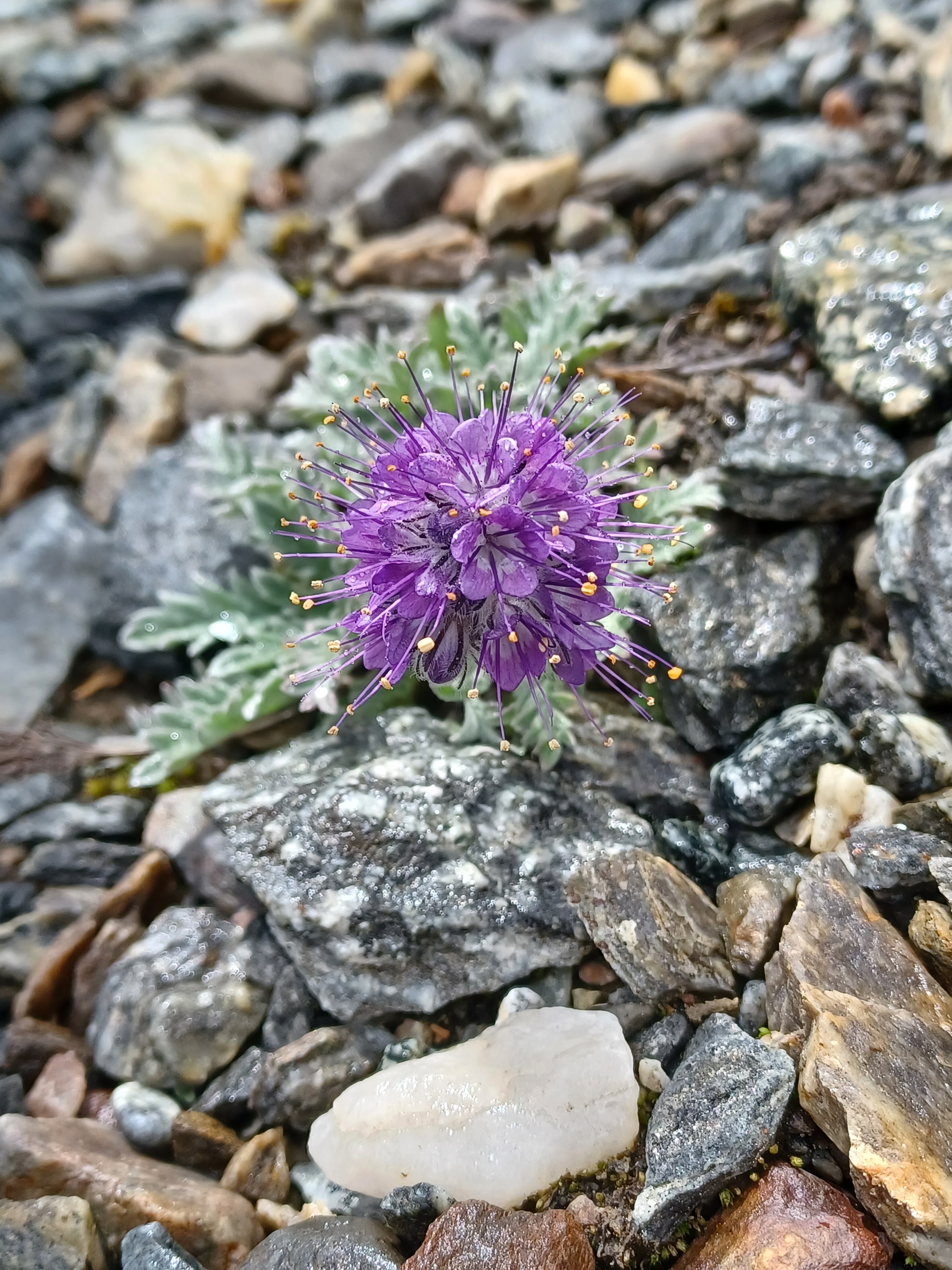
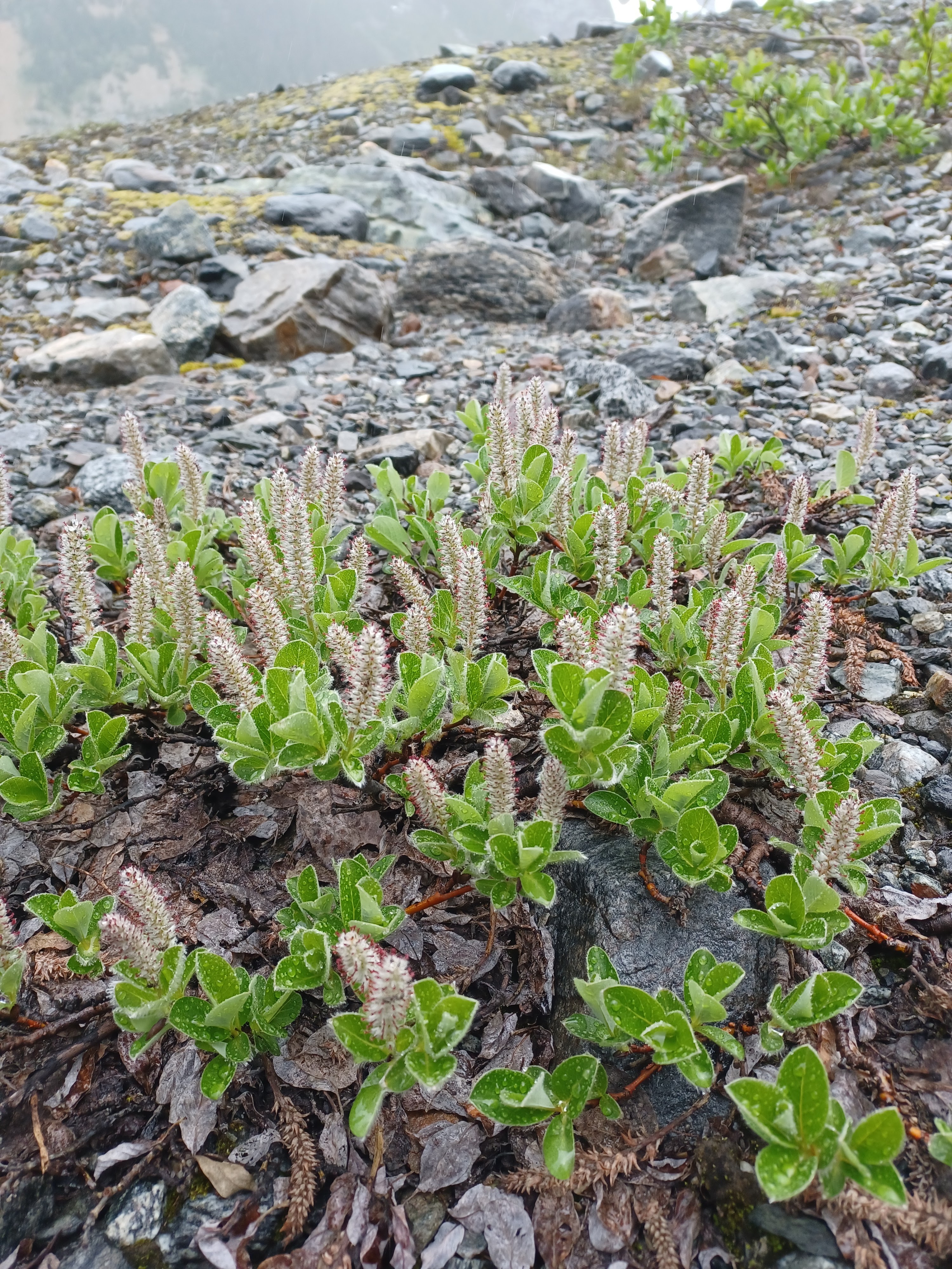
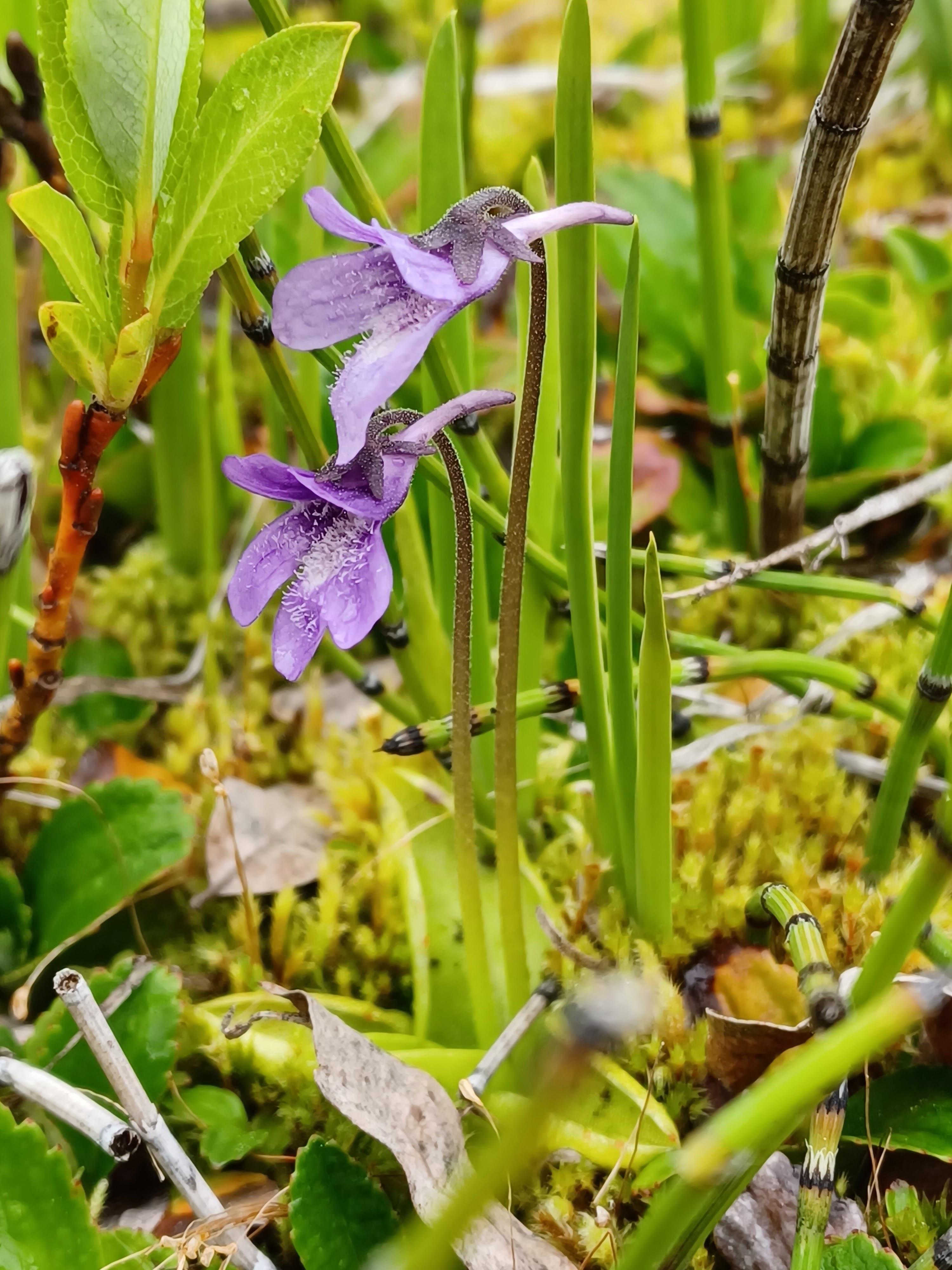
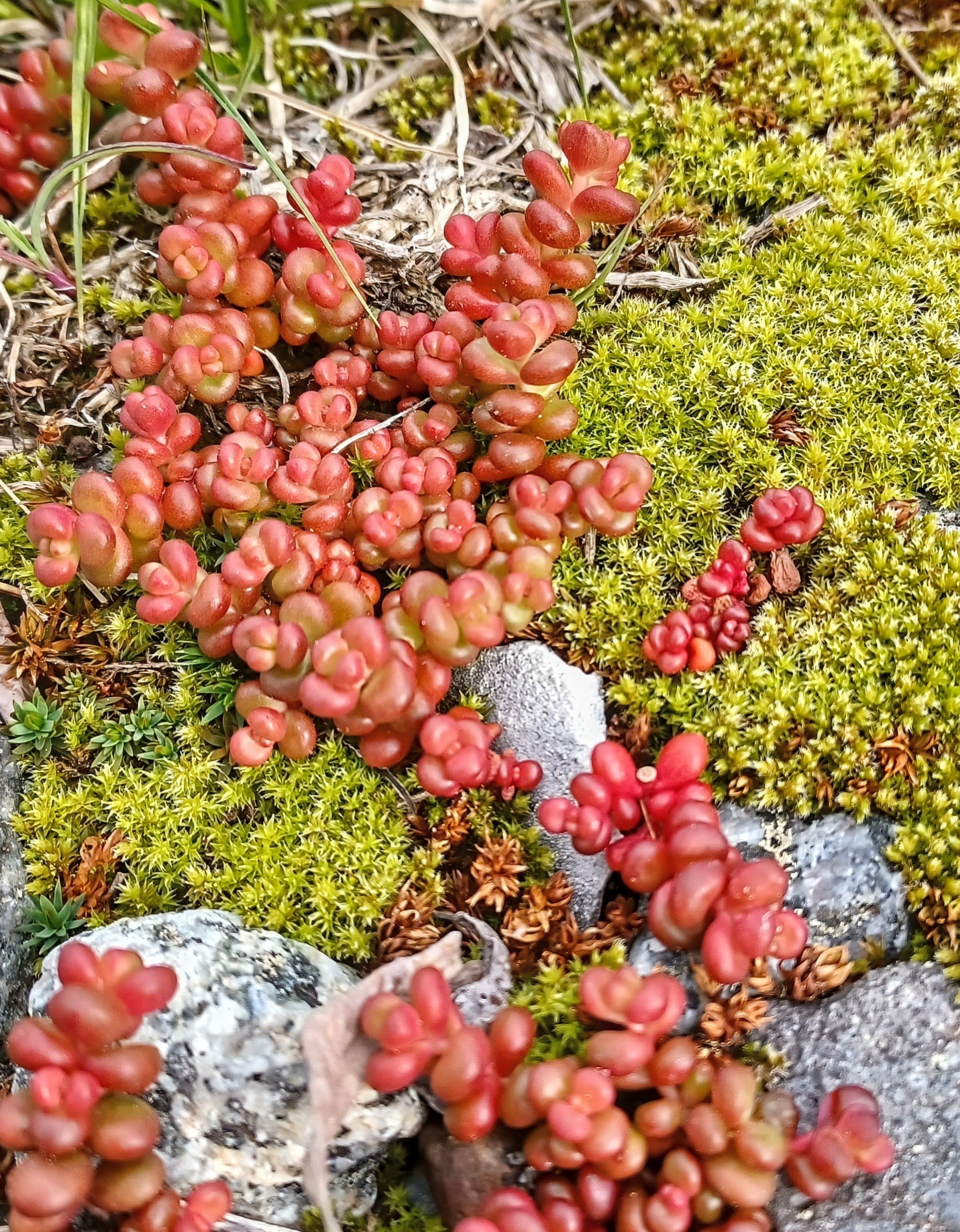
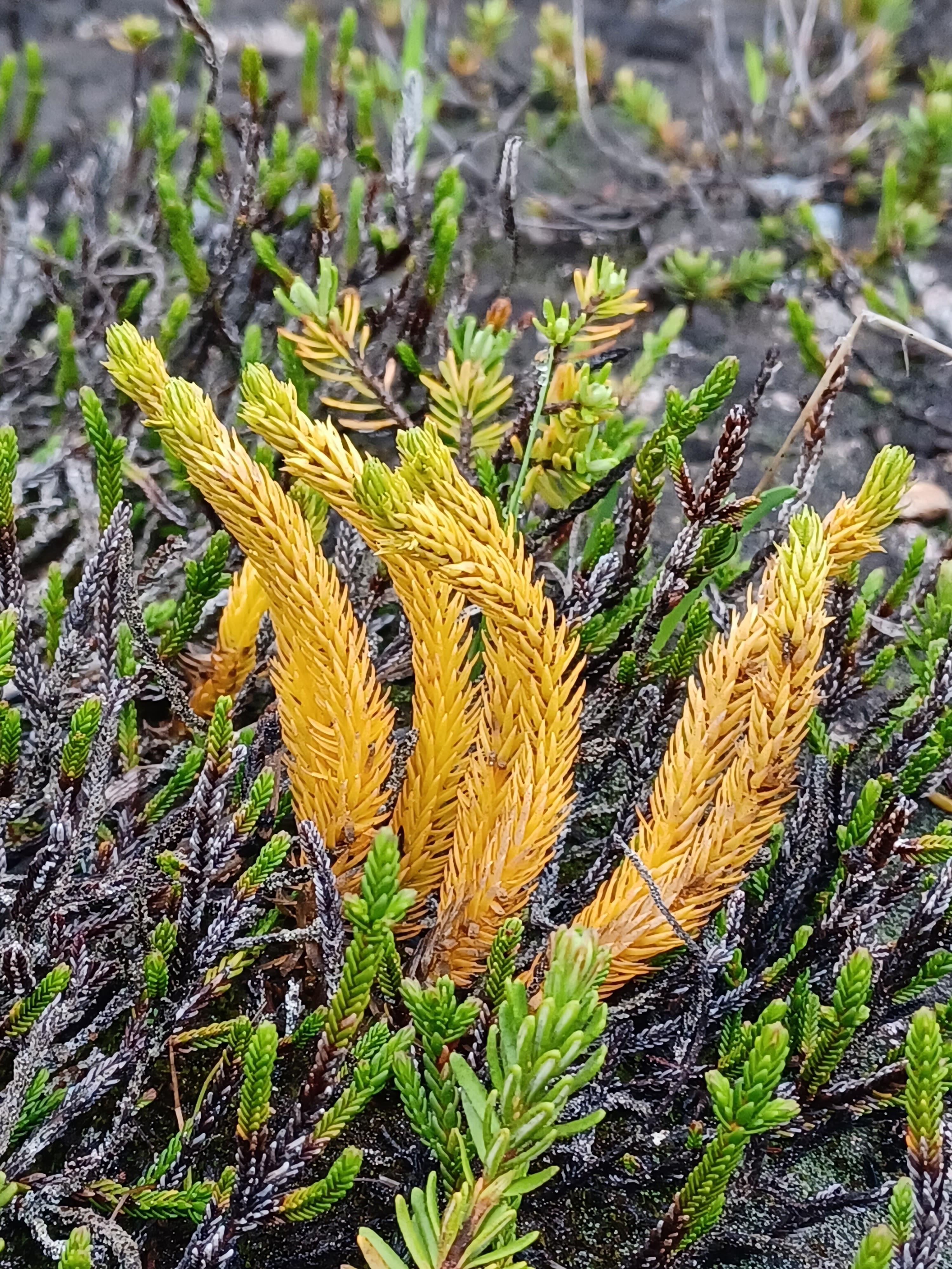
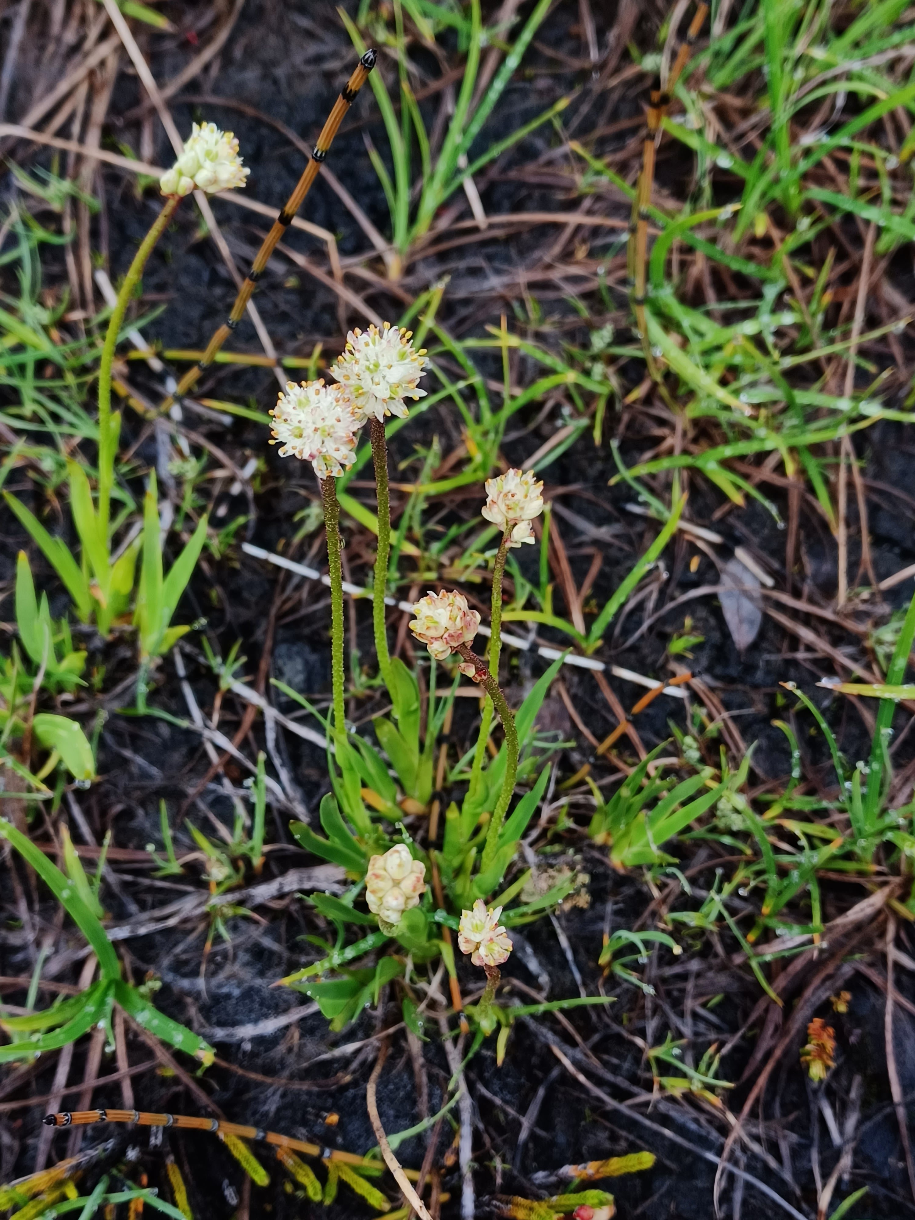
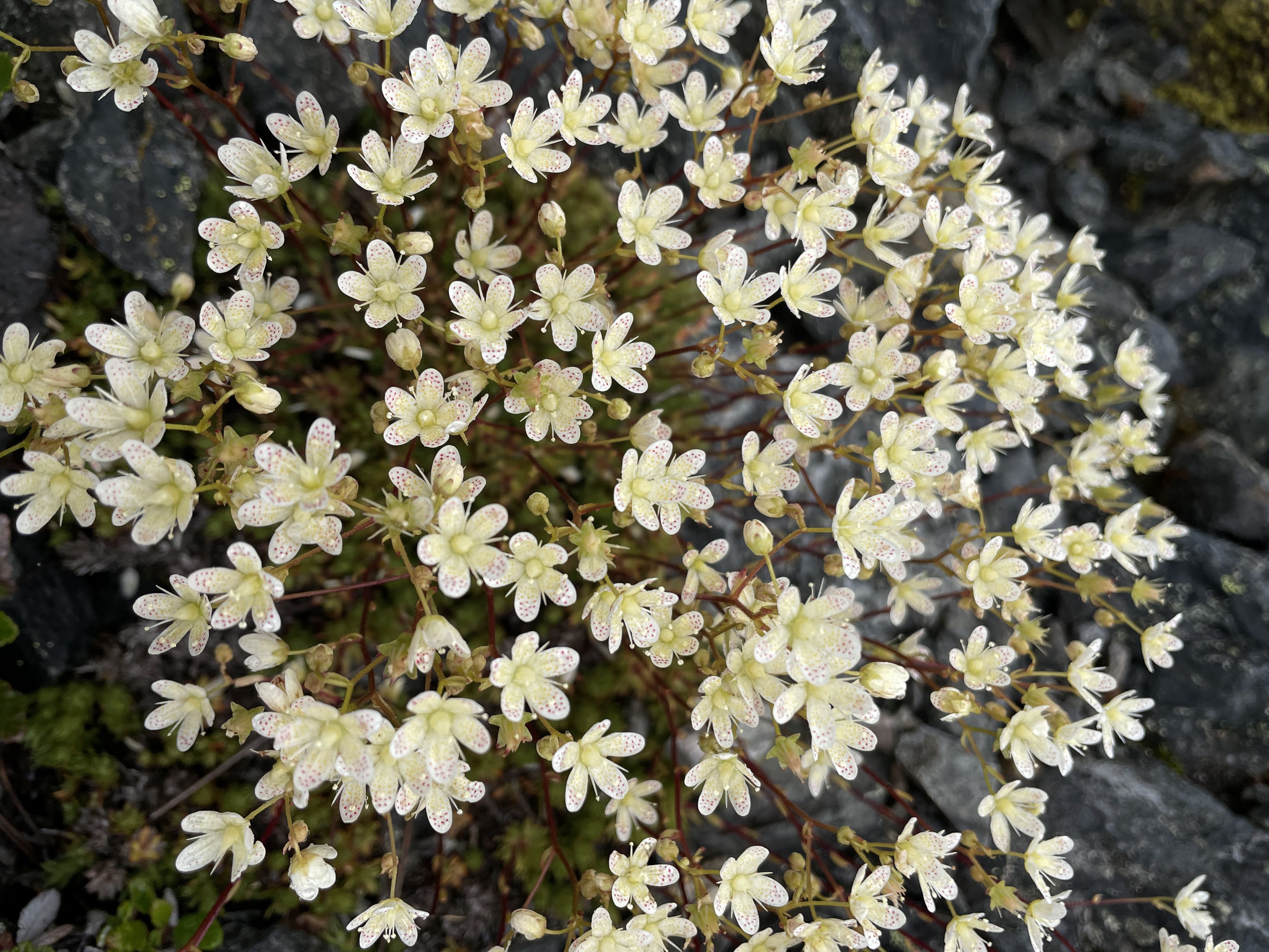
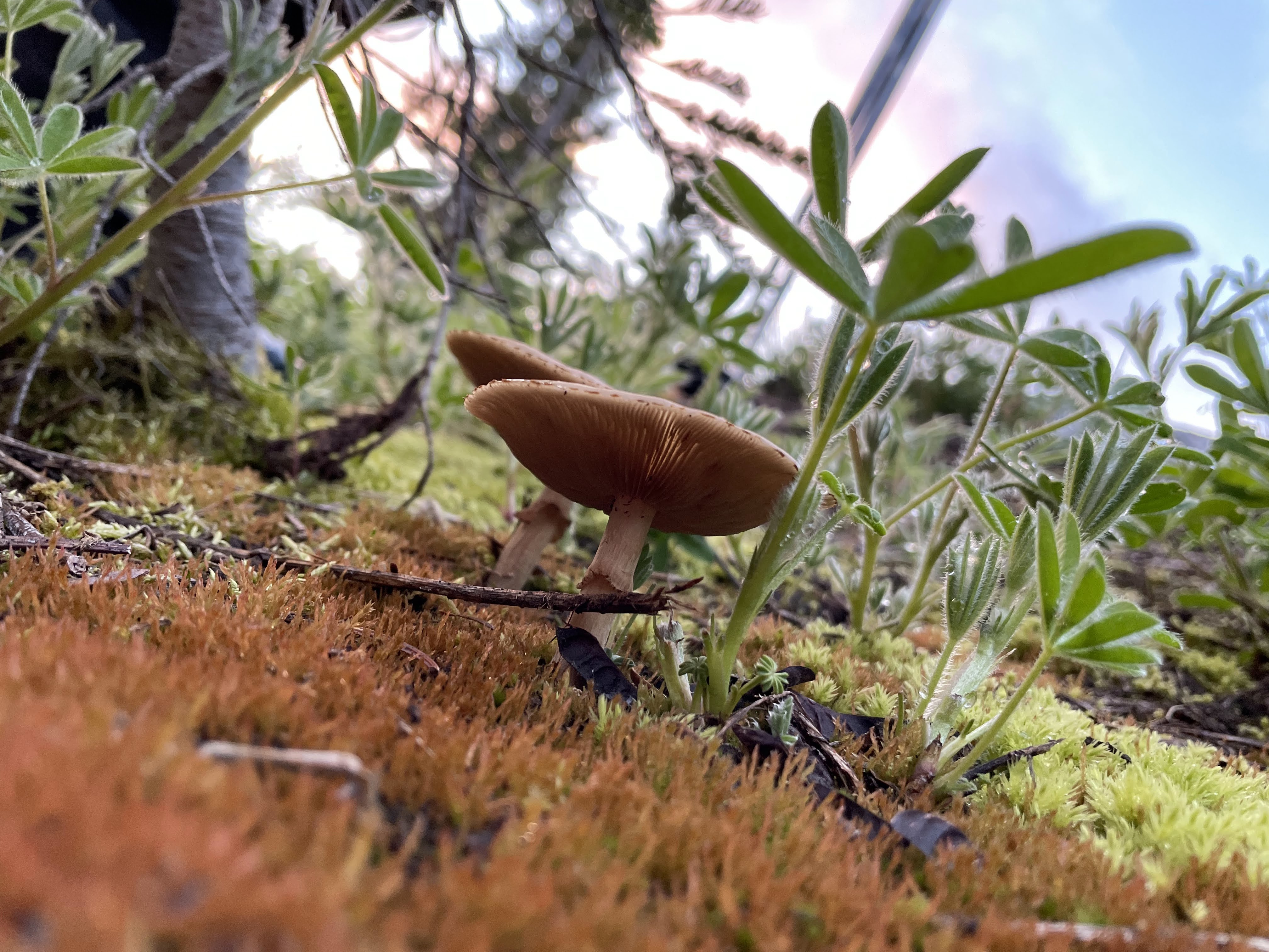
Photos of alpine plants in Garibaldi by Allen Zhao and Caroline Jung. Can you tell what they are based on this plant key or i-naturalist?
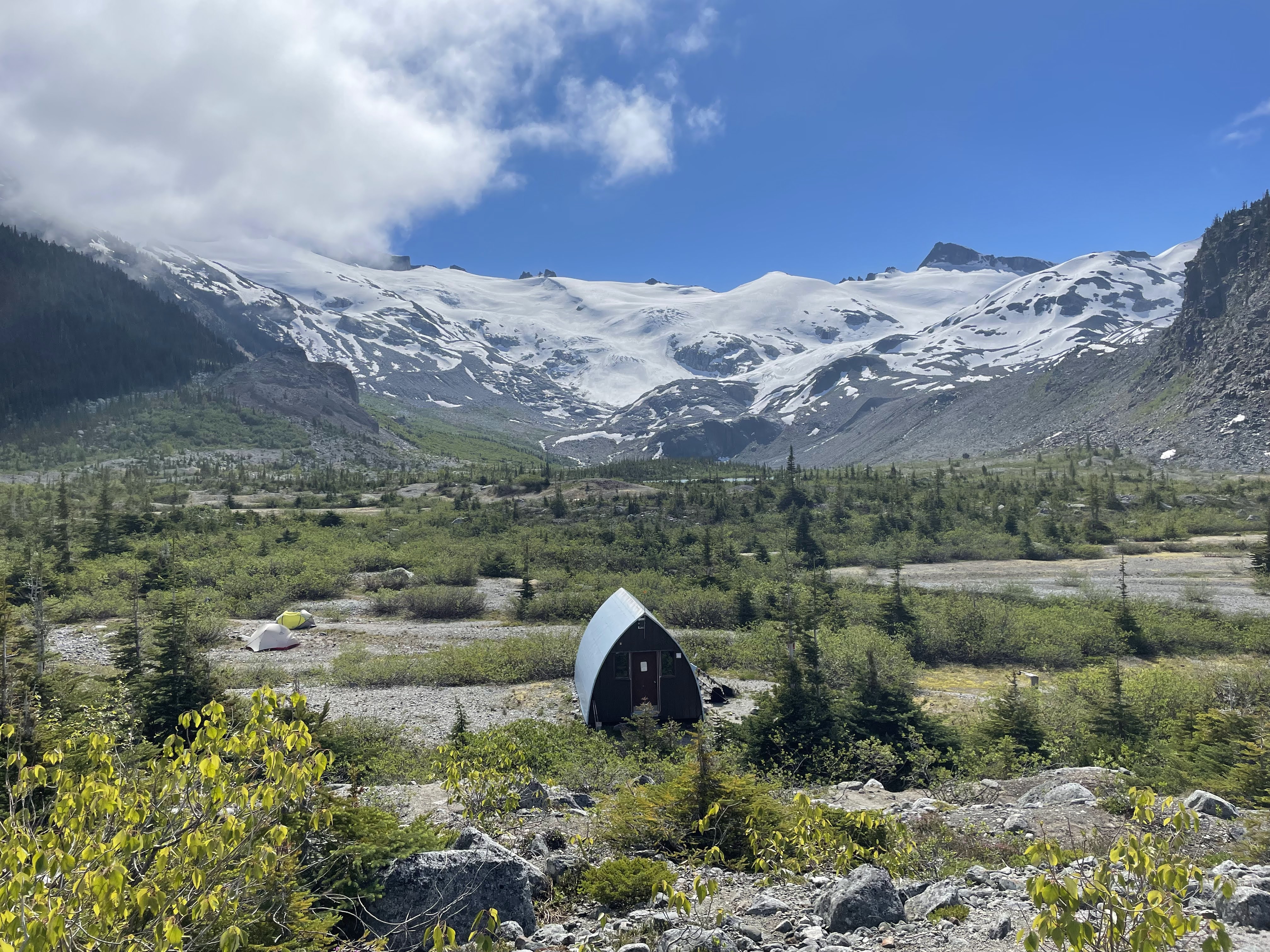
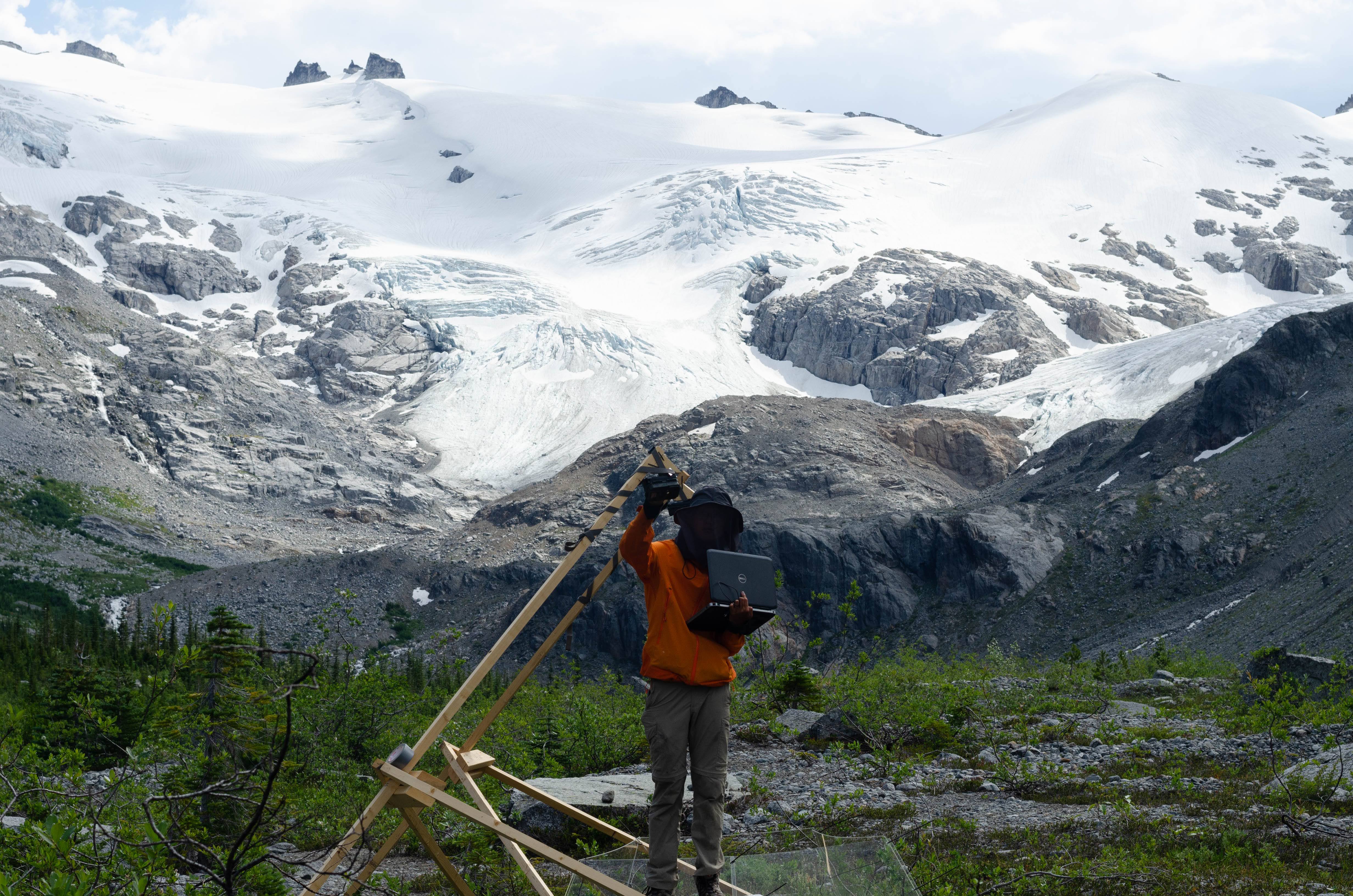
In July, after choosing field sites in Sphinx and Sentinel Bay with the help of some VOCers and undergraduate volunteers who explored the Sphinx Bay plant communities from the lakeshore to the glaciers, we were ready to fly in the field supplies (with permission from BC Parks). The OTC panels alone weighted 400lbs and the 2m tall tripods for the cameras added even more weight. The weather was a problem though as it seems is always the case when trying to fly. A lot of InReach messages were sent with Blackcomb Helicopters and after two days of waiting (which included Courtney and Anya hiking down to reorganize the equipment and Allen, Tyler and I waiting up at Burton) the helicopter arrived.
Views from the Garbage Pile, waiting for the helicopter (Tyler)
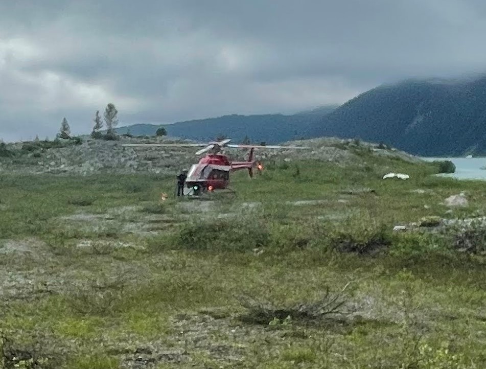

Helicopter arrival (Tyler)
The next few days were a blur of setting up the field site. We installed open top chambers that simulate climate change (warming by 1-3 C) around some plants and then set up cameras on both the warmed and matching control plants to see how the warming affected the plants and soil.
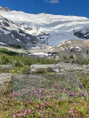
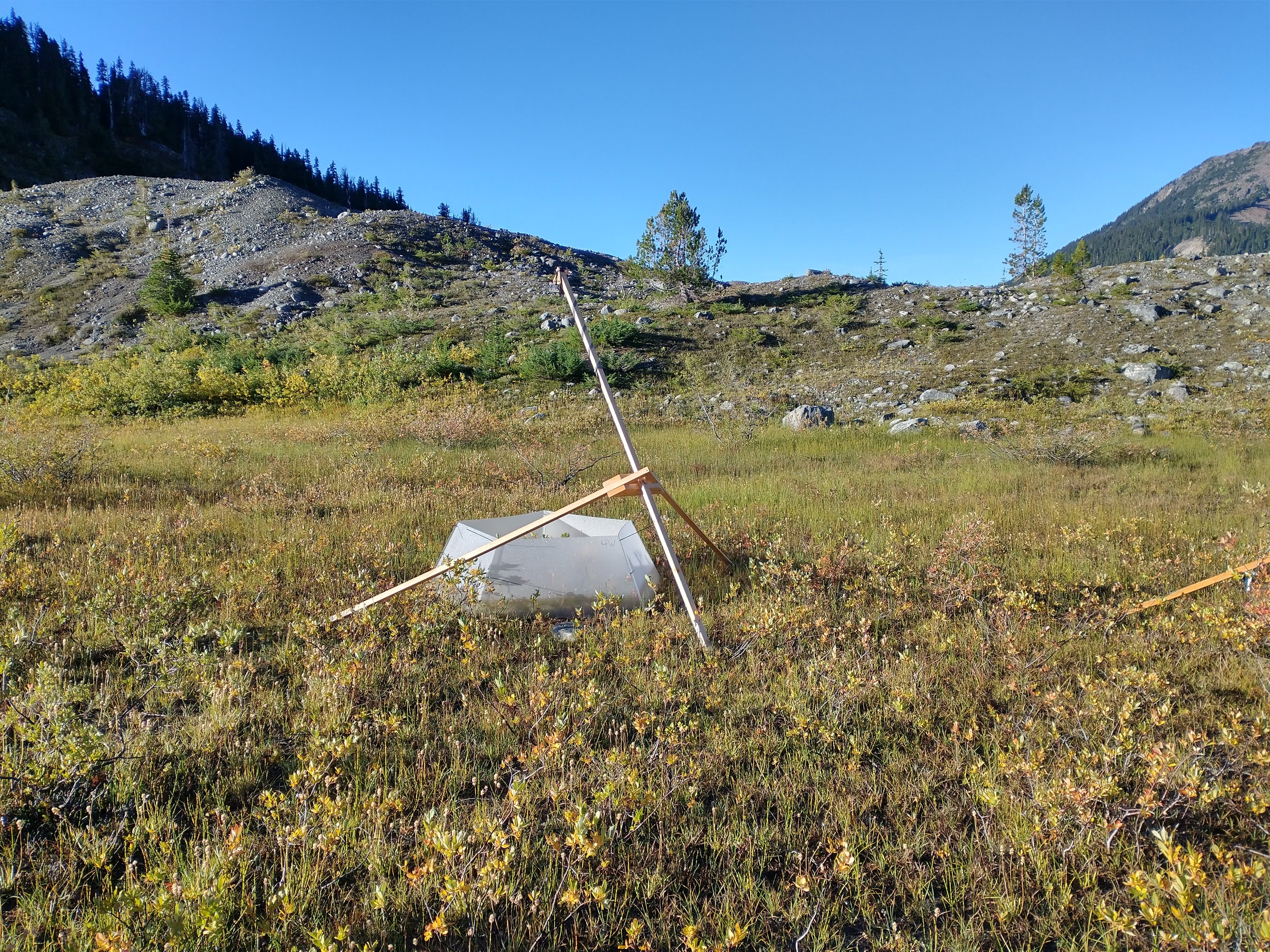
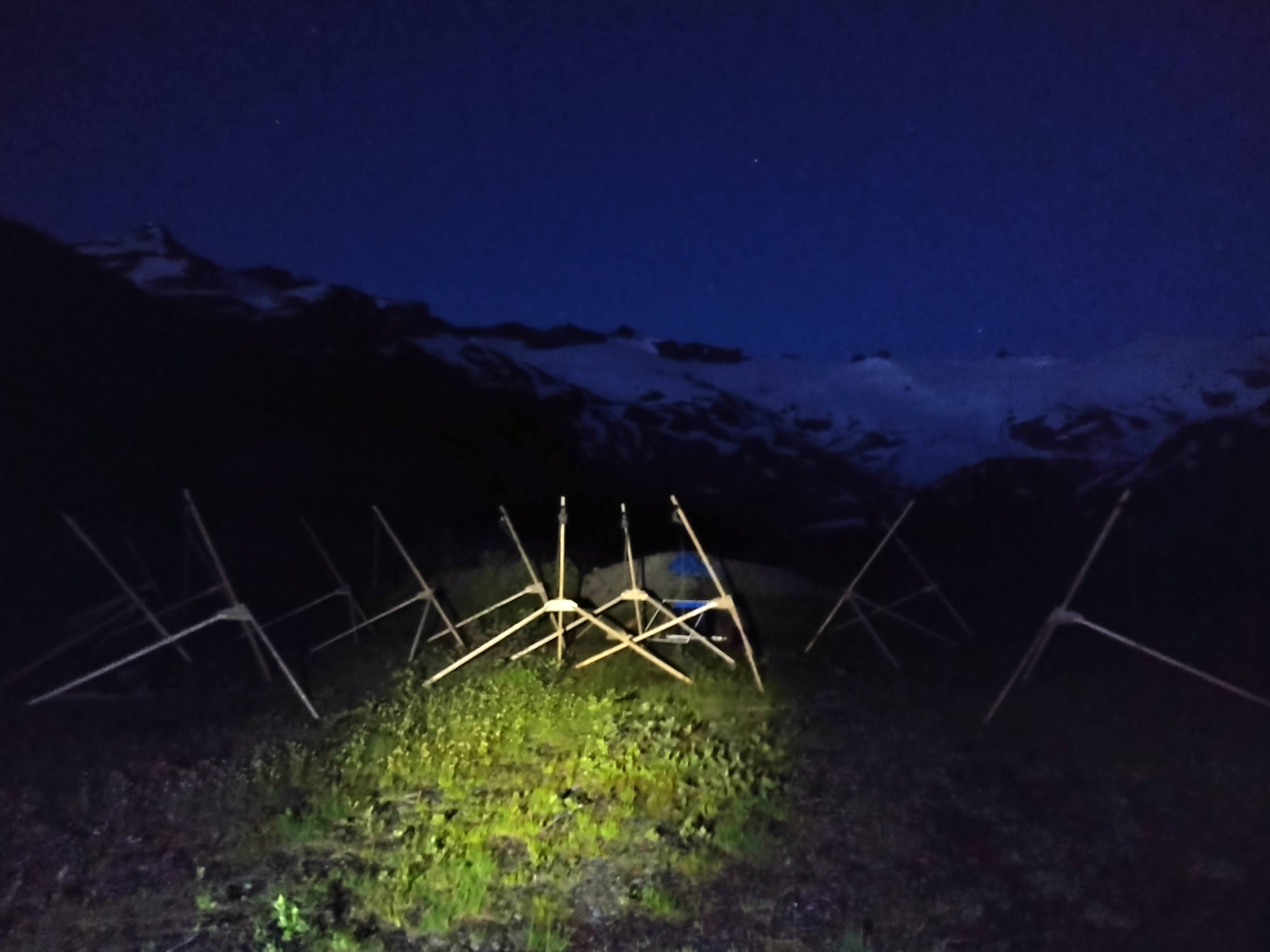
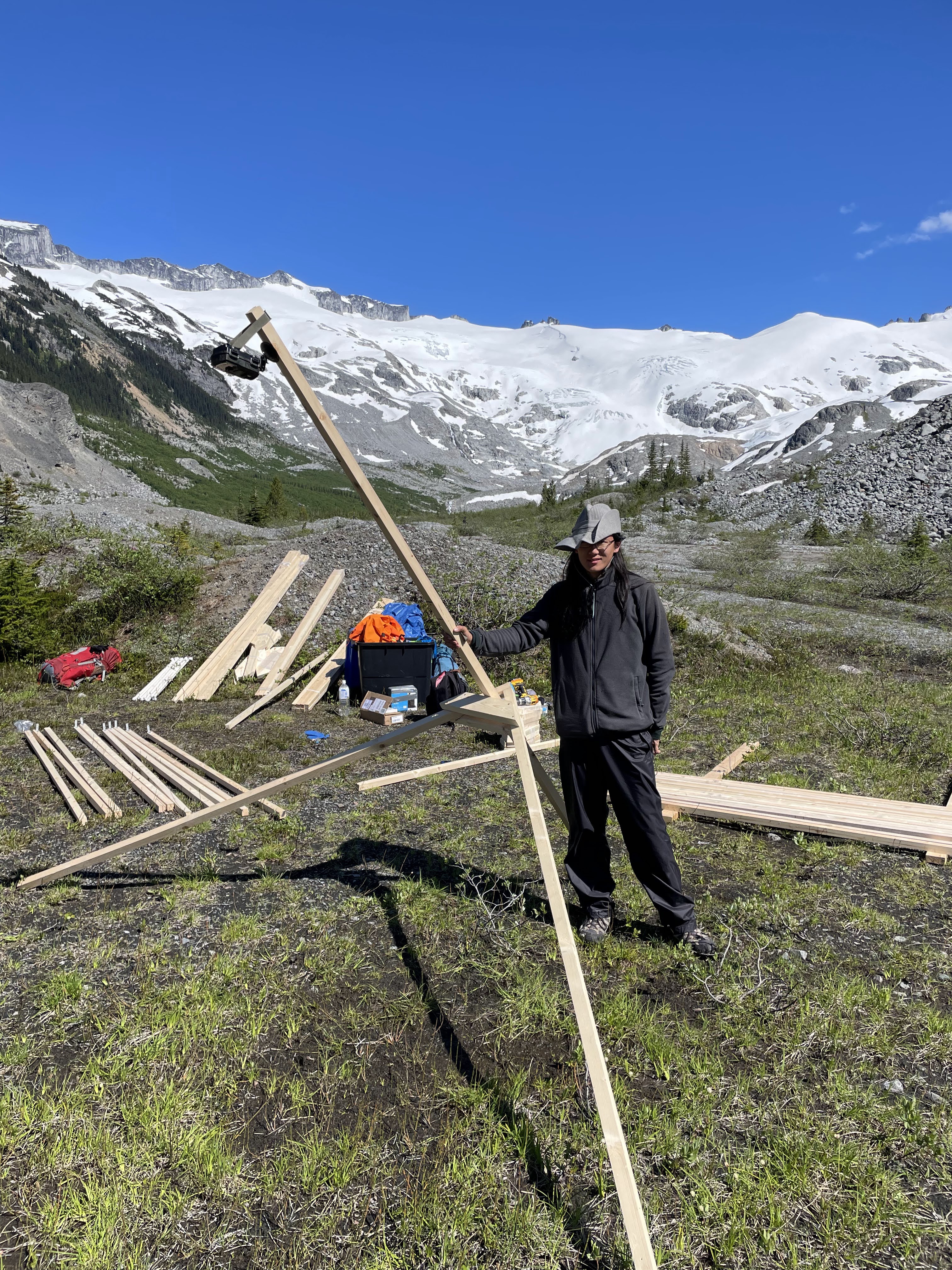
Top: Open top chamber (OTC) experimentally warming the subalpine plants. Bottom: Setting up the 2m tall tripods at night with the glaciers in the background felt somewhat surreal.
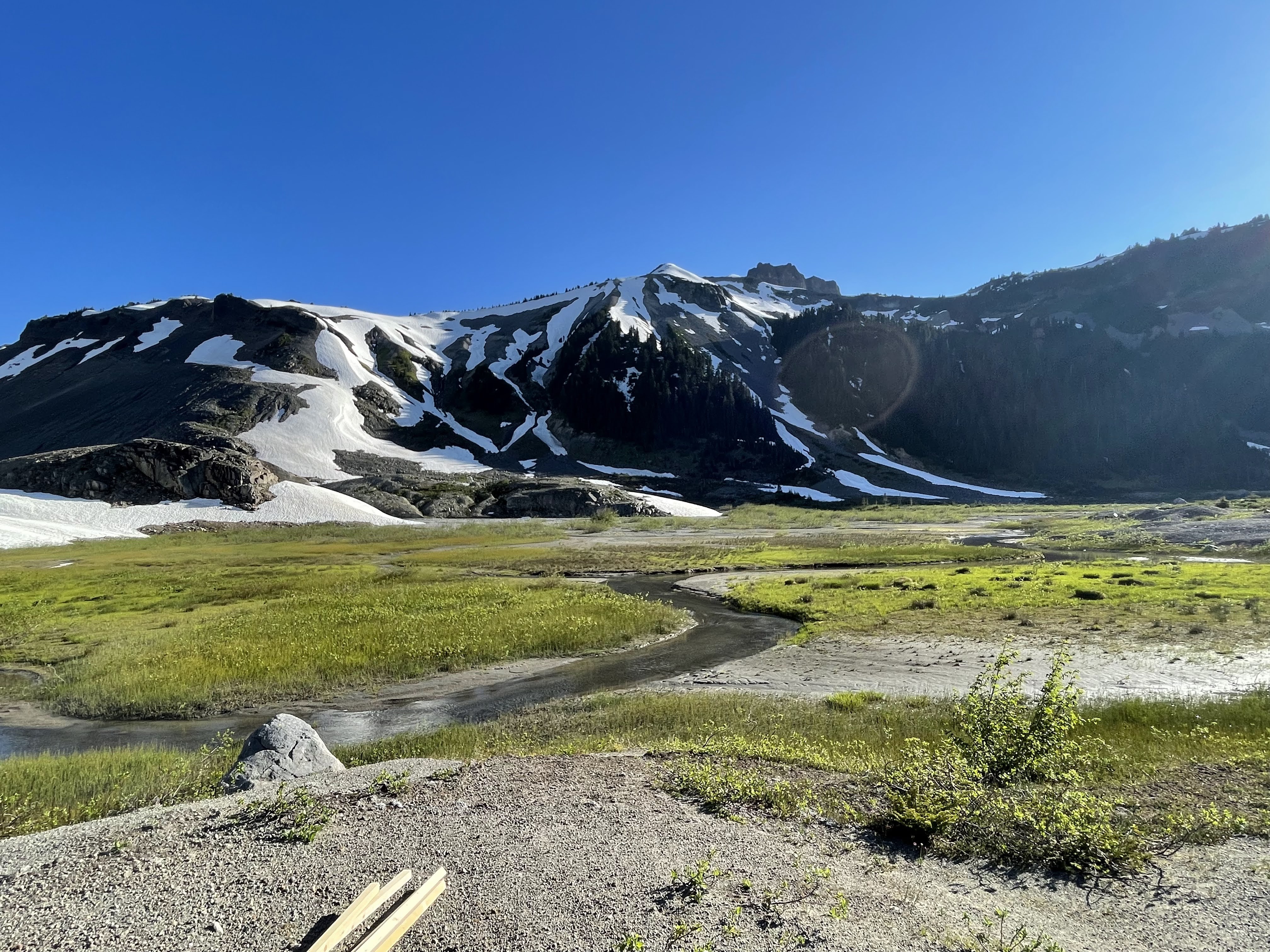
In August, we returned to the field sites to make trait measurements on the plants and soil. The Garibaldi Lake trail was closed that week since the lake had flooded and the trail around the lake was under 1-3 feet of water. A few of us waded to the boathouse (also nearly underwater) and brought the canoes over to the rest of the crew. When we got to the field site we discovered some of our plots were underwater as well. The data collection went smoothly though and surprisingly all our cameras and weather stations worked.
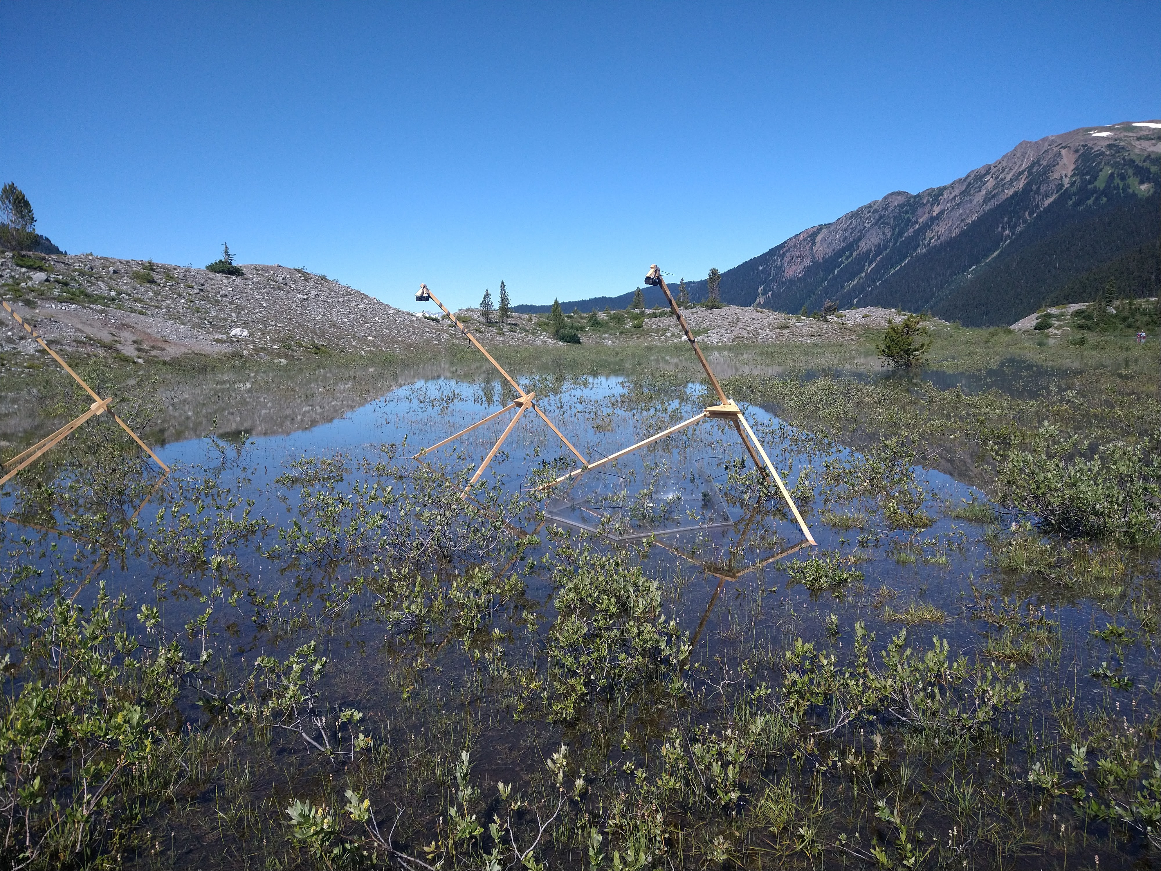
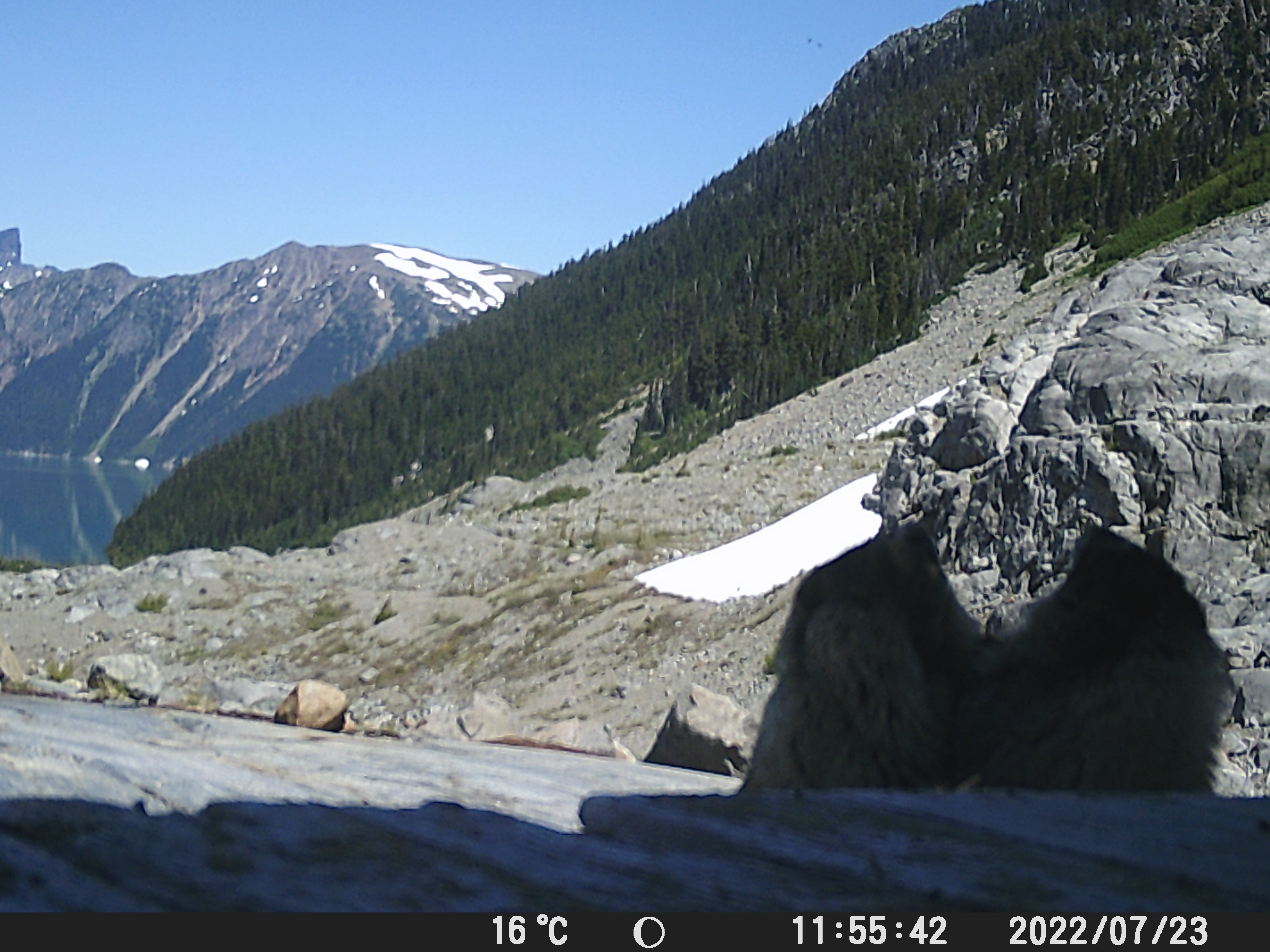
Left: Flooding of the plots. Right: Fighting marmots caught in the wildlife motion triggered camera we set up at the Sentinel Bay Glaciology Hut. Below: general photos from the field season (including Starlink – something I had never seen before).
We returned to the field site in late September/early October. On this trip the flood had retreated and we completed the work we had been unable to do in the flooded plots. We also downloaded all the data from the weather stations and cameras and took down the OTCs and tripods. For example here you can see the landscape scale photos from the Garbage Pile (it recorded the flooding, smoke and fall colours change): https://photos.app.goo.gl/9VTwgNkbdaEWnYqTA
Summer into autumn photos from the Garbage Pile.
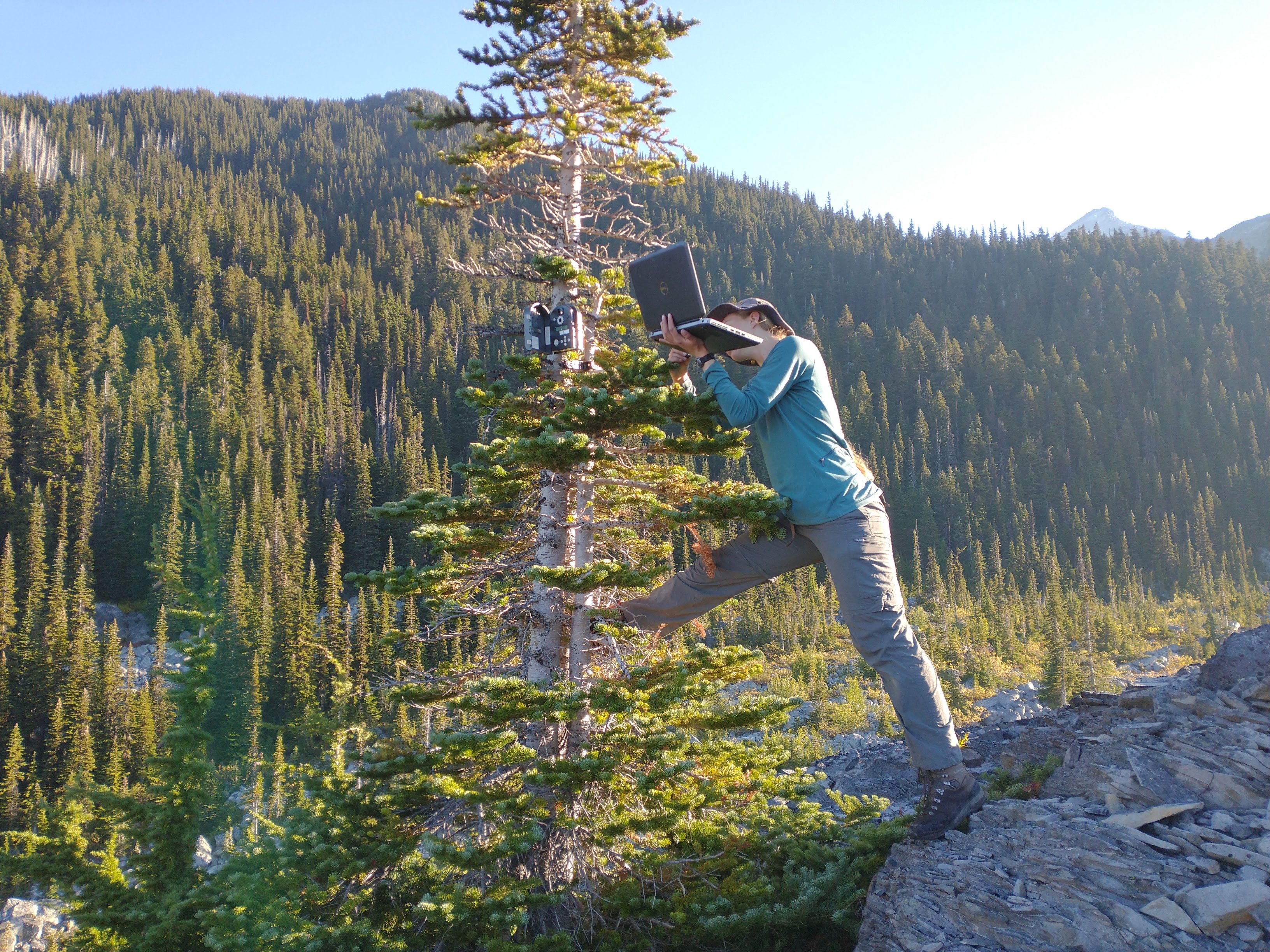
Downloading data in the field.
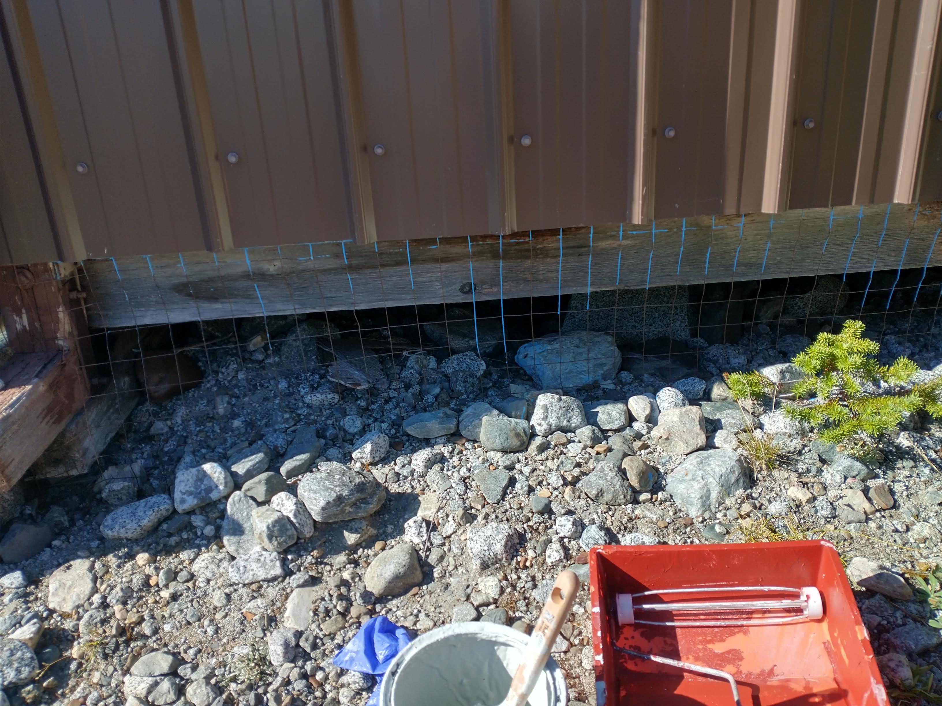
Working on the Burton Hut outhouse (Sept 2021/22)
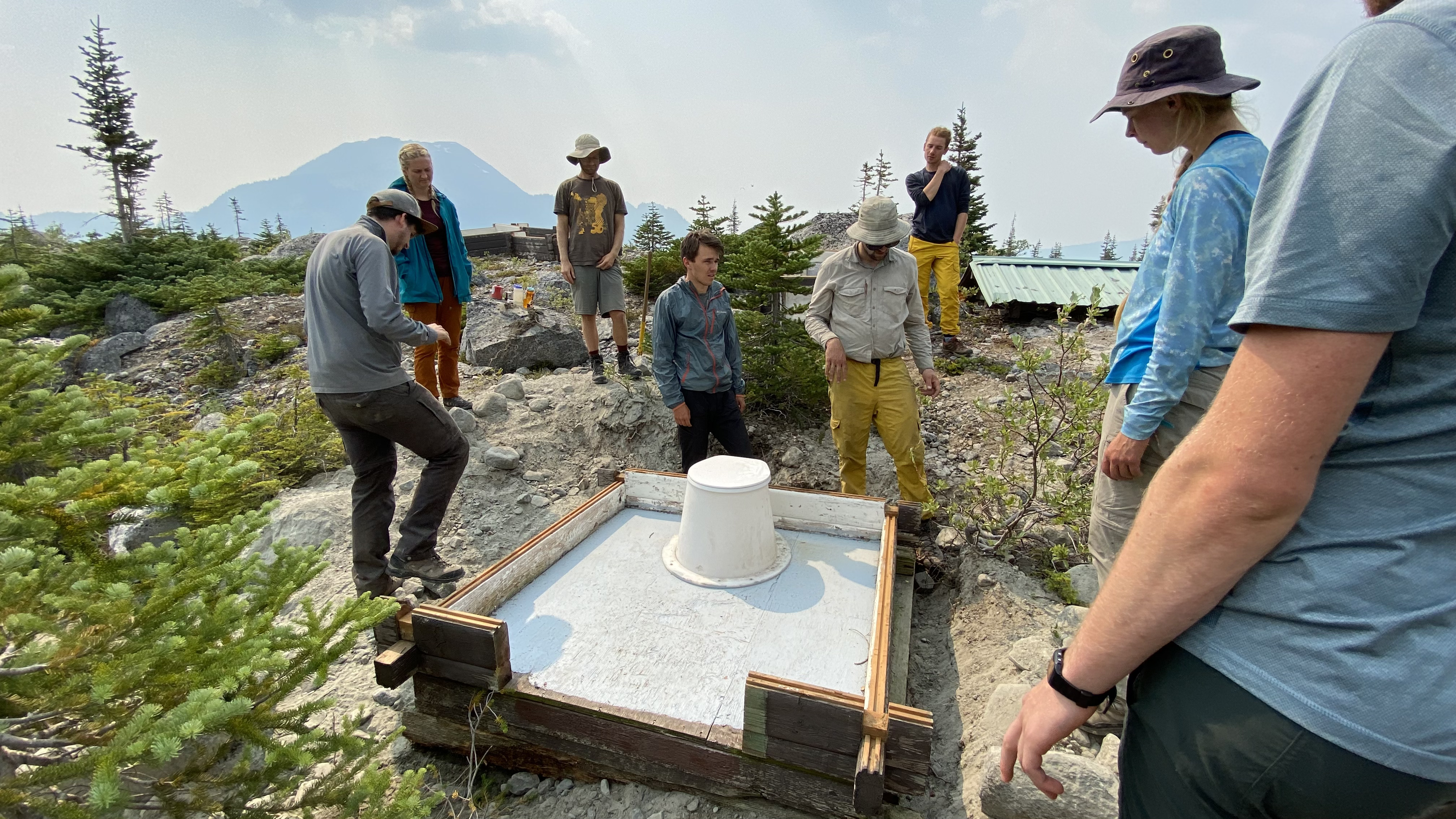
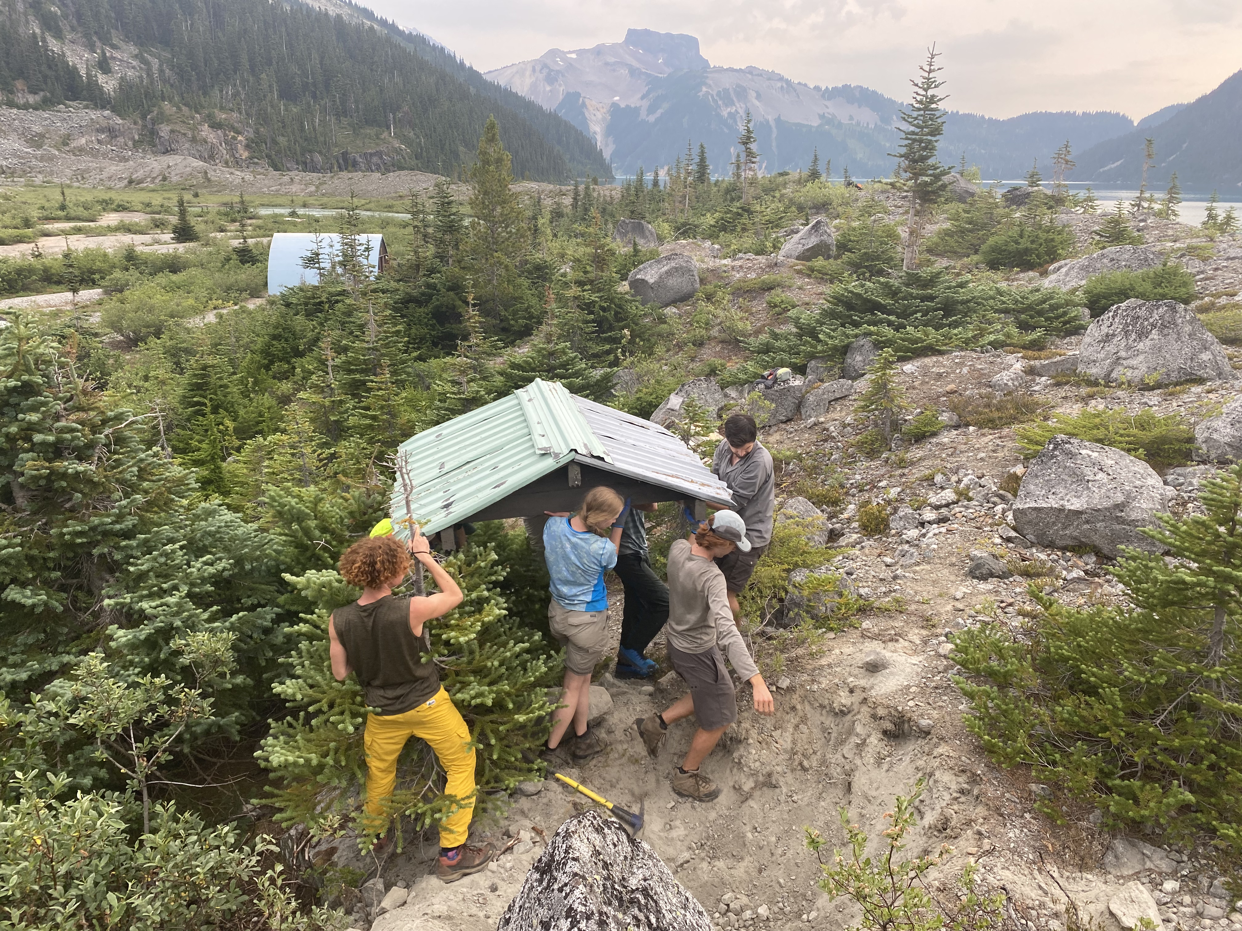
In September, I asked the VOC exec to buy some cheap paint for the outhouse since it badly needed a new coat of paint after we moved it last summer. Below: Photos of moving the outhouse in 2021. Note the wooden box Jeff Mottershead used to support the walls of the outhouse hole.
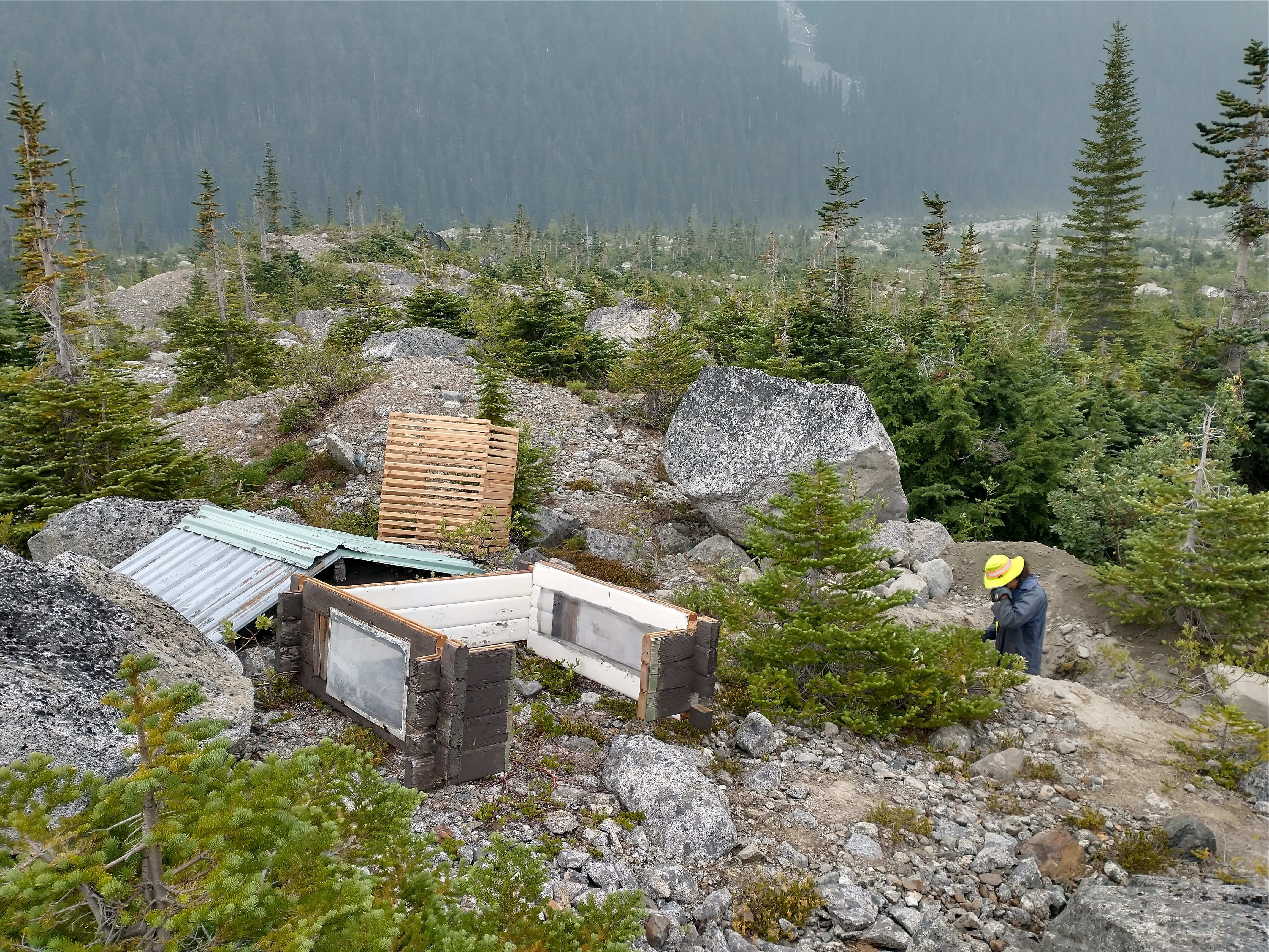

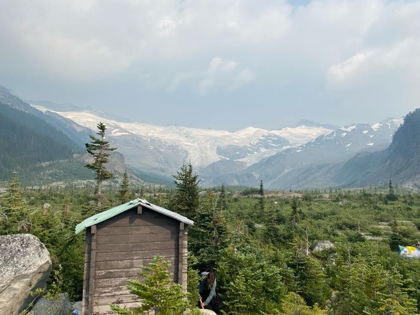
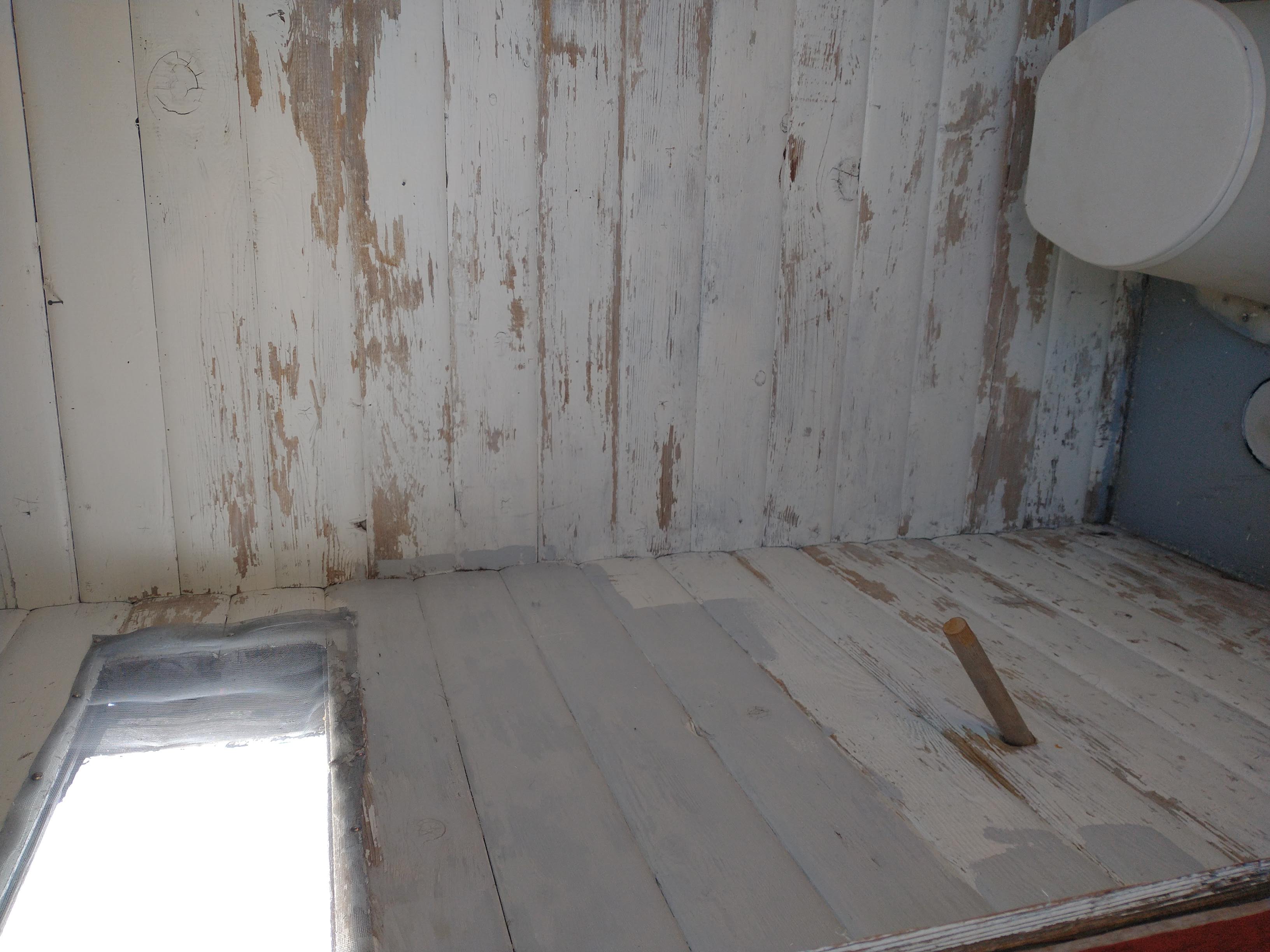
Tom and I carried 2 gallons of paint up to the hut during the fieldwork trips in late September and Tom (with the help of Nick and Charles) painted the outhouse. The inside was white and the outside a brownish red colour.
Summary
It was interesting to see Garibaldi Lake in all different seasons and with lots of different people (VOCers to botanists). Sphinx Bay has changed a lot with time. It also changes dramatically with the seasons and the types of people/goals you visit the area with (from ski mountaineering to science). Overall, Burton Hut is in good shape. The outhouse has a new hole and a fresh coat of paint. The VOC is working on a partnership agreement with BC Parks for storing the canoe permanently at the lake for use on workhikes.
Below: Glacial and vegetation change 1927 to present and panoramas of the area.