In England our wall map is folded up under my thesis and some paper Christmas stars Birgit’s mom gave us, but back in Canada it papered the walls of our living room almost from floor to ceiling, showing all the mountains between Deeks Lake and Mt Currie. We marked all the routes we’ve walked, skied, or biked in purple pen (Vincent) or turquoise pen (Birgit), which was risky but also quite fun. Risky, because it drew our attention to blank spots, which are sometimes blank for very good reasons.
In this case the blank spot was the Bastion Range, a low group of peaks at the extreme northeast of Garibaldi Park. No one we know had ever been, and Bivouac claims that the first recorded ascents were in the 2000s (not sure I believe it). It turns out there’s a 31 km logging road from the Pemberton Airport that goes to 1500 m, so we used up a couple days of our funemployed summer to check it out.
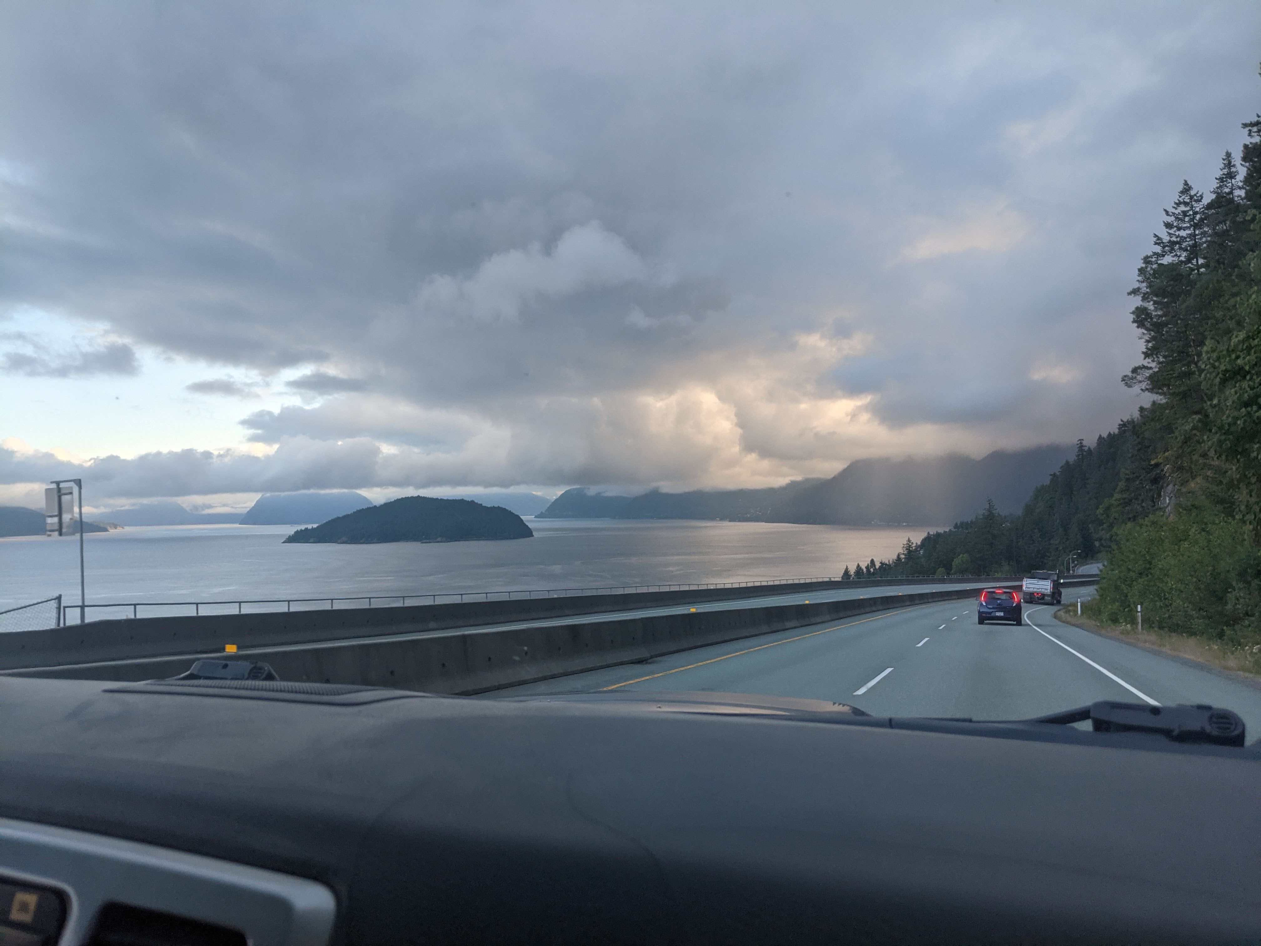
Cool lighting on the drive up
The trip started in North Van, where Adam Steele’s family loaded up the car with boxes for the Phelix Roof project. After an uneventful drive, we wandered around the Pemberton Airport looking for somewhere to leave them. One guy suggested we should just kinda like wait around for a couple hours until the heli pilots returned, but luckily a fast-talking authoritative manager person appeared and told us to drop the boxes under the eaves.
Right at the start of the long green tunnel that is Green River FSR, we passed a dog walker and a whirlwind of dogs that chased our car barking for several minutes. Hopefully they made it back. The road was mostly easy driving, aside from a short, straightforward, 4wdhc washout and a few loose sections as we climbed far above Lillooet Lake, looking across at our favourite stomping grounds near Lizzie Creek.
From the end of the road we marched into the bush and almost immediately stumbled across several boletes. An hour later, we crashed out of the bush with a tasty helmetful and ate lunch on the krummholzy ridgetop. We scrambled up over a cliffy bump with nice views that barely qualifies as a peak, descended to a shockingly blue lake in a deep cirque of red rock, and set up camp. We whiled away the afternoon thinking about swimming (but being slightly too cold), frying up the boletes (we forgot salt), and whistling a few bars of our favourite songs into the clear echo across the lake (it was super cool!).
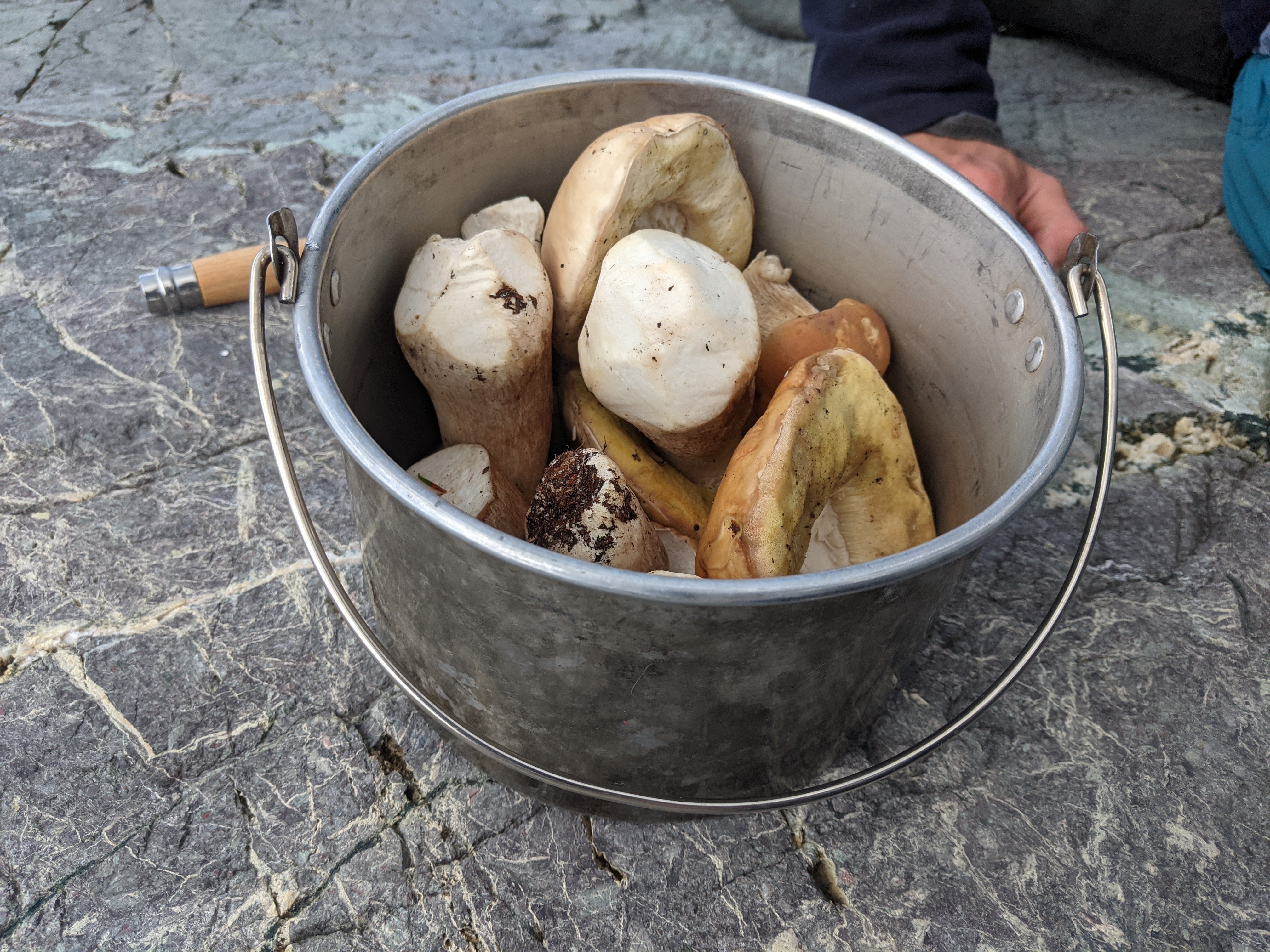
Boletes for the frying pan
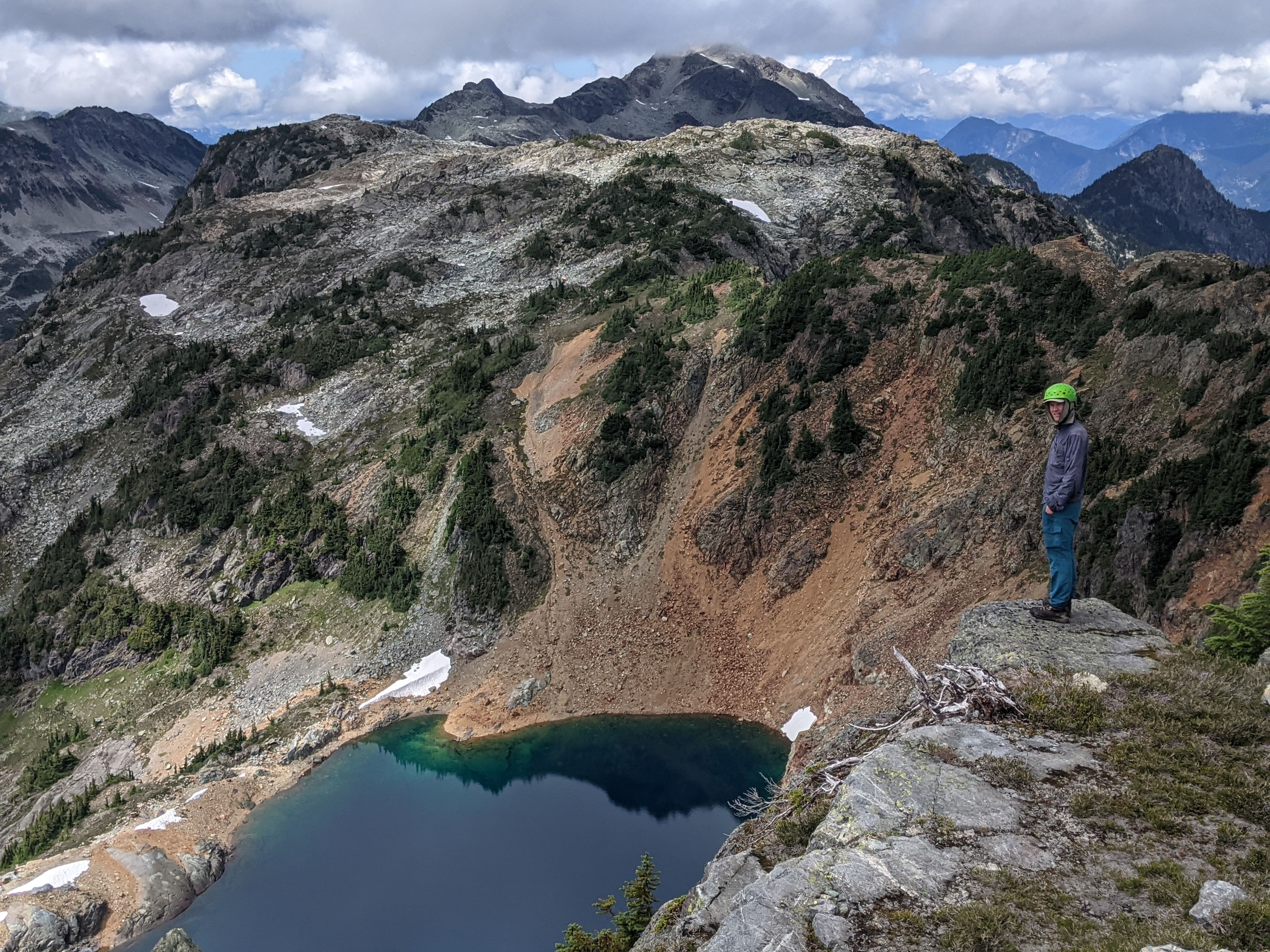
Whistling echoy blue lake that looks bluer in person
The next day we packed up, stashed some gear on the ridge top, and hoofed it for Bastion Peak (2213 m). Aside from a slightly exposed bit descending Rampart Peak, this can all be done quite easily: but for some reason we decided to stick exactly on the crest of the ridge and learned why the Halberd’s Edge is so named. Looking down, we saw an interesting glacier—long, skinny, flat, and at a very low elevation, I think it might be primarily fed by avalanches. The views towards In-SHUCK-ch (or Gunsight), Mount Neal, and the McBride were spectacular. The heli-skiing garbage, unfortunately, was somewhat less spectacular. Even inside the park boundaries (just) we found plenty of abandoned painted wooden stakes and bits and bobs the clients dropped.
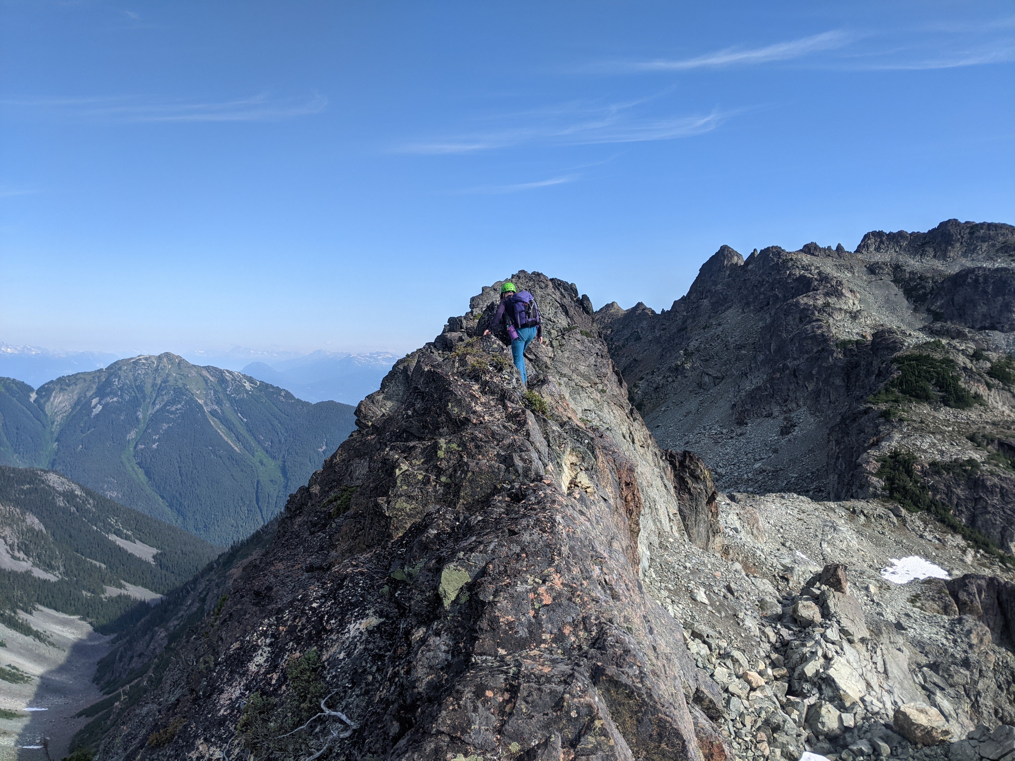
An exposed bit on the (very optional) Halberd’s Edge
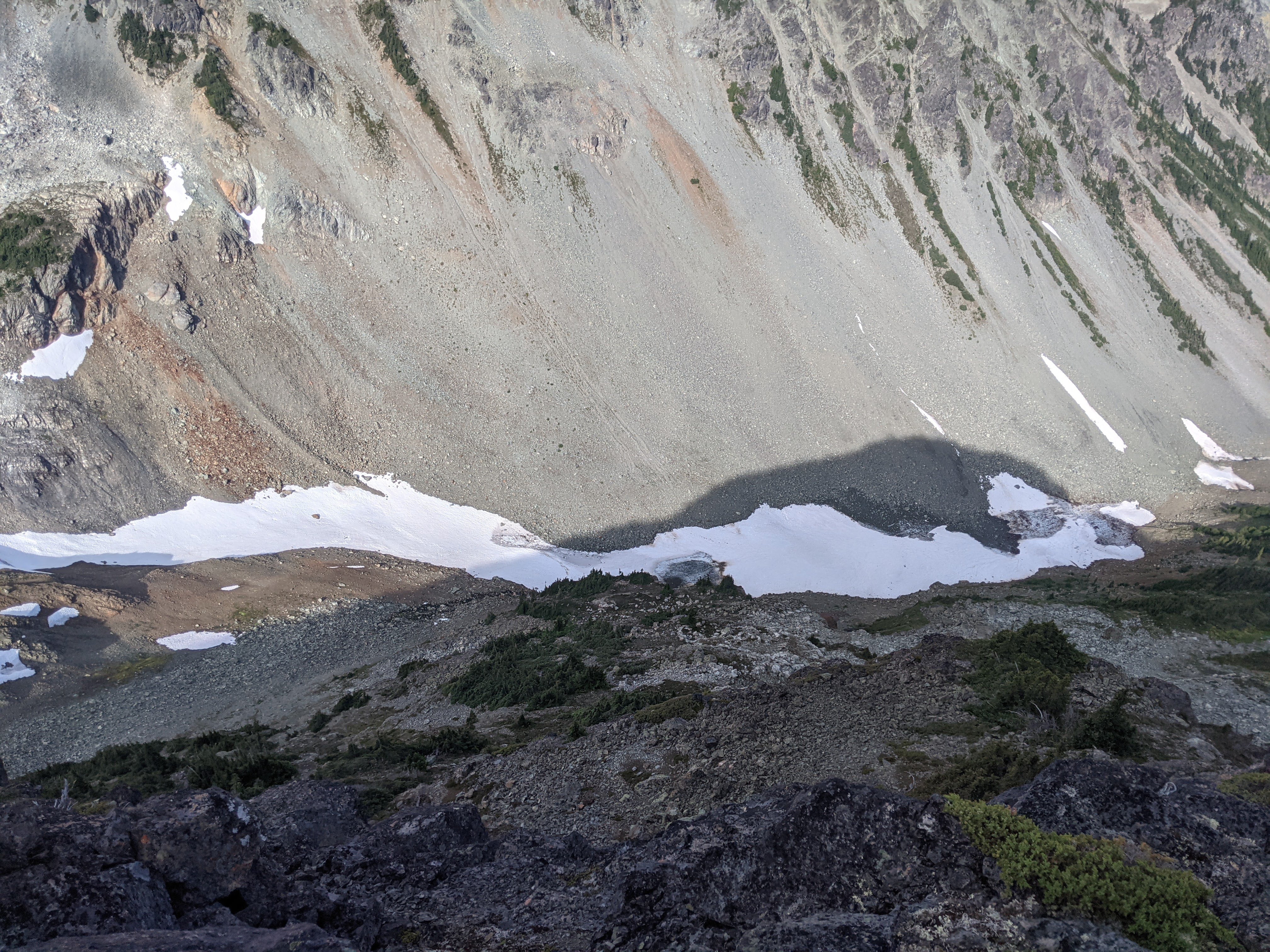
Remains of a funny glacier with a bit of bare ice visible.
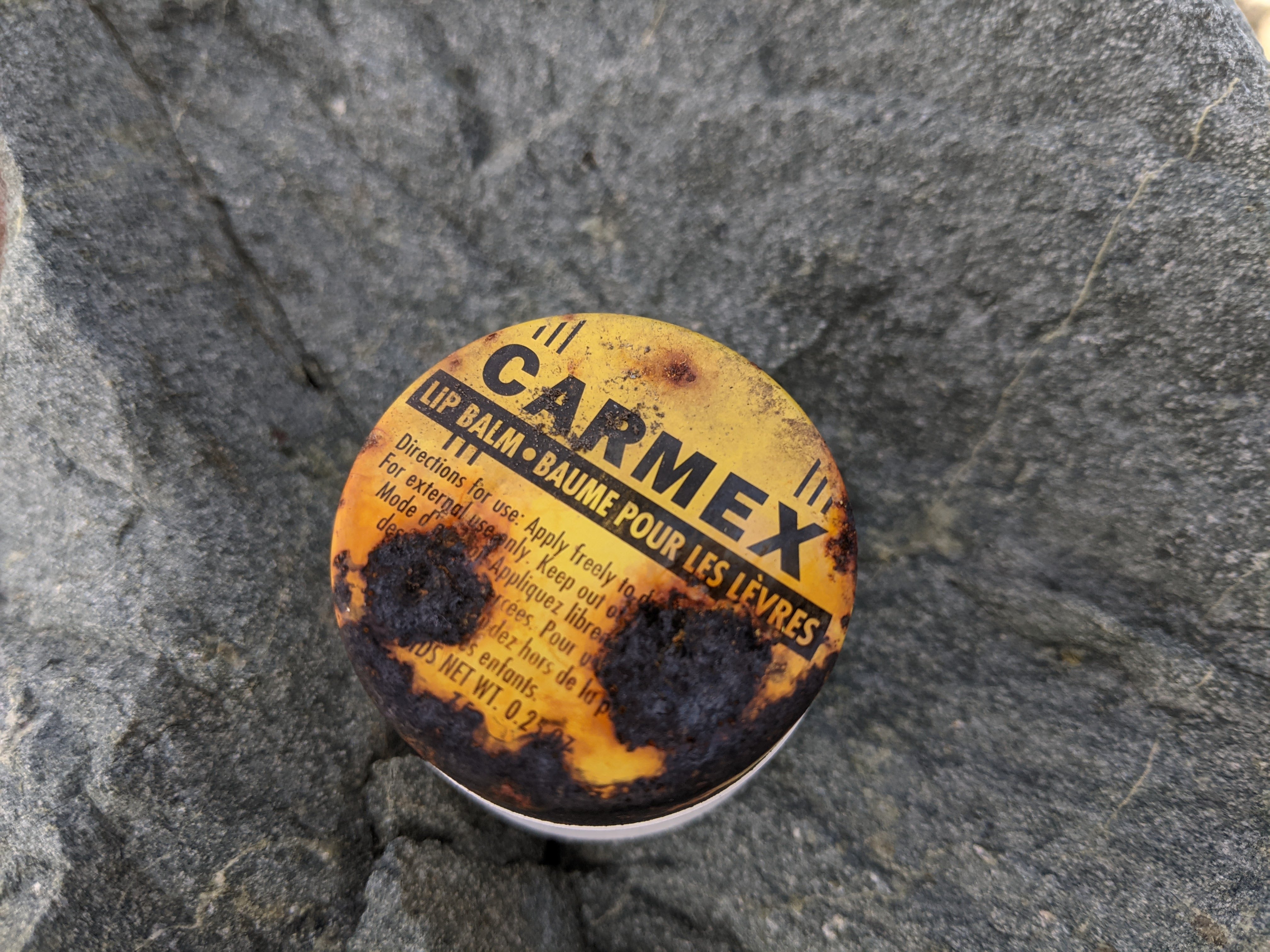
A gift from the past. We were tempted to use it
After lunch on the summit we retraced our steps, got slightly lost in a krummholz maze on a ridge somewhere, bashed back through the (quite reasonable) bush, and collected a whole bunch more boletes. Just before the car Birgit got stung by a wasp or two, as is tradition, and we had an uneventful drive home to face our moving-across-the-world woes. All in all I’d say this blank spot on our map wasn’t blank because it was horribly bushy or ugly—it’s just a lovely, gentle group of peaks that’s a bit out of the way.
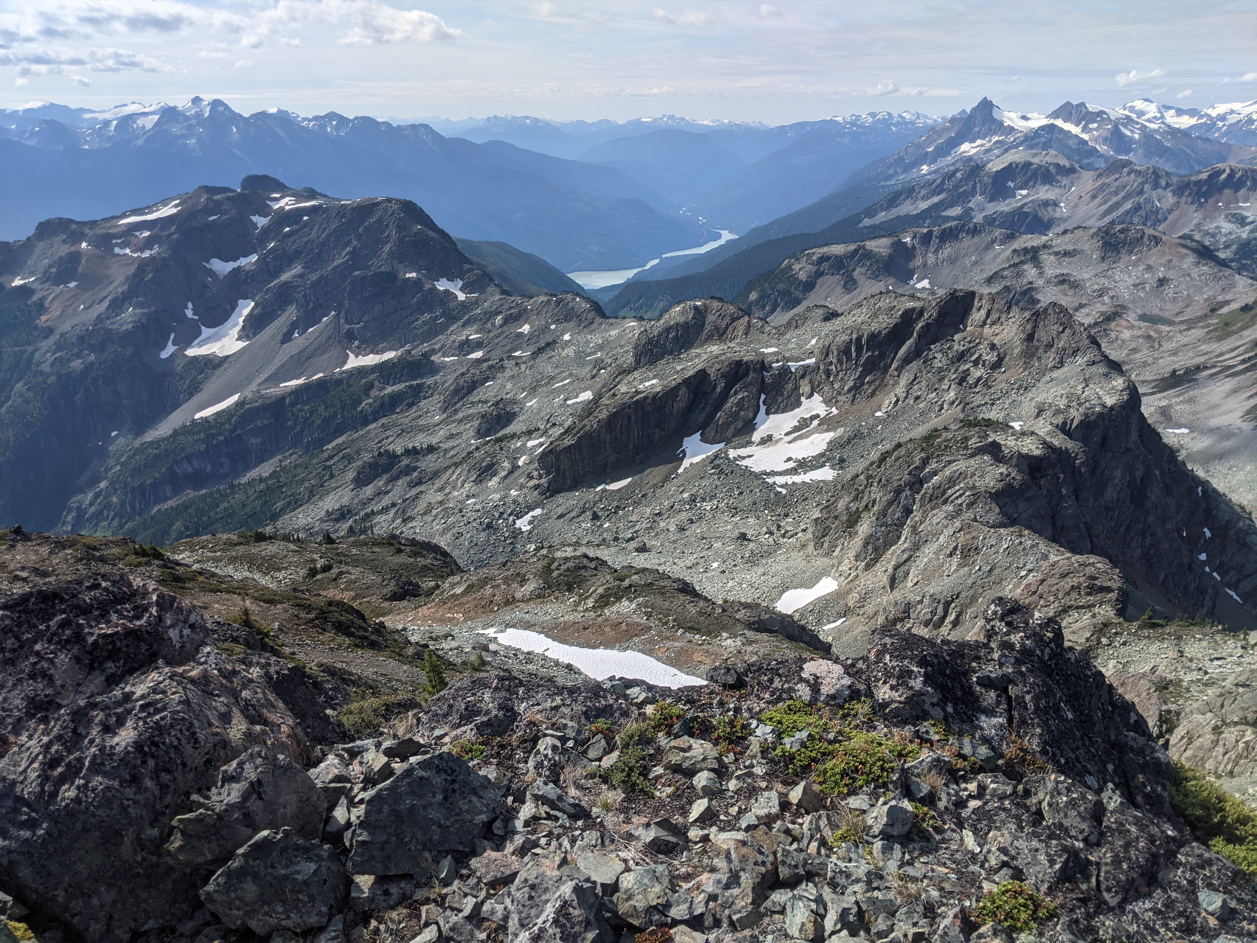
Nice views from Baston Peak along our route, of Lillooet Lake, and of In-SHUCK-sh (I think)
Details for routefinding:
Green River FSR starts a few minutes SE of downtown Pemberton and goes 31 km down the W side of Lillooet Lake. It ends in some new(ish) cutblocks at 1520 m in the Bastion Range, a group of small peaks at the NE corner of Garibaldi Park. The road is passable for 2wd low or medium clearance vehicles for about half of the route, and then there is a washout, some sections of loose road surface, and some overgrown sections that are easily passable in a 4wd high clearance vehicle (won’t last many years). From the end of the road (50.207, -122.532) it takes about 1 hr to bushwhack to the alpine through moderate bush on mostly mellow terrain, although there are some cliffs higher up that can be avoided on climbers left. From the ridge, it is easy to walk to Rampart Peak (class 1 or 2) and Moat Lake (from the N). Moat Peak has a class 3 route on the W side. Descending from Rampart Peak towards Bastion Peak is class 3 or 4. From the col to Bastion Peak, it is possible to contour along the E side of the ridge on class 2 terrain, with maybe a bit of class 3 before the summit. If you stick to the ridge crest, traversing the Halberd’s Edge is an exposed class 4 adventure. Hiking from the end of the road to Bastion Peak is probably 10 hrs return. There is camping at Moat Lake, at some tarns just S of Rampart Peak, as well as several spots just E of the ride connecting Rampart and Bastion Peaks.
Will have to add it to my map!