The avalanche danger was low, and my son Devlin didn’t want to do anything because we had taken a beating last weekend (TR coming soon), so I decided to take a shot at Coquihalla Mountain. It’s the highest summit in the area, but it’s a ways from the highway and there wasn’t a line to it on the Baldwin map, so it probably wasn’t unreasonable to expect an adventure.
My cunning plan was to park at the Zopkios brake check, follow the pipeline cut north to get around Markhor, drop into the Coquihalla River, cross it, head up Baldwin Creek and eventually gain the ridge to get into the Bedded Range, follow it to Coquihalla Mountain, drop into the canyon again, this time by Portia, climb up the bowl and then across Flatiron back to the Needle trail and to the car. That sounded like a lot so I packed four lunches.
The first 2.5 km along the pipeline cut and through the forest to get to the canyon took about 25 minutes. It felt like I had a decent chance of succeeding. I went to downhill mode and started the descent to the canyon bottom and quickly cliffed out. I put the skins back on and started to thrash upstream to where there looked to be a descendable line.
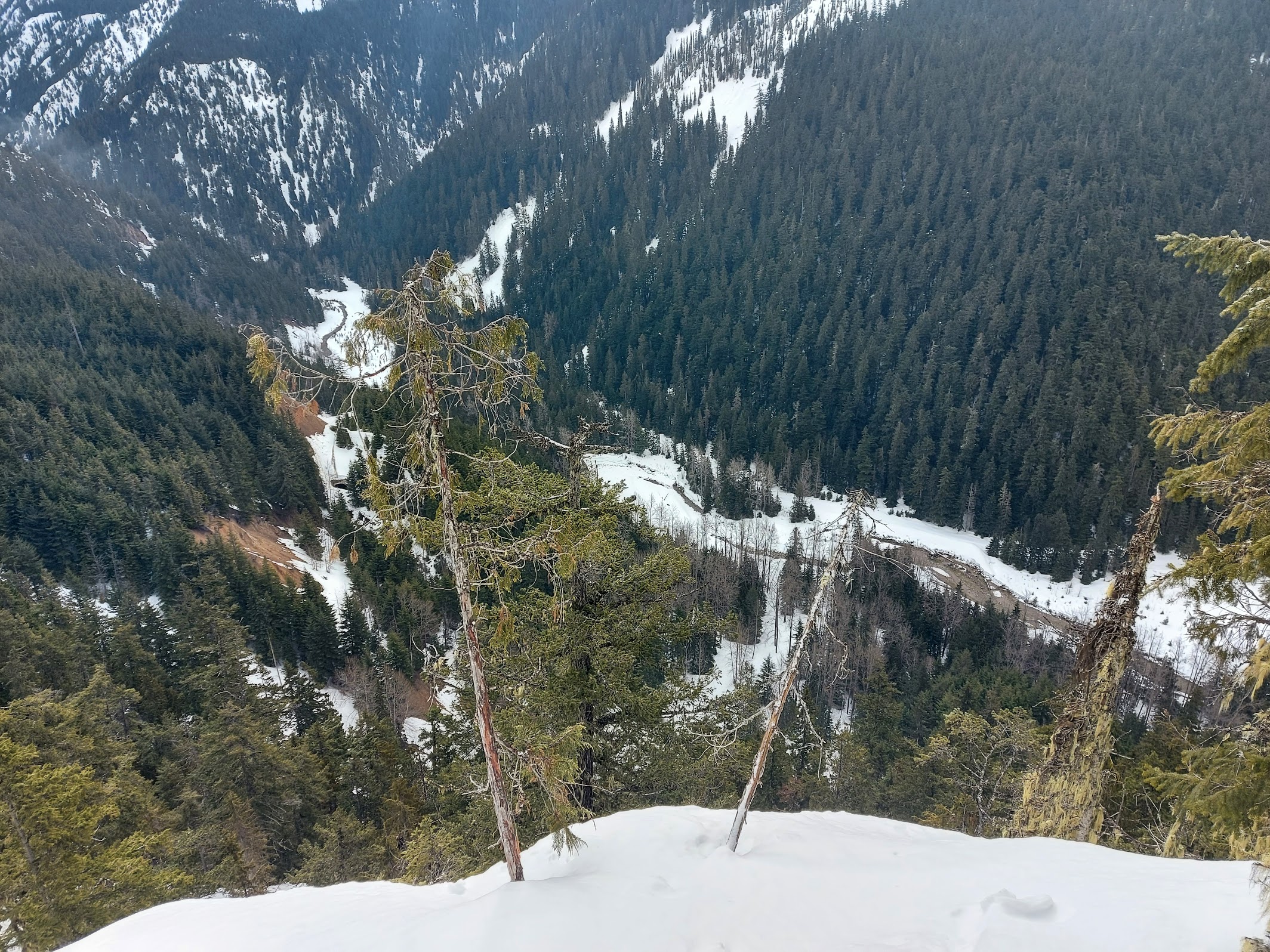
Cliffed out. Where’s Waldo fans can look for the opening to the rail tunnel.
There was this creek crossing that I think isn’t really done justice by the photos. Getting out of the creek required some vegetation-assisted desperate side-stepping.
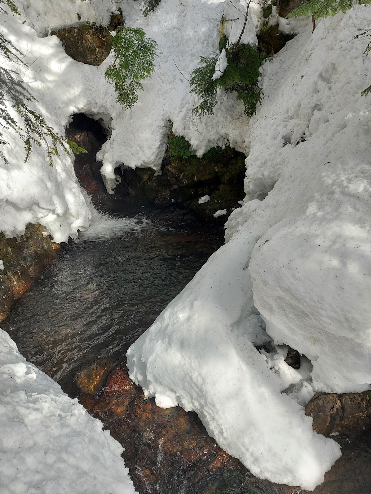
Bottom of the creek
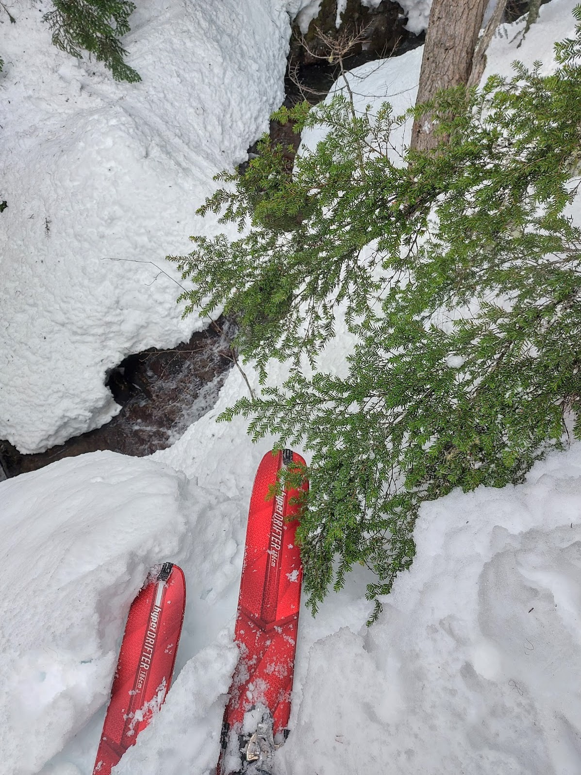
After thrashing up. It really doesn’t look like much until you note the scale of the skin tracks on the other side.
After squandering some more precious time in heavy bush I got to my potentially good line and started descending. It got pretty bony as it steepened up, so I took off the skis and started to downclimb.
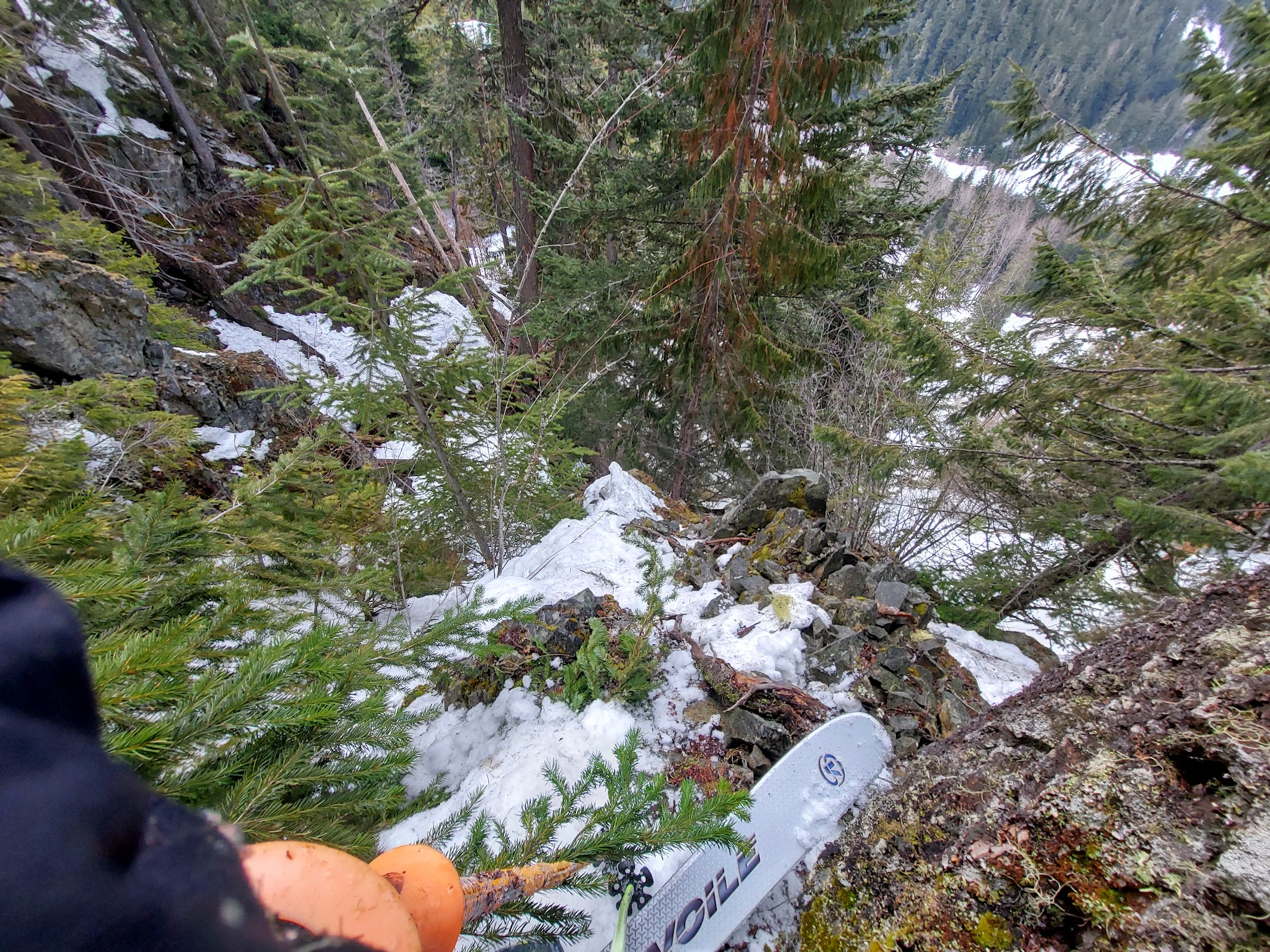
Time to put the skis in the pack.
A few feet to skier’s right of where that picture was taken, what I was standing on broke off and I started to fall. I managed to get my left arm around some stuff–I think vegetation and loose rocks–and it didn’t hold, but did smite my arm.
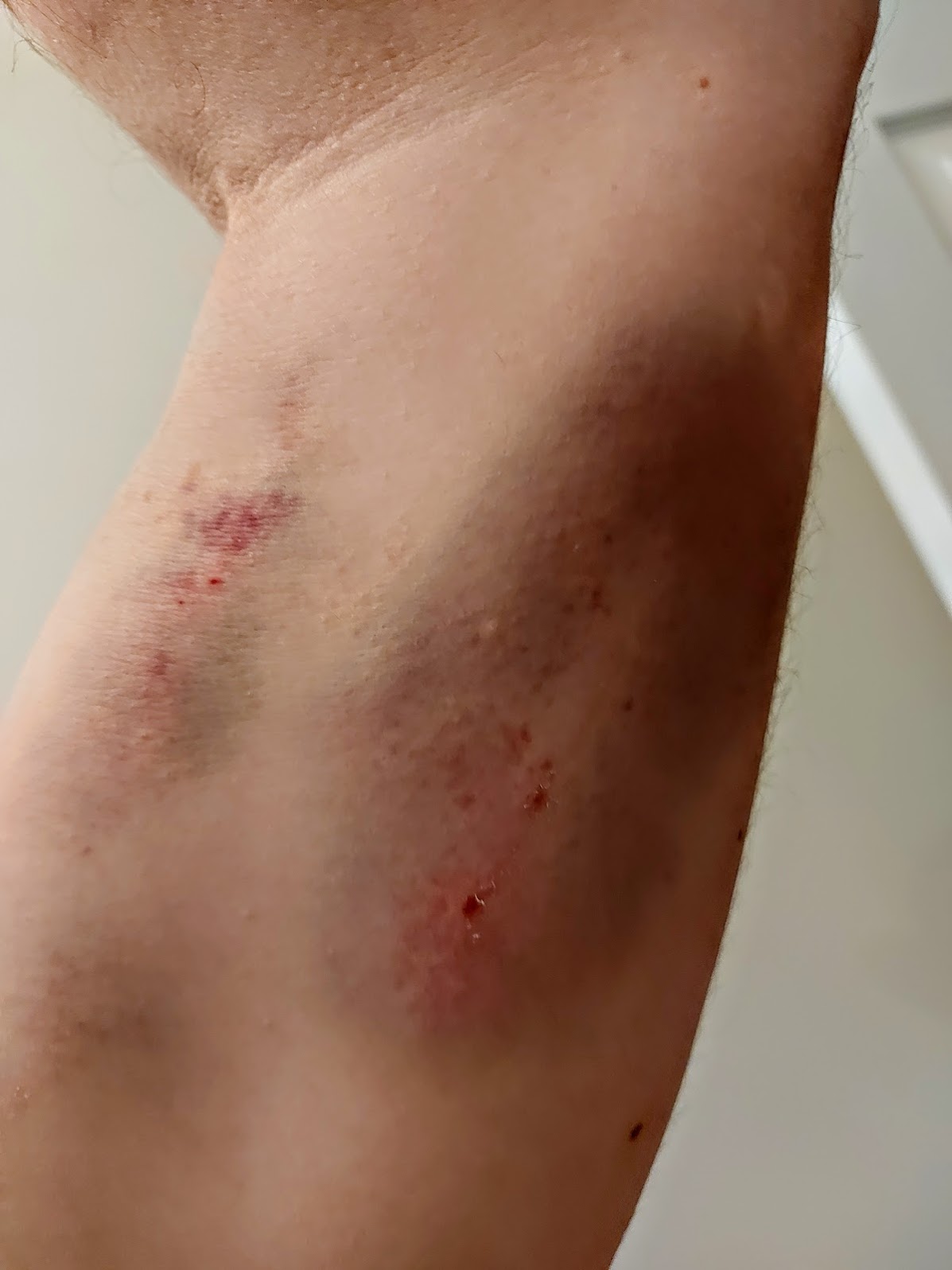
Arm
In the photo from the top of the descent, there’s a small patch of snow, down and to skier’s right. My feet planted in that, and because I was facing inwards for downclimbing, I started to tomahawk backwards. After that snow patch, it steepens up and I managed to stop.
I can’t stress enough how fluky that was. If I tried to do that a thousand times I’d probably have zero successes. The other thing that was kind of dumb about it was that it was a total waste, in that I’d already fallen most of the way and if I had just ricocheted off the wall like one would expect, I would have stopped in the big snow patch no more busted up than I already was.
I climbed the last bit down to the snow patch, and took a look at the waterfall my creek crossing turned into and some remains of the old railroad.
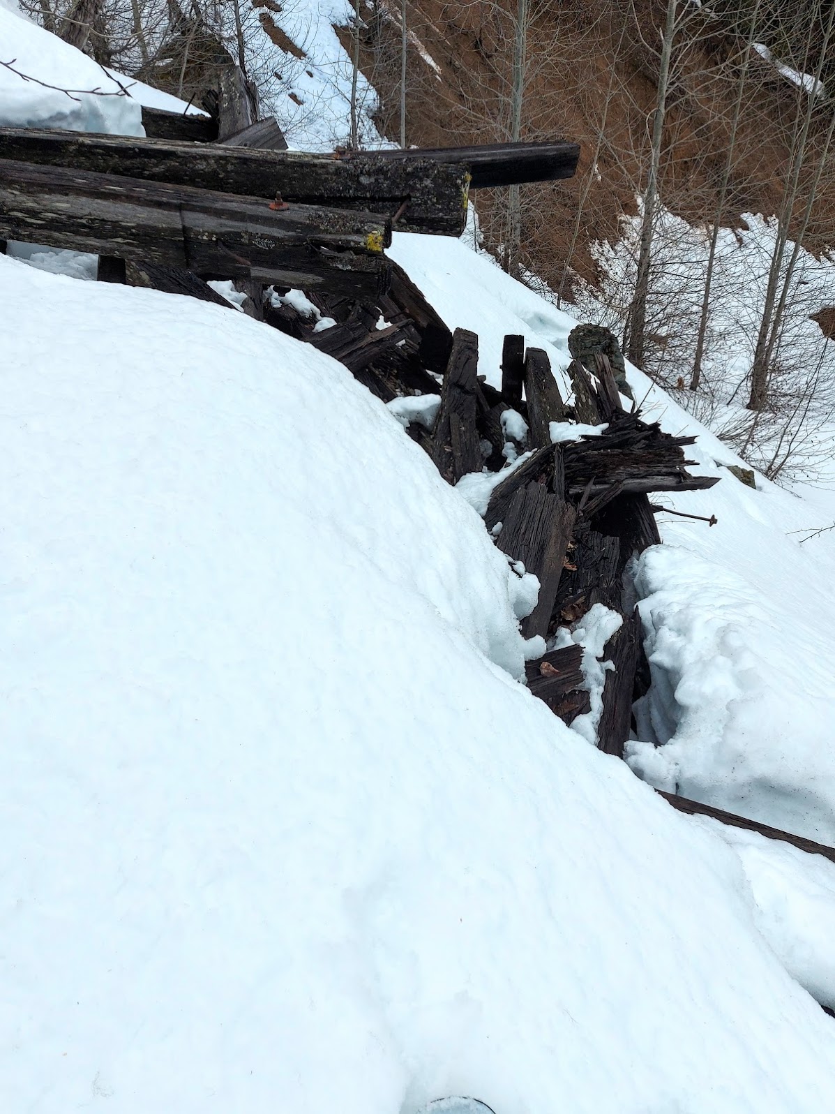
Kettle Creek Railroad
The whole experience was not particularly good for my pants. There were holes everywhere and one of the side zips looked like Brent Burns.
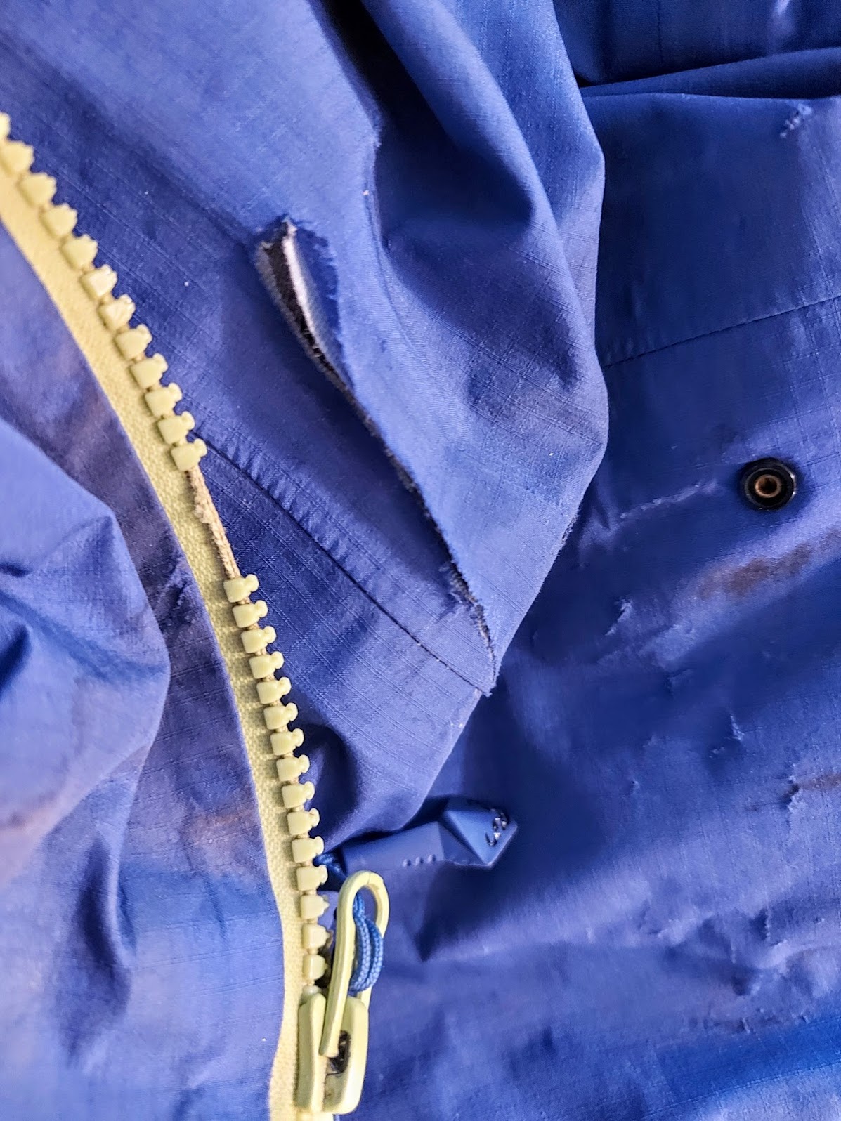
Pants
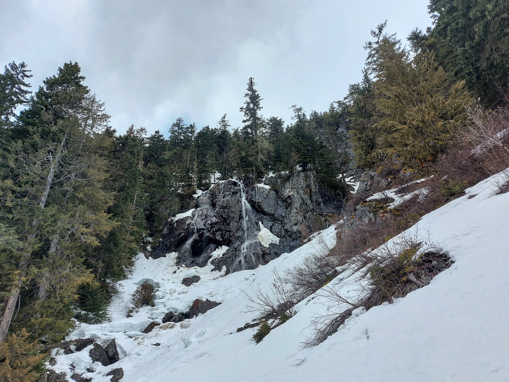
I think this is what happens to the creek I crossed.
I detected that the zipper wasn’t connected anymore and that the pants were going to be hand to wear, but didn’t immediately notice the missing teeth. I farted around for quite a while trying to get the pants connected to themselves from the end of the zipper, and didn’t really get anywhere. I felt fairly dumb when I found the missing teeth and was just able to slide things back into place without any additional fiddling.
All of a sudden it was 10:00 and I had my first lunch in the Coquihalla River bed. On the other side of the river there’s the Coquihalla Lakes Road. It’s not ploughed, but it’s still easy skinning. I followed it upstream to Baldwin Creek. I’d hoped that Baldwin Creek was going to be totally snow-filled and that I could just ski up it. That was very much not the case–lots of open water, and cliffs on either side made for very slow skiing. I ended up finding an avalanche path that had already slid. Unfortunately what was left under the slide was pretty crusty, so it took a lot of stomping to force a skin track up it. After what seemed like an eternity of stomping, I was about level with the highway and could get a good view of the side of the canyon. It’s pretty steep, and since it’s sun-baked and drops below 900 m, there’s lots of melted out loose junk.
Things went quickly for a while after that; the snow was soft and required some work to break trail, but I didn’t have to stomp through crust or balance delicately anymore, so I could concentrate on sweating off the pounds. I had my second lunch.
About 4.5 km away from Coquihalla Mountain things started to get bad again. The cloud ceiling was lowering, and it hadn’t been high enough to let me see the peak all day. It was windy as hell, and judging by the condition of the trees–all the upwind branches were broken off and they were leaning uphill–as well as the crust and bare rock, it seemed like this place was windy all the time. More stomping to get through crust and circuitous paths to get around exposed rock took a bunch of time. I got 2 km closer to the summit and met the clouds. Everything was riming in a hurry, I couldn’t see, I was a long way from the car, it was 4:00 and I wasn’t familiar with the area, so it was time to turn around.
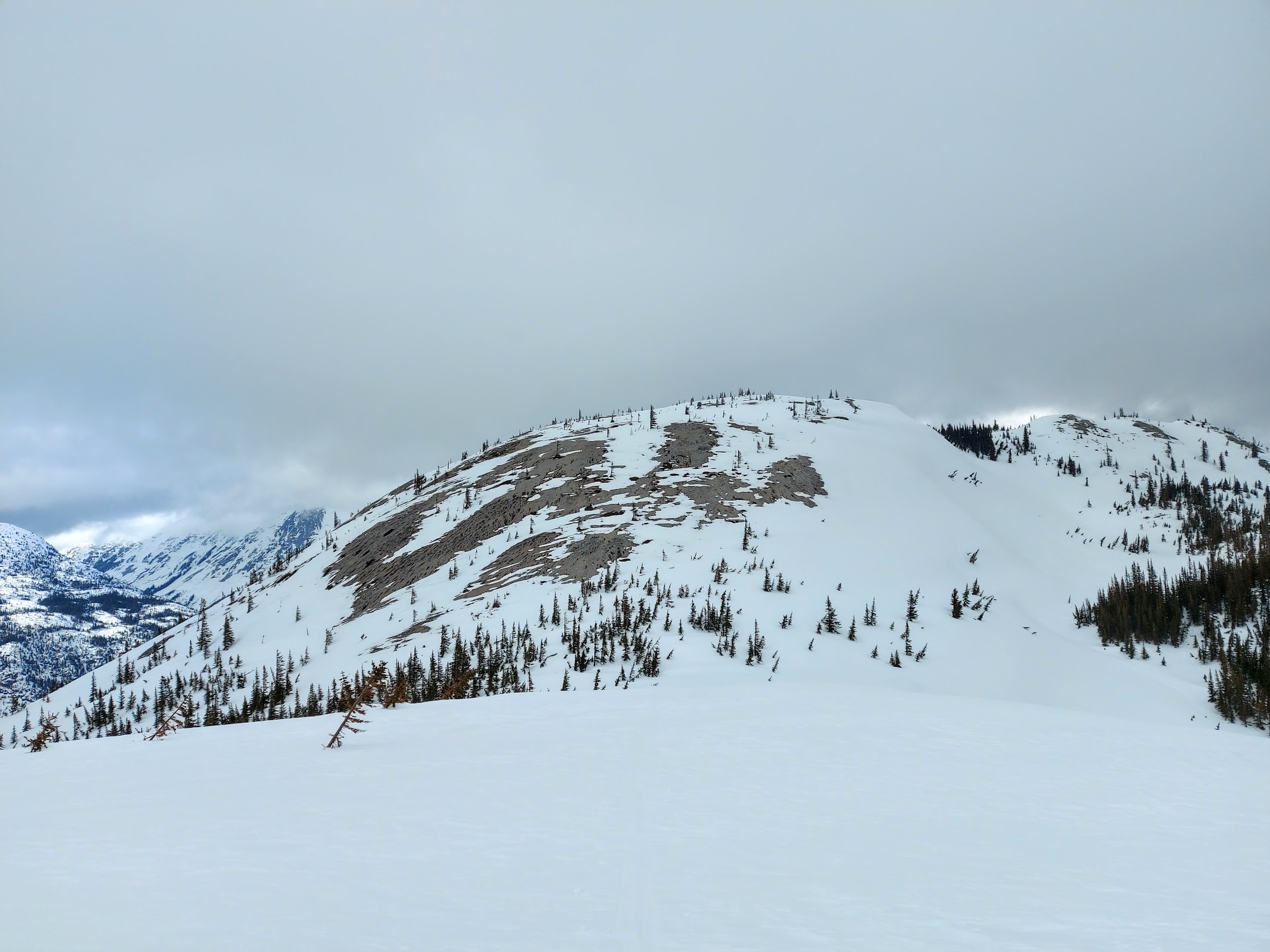
Normally the trees lean downhill.
When I got to the area where I’d come up from Baldwin Creek, I had the choice of following my tracks right back into the creek, or going straight into the Coquihalla River. The direct descent was appealing because it didn’t put me in Baldwin Creek, but it also hadn’t slid yet and there was a dodgy looking choke point on it, so I decided to ski-cut and bounce around to make it slide, and if I couldn’t that I’d just go to Baldwin Creek. After a protracted effort it did let go and cleaned out nicely.
Looking down from the choke point.
It was 7:00 when I got to the Coquihalla River and started my third lunch. There was a wide selection of bad options for getting out of the canyon. From left to right, there were bare cliffs on Markhor, the junk I’d come down, undercut and thus steeper than the angle of repose red dirt, some snow that looked okay but that led to a concrete retaining wall at the highway and then off in the distance Fallslake Creek. I decided that I liked more skiing better than more drama and went off towards Fallslake Creek. West of the highway, Fallslake Creek is almost flat, but I discovered that there’s a waterfall in it on the east side. Who knew? I decided that Fallslake Creek sucked and moved on to Dry Gulch.
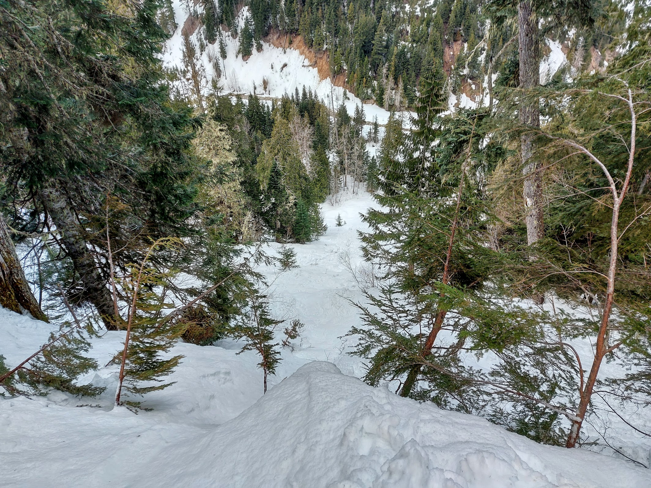
It was thoroughly dark when I got to Dry Gulch. I crossed the river, put the skis back on, discovered that I was on an island and crossed the river again. Getting out of Dry Gulch was really tedious as it alternated between really loose wet junk that hadn’t slid yet and old crust where it had.
Skinning up Dry Gulch
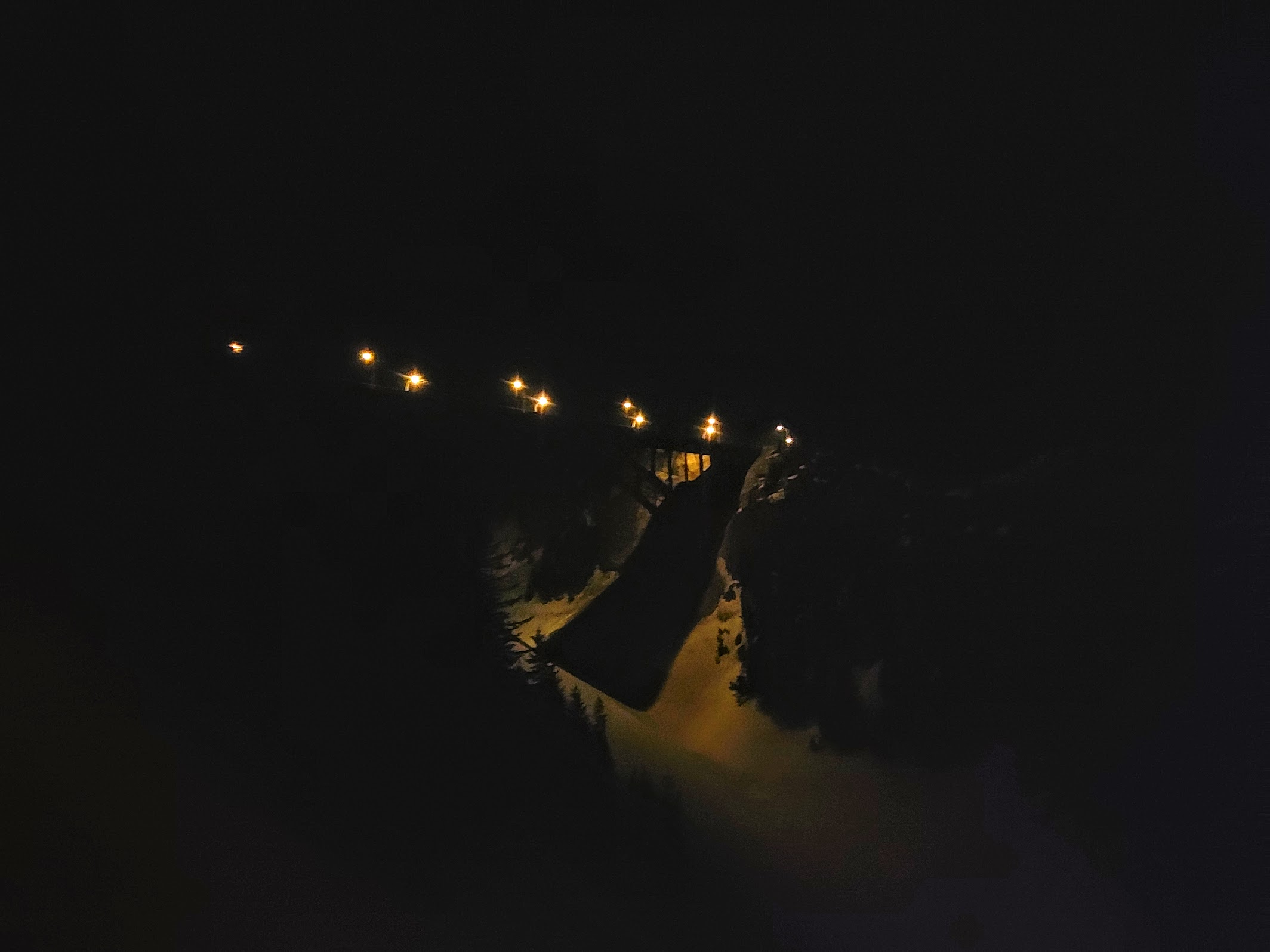
Once I got to the Fallslake exit, I went under the highway and took the trail to the pipeline cut. I had my fourth lunch at 11:00 and followed the pipeline cut back to the little unmarked parking lot where the pipeline goes under the highway. Crossing the median looked like a pain, so I started skinning through the forest without crossing the highway. Once I was a ways into it, I regretted my choice as there was lots of open water to wander around. I got back to the car just before 2:00 and had some Two Bite Brownies for supper.
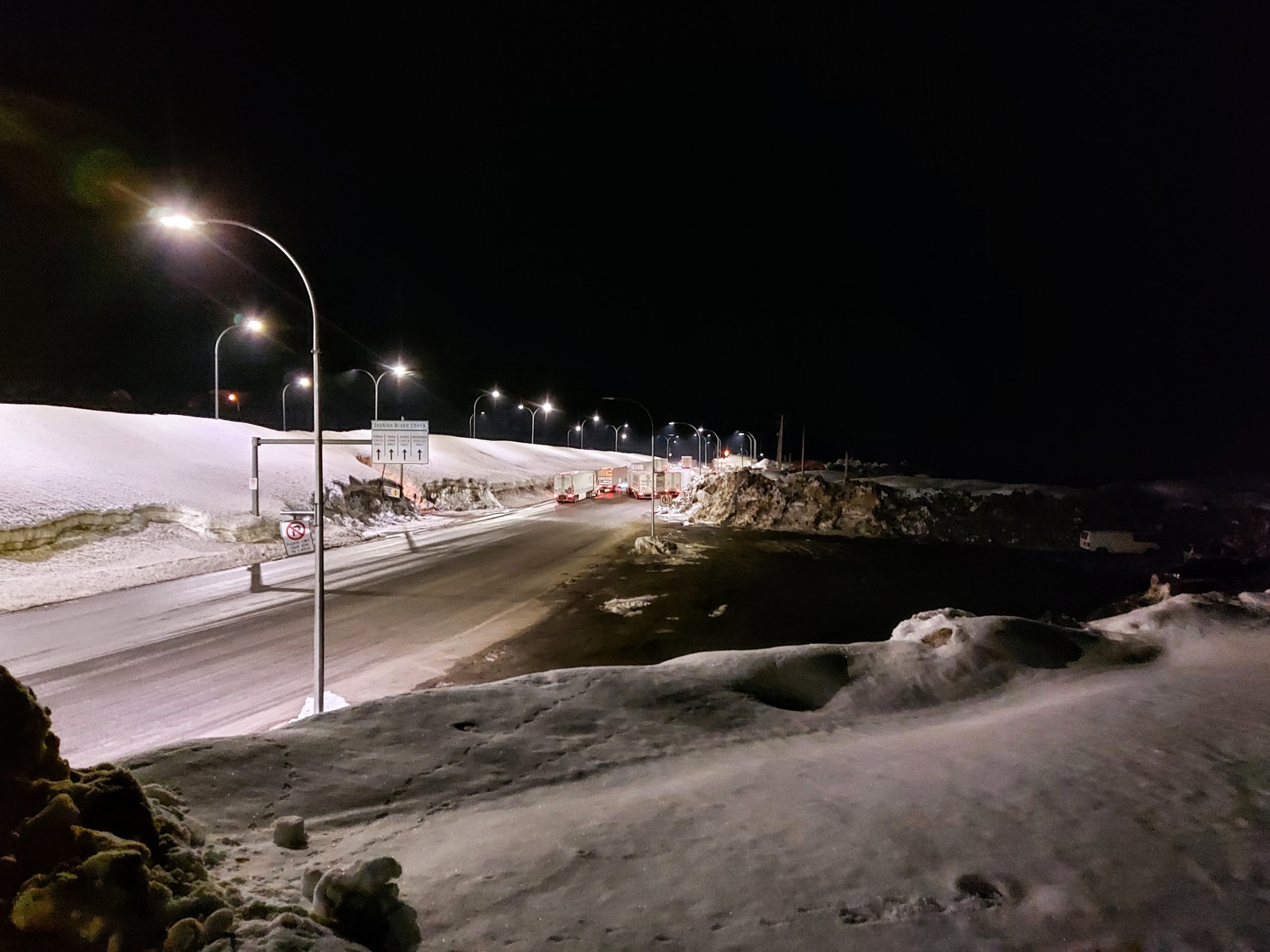
Back at Zopkios
Engaging TR as always. Took me a while to figure out you had lost zipper teeth, not actual teeth, after your fall—-although it sounds like it was bad enough that a bit of unexpected dentistry wouldn’t have been unreasonable
I loved the diagram! I think Devlin made the right decision to only eat one lunch that day. Thanks for sharing!
Glad you made it through. How did Devlin react to the tale? Happy to have stayed home but enjoying the read…?
Very nicely written, thanks for taking the time to tell the tale!
Jeff, you are ridiculous and unflappable but always make for good reading. Your cartoon had me laughing out lad. It seems Devlin is growing older and a bit wiser with his trip choice selection. Maybe he has started to clue in that not all ski trips must invoke cliffs and steel bush? The ridge with the wind tilted trees did look nice. Now we know why Baldwin has omitted the route from his map!
Wow I should learn not to comment on my phone (thanks auto-correct). Here is a second attempt:
Jeff, you are ridiculous and unflappable but always make for good reading. Your cartoon had me laughing out loud. It seems Devlin is growing older and a bit wiser with his trip choice selection. Maybe he has started to clue in that not all ski trips must invoke cliffs and steep bush? The ridge with the wind tilted trees did look nice. Now we know why Baldwin has omitted the route from his map!