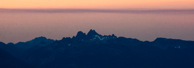
Sky Pilot seen from Brandywine Mountain
Date: October 2nd, 2022
Stats: 22km, 2000m, 11hrs
Members: Lucas Braun, Will Anthony, Fiona Farag, Zac Wirth
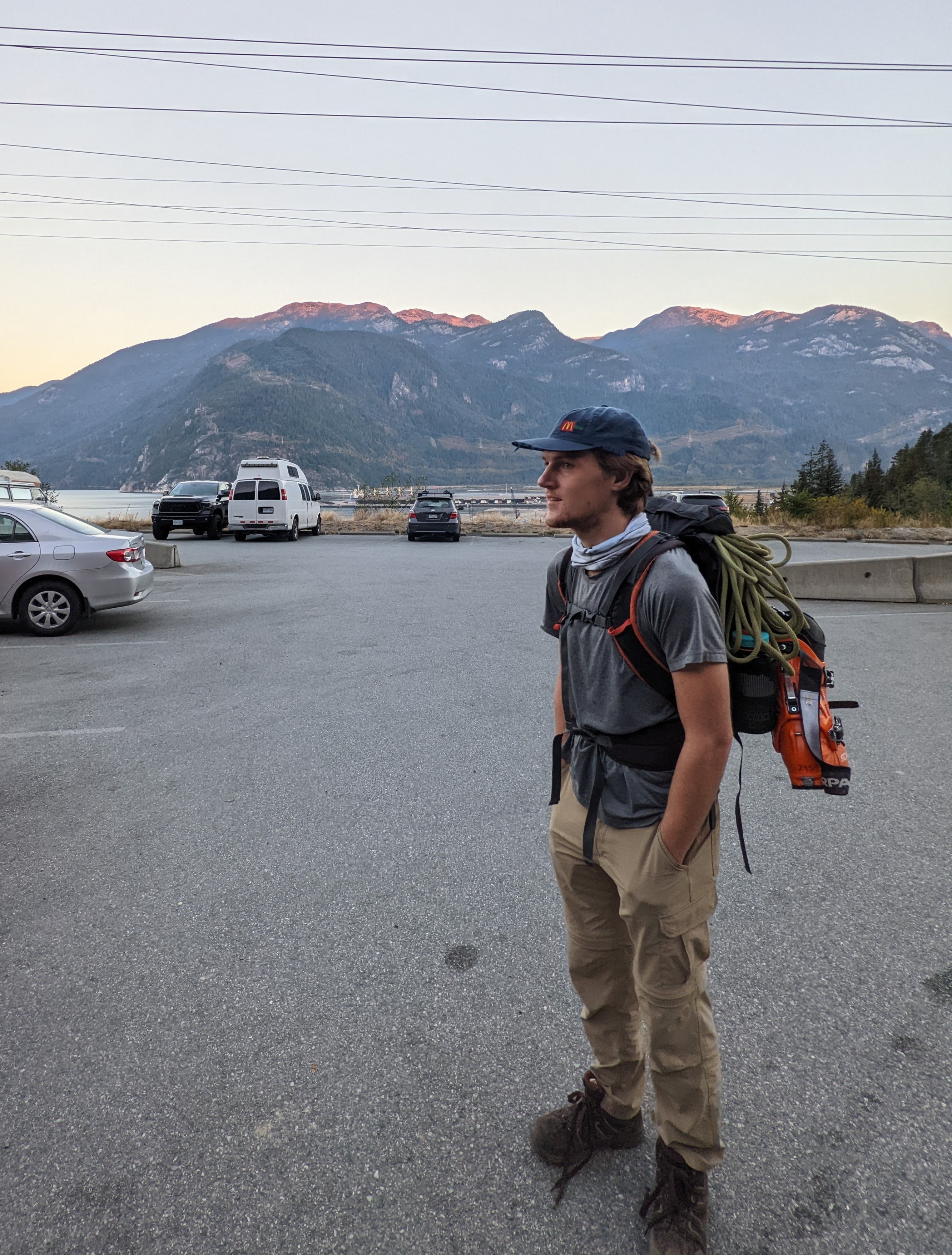
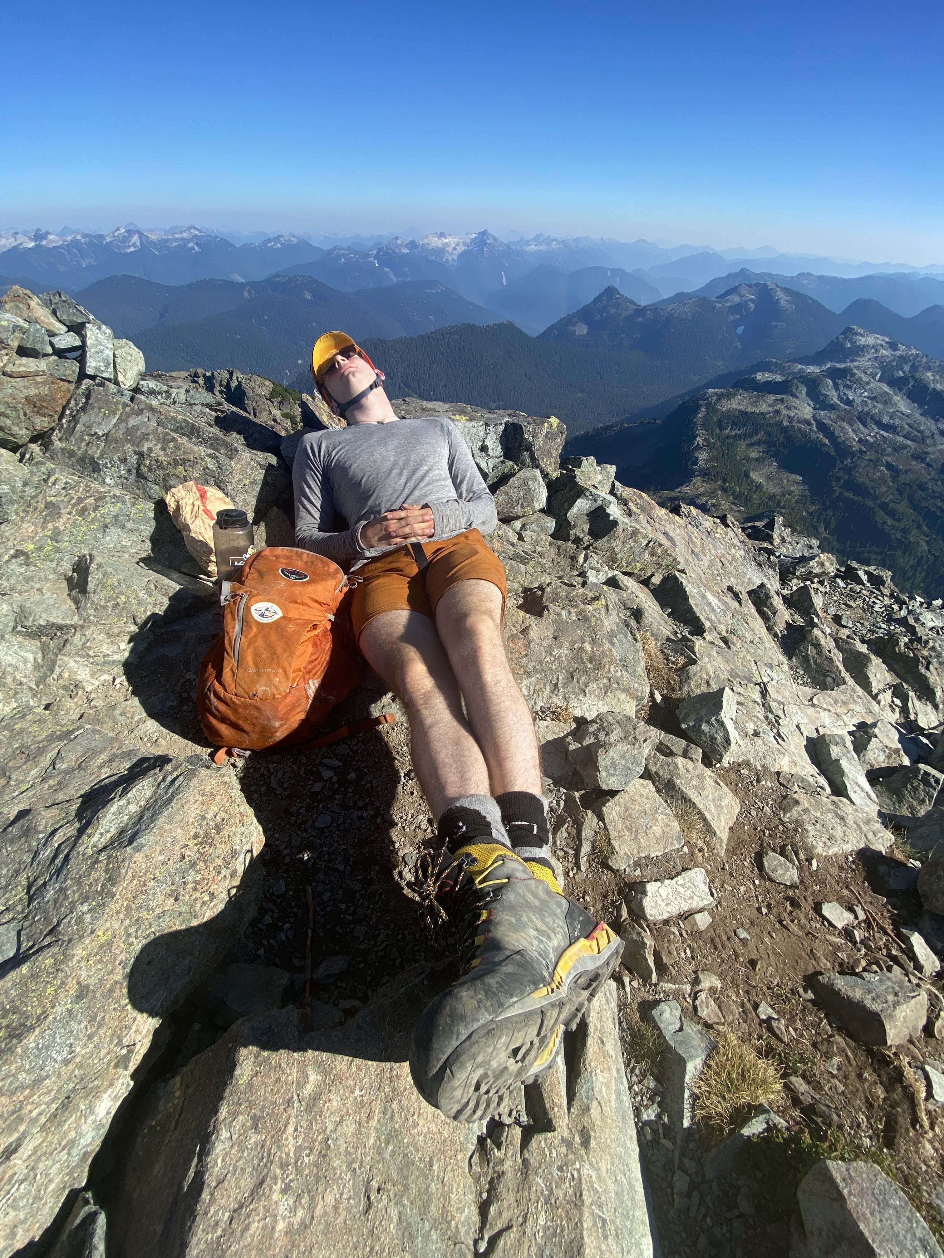
Lucas, ready to rock it with the ski boots.
Fresh out of Glacier School, the 4 of us set out to climb the infamous Sky Pilot. If you’re not yet acquainted with the mountain, it is a prominent peak located above the Sea to Sky Gondola in Squamish that is often considered as a beginner mountaineering trip (due to the glacier crossing and the exposed scrambling). We took advantage of the unusually warm, sunny fall weather and decided to try to climb Sky Pilot on October 2nd, starting at the base of the Chief and hopefully ending at the top of the gondola for the ride down. After everyone was wrangled, we left Vancouver around 6am and started hiking from the Chief parking lot by 7:30. We first made our way up the Chief trail and then branched off towards the Sea to Summit trail. This section was fairly uneventful and eventually we made our way up to the intersection of the Shannon Basin Loop. We took the right fork to bypass the Lodge because Gaia claimed it to be a few hundred meters shorter than the alternative. We continued the slog up and up until we finally reached Habrich Spur. At this point, it was almost 11am and we had travelled 9km and only climbed about 900m… And we weren’t even at the start of the Sky Pilot trail. Continuing along Habrich Spur, we eventually made it to the end of the road at roughly 1200m, where it abruptly ends and is replaced by beautiful (albeit very steep) singletrack through old-growth forest all the way up to the alpine.
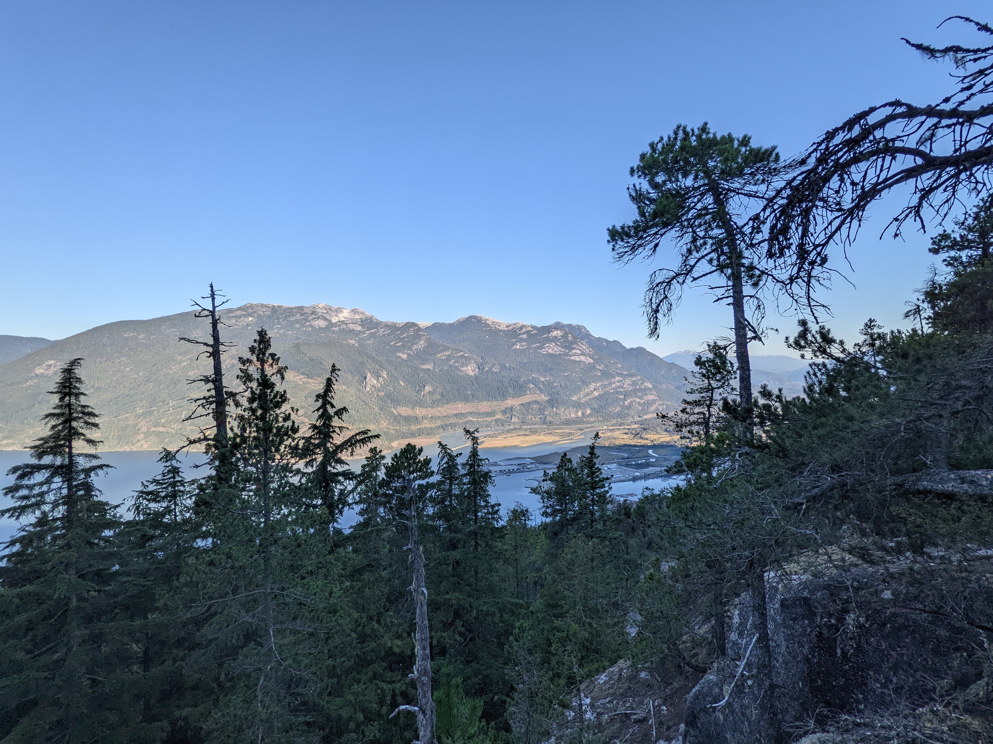
One of the few viewpoints on the Sea to Summit trail.
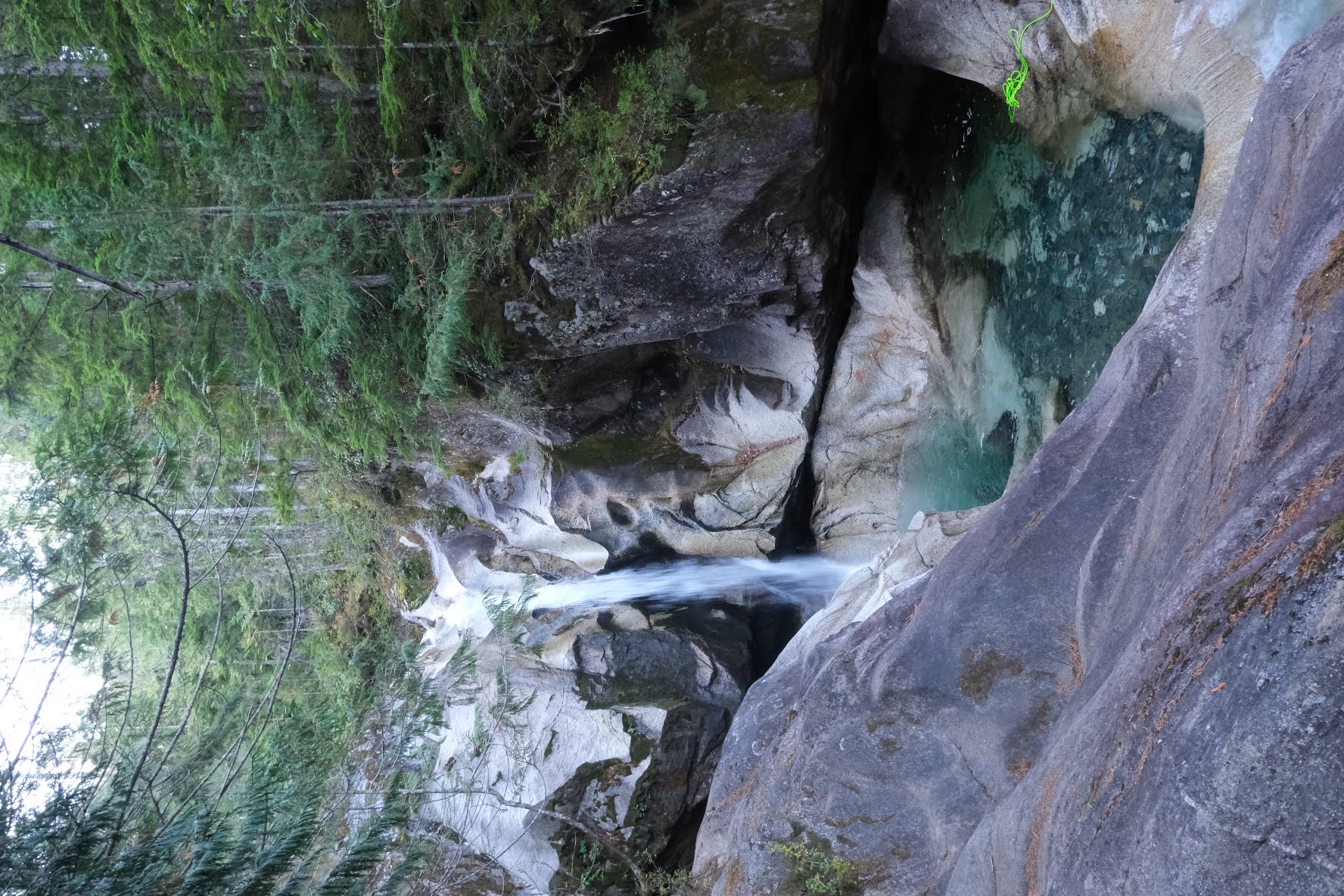
Upper Shannon Falls from the Sea to Summit Trail.
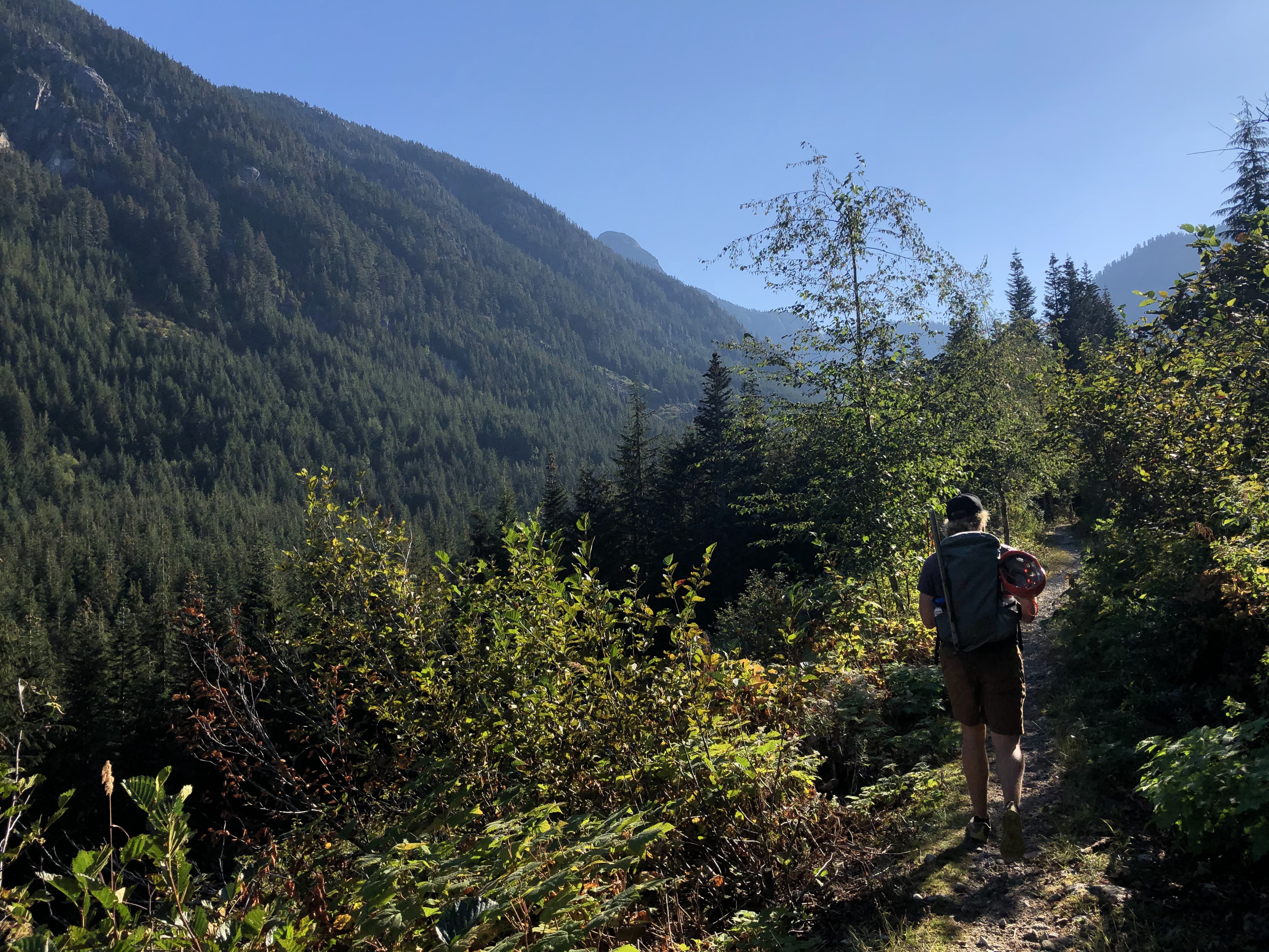
Typical views from the old logging roads.
We make it out of the trees at 12:30 and start the grind up to the Stadium Glacier sitting another 200 meters above us. At 1 o’clock, we made it to the glacier, only to be shocked at how small it was! Reading the route description and seeing the photos in the 2005 “Scrambles in SW BC” book by Matt Gunn, we had expected the glacier to be much larger. Looking at the debris-covered glacier, we were able to line up a route that only had us on the hard ice for ~20 meters. After that came what we found to be the worst part of the trip: a nasty loose talus gully en route to access the main ridge to the summit. Luckily we all made it to the ridge after about an hour (including a snack break). Unfortunately, Fiona had squished her finger in a rock that was pulled loose, needing some minor first aid.
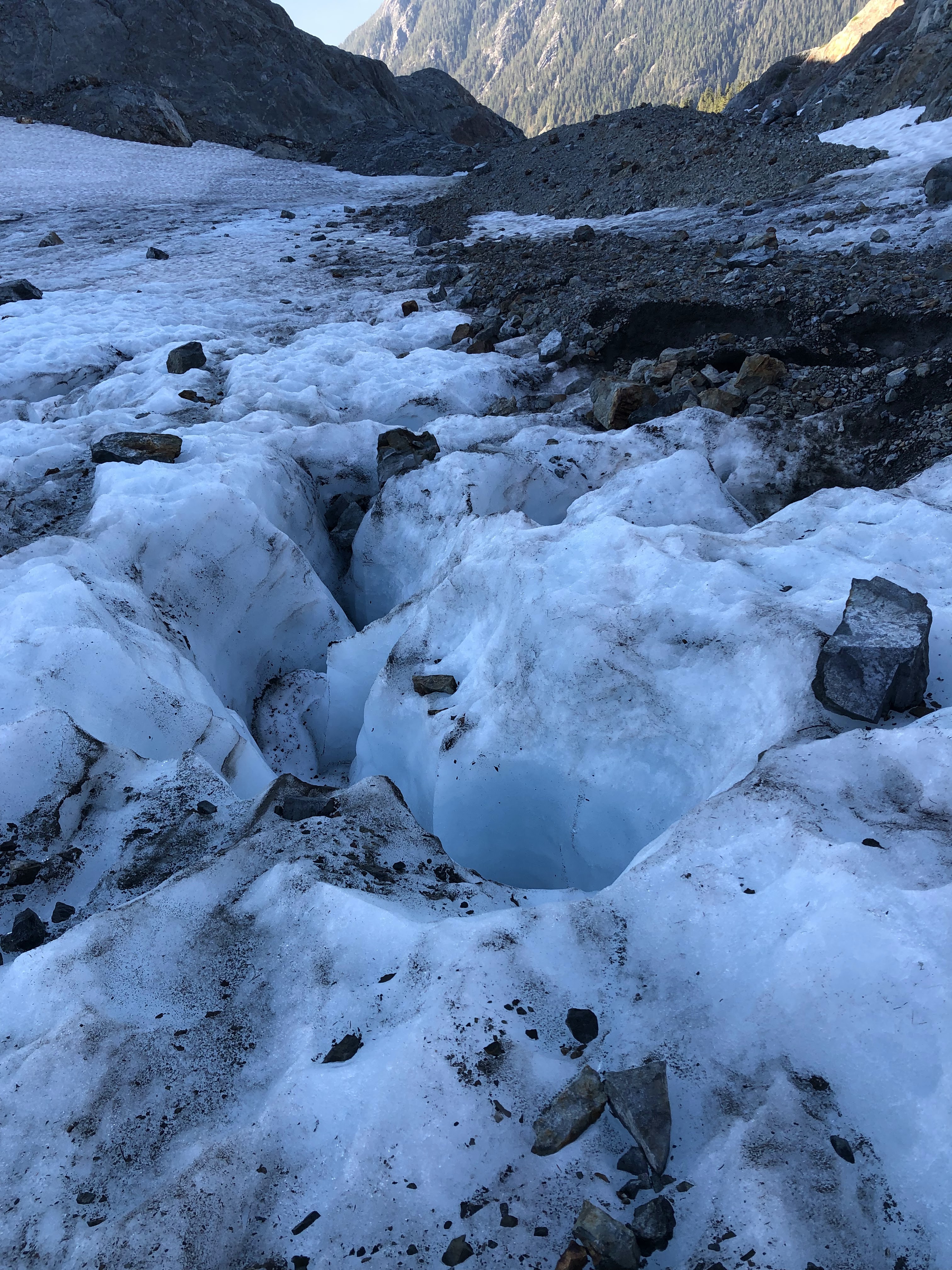
A look at the rapidly shrinking glacier…
Looking down on the glacier from the ridge. Notice the debris cover. Our route followed the narrowest section between debris and rock.
So, at 2pm, we were finally ready to start the scramble to the summit. At this point, we were doubtful that we would make it back down in time to catch the last gondola at 7pm. We stashed the unnecessary gear (the unused crampons, ice axes, and Lucas’s ski boots✝) and got going to the Pink Slab.
Approaching the Pink Slab.
Lucas found a line up the slab and led the way. The four of us took slightly different roots and all made it up without a hitch. In all, the Pink Slab felt pretty airy and didn’t have the best footholds or handholds (luckily they were all solid), but overall the scramble was pretty chill but very committing.

Looking back down on what was the first of many gullies.

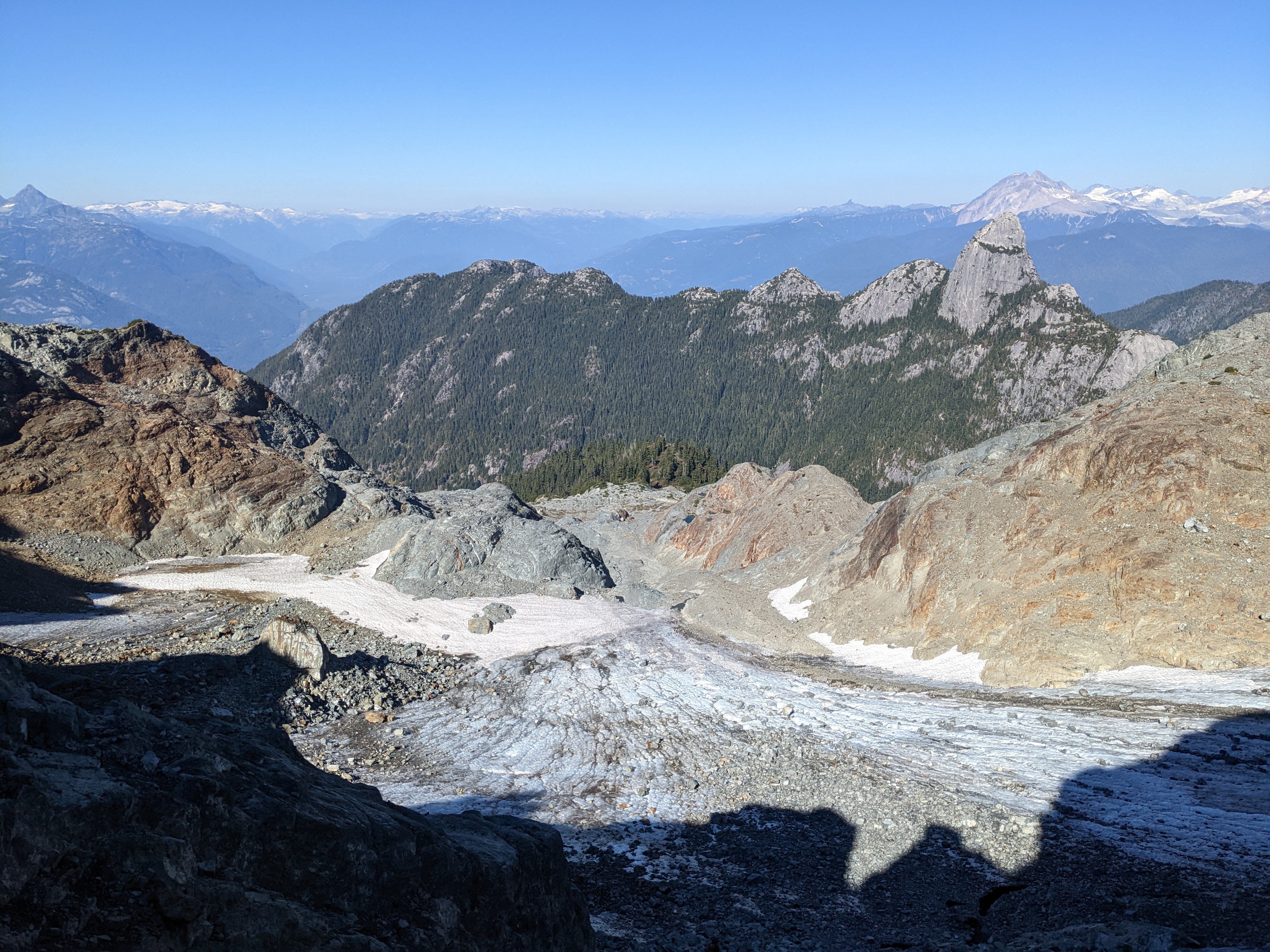
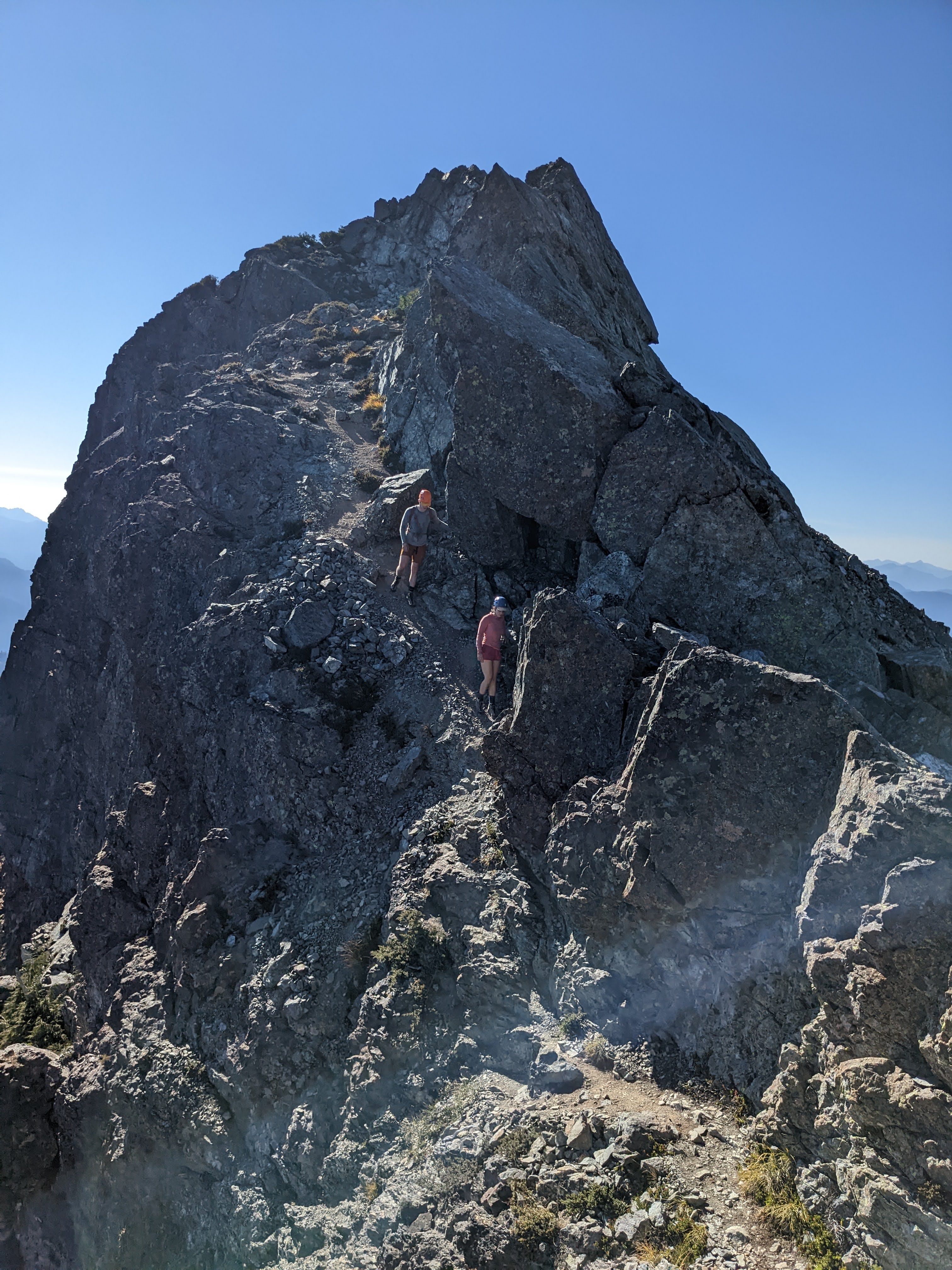
Looking at the summit from the subpeak with Mount Garibaldi (Nch’kay’) dominating the background.
Will and Fiona descend from the subpeak.
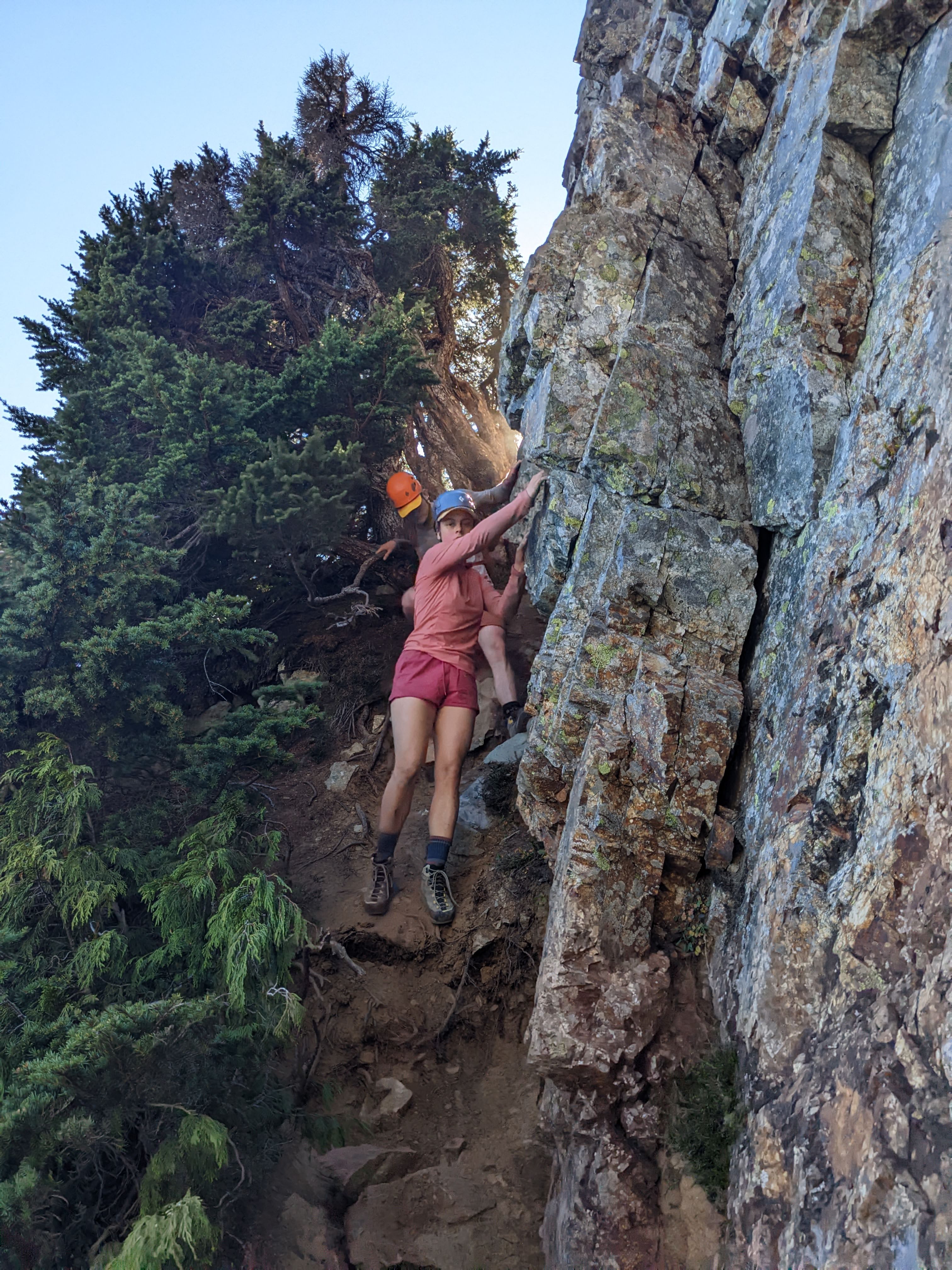
Will and Fiona climbing through the awkward treed gully.
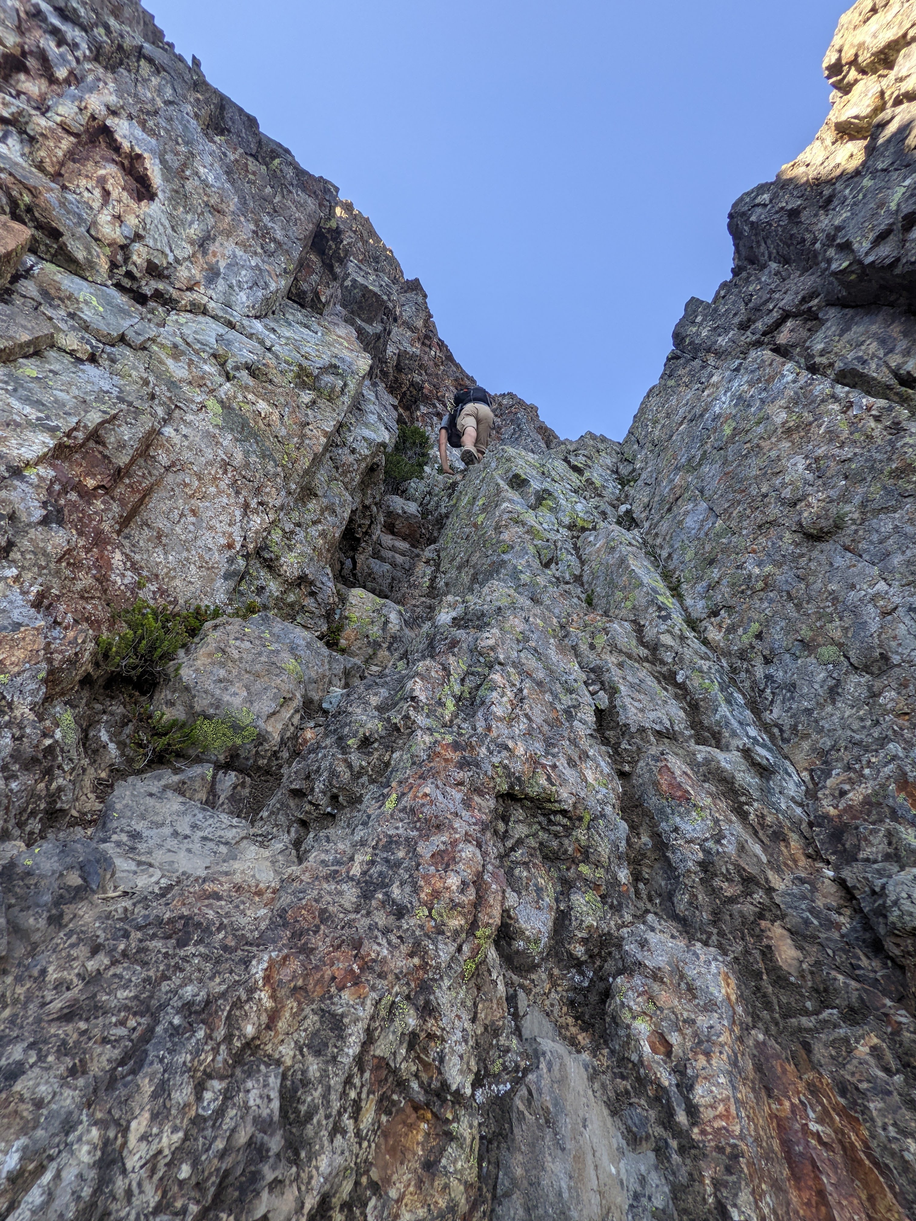
Lucas climbing up the small gully into Crux #2.
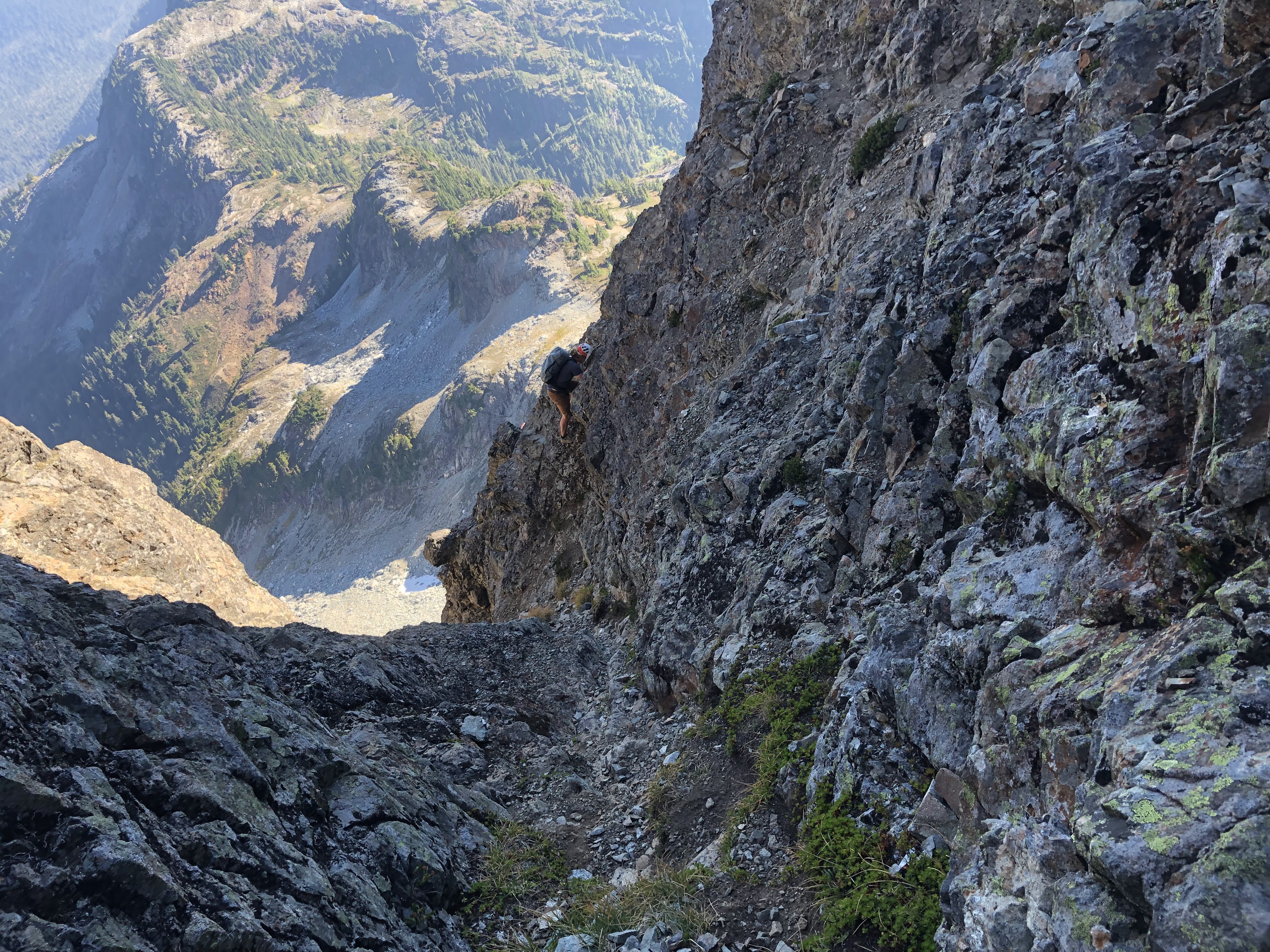
Me climbing above the exposed Crux #2, just before the summit.
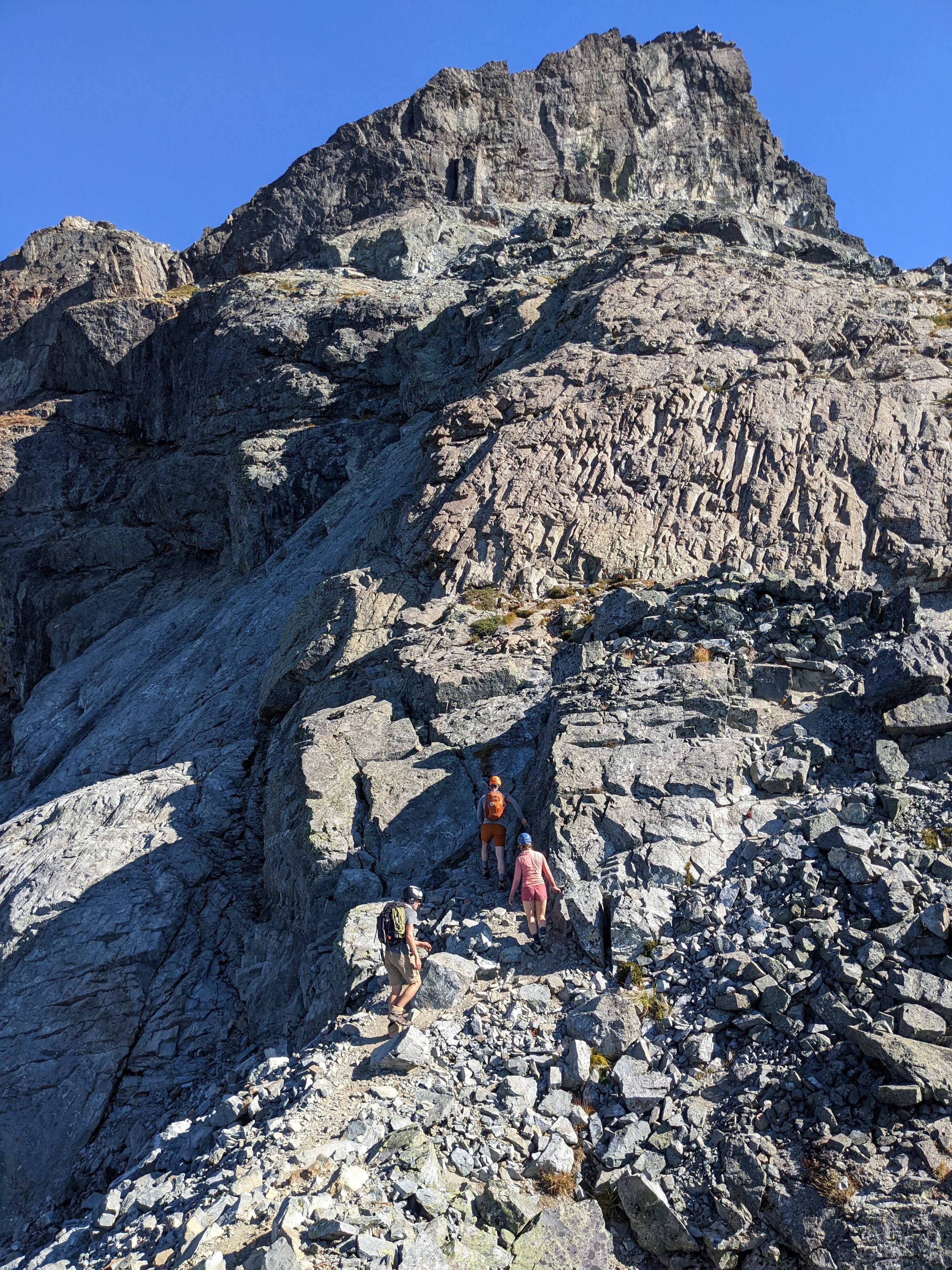
We got up to the first of a few gullies and waited for a few scramblers to downclimb before we made our way up. The gullies up to the subpeak were all fairly easy and before long we were dropping off the subpeak down to the col. The treed gully was very narrow and some awkward side-shuffling was needed. Before long, we were at Crux #2 as described by Matt Gunn. The little gully and the main gully had a few moves that were quite exposed and felt pretty sketchy, but before long we were standing on the summit.
Will enjoys the summit.
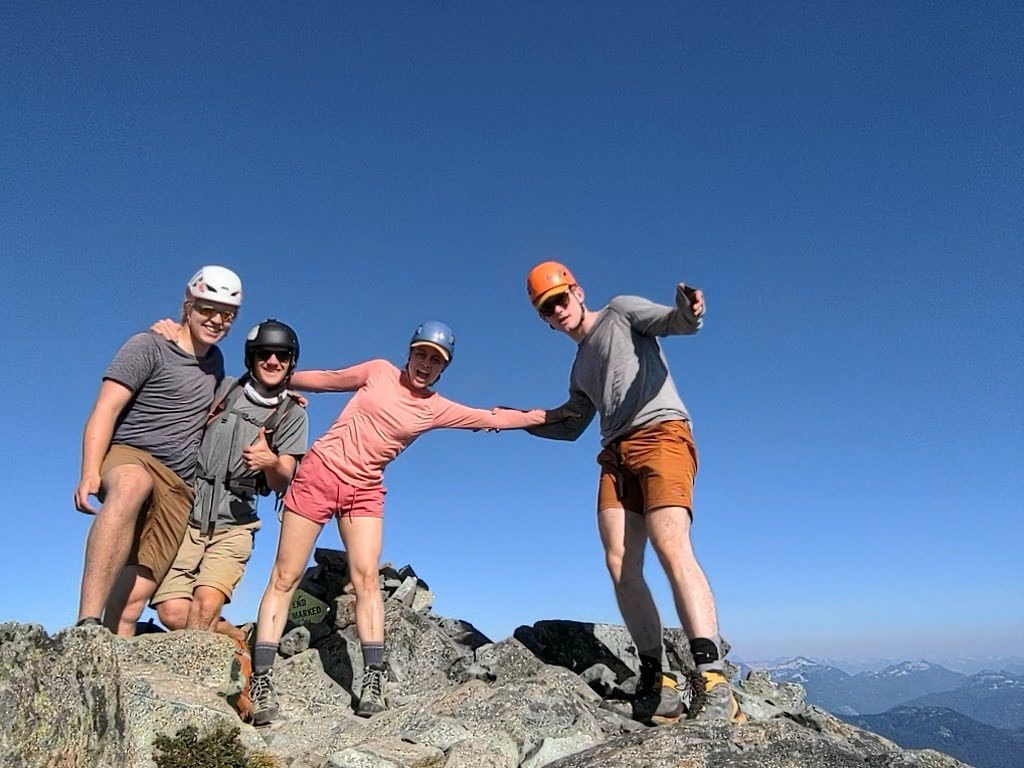
Awkward group photo on the peak.
It was now 3pm, 7.5 hours, 14km, and 2100 meters in, and we were all exhausted. But, we still had hope that we would make it back to the gondola by 7pm. After our snacks were eaten and our photos were taken, we were on our way back down. We skipped the first rappel loops down Crux #2 and shortly after we were at the Pink Slab. As tired as we were, we all liked the idea of challenging our skills and downclimbing the class 4 slab, despite having carried a rope for the last 9 hours. Lucas went down first and then I picked my line, finding a narrow ledge that went halfway down the slab. At one point, both my feet slipped and I was left hanging on by my fingertips… Okay maybe it wasn’t that dramatic but there was definitely a 30 meter drop below me. Fiona and Will downclimbed effortlessly, walking like crabs and talking about their favourite songs.
Once we were back on terra firma, the urgency of our descent increased, still having 7 kilometers to cover in 2.5 hours. We got back to Habrich Spur just before 6 and the final obstacle lay ahead of us: a 4.5 kilometer slog on the logging road back to the lodge. With a little bit of jogging and some very silly walking, we covered this distance in 35 minutes, having a bit of time to spare enjoying the sights and amenities of the lodge before the ride down. In all, everyone made it home by 9pm, satisfied at having ticked off this iconic objective… And dreaming of the next…
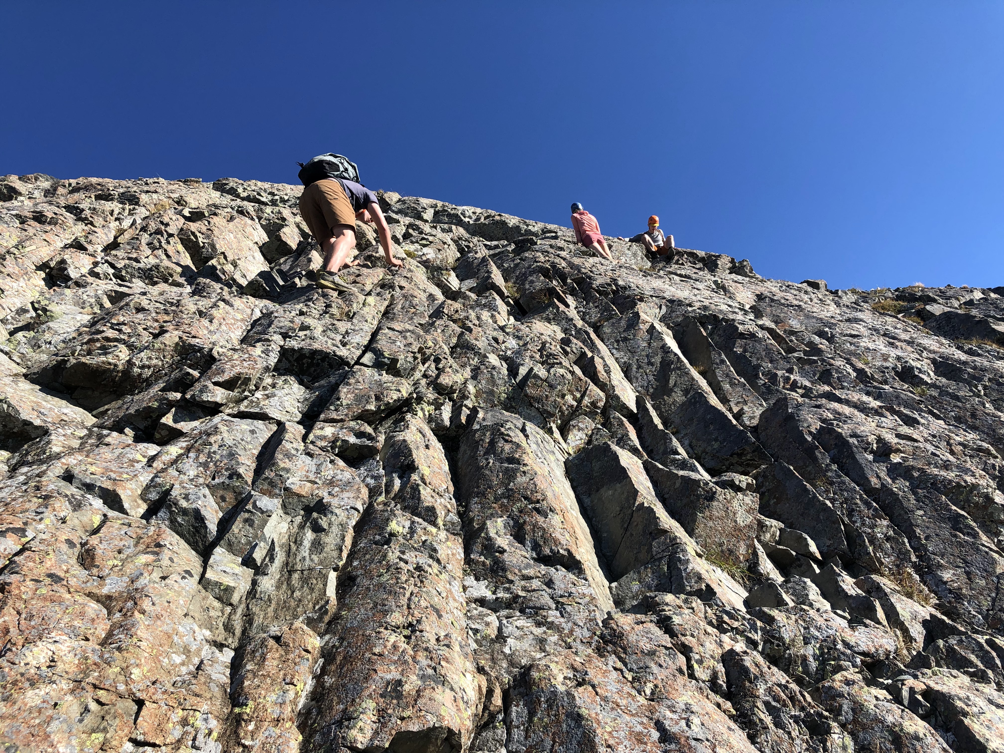
Fiona, Will, and I downclimbing the Pink Slab.
If you’re thinking of giving Sky Pilot a shot, I would recommend this scramble to anyone able to hike long days and who has a good amount of scrambling experience in and around southwest BC (this would be a dangerous first scramble). With the strange October weather we’ve had this year, the conditions have been favourable much later into the season than average. Definitely check snow conditions before you choose to head out and decide whether or not to bring glacier gear. We didn’t end up using our rope or glacier gear, aside from our ice axes as walking canes on the short section of ice. We also chose to hike up rather than take the gondola to save $40. The hike up the Sea to Summit trail added 8 kilometers onto the hike and honestly wasn’t very interesting. If I did it again, I would definitely bite the bullet and take the gondola up or drive up the access road (unless the true sea level to summit peakbagging allures you…).
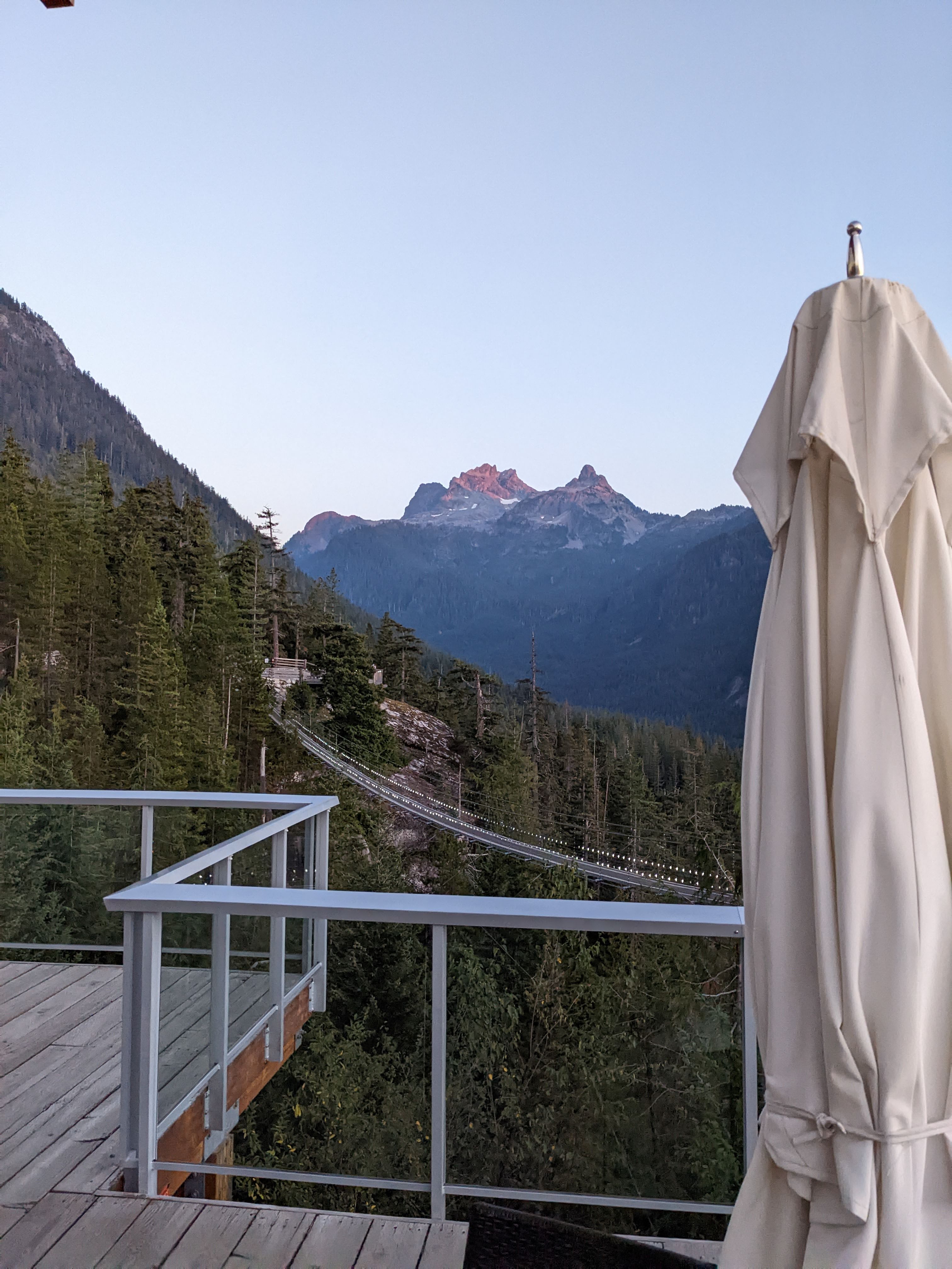
Looking back at our objective in the evening light from the lodge.
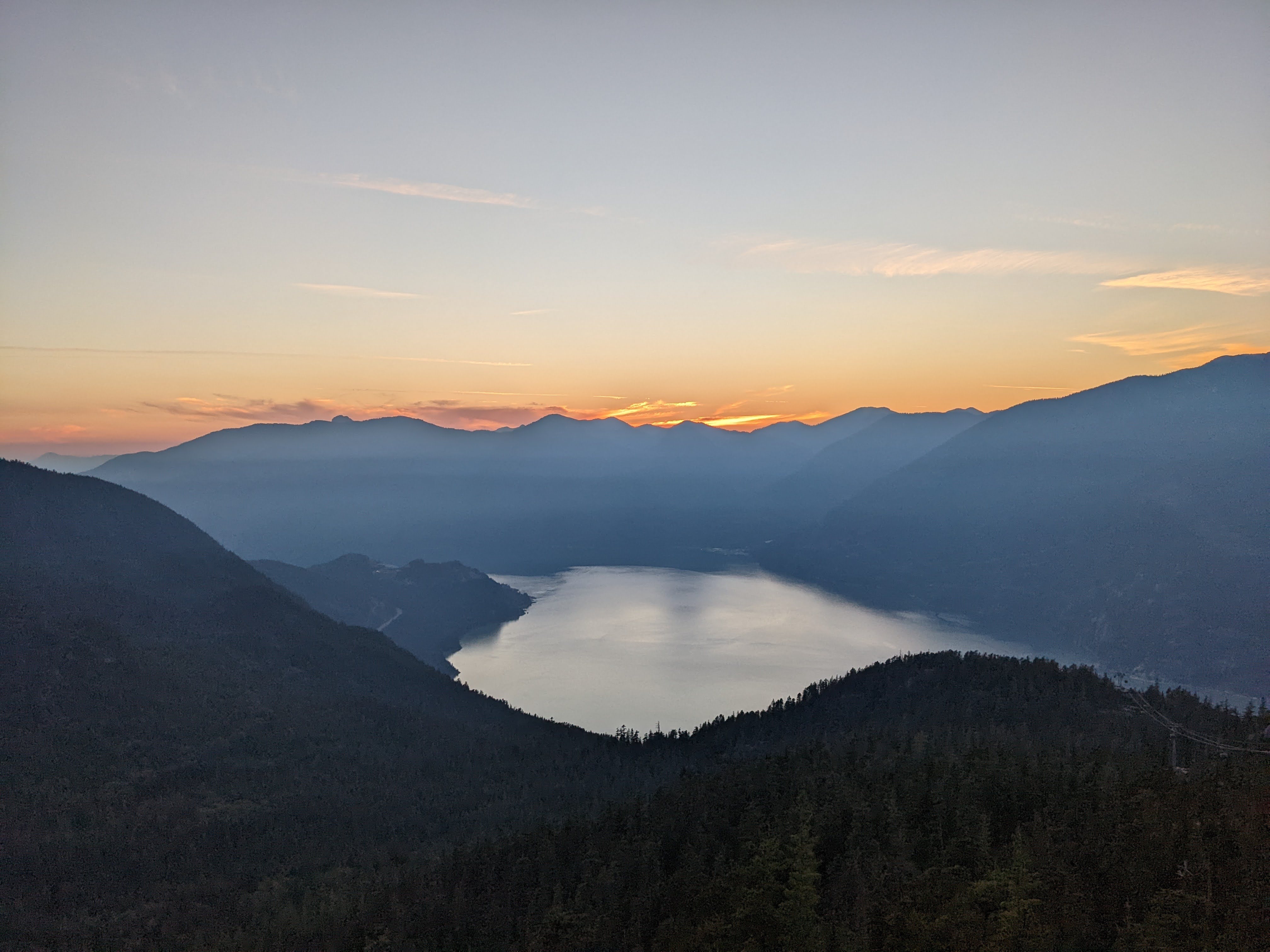
Howe Sound in the evening light.
✝Long story short, Lucas had packed his ski boots since the crampons he had wouldn’t fit on his hiking boots. Other hikers were very puzzled by the sight of ski boots sans the skis. Luckily, Lucas did get some use out of them, wearing them on the gondola ride down and from the parking lot to the car!
Such a photogenic group!