Photos: https://photos.app.goo.gl/C8oyUPU9RWHq6wZU6
Map (GPS route): https://caltopo.com/m/RL1LN
Back in August, Tom Curran and I wanted to do a trip that was simple (no glacier travel) and involved minimal planning since we were both exhausted with no capacity to organize a group, route or complex car shuttle. Scrolling through the message board one evening, I saw a post from Lena Rowat talking about doing a 12 day traverse with kids from McGillivray Pass to Tenquille Lake leaving Wednesday. This sounded like a perfect trip! We could leave from Hope Creek a few days later and hike the route opposite them.
We meant to leave Friday evening, but ended up departing Vancouver late Saturday. We drove up the Sea to Sky and camped just off the road near the 2km gate for Harrison Hut. Before leaving, neither of us had done more than glance through the GPS file from Lena. Retrospectively, I realize that I had not even googled the name of the traverse.
Sunday August 21 – Hope Creek FSR to glacier lakes (below Valpolicella Peak)
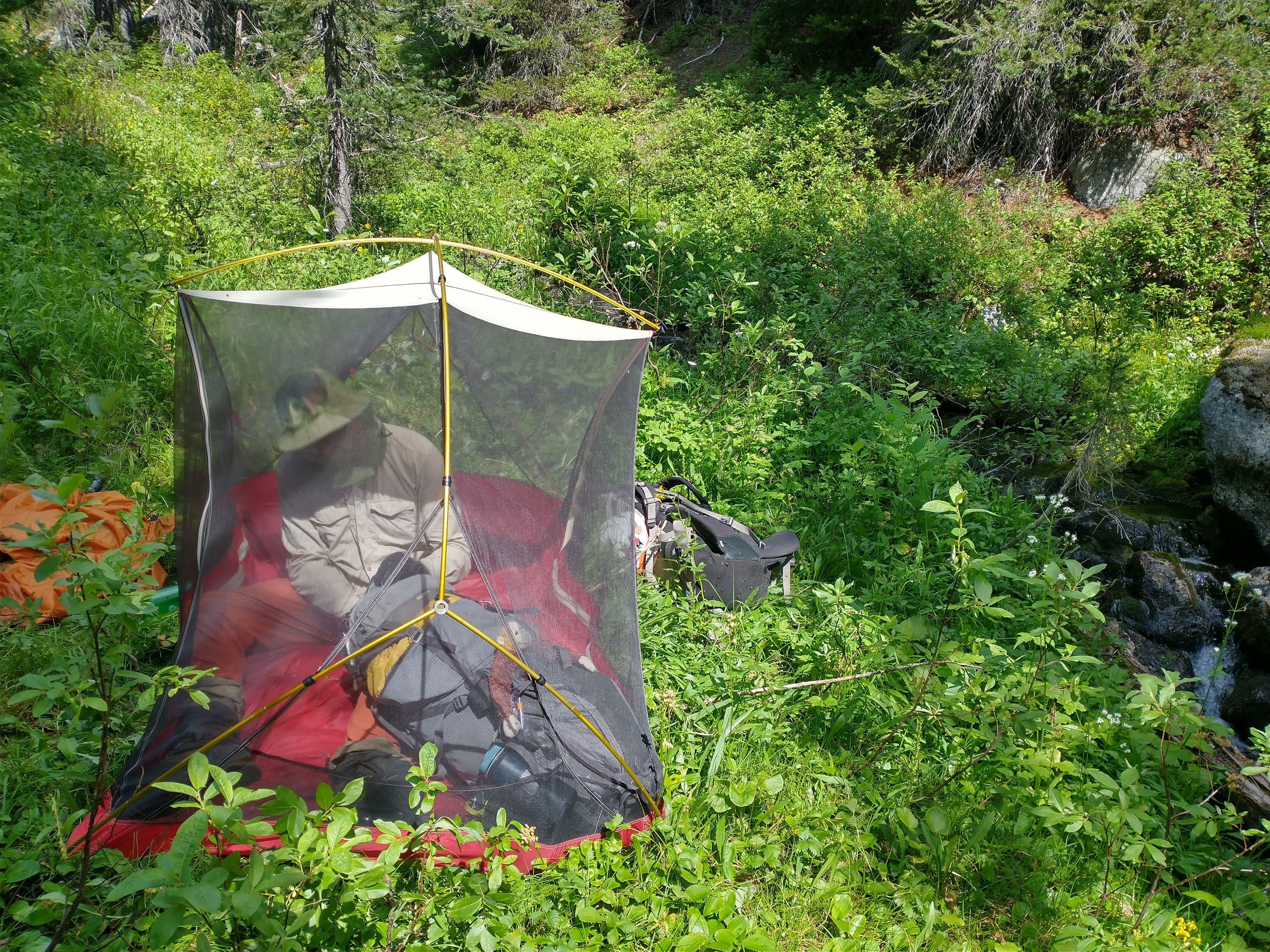
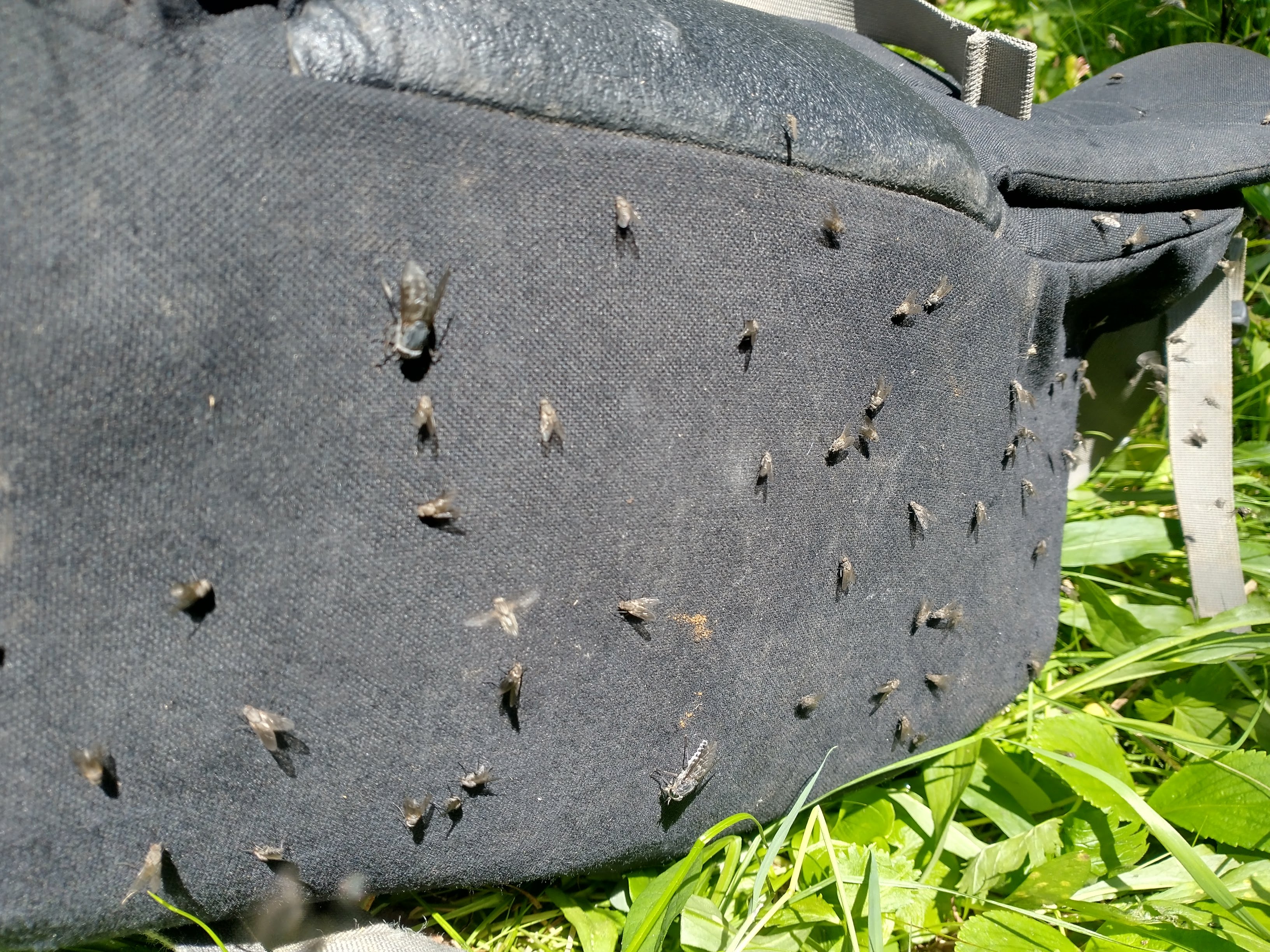
Waking at 7am (a record for the trip), we drove up the Hurley onto the Hope Creek FSR. About 3km from the elbow in the road it got bushy with a bunch of waterbars. One kilometer from the elbow we parked (where the road began going up and there were larger rocks on the road). A larger 4×4 vehicle with high clearance and no concern about driving through dense paint scraping alder would have made it to the end. After leaving the logging road approximately where the GPS track did, we wandered through the forest. The bugs were terrible. By lunch, we were so desperate to escape that we decided to set up the tent inner but the bugs managed to sneak in with us.
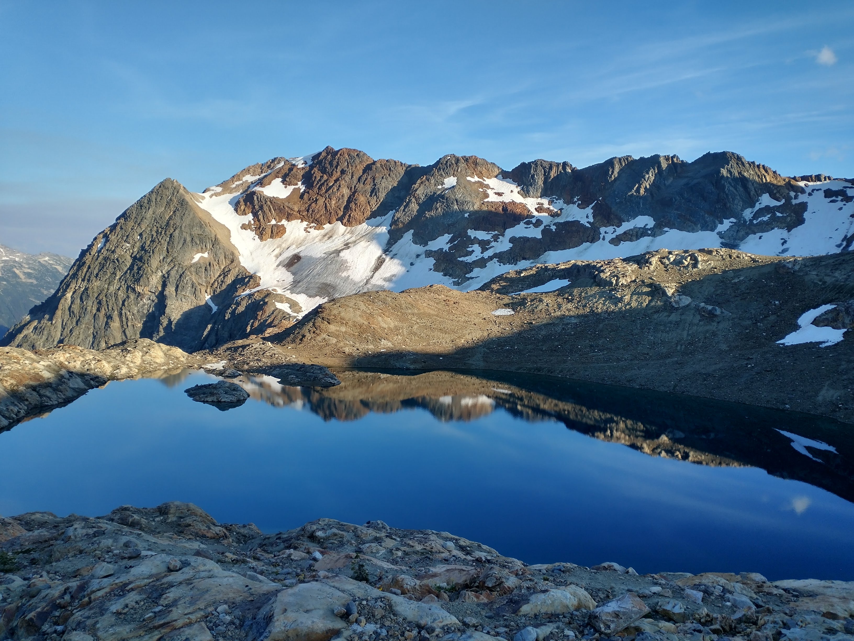
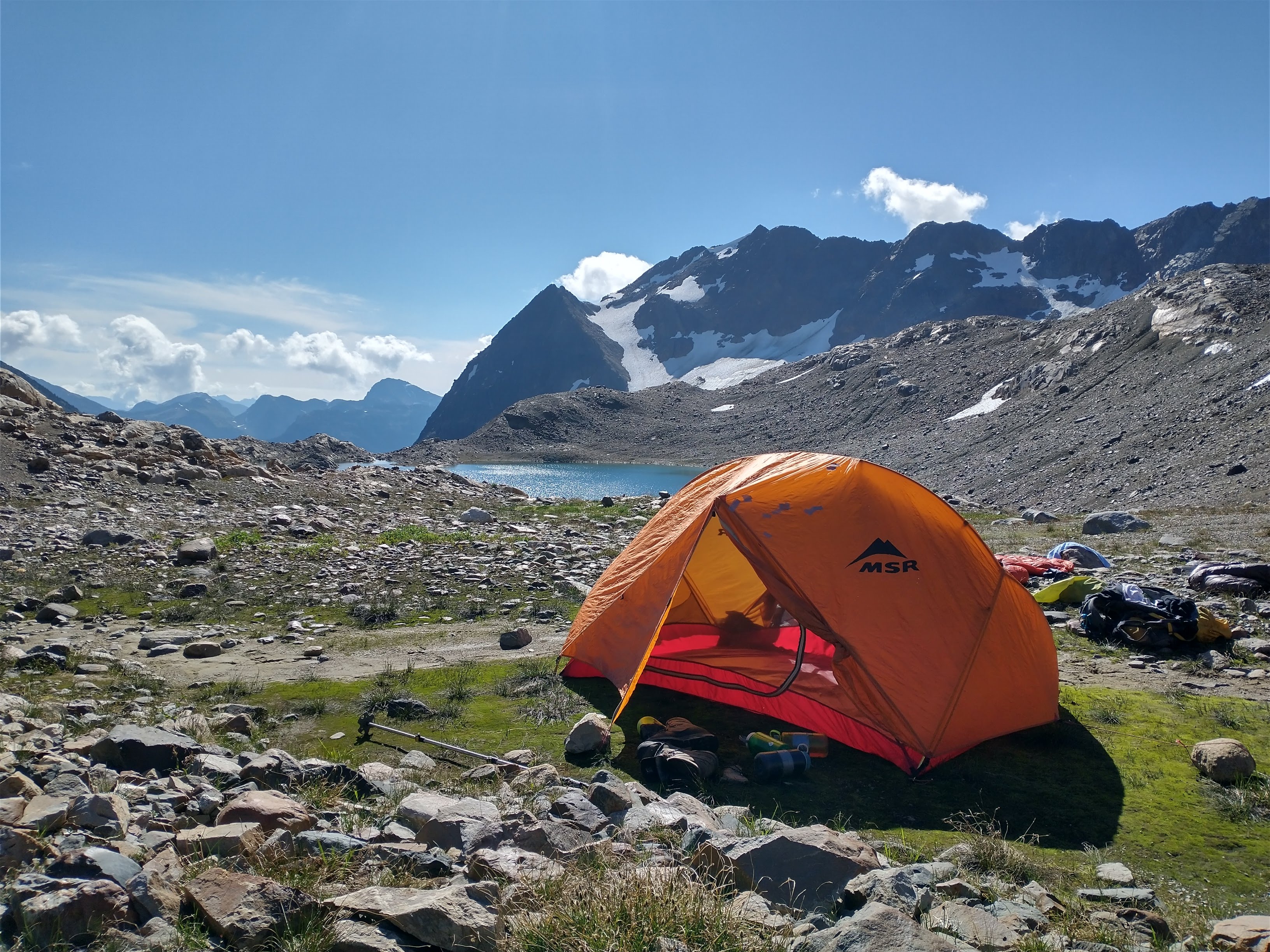
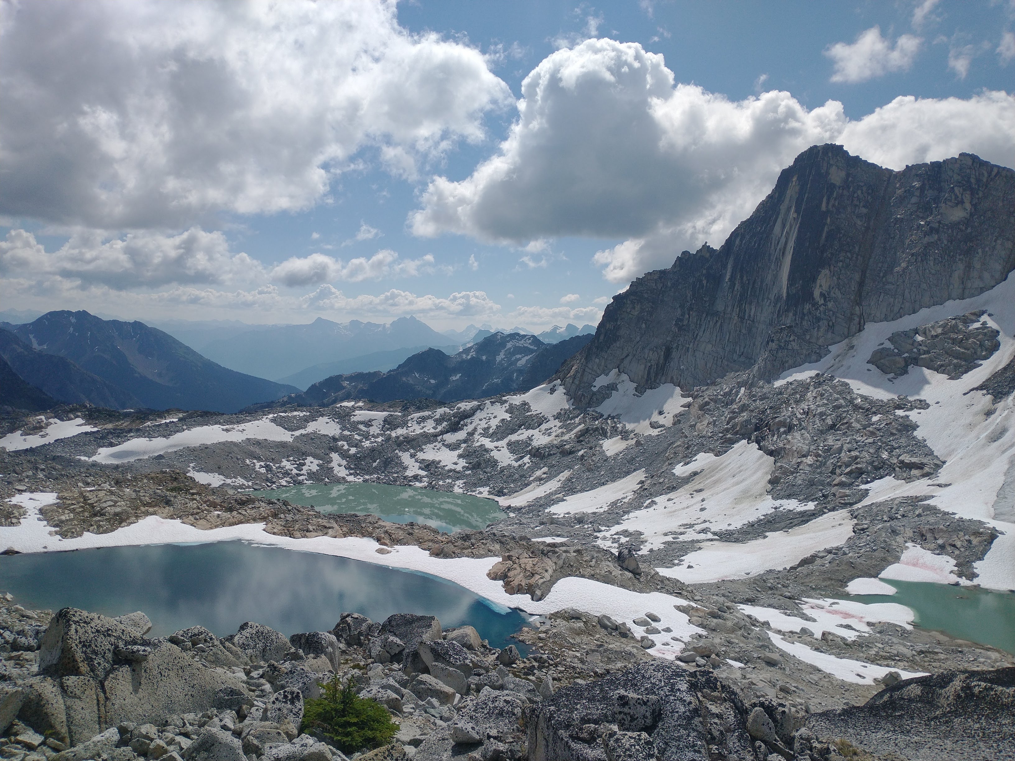
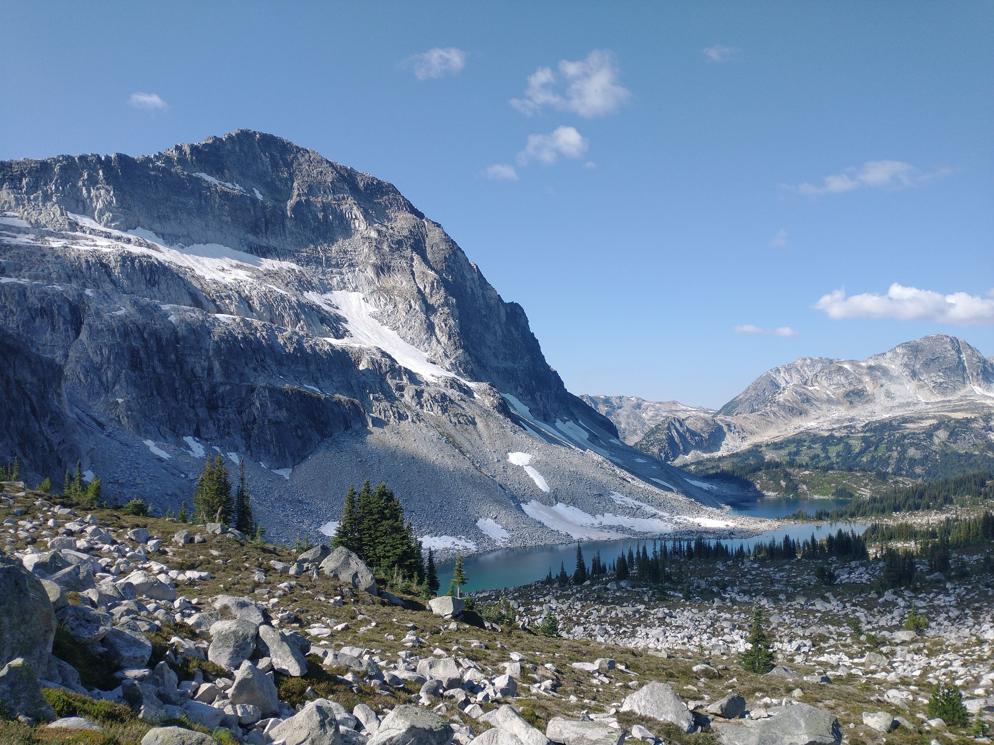
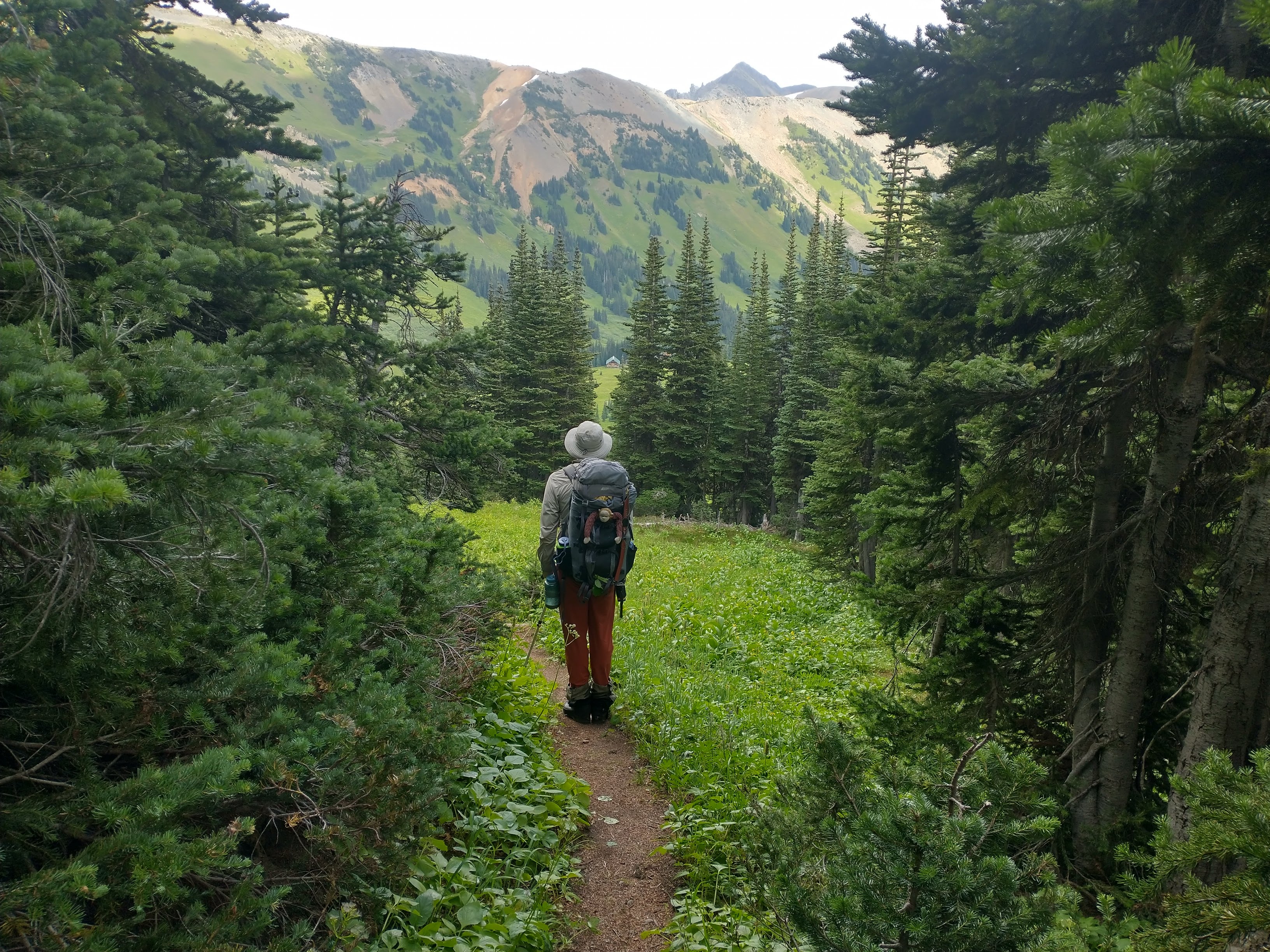
After hiking on some animal trails through the forest, we eventually reached a creek that led us up into a pass. The other side of the pass was all subalpine meadows with a beautiful (and relatively warm) lake. After a quick swim, we continued through the meadows up and over another pass to a series of three more lakes where we swam and set up camp. The view from our dinner spot was gorgeous. The bugs were still present but it felt wonderful to be out of the city.
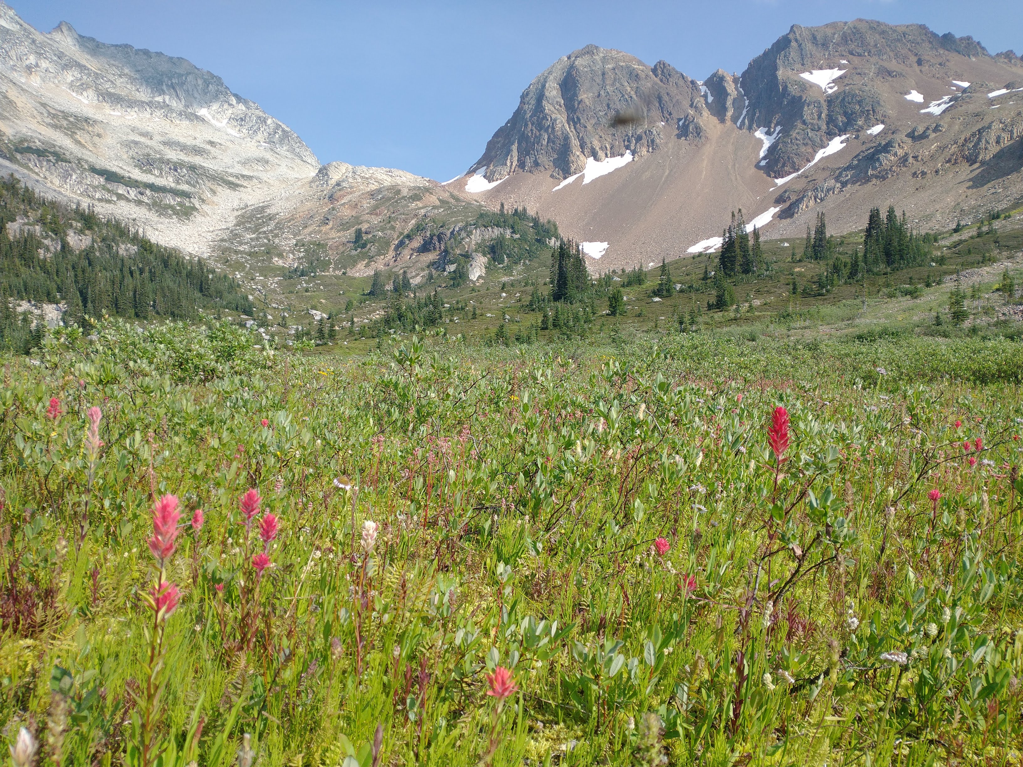
Second pass we were headed for in the distance
View looking down from the second pass
Monday August 22 – Glacier lakes to group camp spot
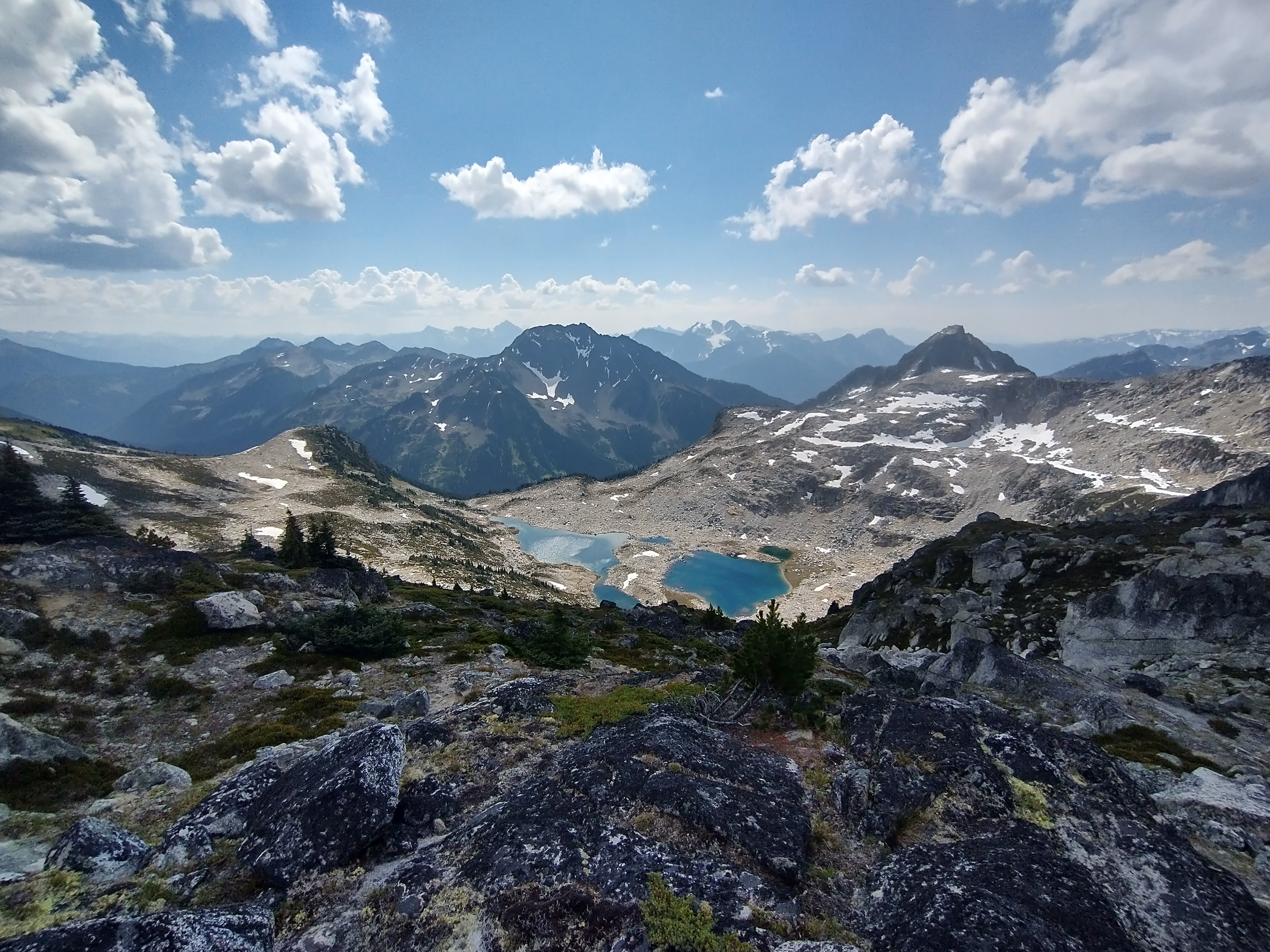
The next day, following our plan to have a relaxing trip, we slept in and left camp at 1:30pm. We were planning to meet the other group (Nick, Lena, Charles, Hamish, Neve and Rohan) at a lake only 4.5km away. The travel was not very fast though. First we hiked down into a valley where we found hundreds of blue butterflies then we began the steep bushy ascent onto a ridge that we could follow down to our next camp. This climb up through the trees was one of the steeper bushier parts of the trip but went quite easily. By 5pm, we were on the ridge searching for any signs of people by the lake below. The views were spectacular! We could see the Phelix area in the distance to the east, as well as look back west at Valpolicella, Beaujolais, Chipmunk, and Tenquille. Just as it started to get dark, we raced down and met Lena coming up to see us. This camp spot had good wind, fewer bugs and great views.

Mountain goat wool on a pine


View from the ridge
Tuesday August 23 – Group camp spot to Aragorn lakes
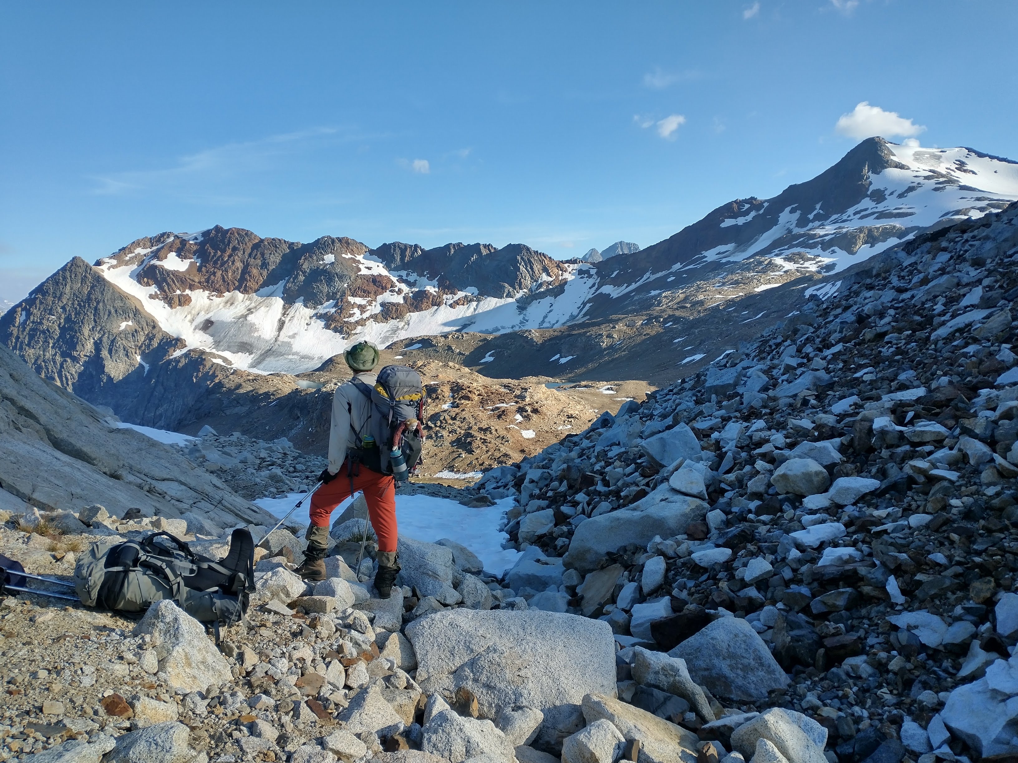
We got an earlier start (9am) and enjoyed breakfast and stuffed animal games with Charles, Neve and Rohan. Lena suggested we try the more scenic and scrambly route along the ridge towards Aragorn. She had done this route a few years before and knew it was possible. On this trip, their group had taken a look at this route and decided it was not kid friendly. Curiosity and a desire to include as much ridge walking as possible led us to try out the suggested route. After some steep sidehilling through alpine meadows, we dropped down to the col and began the climb along a wide ridge up to a still partially frozen lake. A very quick cold swim refreshed us enough to continue up to the main ridge. Dark clouds appeared on the horizon about when we got on the ridge. From a distance the ridge looked narrow but not impossible. We debated turning around and following the GPS track we had but curiosity drew us on. For the most part the ridge was walking and easy scrambling with some short sections that required using hands. About halfway along the ridge we saw two mountain goats. We had for days been following their tracks and found clumps of hair on bushes occasionally but it was special to see them racing along the ridge ahead of us. As it began to get dark we reached the far side of the ridge and the “not kid friendly” crux Nick and Lena had described. After a bit of searching in the fading light, I found a route that worked. Tom and I crossed the ridge and headed down to the lakes below Aragorn just as it began to rain/snow.

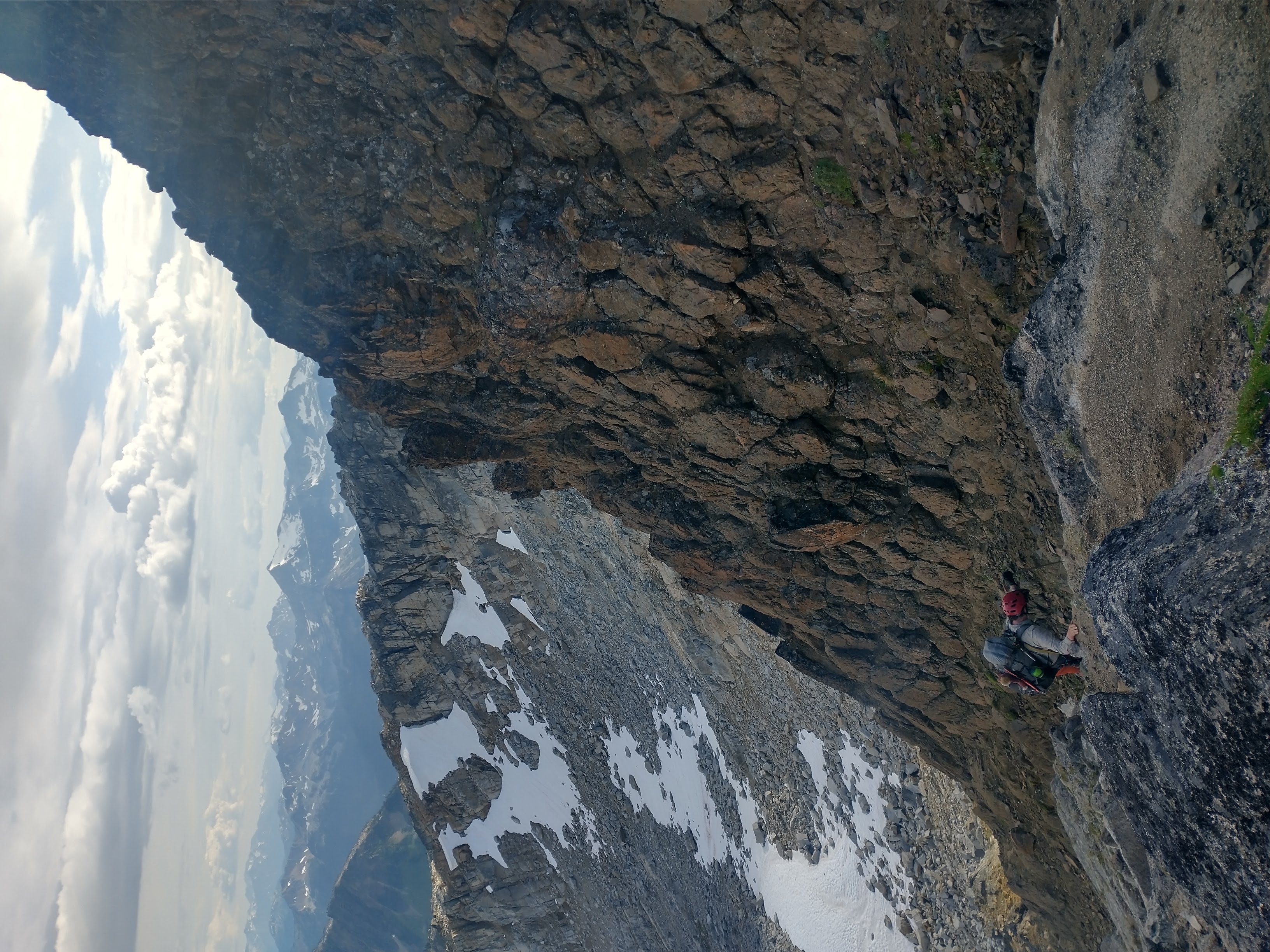
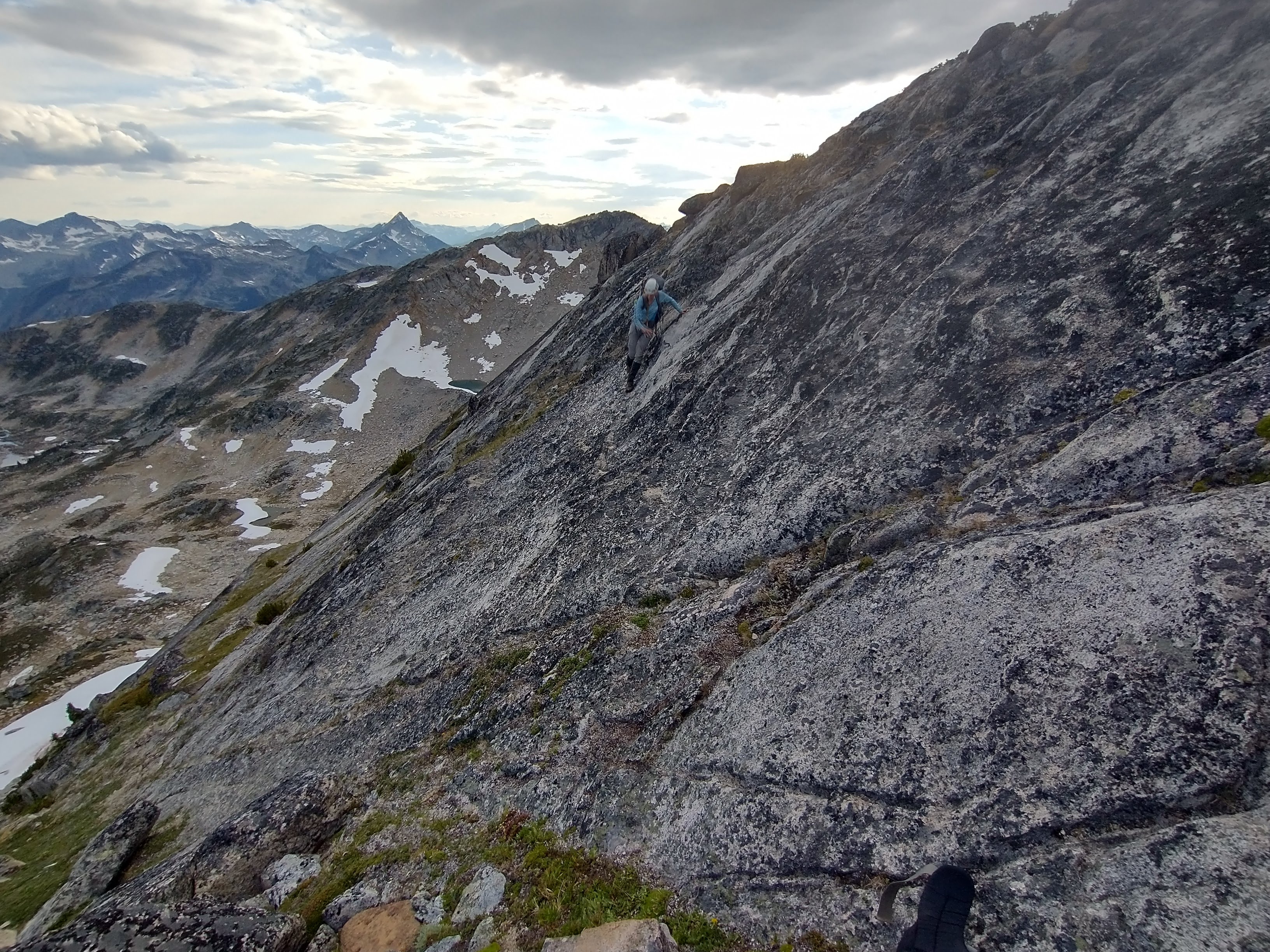
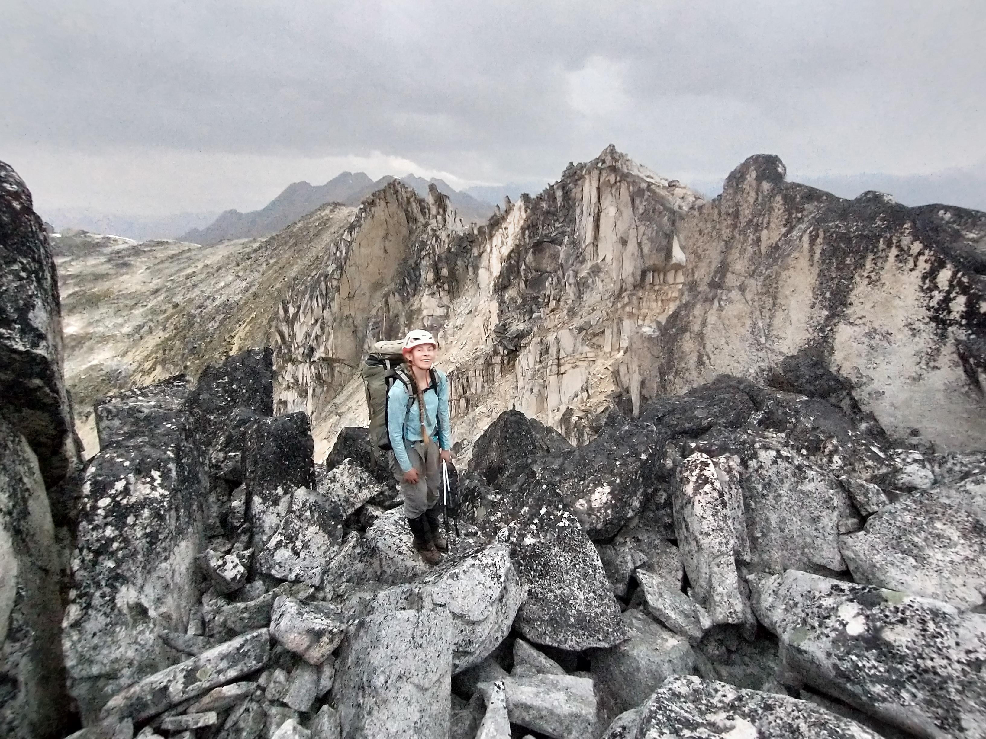
Ridge we followed in the background

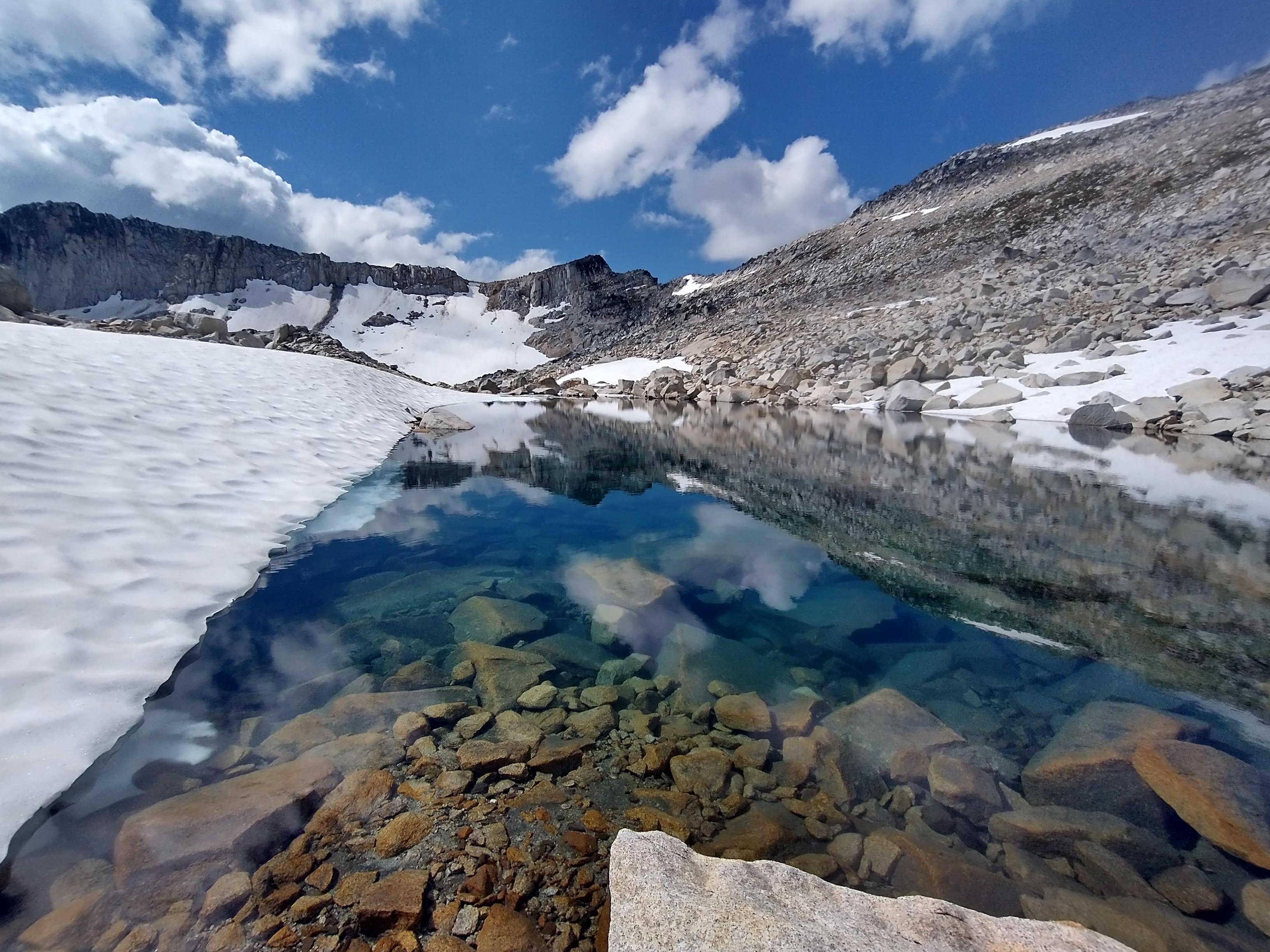
Wednesday August 24 – Aragorn lakes to Taillefer lakes
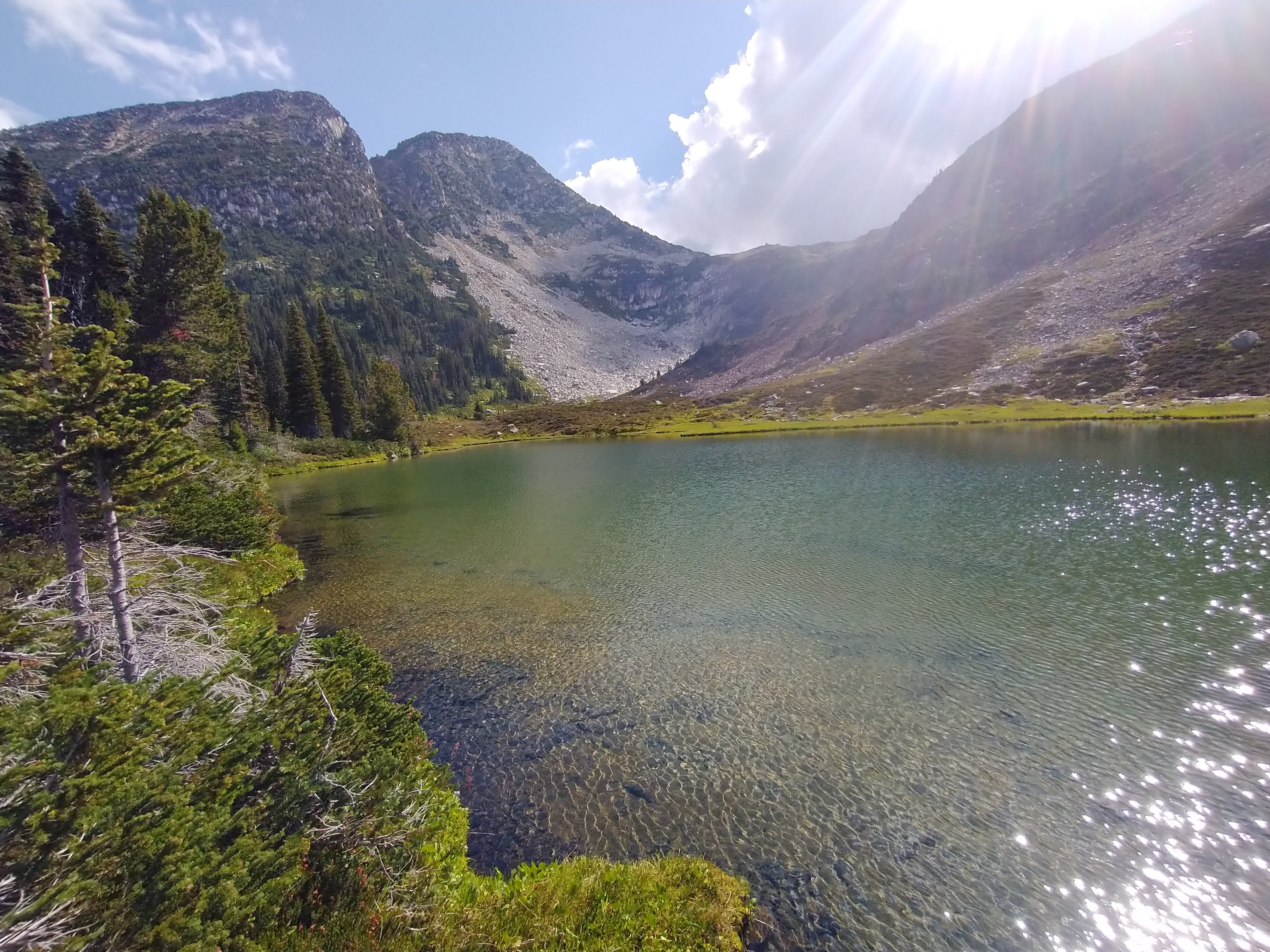
The next morning we lay all our gear out on the rocks to dry. After a quick swim, we set off for the lakes below Taillefer. The travel was easy. We wandered between beautiful alpine lakes along large granite slabs. A short ascent took us up onto a treed ridge where we swam and then headed over to the lakes where we planned to camp. Initially, we had thought about trying to go up Taillefer but some combination of laziness and swimming in tarns made us delay a day. We enjoyed a beautiful sunset camped below Taillefer.

Thursday August 25 – Taillefer to ‘Warm Mud Lake’
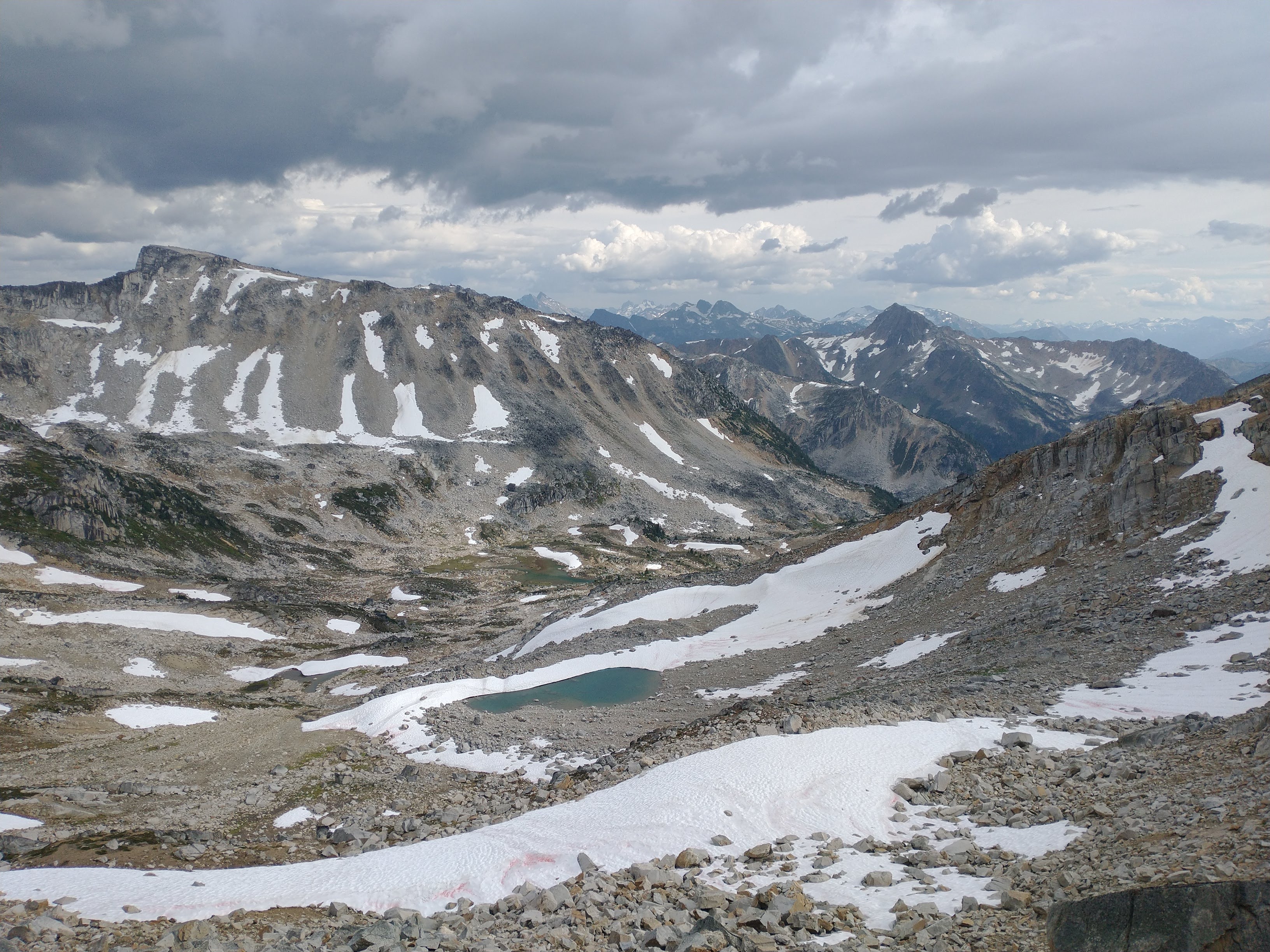
We got up, packed quickly and headed for Taillefer Peak. After climbing up to a col, we dropped our bags and quickly scrambled to the summit (from which we could see Phelix Hut). It was a very hot day! I never feel good when it is hot out but lying in the small patches of snow helped. On the way down, we filled our hats with snow, dipped shirts in the first stream we found and when we got back to our packs, ate lunch .
View looking east from Taillefer
Less than an hour after leaving the col, it started to rain. At first it felt good, in contrast to the heat. Then, we saw a bright flash of lightning and heard thunder right overhead. We dropped our bags and ran to the nearest slightly overhung boulder planning to wait out the storm. After being so warm all morning I decided to not bother digging through my pack in the storm to find a jacket. As we sat by the boulder, the rain got more intense. I began to regret leaving my jackets in my pack. Fairly quickly, we were soaked through. After 20+ minutes, we decided to run across the boulder field to a larger overhung boulder (almost like a cave). Eventually the rain slowed and we crawled out. My clothes were so wet I could wring the water out so I dug out a dry fleece and finally put on my rain jacket. We then hiked down into the valley below.

Hiding from the rain
There were signs of grizzly bears everywhere. Hoping to find a shortcut, we did not drop quite as low as the GPS track we were following did and soon found ourselves hanging off dripping wet bush above a creek. The best option to go up seemed to be hiking up the creek for a bit. Just as it got dark we arrived at what we assumed Nick and Lena’s group had called “warm mud lake”. I set the tent up without a headlamp and then with a light realized it was on a bear highway (right next to a large pile of fresh scat and on a trail filled with fresh tracks). I dragged it over a bit but figured anywhere nearby was equally likely to be noticed by the bears.
Warm mud lake
Friday August 26 – ‘Warm Mud Lake’ to McGillvary Pass
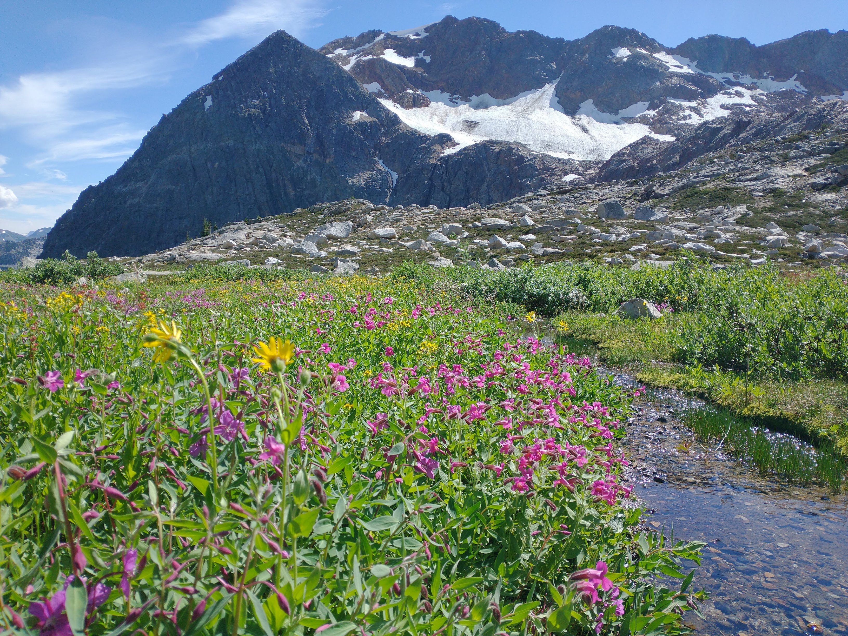
We slept listening for bears but saw none. After a swim in “warm mud lake” and drying out our gear after the storm we set off for McGillivary Pass. Compared to the bush in the creek the day before, the going was easy walking through alpine meadows. We stopped occasionally to watch the wind blow through the flowers. I kept wishing I could stay all day just watching the clouds pass overhead not going anywhere.

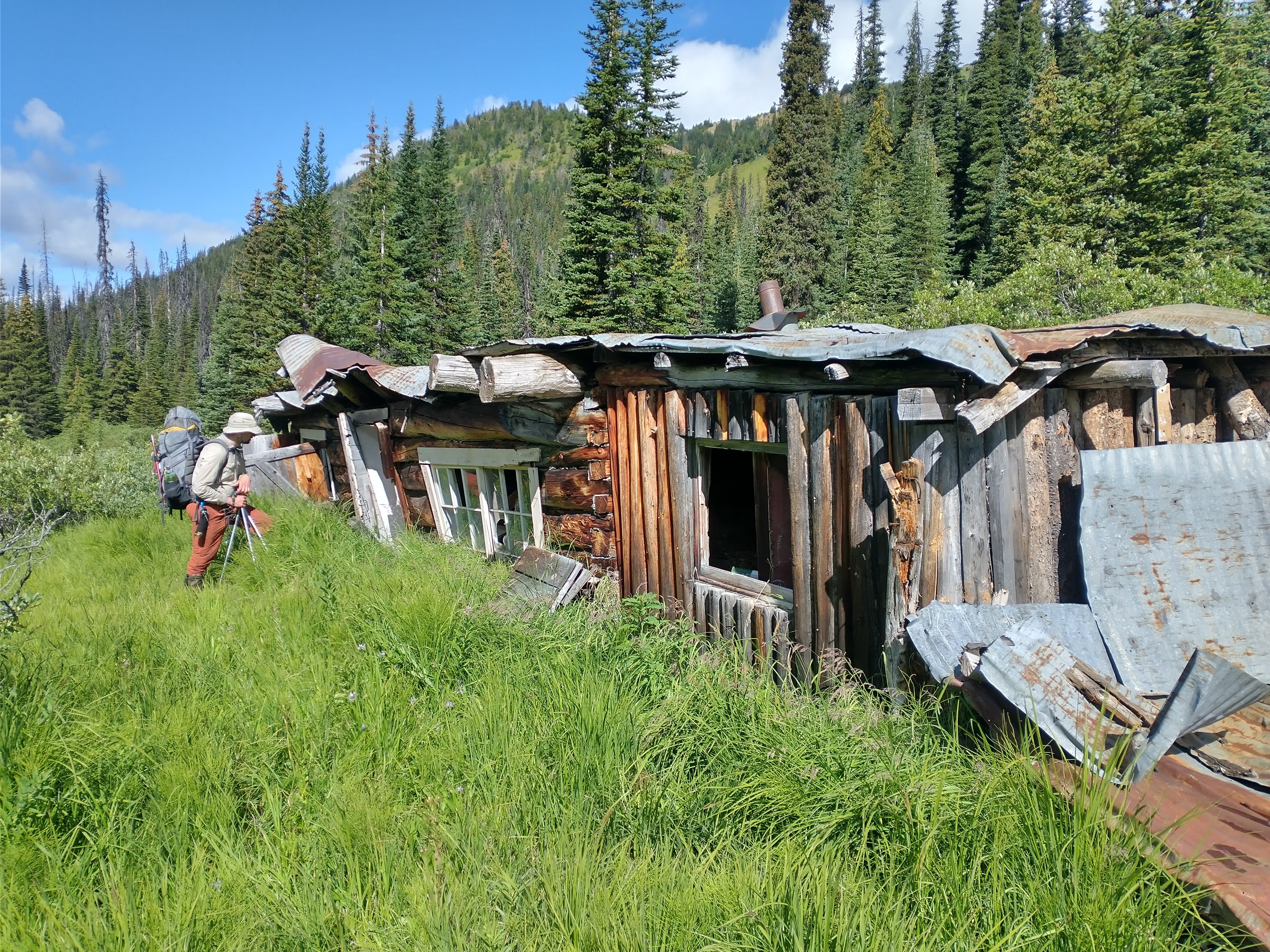
After eating lunch under some trees (while waiting for another short rainstorm to pass), we found ourselves looking down into McGillvary Pass. We could see the lodge and quickly found ourselves on a human trail (the first in the last 6 days of hiking). In the pass, we carefully skirted the lodge and hiked down the pass towards Bralorne. We set up camp. Tom was interested in going up Whitecap or at least heading up in that direction but I was exhausted – partially from getting so cold the day before. Instead we napped, ate dinner and wandered back through the pass towards the lodge in search of the old (VOC?) cabin in the pass. At the lodge, we met the first person we had seen since passing Lena’s group a few days before. They told us they had recently seen both grizzly bears and bull moose around so we assured them we would be careful and had bear spray. The “Star Link Cabin” was a bit further (maybe 2km) down the pass. It was an old log cabin, now falling apart, although I can imagine it would have made a great ski base 30 years ago.
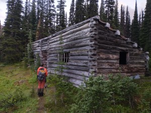
Star Link Cabin
Saturday August 27 – McGillvary Pass to Bralorne
The last day we followed the trail out from McGillvary Pass towards Bralorne. We admired the old miner claims and cabins scattered along the trail. It got quite muddy towards the end. By the time we reached the cars we were so dirty that we went and stood in the river to wash the mud off our gaiters/boots before getting into Hamish’s truck. A quick stop at the general store in Gold Bridge got us a couple sandwiches and whipping cream (we wanted ice cream but it was sold out from the earlier heat wave). We continued over the Hurley and up the Hope Creek FSR to get Tom’s car. At the turnoff for Tenquille Lake, we met up with Lena, Nick, Charles, Neve, Rohan and Hamish where we compared rock collections and caught up on the rest of the trip.
Mining cabin
Overall, it was a great trip that mostly involved slowly wandering through beautiful alpine meadows for 7 days (and surprisingly little bush)! If you were pressed for time, this trip could probably be done in 4-5 days or even a shorter version from Hope Creek to Phelix Hut in a 3 day long weekend. Thank you Lena (and Nick and Hamish) for posting about it on the message board, sending us a GPS track to roughly follow and providing a car shuttle.